Upper Lane Creek - FS 2000-280
Total Miles
1.2
Technical Rating
Best Time
Spring, Summer, Fall
Trail Type
Full-Width Road
Accessible By
Trail Overview
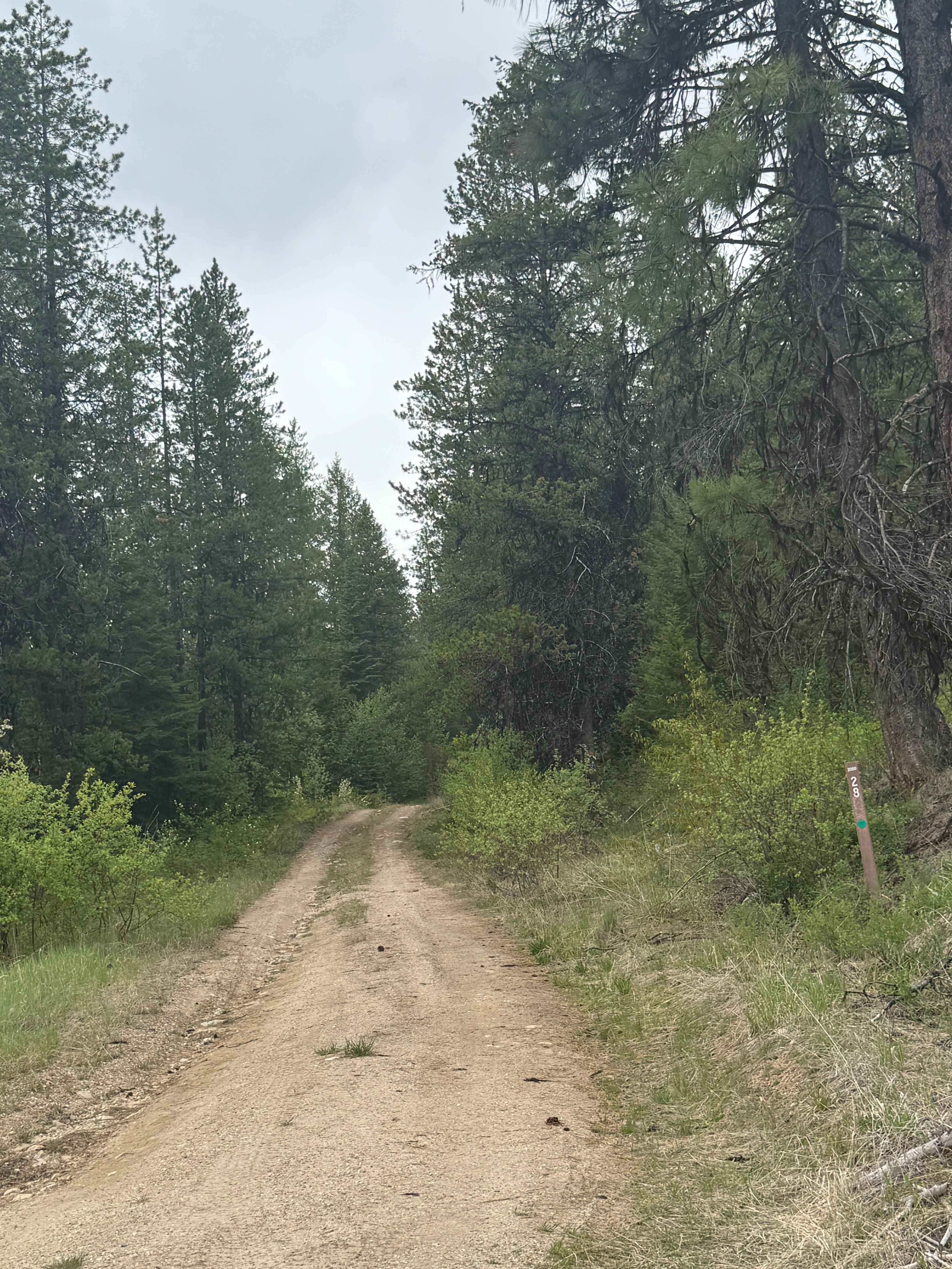
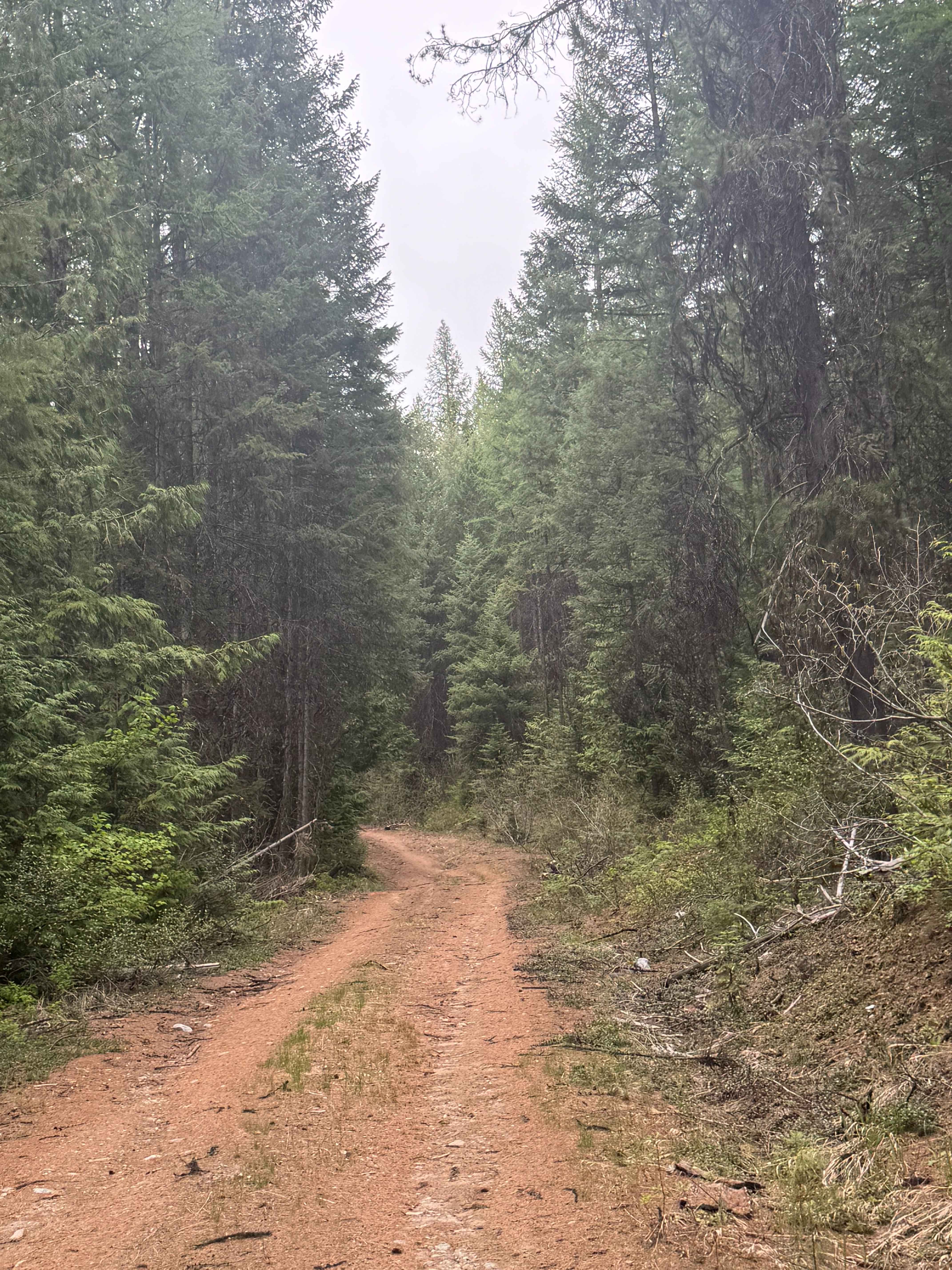
This is a dirt-based forest road in the Colville National Forest with minor ruts and wash. The trail climbs approximately 500 feet in elevation before ending at an earth barrier with a large boulder in the middle. The trail is a narrow, one-lane road with some places to pass. The vegetation around the trail has grown up, so you may pick up a pin stripe. The forest is dense in this area, and at the end of the trail, it opens up into a wide dispersed camp spot big enough for two rigs with a pre-existing fire ring. There are no amenities on the trail, and cell phone service is weak. The closest services and supplies are approximately 15 minutes to the east on Highway 20 in the City of Kettle Falls, Washington. Any vehicle type should be able to travel this trail.
Photos of Upper Lane Creek - FS 2000-280
Difficulty
Narrow dirt-based forest road that is one lane wide and two-track most of the way. There is a gradual climb and minor ruts and wash.
Status Reports
Upper Lane Creek - FS 2000-280 can be accessed by the following ride types:
- High-Clearance 4x4
- SUV
- SxS (60")
- ATV (50")
- Dirt Bike
Upper Lane Creek - FS 2000-280 Map
Popular Trails
Rock n Roll Ravine
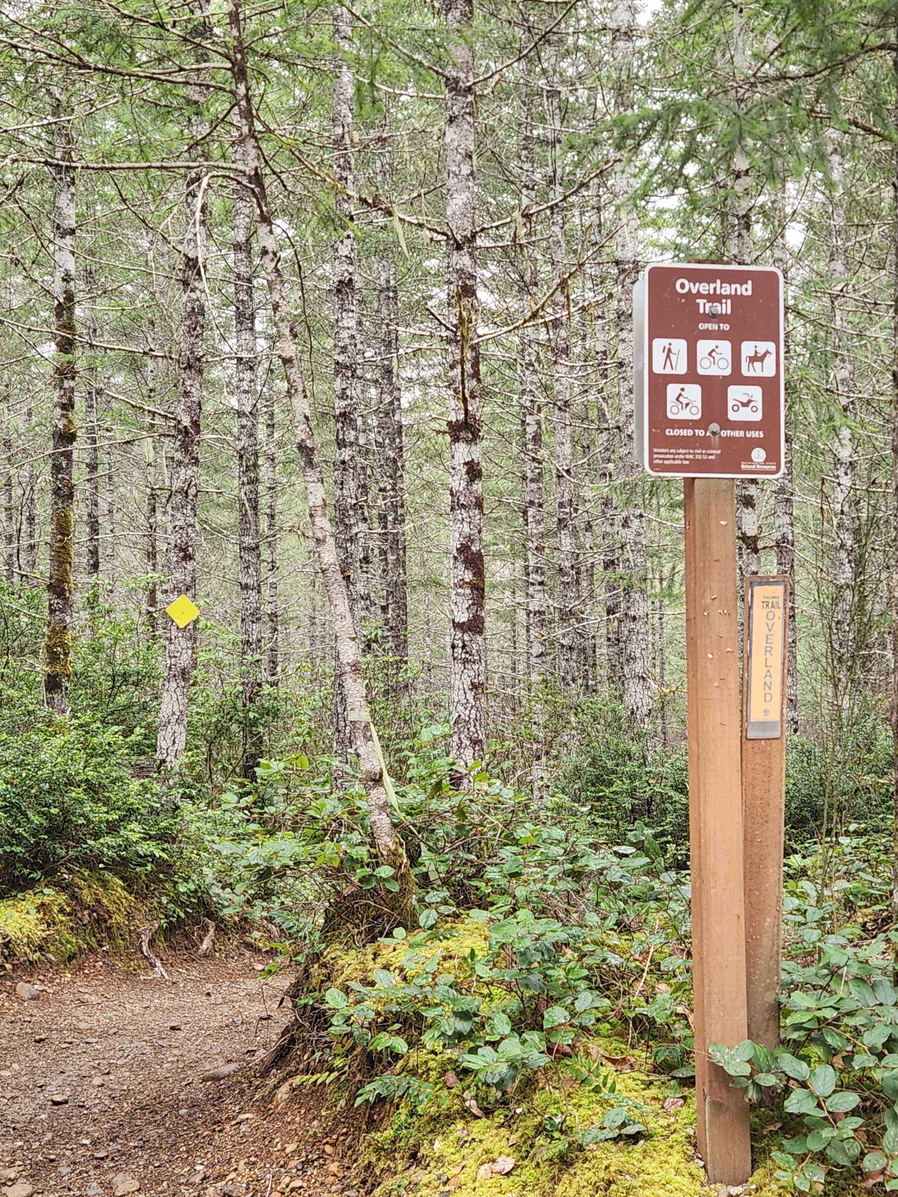
Overland Trail

Ben's Revenge
The onX Offroad Difference
onX Offroad combines trail photos, descriptions, difficulty ratings, width restrictions, seasonality, and more in a user-friendly interface. Available on all devices, with offline access and full compatibility with CarPlay and Android Auto. Discover what you’re missing today!