Timberwolf Mountain - NF1500-190
Total Miles
2.5
Technical Rating
Best Time
Spring, Summer, Fall
Trail Type
Full-Width Road
Accessible By
Trail Overview
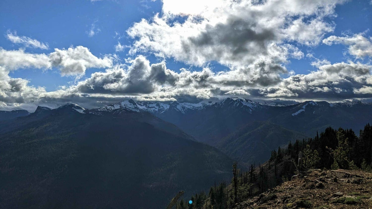
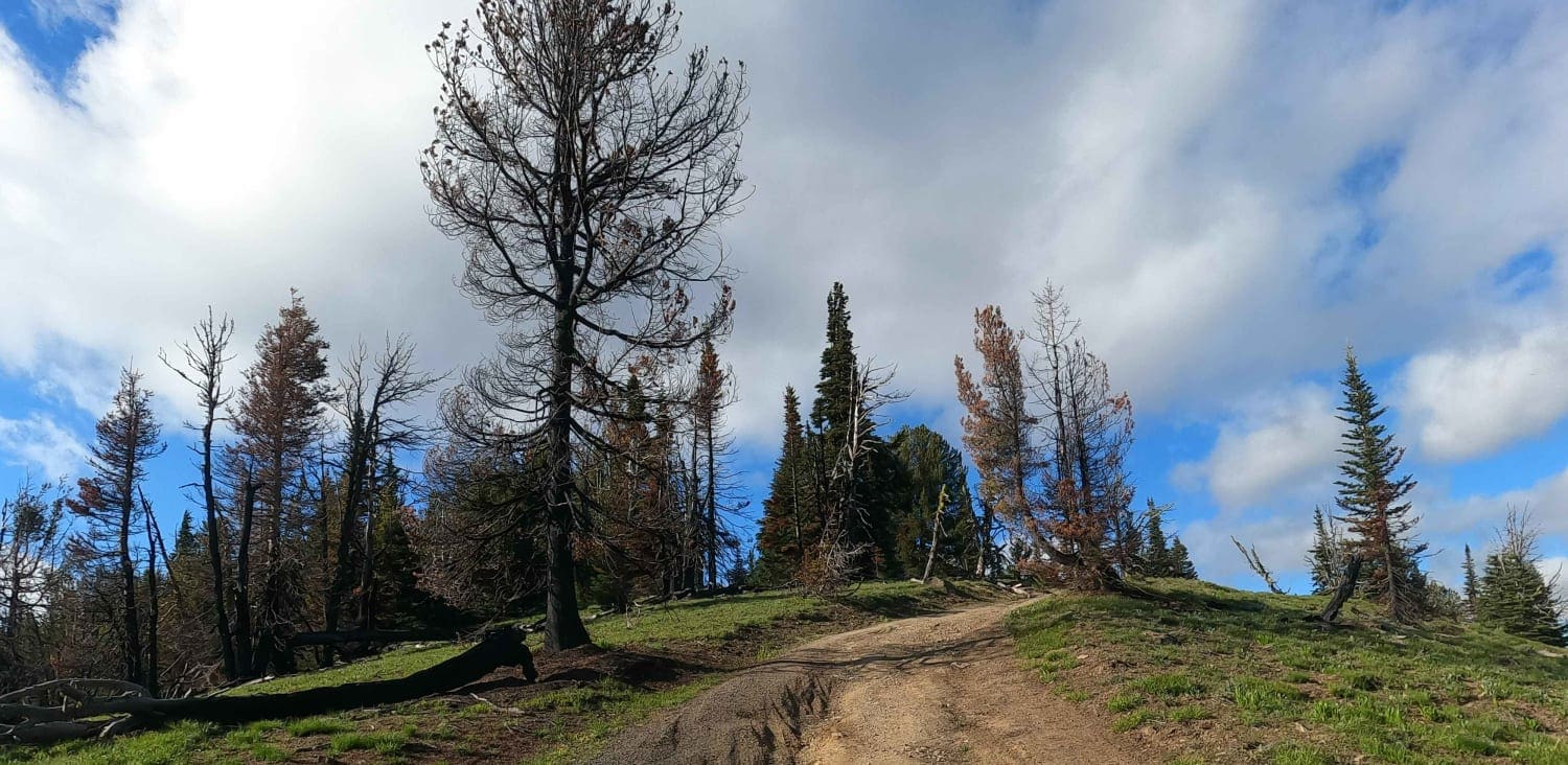
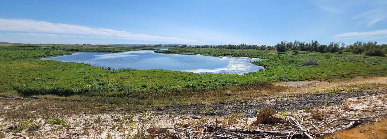
Timberwolf Moutain is a 2.5-mile spur road off of Bethel Ridge Road that accesses a viewpoint at the peak of the mountain at 6375'. It is generally a semi-maintained gravel Forest Service road but it is currently in rough shape as Timberwolf Mountain burned in a wildfire during the summer of 2021. There are fallen burnt trees along the road. Be prepared to buck out fallen trees or turn back if visiting Timberwolf Mountain after a recent storm. This road is snowbound until late May or early June.
Photos of Timberwolf Mountain - NF1500-190
Difficulty
bumpy dirt forest service road
Status Reports
Timberwolf Mountain - NF1500-190 can be accessed by the following ride types:
- High-Clearance 4x4
- SUV
Timberwolf Mountain - NF1500-190 Map
Popular Trails

Second Creek Road
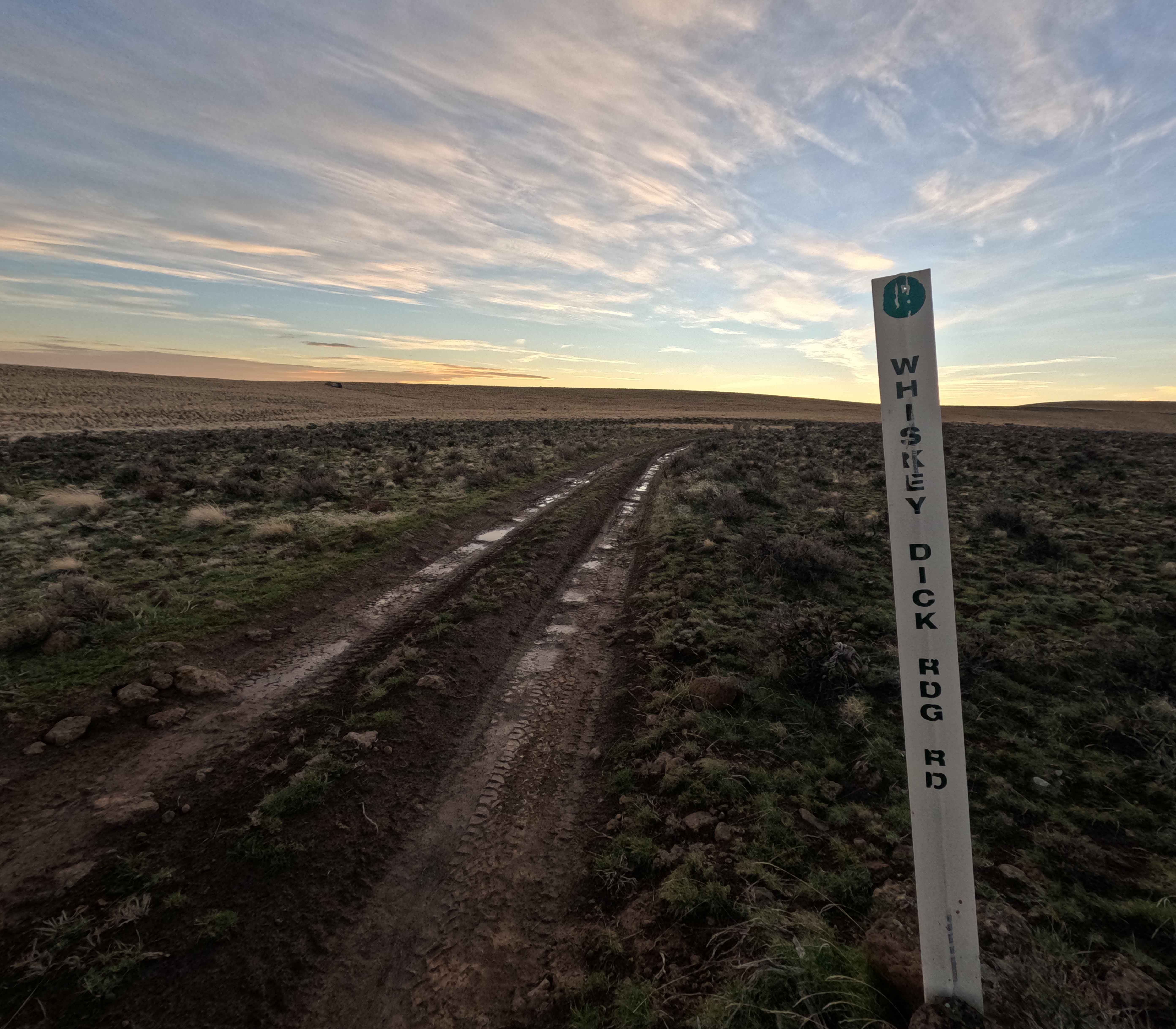
Whiskey Dick Ridge Road
Pete's Creek Trail
The onX Offroad Difference
onX Offroad combines trail photos, descriptions, difficulty ratings, width restrictions, seasonality, and more in a user-friendly interface. Available on all devices, with offline access and full compatibility with CarPlay and Android Auto. Discover what you’re missing today!