T57
Total Miles
7.3
Technical Rating
Best Time
Summer, Fall
Trail Type
Full-Width Road
Accessible By
Trail Overview
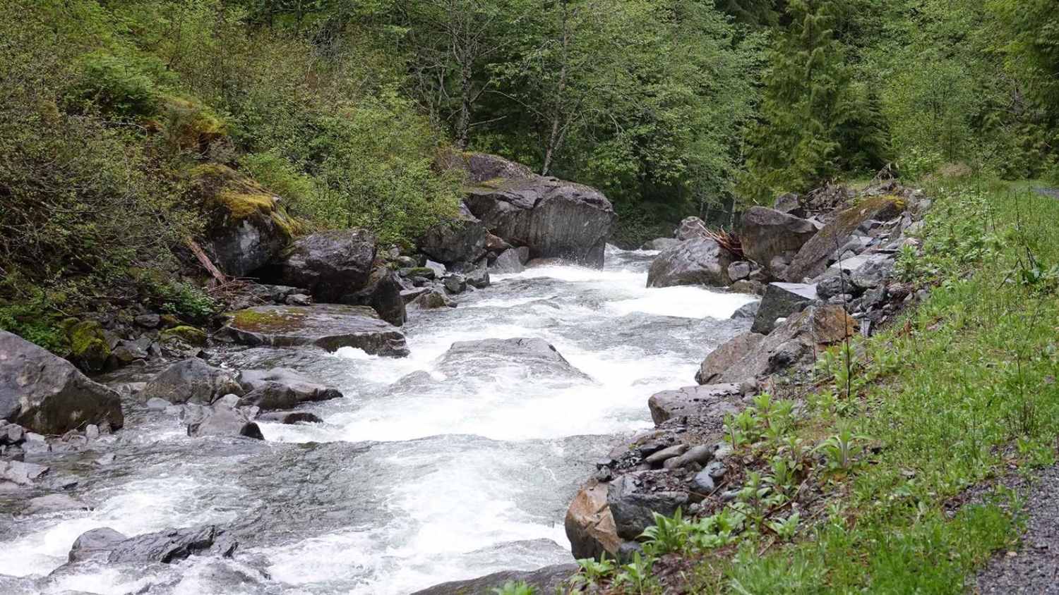
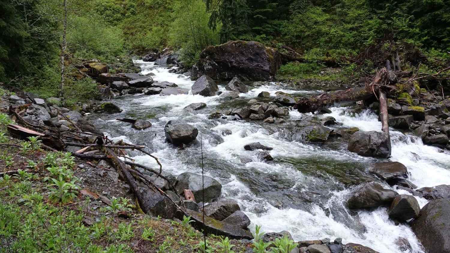
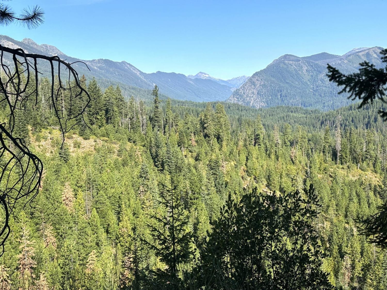
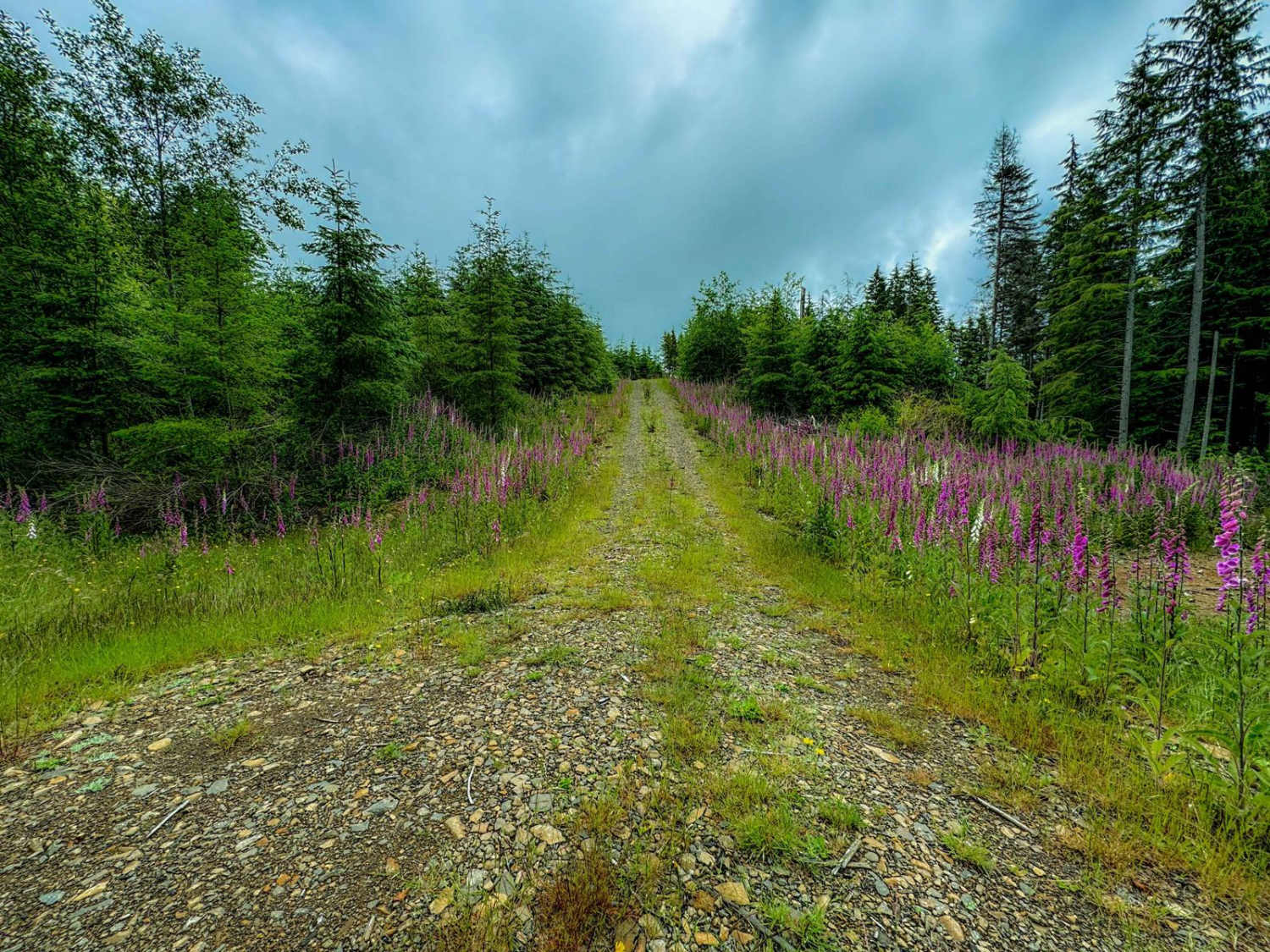
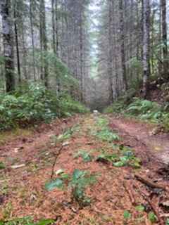
Crossing the bridge at the end of North Fork Road opens up several trails and riverside camping spots for the more adventurous. The first right leads to fire road T57, which follows the river on the north side up to a washed-out wooden bridge and waterfall. In the springtime, the river runs high with rapids. Expect pinstripes from overhanging trees.
Photos of T57
Difficulty
Any vehicle that has made it this far can handle this trail. There is a rutted area and a height restriction due to trees leaning across the trail.
History
This trail used to be part of a longer trail system that degraded over time. The longer trail seems to continue after the washed-out bridge.
Status Reports
T57 can be accessed by the following ride types:
- High-Clearance 4x4
- SUV
T57 Map
Popular Trails
Pole Creek Loop
Radar Mainline
Capitol Forest South Trail

Forest Lake Rd 7222
The onX Offroad Difference
onX Offroad combines trail photos, descriptions, difficulty ratings, width restrictions, seasonality, and more in a user-friendly interface. Available on all devices, with offline access and full compatibility with CarPlay and Android Auto. Discover what you’re missing today!