Rocky
Total Miles
0.7
Technical Rating
Best Time
Spring, Fall
Trail Type
50" Trail
Accessible By
Trail Overview
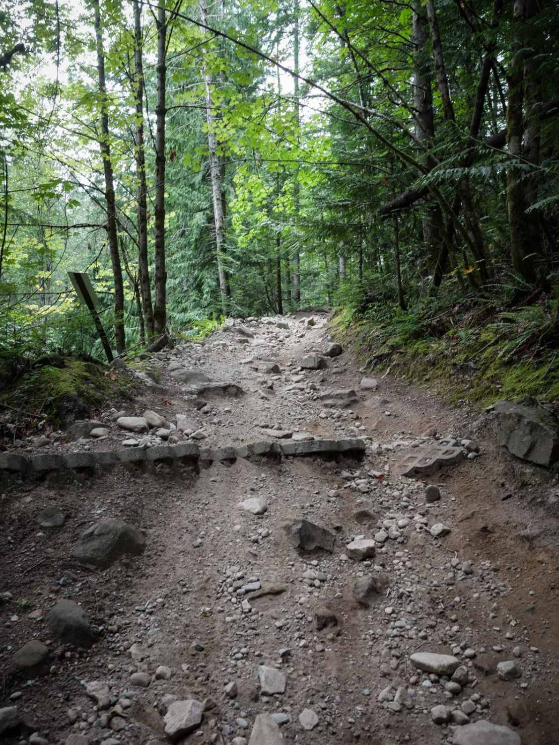
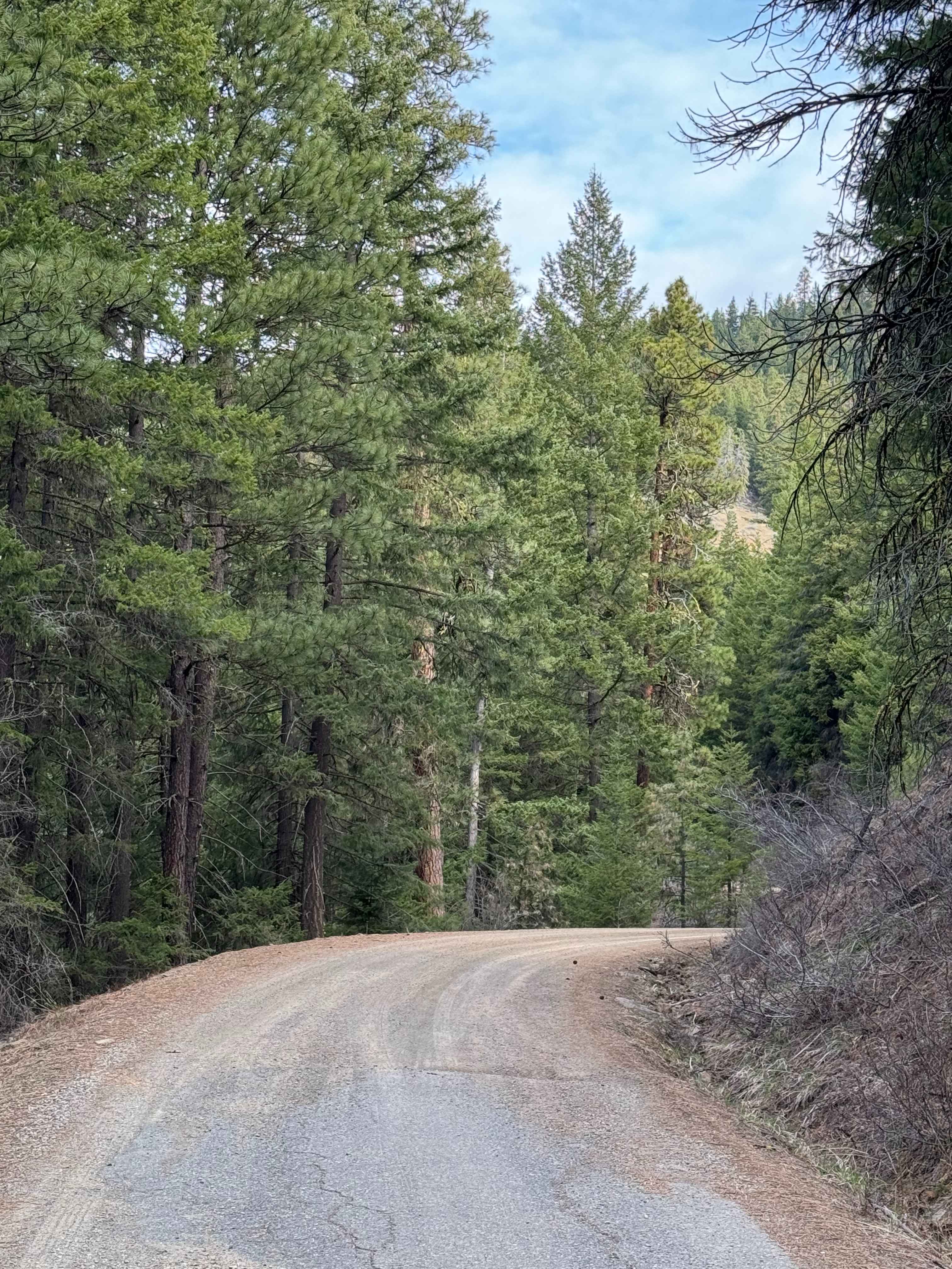
This trail begins at the southern boundary with a wide, easy, and flowy path that weaves through open meadows, grassy hillsides, and sparse pine forest. It quickly narrows in places between trees, making it more of a dirt bike trail, and includes some flat embedded rock faces and light rutting. After the trail sidehill up the slope, it transitions into a rockier descent with drop-offs and a narrow track more suited for dirt bikes. The surface is loose with embedded rock faces, and a deep central rut making navigation more technical. The final section includes a shelfy, narrow sidehill under dense brush, followed by a challenging rocky climb with embedded boulder faces and loose, chunky rock.
Photos of Rocky


Difficulty
This is an intermediate trail due to its tight and rutted rocky sections and a couple of technical climbs and descents. It's also quite narrow in spots, making it less ideal for ATVs.
Status Reports
Rocky can be accessed by the following ride types:
- ATV (50")
- Dirt Bike
Rocky Map
Popular Trails


Nettleton/Forest Road 2441
Russell Ridge - FS 1306
The onX Offroad Difference
onX Offroad combines trail photos, descriptions, difficulty ratings, width restrictions, seasonality, and more in a user-friendly interface. Available on all devices, with offline access and full compatibility with CarPlay and Android Auto. Discover what you’re missing today!