Road 14.14
Total Miles
1.3
Technical Rating
Best Time
Spring, Summer, Fall, Winter
Trail Type
Full-Width Road
Accessible By
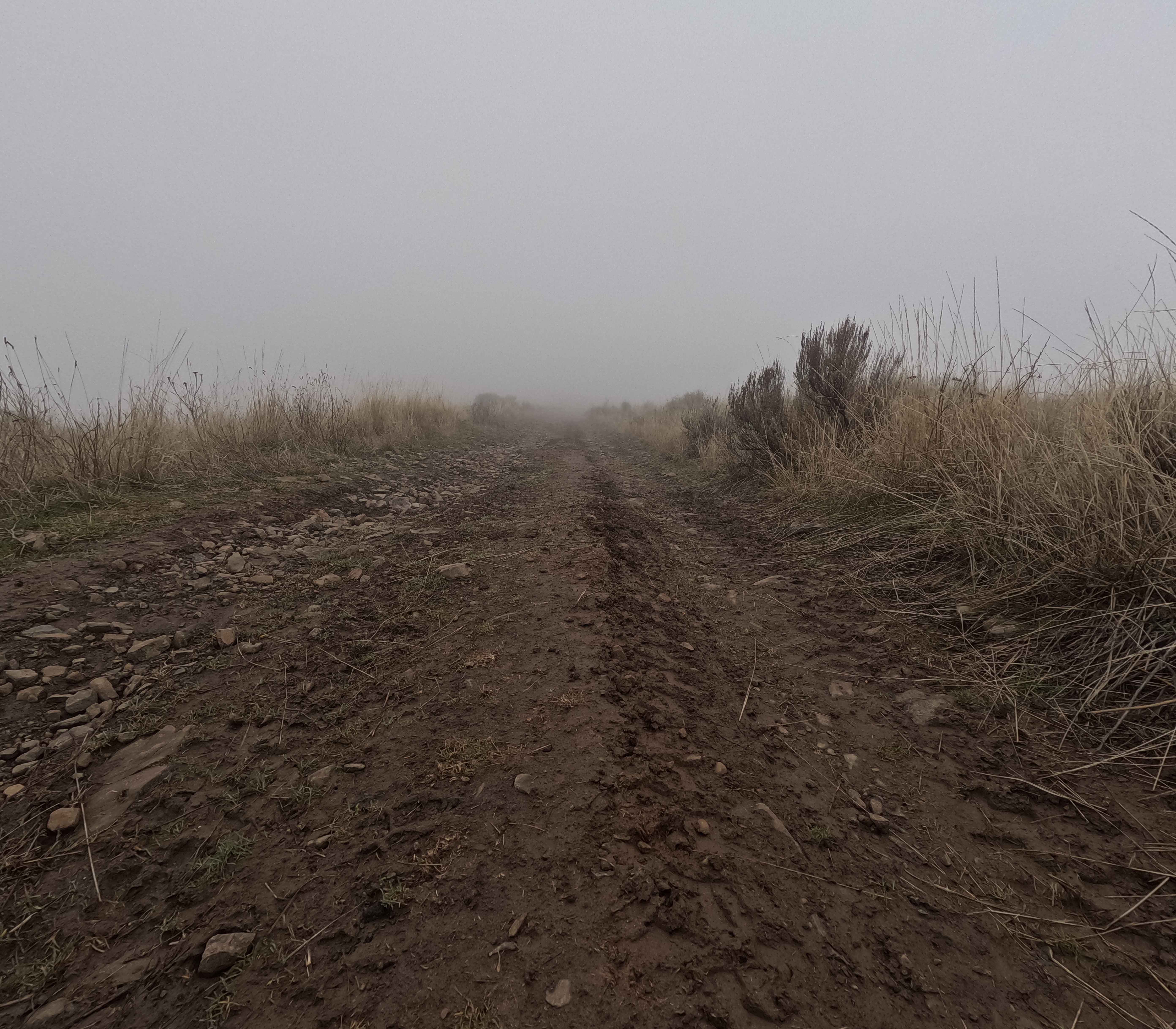
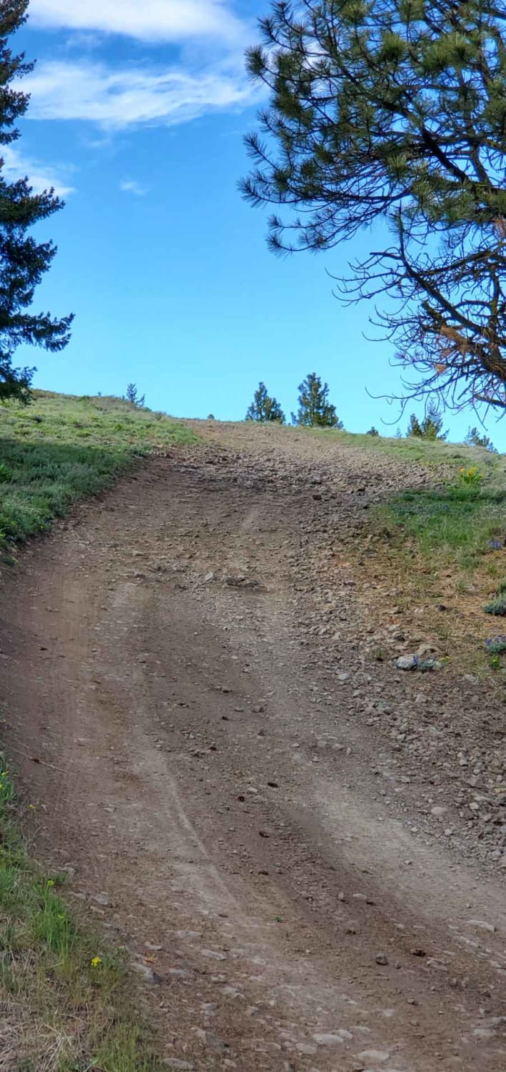
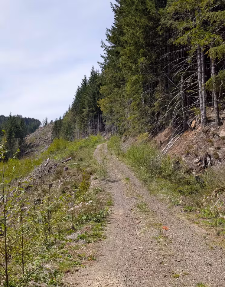
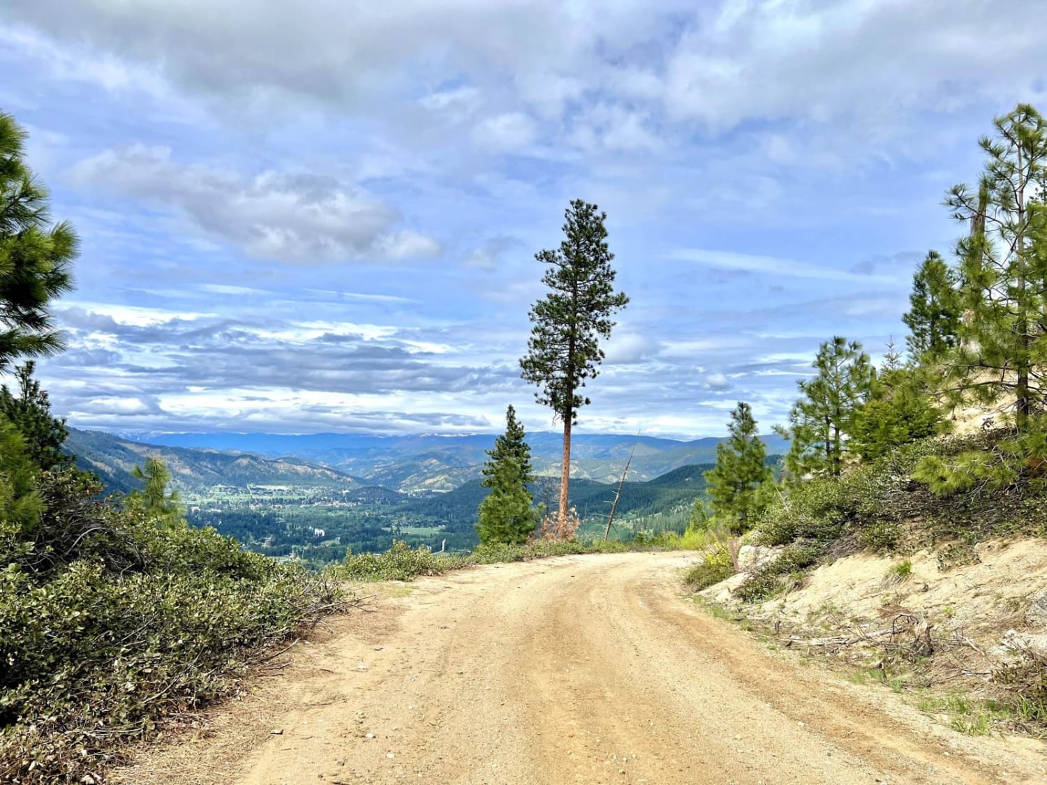
Trail Overview
Road 14.14 is a 1.3-mile out-and-back trail that follows a ridgeline, ending at a road closed sign near Cape Horn. Offering stunning views of Brewton Gulch to the south and the Columbia River to the north, this trail is a shelf road with sections of small ruts, loose fist-sized rocks, and one mud hole after wet weather. This trail is managed by the Washington Department of Natural Resources and the Department of Fish and Wildlife. A Washington State Discover Pass is required for access. Motorized vehicle use is restricted to roads marked with green dots only, as per management regulations. Road 14.14 is accessible year-round.
Photos of Road 14.14

Difficulty
With only some sections of ruts and loose rock, Road 14.14 offers an approachable challenge with stunning views as a reward. Safe for 2WD vehicles with moderate clearance, there is a significant amount of shelf road exposure at some points. Weather conditions, such as snow and rain, can significantly impact trail difficulty.
Status Reports
Road 14.14 can be accessed by the following ride types:
- High-Clearance 4x4
- SUV
- SxS (60")
- ATV (50")
- Dirt Bike
Road 14.14 Map
Popular Trails

CG 2030 / CG 2037 / CG 2200
Cleman Mountain
Mountain Home Ranch Road
The onX Offroad Difference
onX Offroad combines trail photos, descriptions, difficulty ratings, width restrictions, seasonality, and more in a user-friendly interface. Available on all devices, with offline access and full compatibility with CarPlay and Android Auto. Discover what you’re missing today!