Mack King Trail
Total Miles
13.8
Technical Rating
Best Time
Trail Type
60" Trail
Accessible By
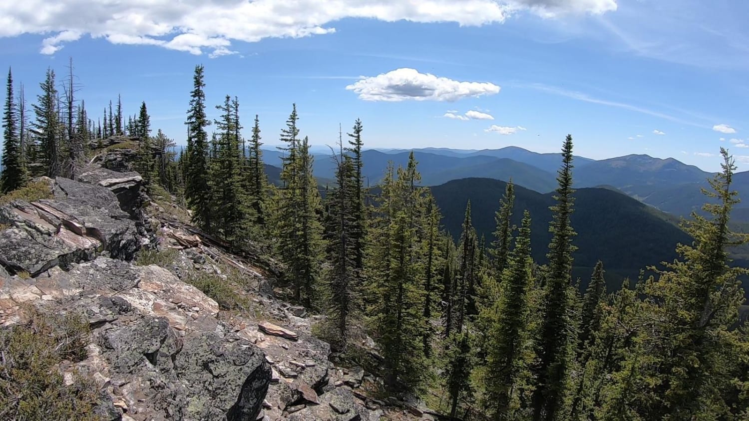
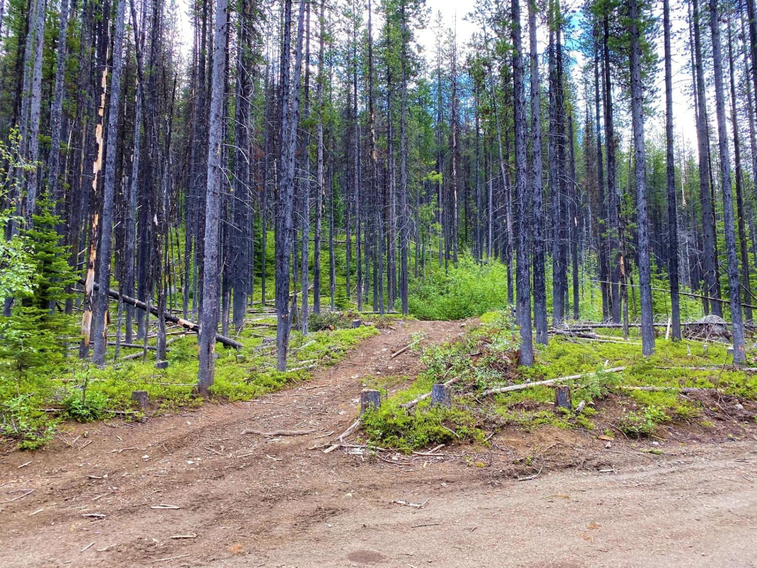
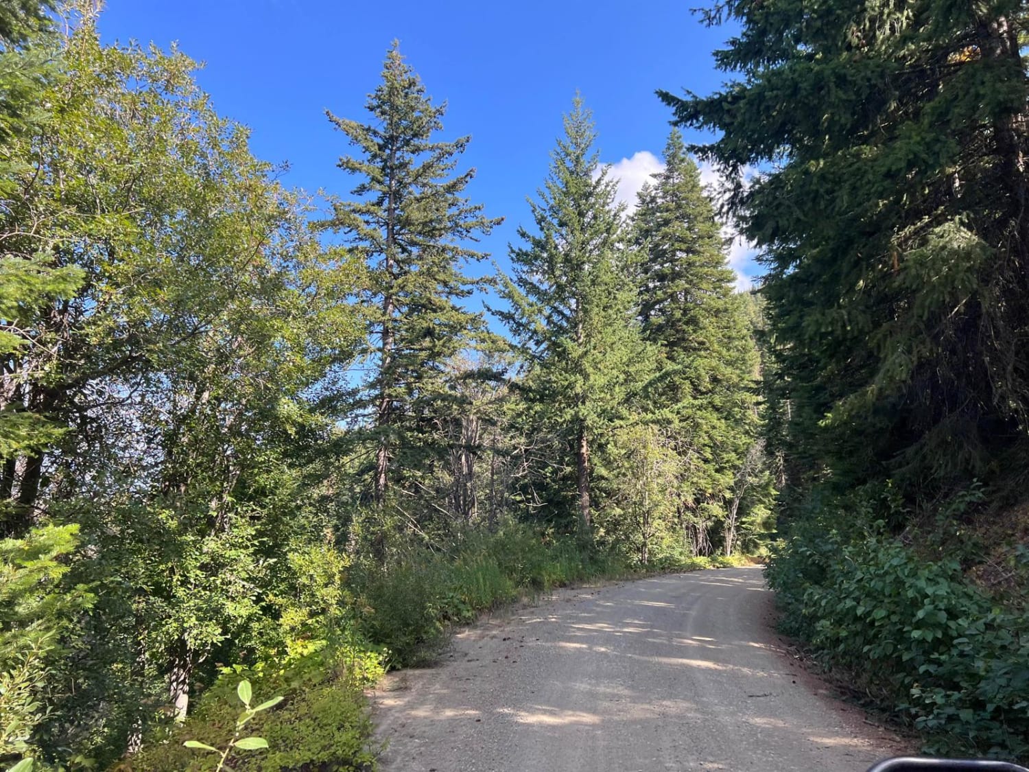
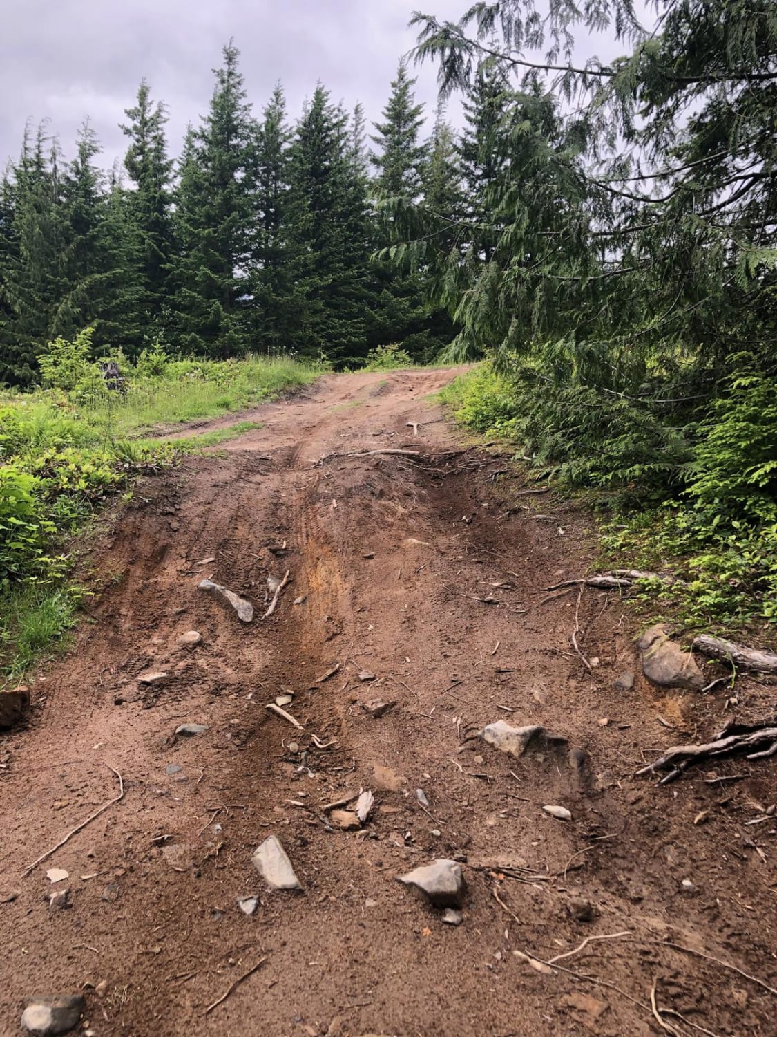
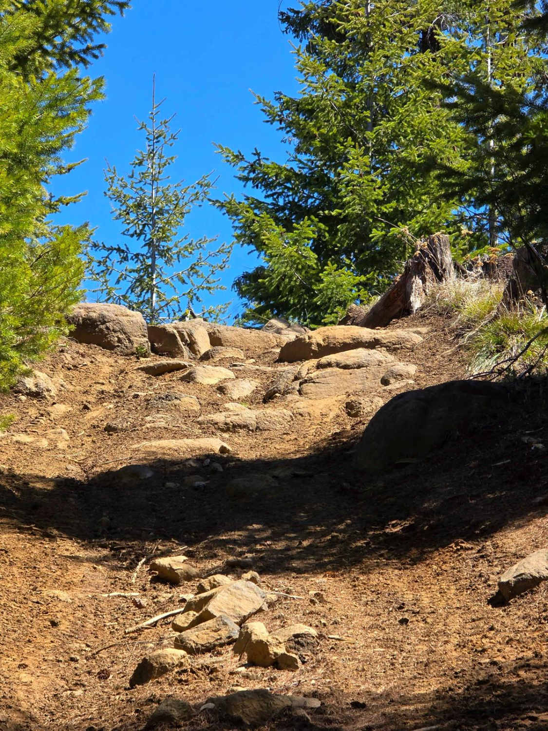
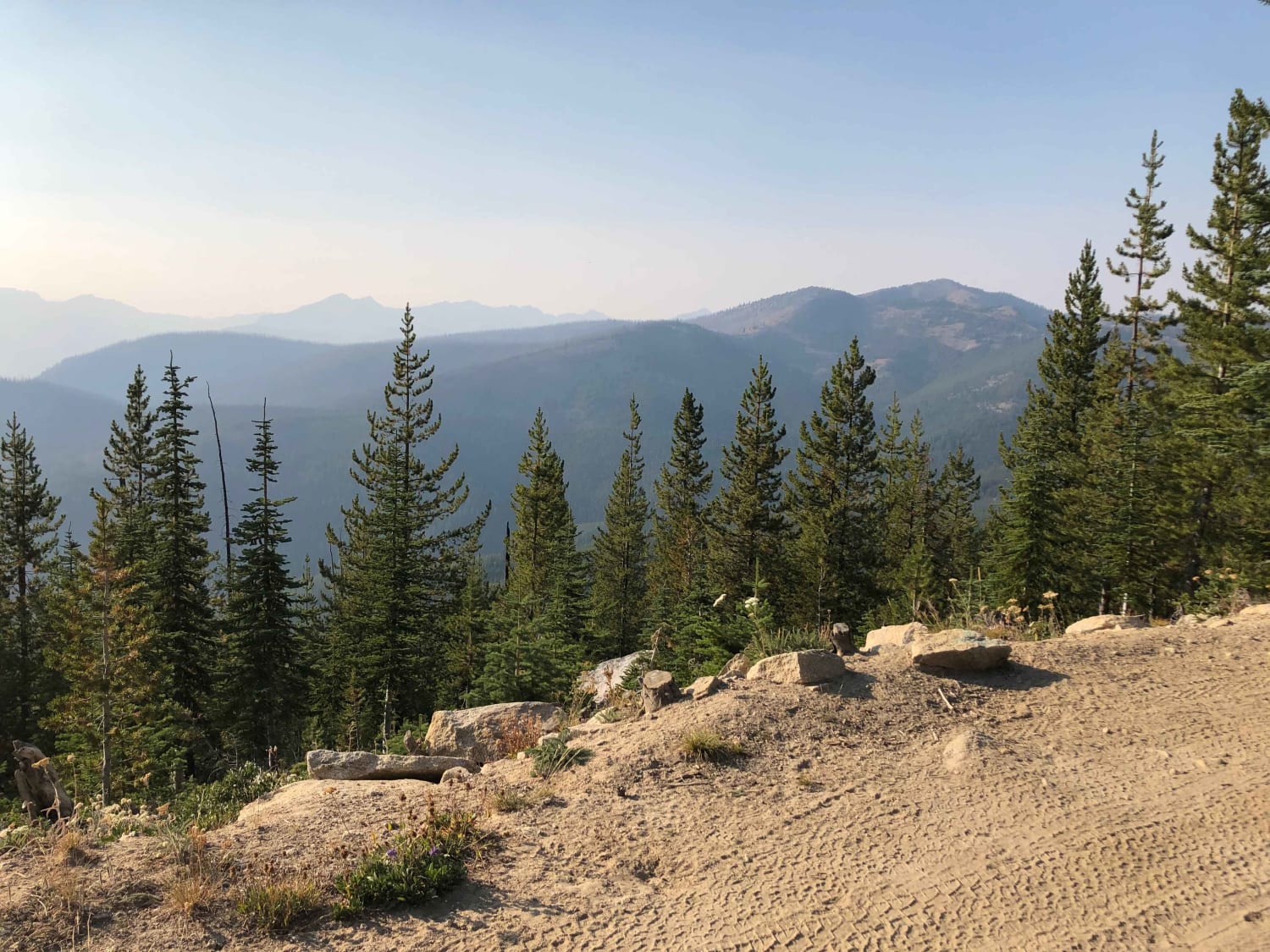
Trail Overview
Challenging trail for novice, less-experienced riders. Has a variety of small rocky ledges, steep pitches, and off-camber terrain to negotiate. Western end of route is less challenging than eastern half. Mountain trail with some open stretches for viewpoints. Mostly forested. Few pullouts, so be aware of opposite direction traffic. Potential brush overgrowth and seasonal downfall due to storms may block the trail. Take chainsaws, axes, or bucksaws to clear debris as needed.
Photos of Mack King Trail
Mack King Trail can be accessed by the following ride types:
- SxS (60")
- ATV (50")
- Dirt Bike
Mack King Trail Map
Popular Trails
Sugarloaf Mountain Lookout Tower
Divide Trail 4W311
West Shady Pass to Big Hill
The onX Offroad Difference
onX Offroad combines trail photos, descriptions, difficulty ratings, width restrictions, seasonality, and more in a user-friendly interface. Available on all devices, with offline access and full compatibility with CarPlay and Android Auto. Discover what you’re missing today!