Lower Chiwawa River Road
Total Miles
2.4
Technical Rating
Best Time
Spring, Summer, Fall
Trail Type
Full-Width Road
Accessible By
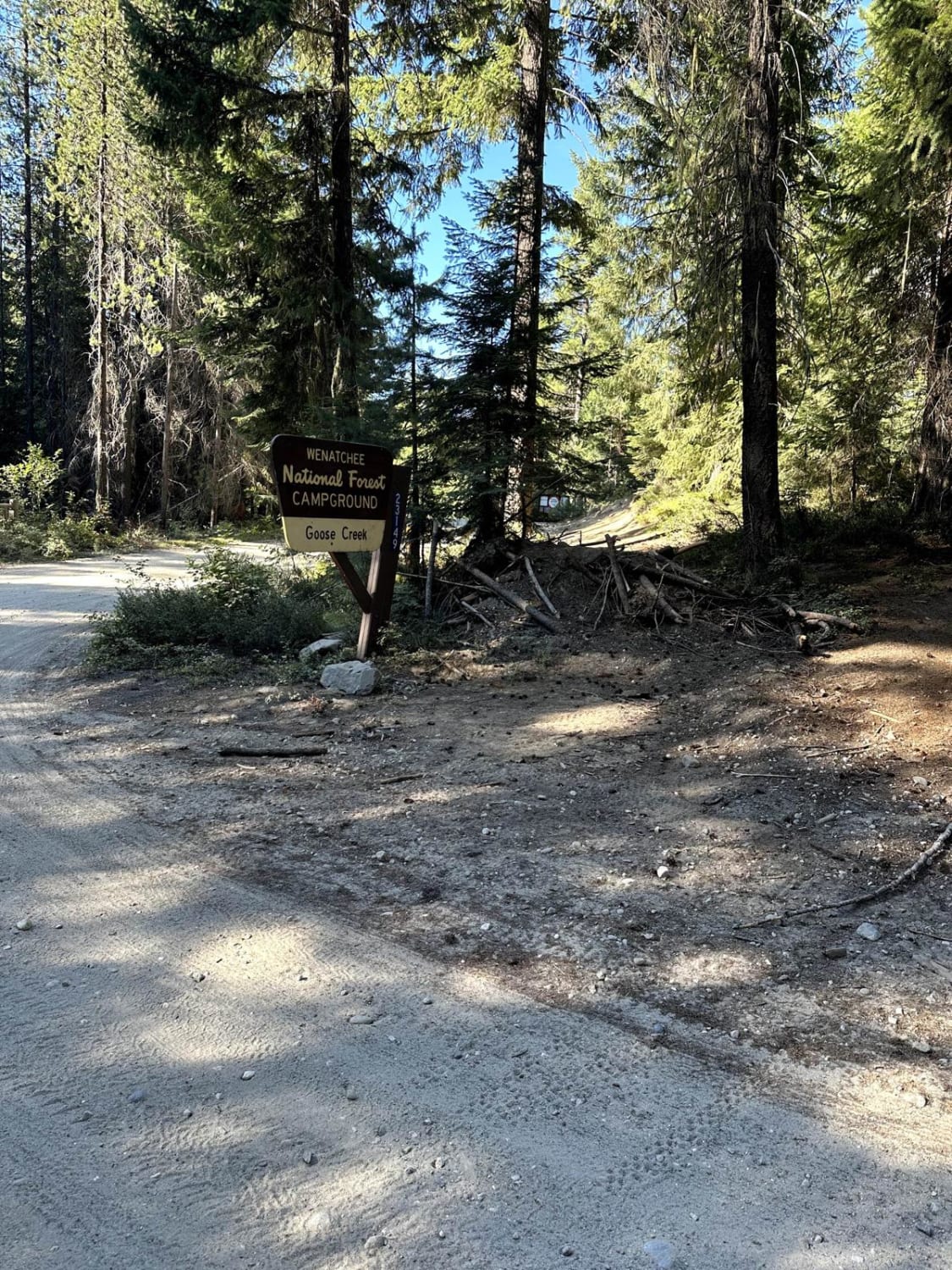
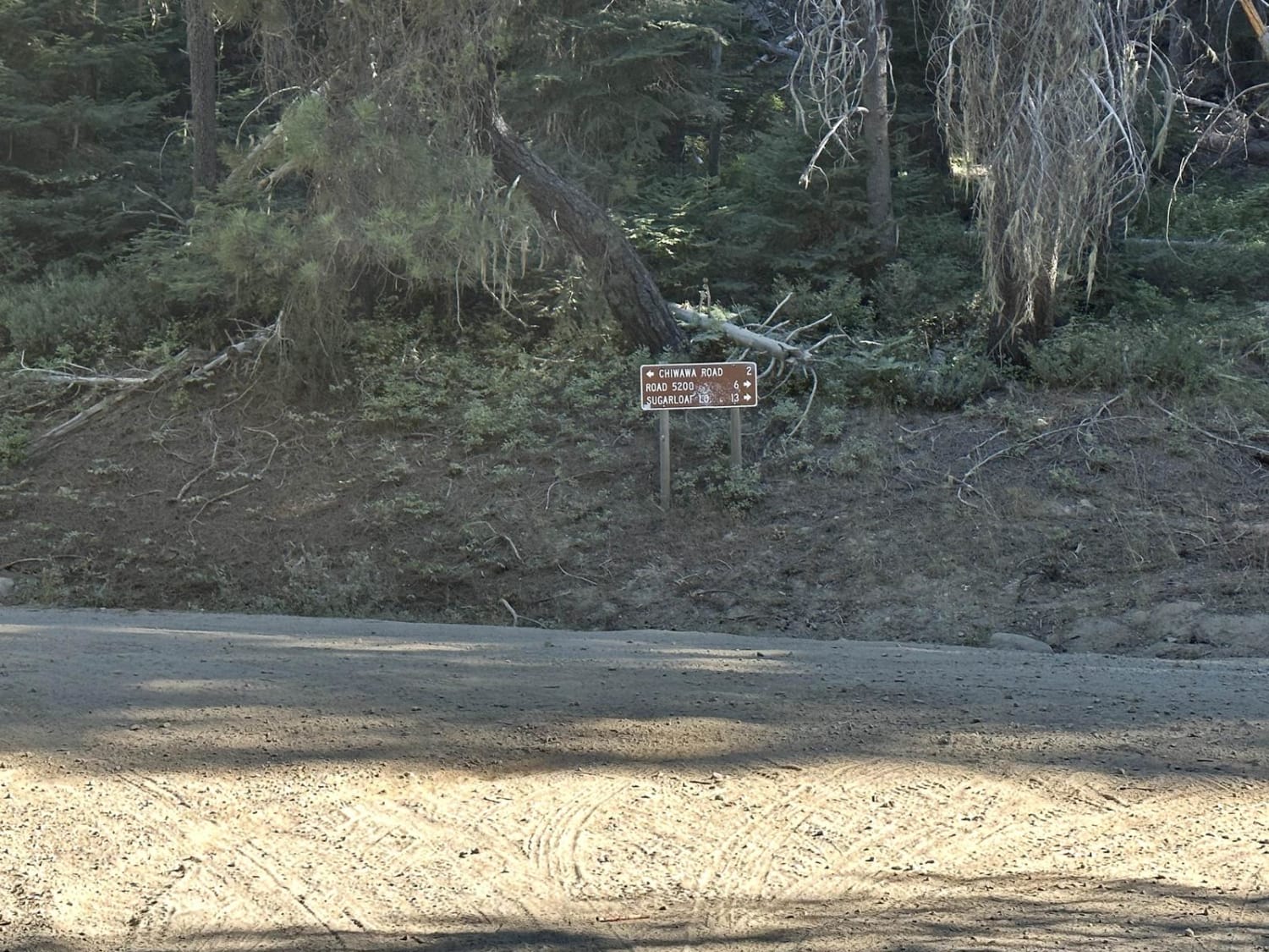
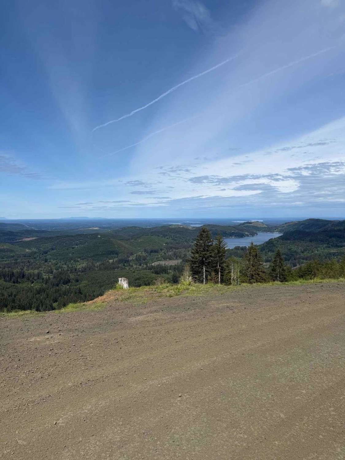
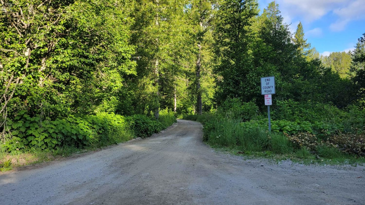
Trail Overview
This 2.5-mile point-to-point trail is a connector from the Deep Creek area to the Chiwawa River Road (paved). This trail also gives access to the Goose Creek Campground. This trail is a maintained two-vehicle-width Forest Service road. This trail is passable by 2WD, AWD, and 4WD vehicles.
Photos of Lower Chiwawa River Road
Difficulty
This is a two-vehicle trail with shallow mud holes.
Status Reports
Lower Chiwawa River Road can be accessed by the following ride types:
- High-Clearance 4x4
- SUV
- SxS (60")
- ATV (50")
- Dirt Bike
Lower Chiwawa River Road Map
Popular Trails
Phelps Creek Trailhead
Owl Mountain Trail
Rock Candy Trail
White River Road - FR 6400
The onX Offroad Difference
onX Offroad combines trail photos, descriptions, difficulty ratings, width restrictions, seasonality, and more in a user-friendly interface. Available on all devices, with offline access and full compatibility with CarPlay and Android Auto. Discover what you’re missing today!