Lane Creek - FS 2000-220
Total Miles
8.2
Technical Rating
Best Time
Spring, Summer, Fall
Trail Type
Full-Width Road
Accessible By
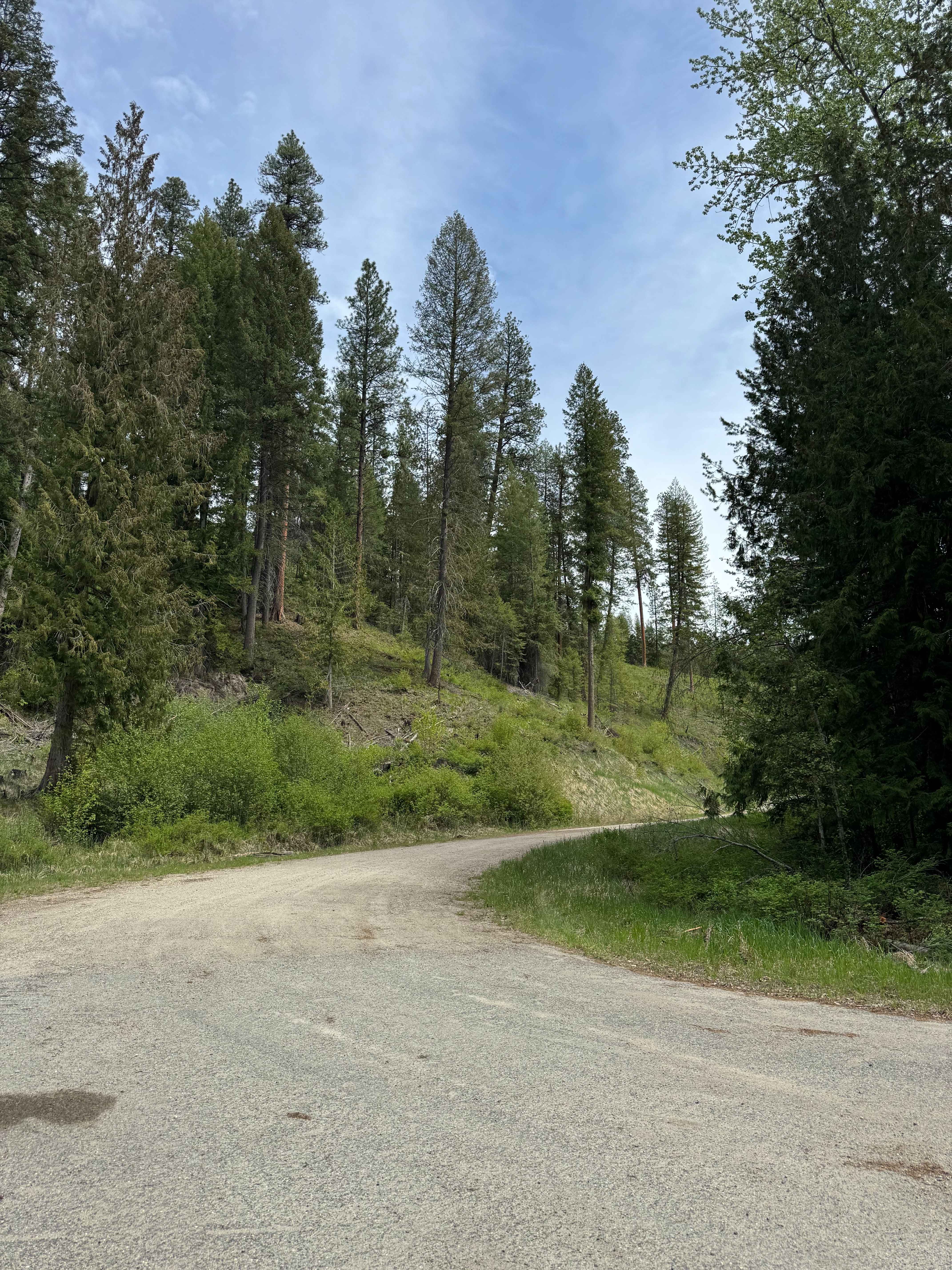
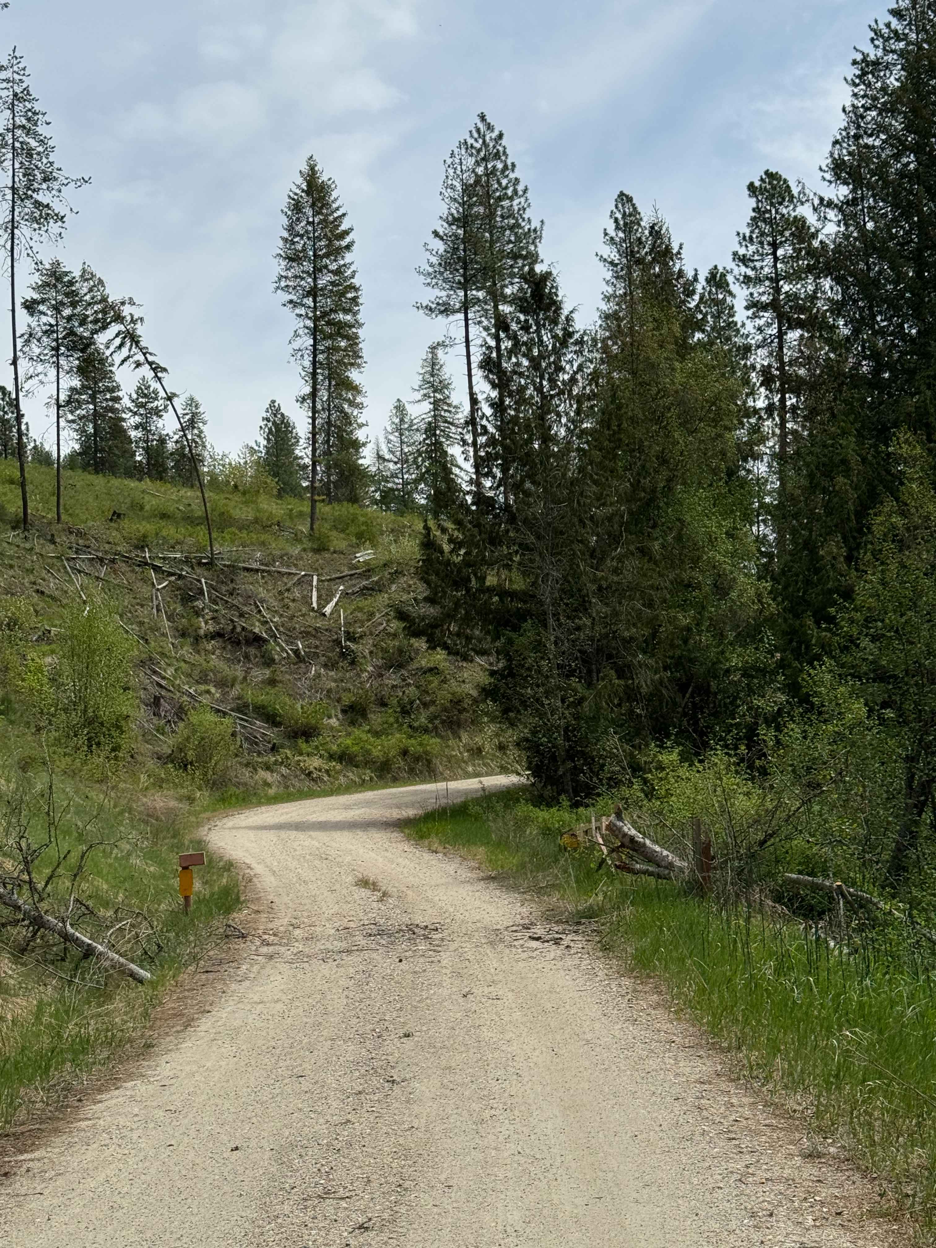
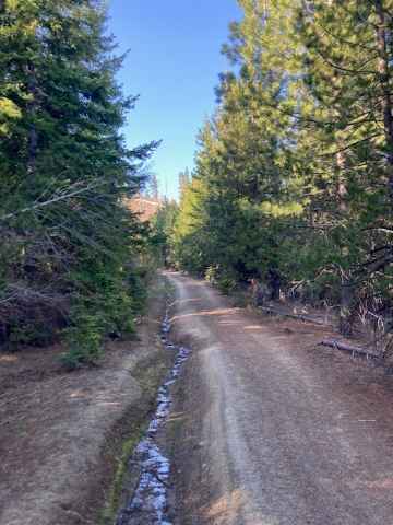
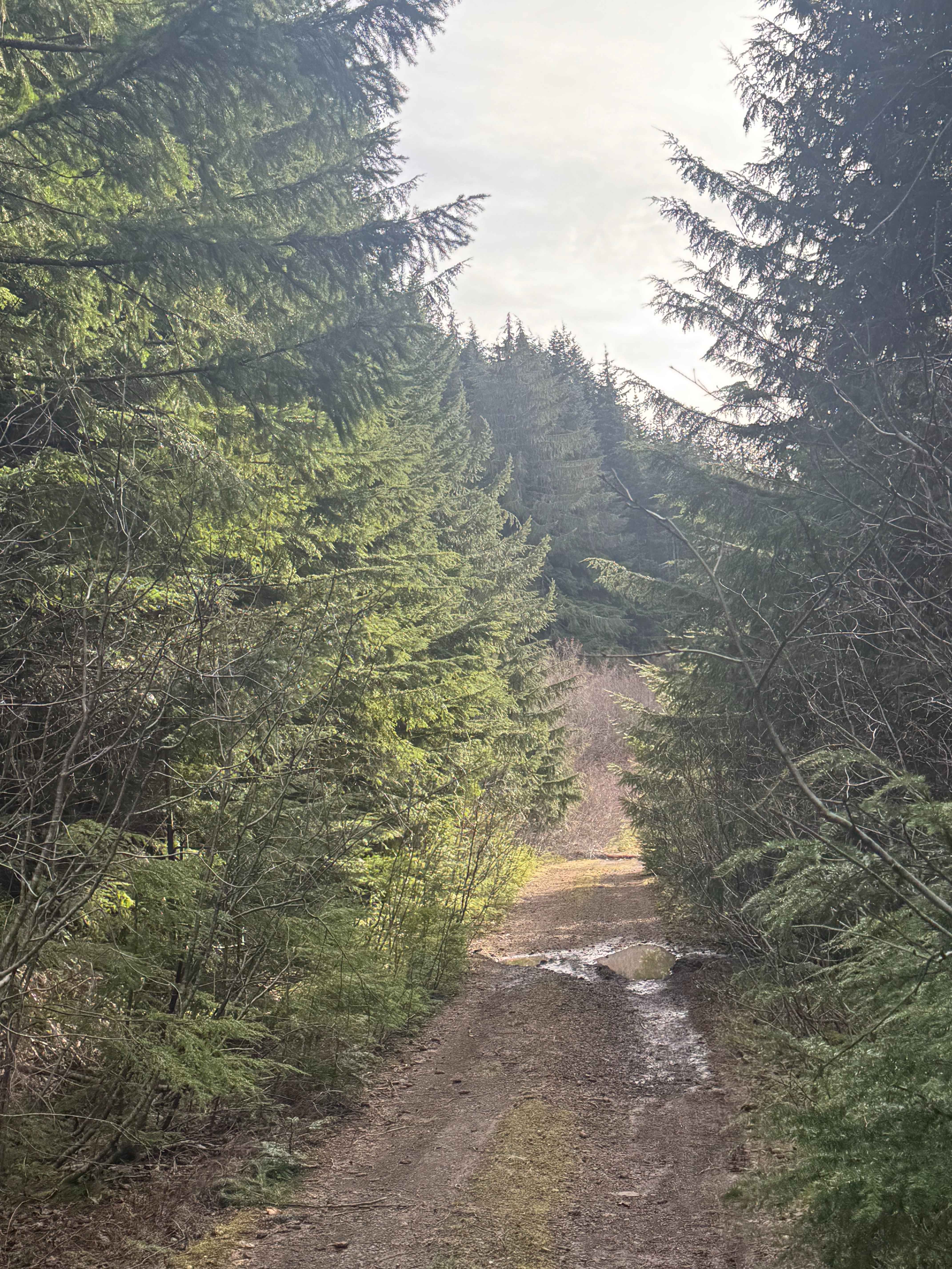
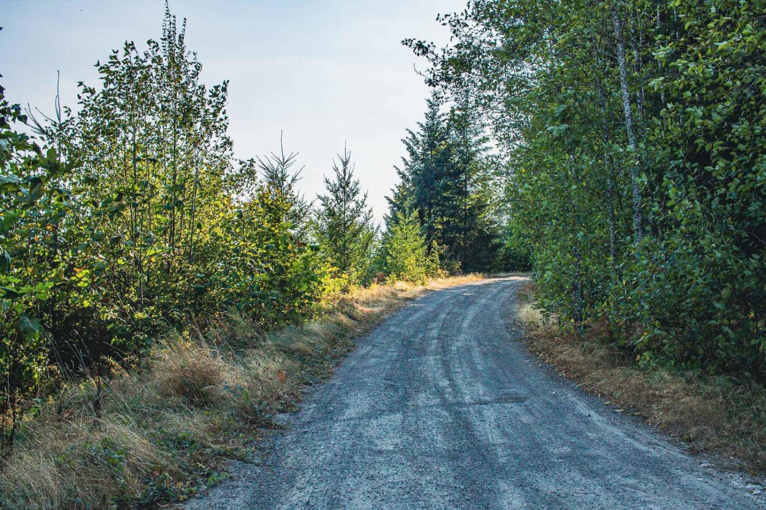
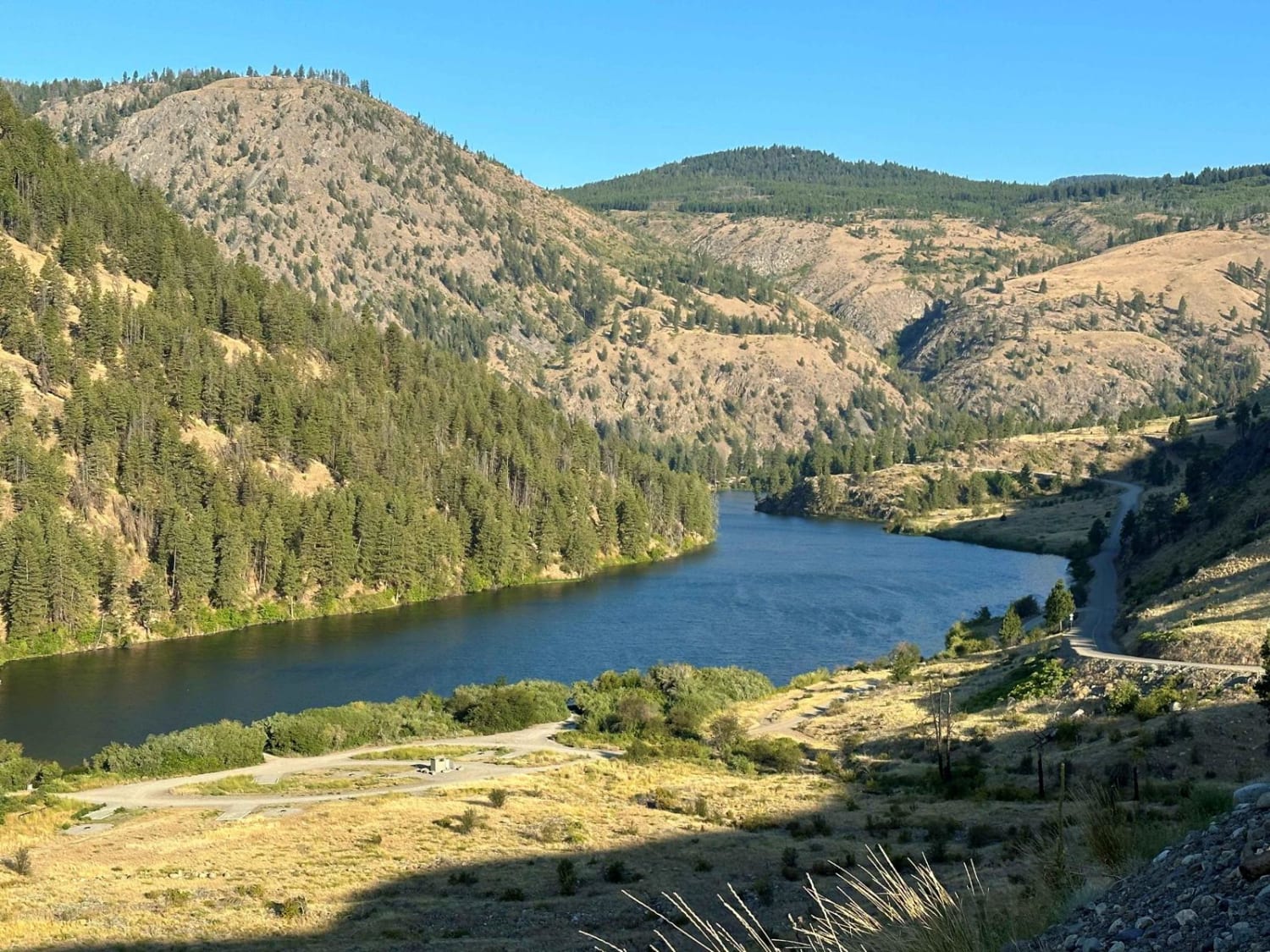
Trail Overview
This is a gravel-based forest road in the Colville National Forest. The road climbs gradually, gaining approximately 1,800 feet in elevation over more than 8 miles. There are minor ruts and washes along with washboard sections, so airing down your tires will make travel more pleasant. There are several switchbacks along the trail with some ledges, and you will have views of all the surrounding ridges and valleys. The trail travels through the forest and into an old burned section of the forest, so watch for blowdown. Camping is allowed along the entire trail, and there are many dispersed campsites with pre-existing fire rings. You are approximately 15 minutes from the City of Kettle Falls at the beginning of the trail, and that is the closest services and supplies. There are no amenities along the trail, so travel prepared, and the cell phone service was weak, but enough to send a message if needed.
Photos of Lane Creek - FS 2000-220
Difficulty
Gravel-based forest road with some switchbacks, washboard sections, and minor ruts/wash. Good views along the trail.
Status Reports
Lane Creek - FS 2000-220 can be accessed by the following ride types:
- High-Clearance 4x4
- SUV
- SxS (60")
- ATV (50")
- Dirt Bike
Lane Creek - FS 2000-220 Map
Popular Trails
Hillside Strangler
Wildcat Loop 2 - FS 7400
Loomis Forest Nine Mile
The onX Offroad Difference
onX Offroad combines trail photos, descriptions, difficulty ratings, width restrictions, seasonality, and more in a user-friendly interface. Available on all devices, with offline access and full compatibility with CarPlay and Android Auto. Discover what you’re missing today!