Donaldson Draw
Total Miles
5.3
Technical Rating
Best Time
Trail Type
Full-Width Road
Accessible By
Trail Overview
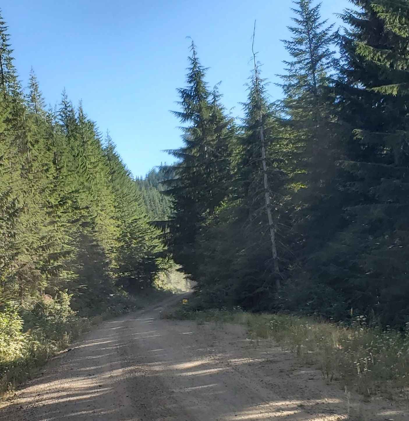
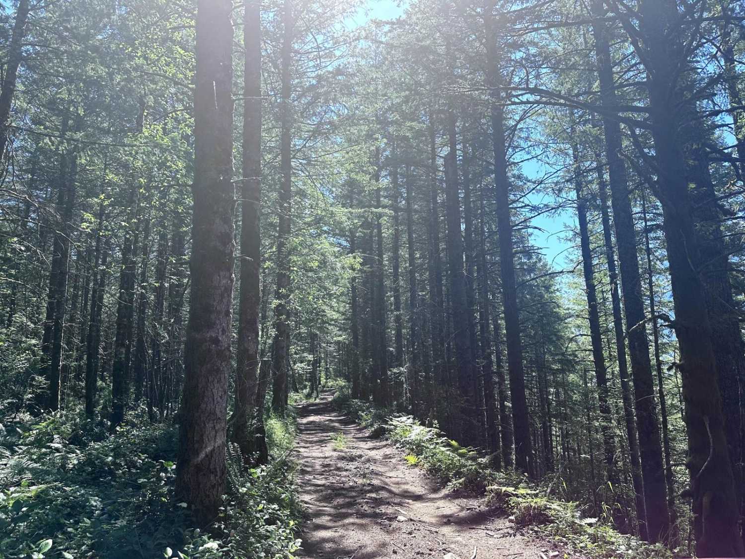
Gravel road, easy ride out to viewpoint. Road ends in a large open area where it circles around to return. 3 miles one-way, from the parking at the intersection with the South Huckleberry trails staging.
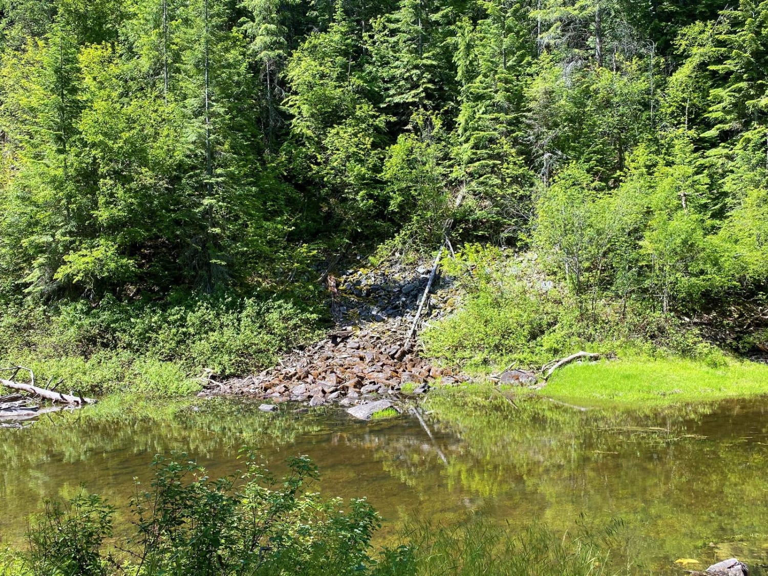
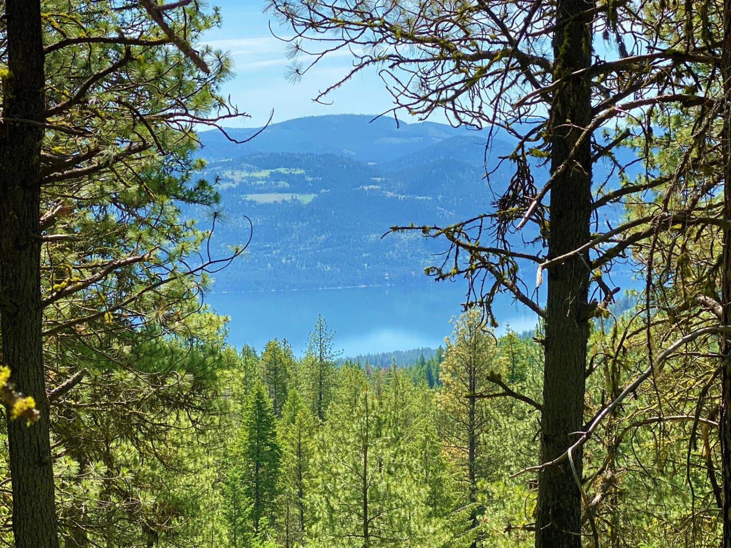
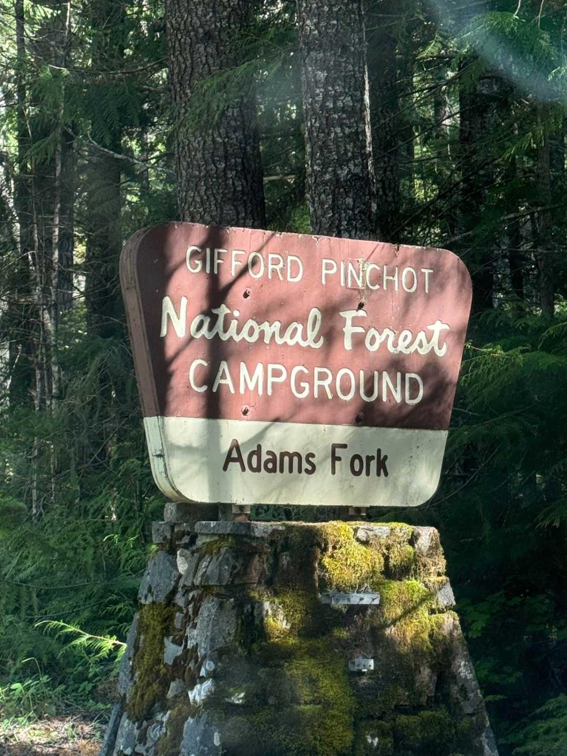
Photos of Donaldson Draw
Status Reports
There are no status reports yet for this trail.
Donaldson Draw can be accessed by the following ride types:
- High-Clearance 4x4
- SUV
- SxS (60")
- ATV (50")
- Dirt Bike
Donaldson Draw Map
Popular Trails

Doug's Loop
Total Miles
1.2
Tech Rating
Easy
Best Time
Sp / Su / Fa / Wi
Spring Creek Road
Total Miles
7.3
Tech Rating
Easy
Best Time
Sp / Su / Fa
The Great Overlook Adventure Path
Total Miles
4.8
Tech Rating
Easy
Best Time
Sp / Su / Fa
Wandering View
Total Miles
0.7
Tech Rating
Easy
Best Time
Sp / Su / Fa
The onX Offroad Difference
onX Offroad combines trail photos, descriptions, difficulty ratings, width restrictions, seasonality, and more in a user-friendly interface. Available on all devices, with offline access and full compatibility with CarPlay and Android Auto. Discover what you’re missing today!