Divide
Total Miles
5.3
Technical Rating
Best Time
Spring, Summer, Fall
Trail Type
Full-Width Road
Accessible By
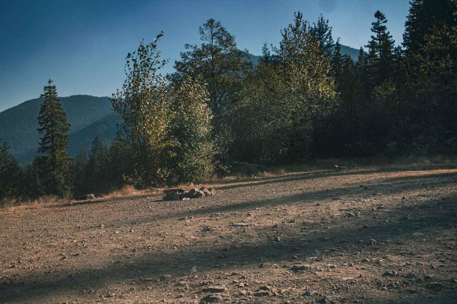
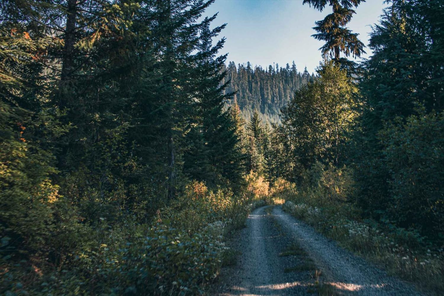
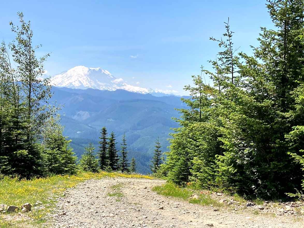
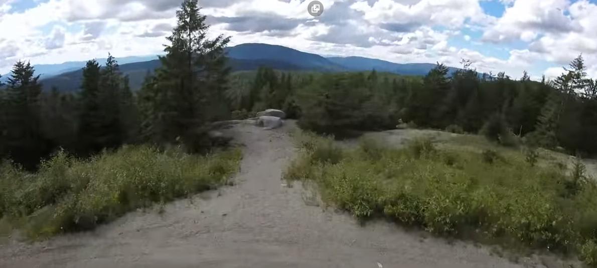
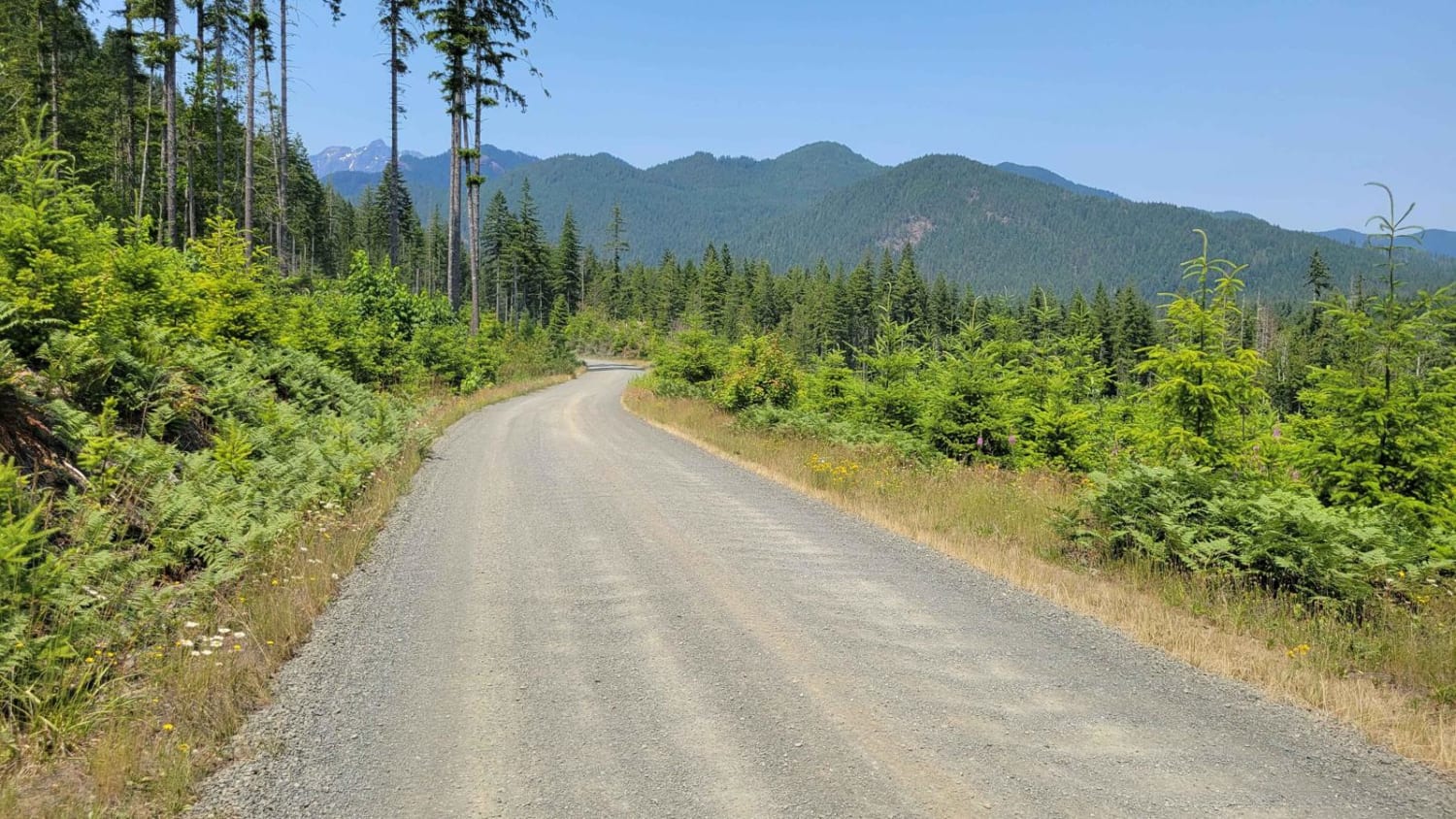
Trail Overview
The divide is a gravel and natural surface road that runs through the Gifford Pinchot National. It offers a couple of smaller camp spots most of them are right off the road, and one of them has a shooting pit. The road has a couple of smaller potholes and is not winter-maintained.
Photos of Divide
Difficulty
Not Winter maintained
Status Reports
Divide can be accessed by the following ride types:
- High-Clearance 4x4
- SUV
- SxS (60")
- ATV (50")
- Dirt Bike
Divide Map
Popular Trails

Little Brushy Road via Quilomene Ridge Road
Stampede Pass - Crystal Springs to Greenwater
The onX Offroad Difference
onX Offroad combines trail photos, descriptions, difficulty ratings, width restrictions, seasonality, and more in a user-friendly interface. Available on all devices, with offline access and full compatibility with CarPlay and Android Auto. Discover what you’re missing today!