LPO-Radar Dome
Total Miles
6.9
Technical Rating
Best Time
Trail Type
60" Trail
Accessible By
Trail Overview
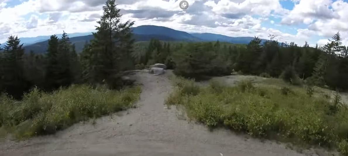
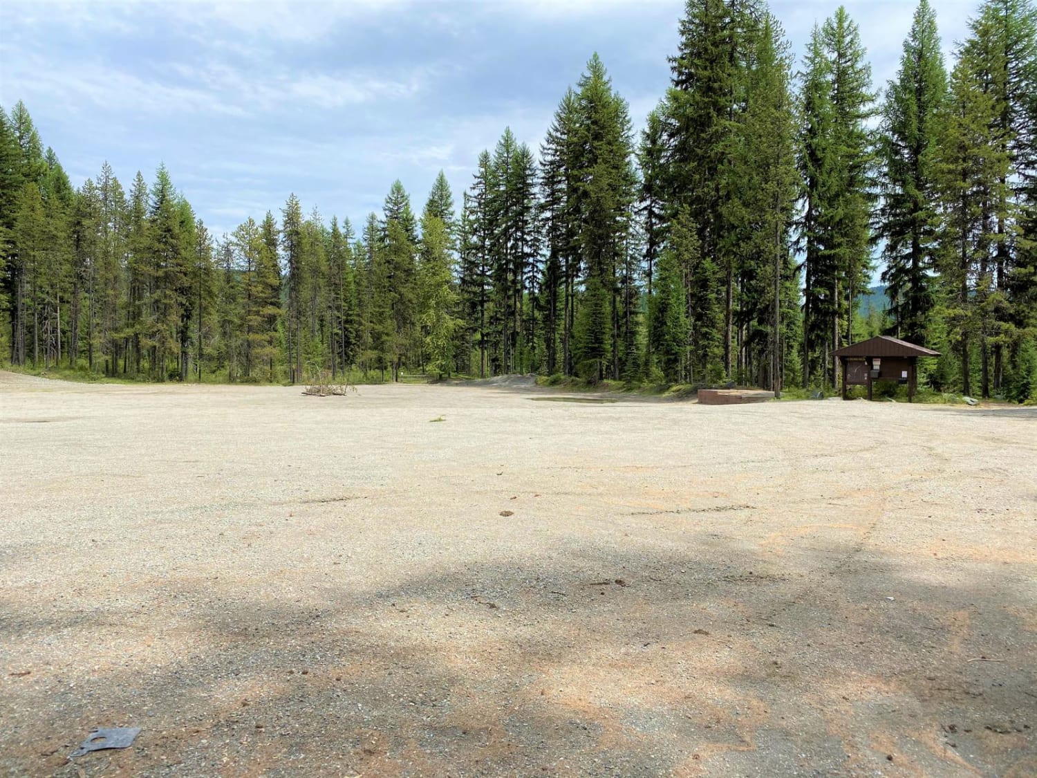
Fairly easy trail, though several whoops and steeper pitches will be encountered, as well as ruts and washed out areas to transit through. You will join a main road to the top of the old radar site. Old buildings remain at the site - be on the lookout for paint ball enthusiasts, as this is an active area for them. There is usually a lot of recreation traffic in this area, including motorcyles, bikes, as well as jeeps, cars, pickups, and hikers. Due to heavy motorized use, horse riders are a rare site.
Photos of LPO-Radar Dome
Status Reports
LPO-Radar Dome can be accessed by the following ride types:
- SxS (60")
- ATV (50")
- Dirt Bike
LPO-Radar Dome Map
Popular Trails
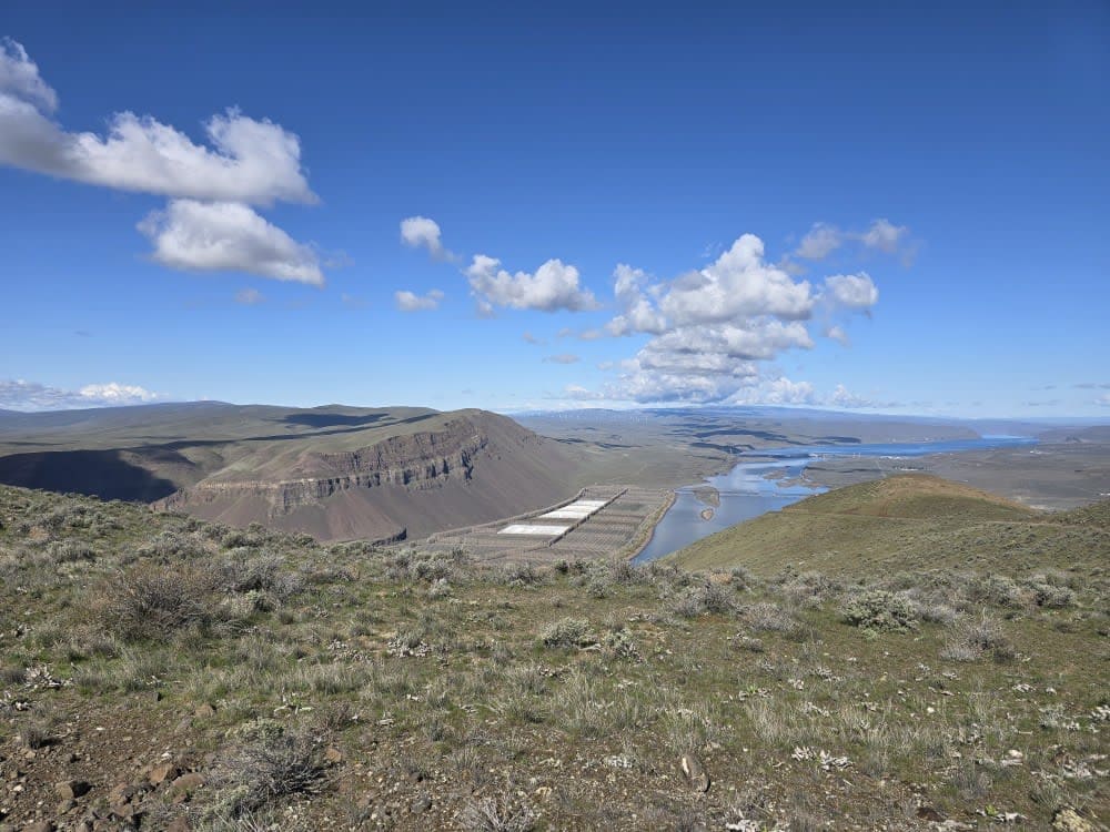
Saddle Mountain Northwest Trail

Tunnel Creek Trail
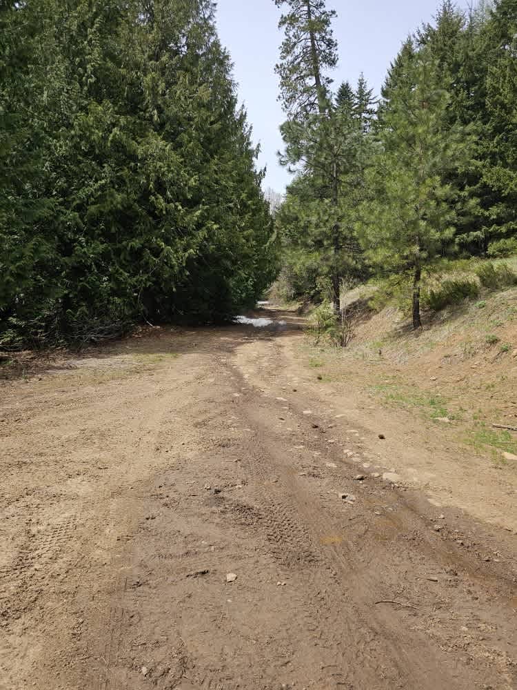
Lower South Cle Elum Ridge
The onX Offroad Difference
onX Offroad combines trail photos, descriptions, difficulty ratings, width restrictions, seasonality, and more in a user-friendly interface. Available on all devices, with offline access and full compatibility with CarPlay and Android Auto. Discover what you’re missing today!
