Rinker Ridge Road - Texas Pond
Total Miles
0.7
Technical Rating
Best Time
Spring, Summer, Fall
Trail Type
Full-Width Road
Accessible By
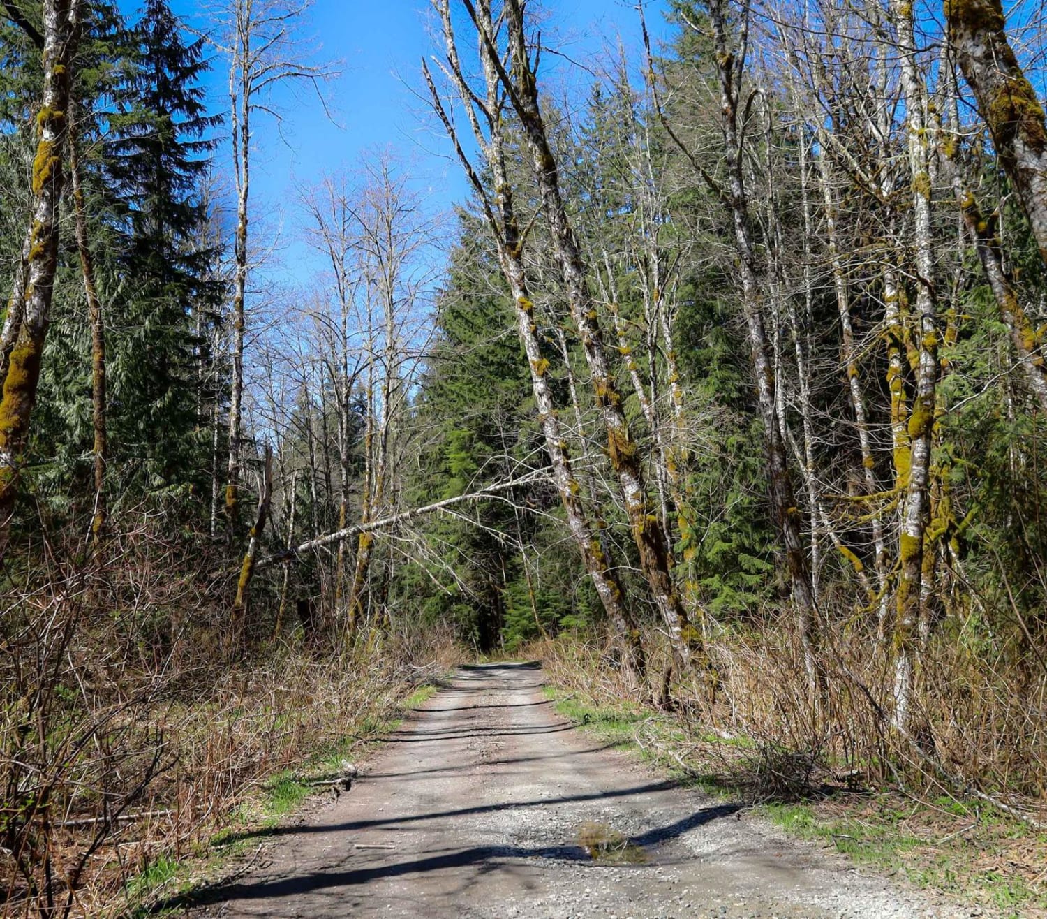
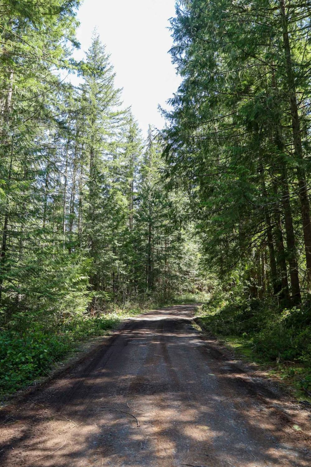
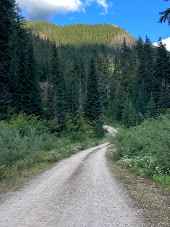
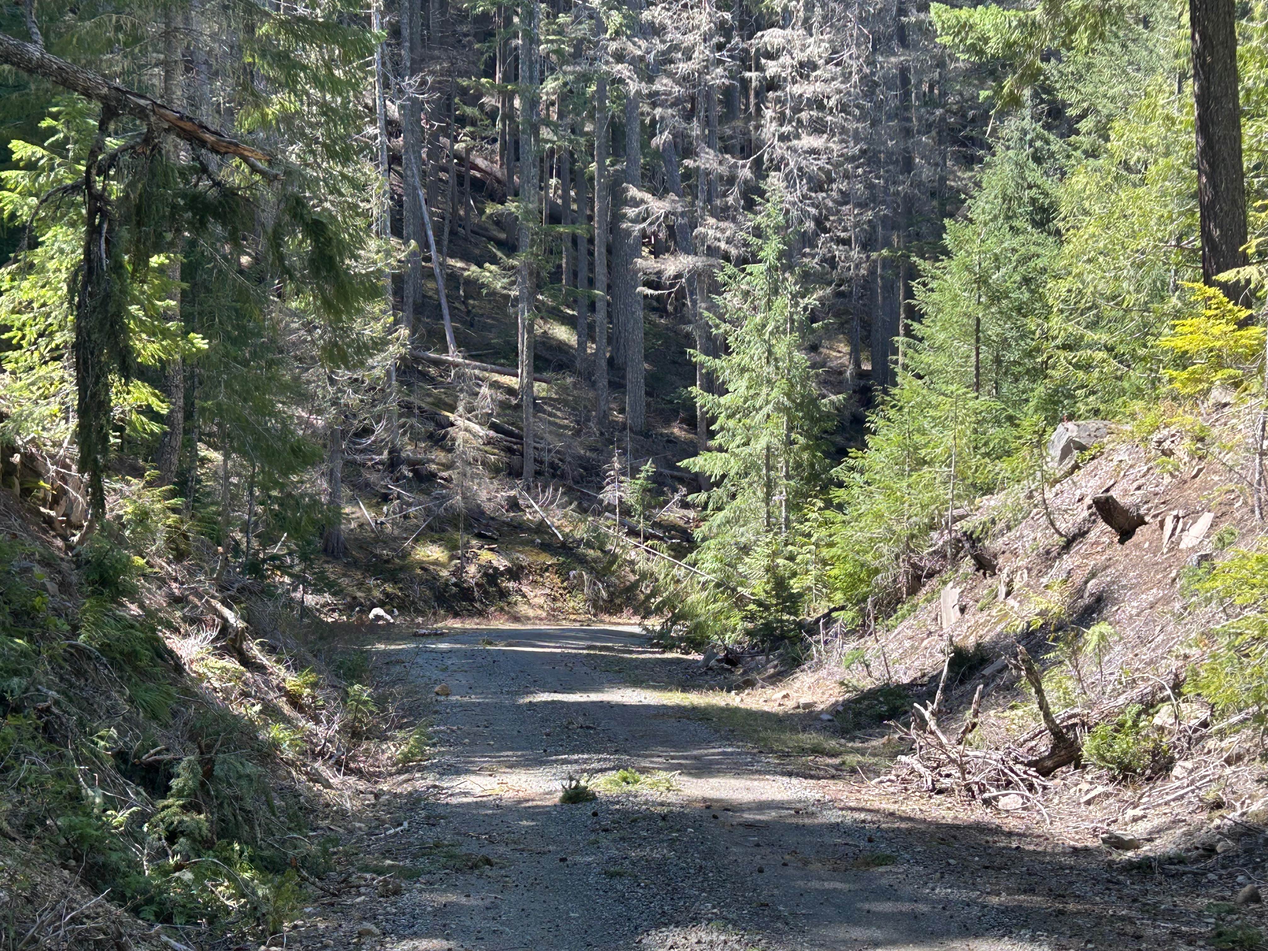
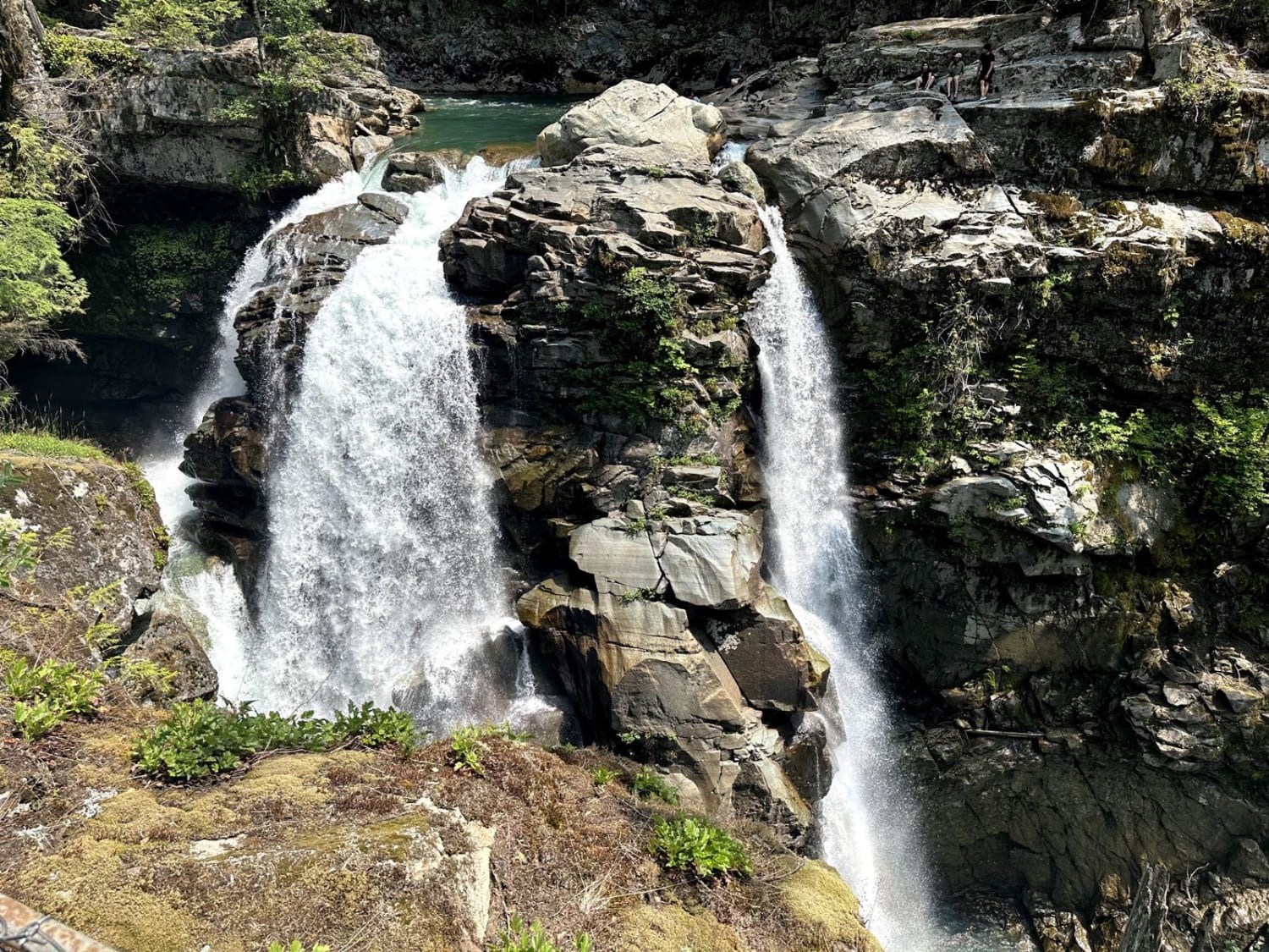
Trail Overview
This easy-going one-lane trail winds along the pond which is large like its namesake. There are a few potholes and mud puddles to navigate but nothing strenuous. You will cross a small bridge that has a campsite to its left that can accommodate up to 2-3 vehicles. To the right, there is a lovely little waterfall. Just past the bridge is another area with a picnic area that can accommodate a few vehicles. There is also a vault toilet available for use near the picnic area. You can continue on Rinker Ridge Road or this could be your dispersed camping destination.
Photos of Rinker Ridge Road - Texas Pond
Difficulty
There are a few potholes that can be jarring but nothing to serious.
Status Reports
Rinker Ridge Road - Texas Pond can be accessed by the following ride types:
- High-Clearance 4x4
- SUV
Rinker Ridge Road - Texas Pond Map
Popular Trails
Porcupine - FS 4930118
Saddle Mountains Racetrack
Well's Creek Road
The onX Offroad Difference
onX Offroad combines trail photos, descriptions, difficulty ratings, width restrictions, seasonality, and more in a user-friendly interface. Available on all devices, with offline access and full compatibility with CarPlay and Android Auto. Discover what you’re missing today!