Dawson Road
Total Miles
4.3
Technical Rating
Best Time
Spring, Summer, Fall, Winter
Trail Type
Full-Width Road
Accessible By
Trail Overview
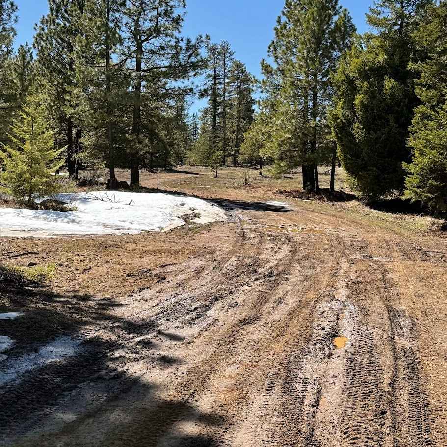
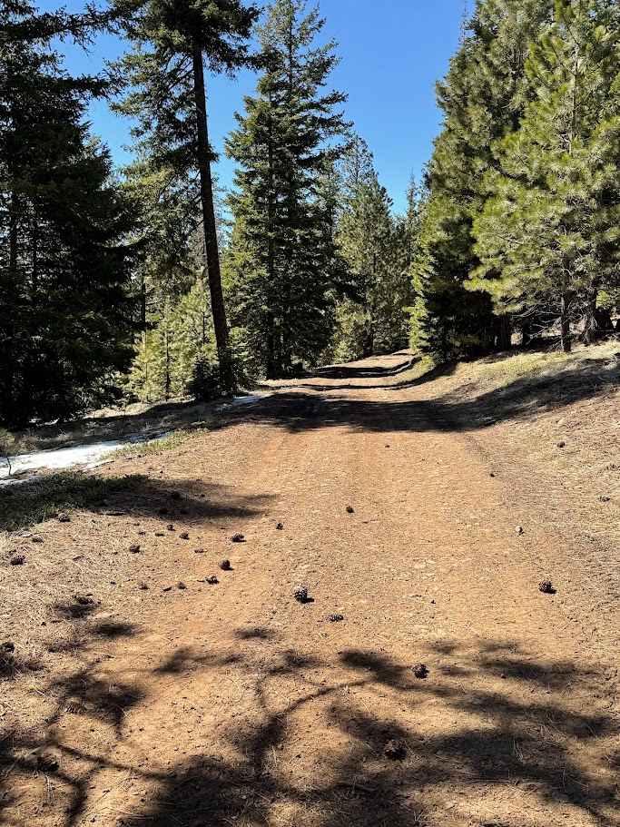
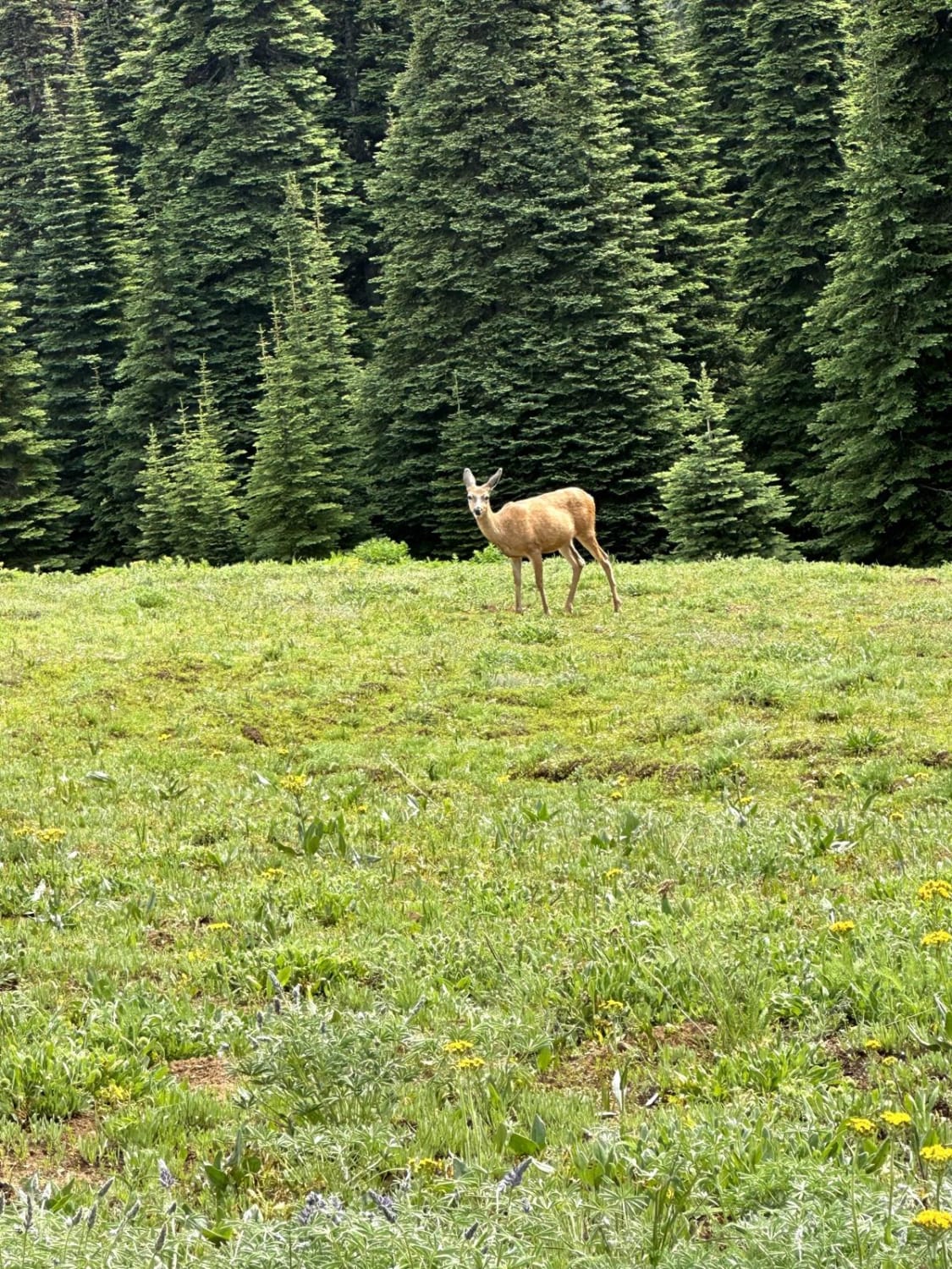
Dawson Road (also known as the Dawson Road Reroute) in Naneum Ridge State Forest offers a classic Central Washington off-road experience with a steady climb up to around 5,000 feet. The route is primarily gravel and dirt, with sections of loose rock and ruts that can become more pronounced as you gain elevation. In dry conditions, it's a fun, moderately challenging drive, but spring melt can turn parts of the trail muddy and slow-going, and winter often brings significant snow accumulation near the summit. As you climb, the forest begins to open up, revealing sweeping views of the surrounding ridgelines and valleys, especially on clear days. Along the way, there are plenty of opportunities to explore beyond the main route. Side roads and spur trails lead to dispersed camping spots, quiet hiking access points, and areas popular for hunting during the season. Wildlife is common here, with deer and elk frequently spotted in the early morning or evening. Whether you're looking to camp under the stars, take a short ridge-top hike, or simply enjoy a scenic off-road drive with panoramic views, Dawson Road is a versatile trail that showcases the rugged beauty of the Naneum Ridge area.
Photos of Dawson Road
Difficulty
This is an easy trail for high-clearance vehicles. During the wet season, some drainages may fill, and mud may be abundant.
Status Reports
Dawson Road can be accessed by the following ride types:
- High-Clearance 4x4
- SUV
- SxS (60")
- ATV (50")
- Dirt Bike
Dawson Road Map
Popular Trails

Mallardy Cr - NFSR 4030
Quartz Creek Road

Staging Access Trail
Overland Trail
The onX Offroad Difference
onX Offroad combines trail photos, descriptions, difficulty ratings, width restrictions, seasonality, and more in a user-friendly interface. Available on all devices, with offline access and full compatibility with CarPlay and Android Auto. Discover what you’re missing today!