Cabin Creek Road (NF-41)
Total Miles
10.2
Technical Rating
Best Time
Summer, Fall
Trail Type
Full-Width Road
Accessible By
Trail Overview
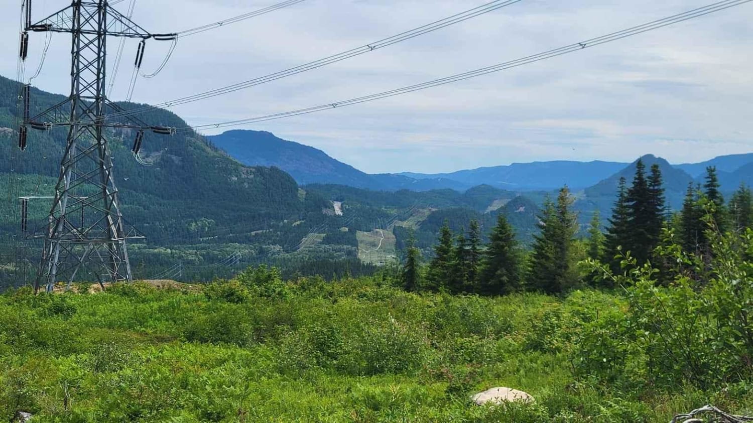
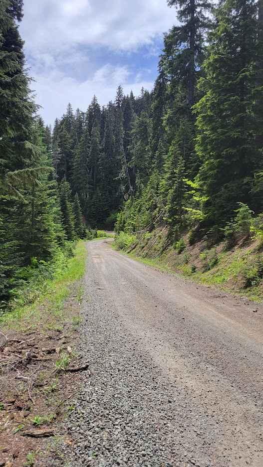
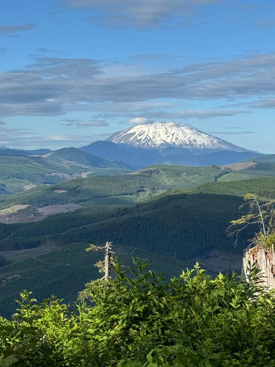
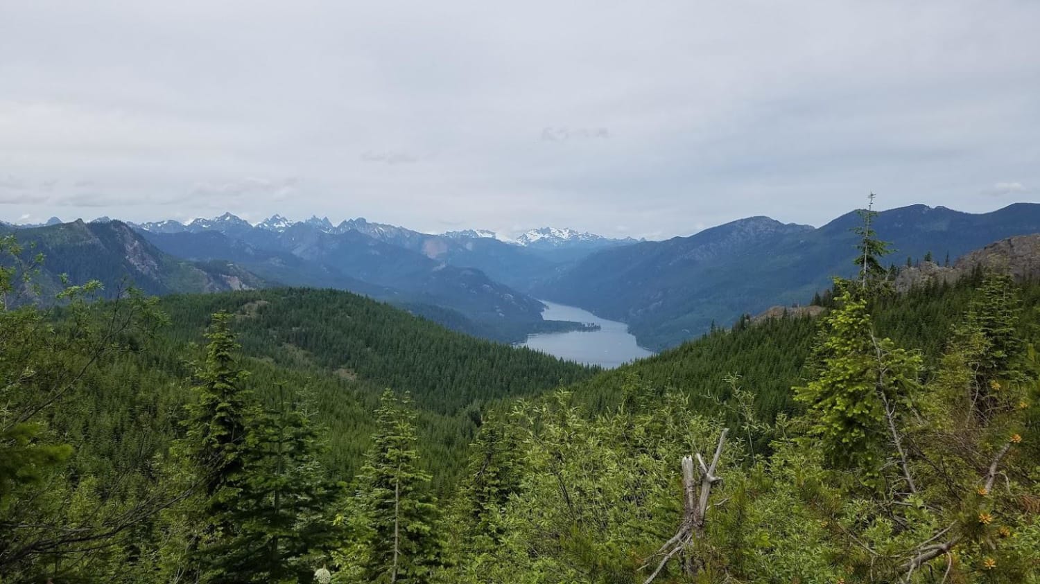
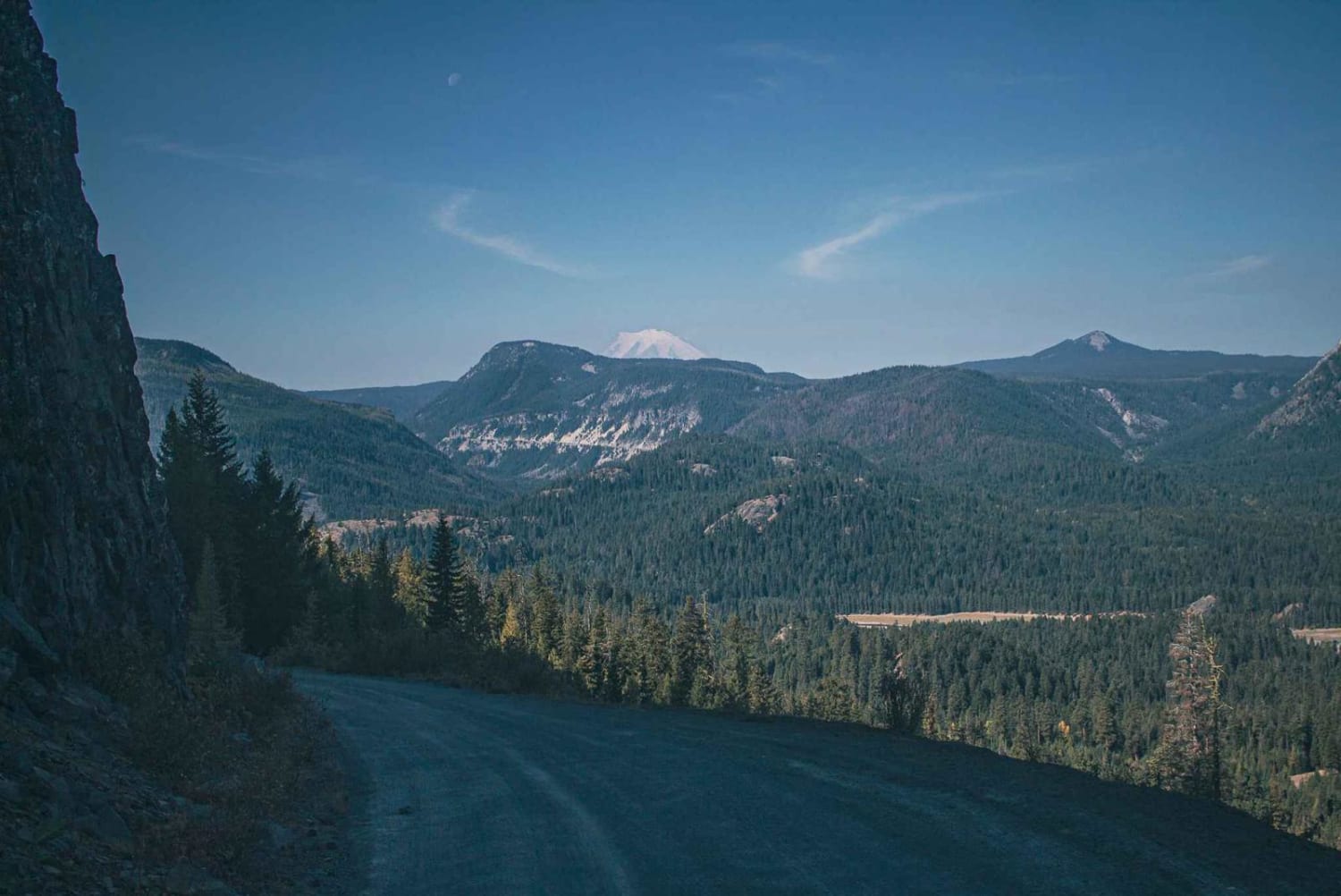
As you start on Cabin Creek Road, from the Stampede Pass side, you'll begin to ascend about 900 feet over 4.5 miles that will lead you along some beautiful views looking east over the mountains and hills. Be warned though, this part of the journey does ride close to some very steep drop offs and is mainly a 1 lane road (there are frequent turnout spots to allow for passing or just to stop and take in the view). Once you get pass this section, it's a smooth downhill into the mountains. Cell signal did drop once we started going downhill, so be sure to download some offline maps. If you stay on course, you will eventually meet up with Cabin Creek as you near the end of this trail. Cabin Creek Road does continue on, but there is a blockade shortly after the NF-4110 junction (see pictures). Depending on your vehicle, you may be able to get around.
Photos of Cabin Creek Road (NF-41)
Difficulty
There was an abundance of potholes throughout the trail. As well as some falling rock areas.
Status Reports
Cabin Creek Road (NF-41) can be accessed by the following ride types:
- High-Clearance 4x4
- SUV
- SxS (60")
- ATV (50")
- Dirt Bike
Cabin Creek Road (NF-41) Map
Popular Trails

Keechelus - FS 4948
Amabilis Mtn Summit
The onX Offroad Difference
onX Offroad combines trail photos, descriptions, difficulty ratings, width restrictions, seasonality, and more in a user-friendly interface. Available on all devices, with offline access and full compatibility with CarPlay and Android Auto. Discover what you’re missing today!