Boundary Trail - 1
Total Miles
32.7
Technical Rating
Best Time
Trail Type
Single Track
Accessible By

Trail Overview
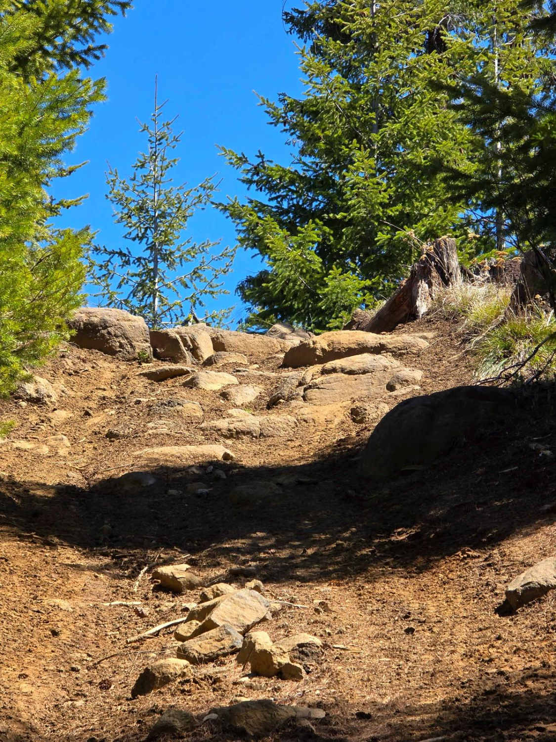
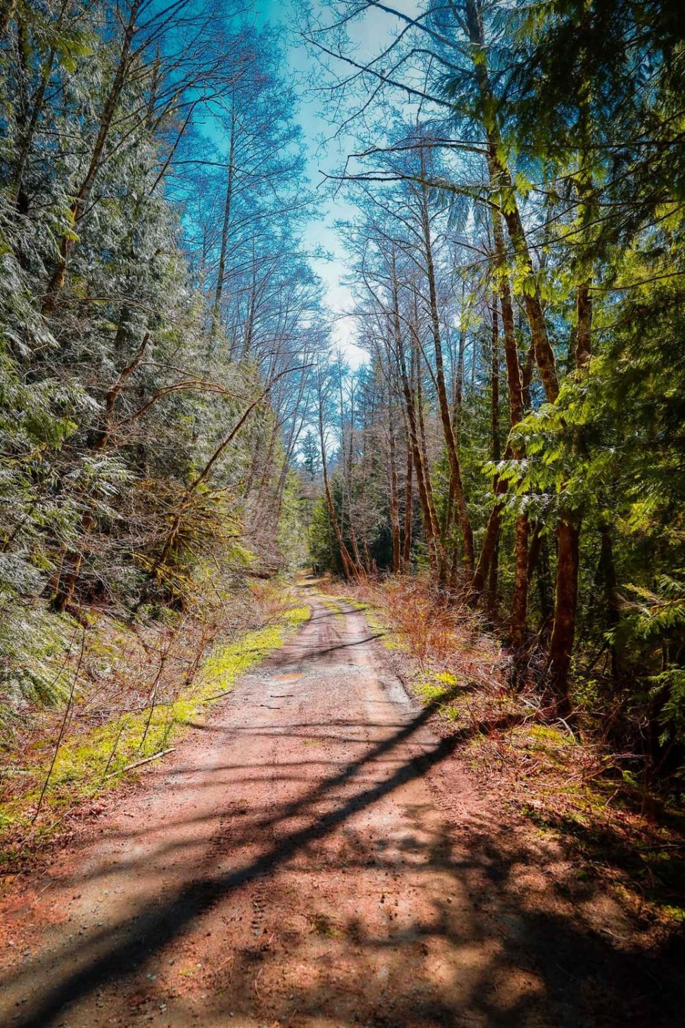
Boundary Trail #1 from Bear Meadow east to Council Lake is a high-elevation, motorcycle-legal singletrack suited for experienced riders looking for sustained ridgeline exposure and technical terrain in Gifford Pinchot National Forest. Open to hikers, horses, motorcycles, and bicycles from Bear Meadow east--with no ATV, SxS, or full-size 4x4 access, and hiker-only travel west of Bear Meadow--this segment is part of the 53.7-mile Boundary Trail system with multiple access points and junctions. Originally established by 1911 and once used as a primary horseback patrol route for early Forest Service rangers, the trail formerly marked the boundary between the Columbia and Rainier National Forests and now defines the southern edge of the Cowlitz Valley Ranger District. The route holds above 4,000 feet along the divide between the Lewis and Cispus River watersheds, connecting Bear Meadow, Elk Pass, Yellowjacket #1A, and Council Lake on narrow bench-cut tread that shifts between firm soil, loose pumice near Badger Lake, and embedded rock. Steep grades and tighter rock features east of Shark Rock push the difficulty into the moderate-to-difficult range and require confident throttle control and comfort with exposure. The first 4.5 miles from Bear Meadow to Elk Pass follow a broad, timbered ridge with intermittent views of Mount St. Helens, Mount Rainier, Mount Adams, and distant glimpses of Mount Hood, expanding near Kirk Rock, Hat Rock, Shark Rock, and the Craggy Peak area. Repeated Ice Age glaciation carved the surrounding knifelike ridges and cirque basins that define the terrain and contribute to the rolling elevation profile. Riders should expect steady climbing and descending, frequent wind exposure, and rapidly changing mountain weather; snow often lingers into late spring at these elevations and can delay access until early summer, with early storms returning in fall. The trail remains remote with limited bailout options and no services, so fuel range, mechanical readiness, and checking current Motor Vehicle Use Map designations are essential before committing to this high-country ride that ends at Council Lake.
Status Reports
Boundary Trail - 1 can be accessed by the following ride types:
- Dirt Bike
Boundary Trail - 1 Map
Popular Trails

Upper Mill Creek Road
Divide Trail 4W311
Texas Pond Road

Deer Camp to Little Chumstick
The onX Offroad Difference
onX Offroad combines trail photos, descriptions, difficulty ratings, width restrictions, seasonality, and more in a user-friendly interface. Available on all devices, with offline access and full compatibility with CarPlay and Android Auto. Discover what you’re missing today!