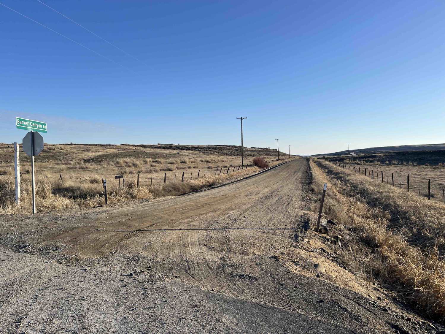
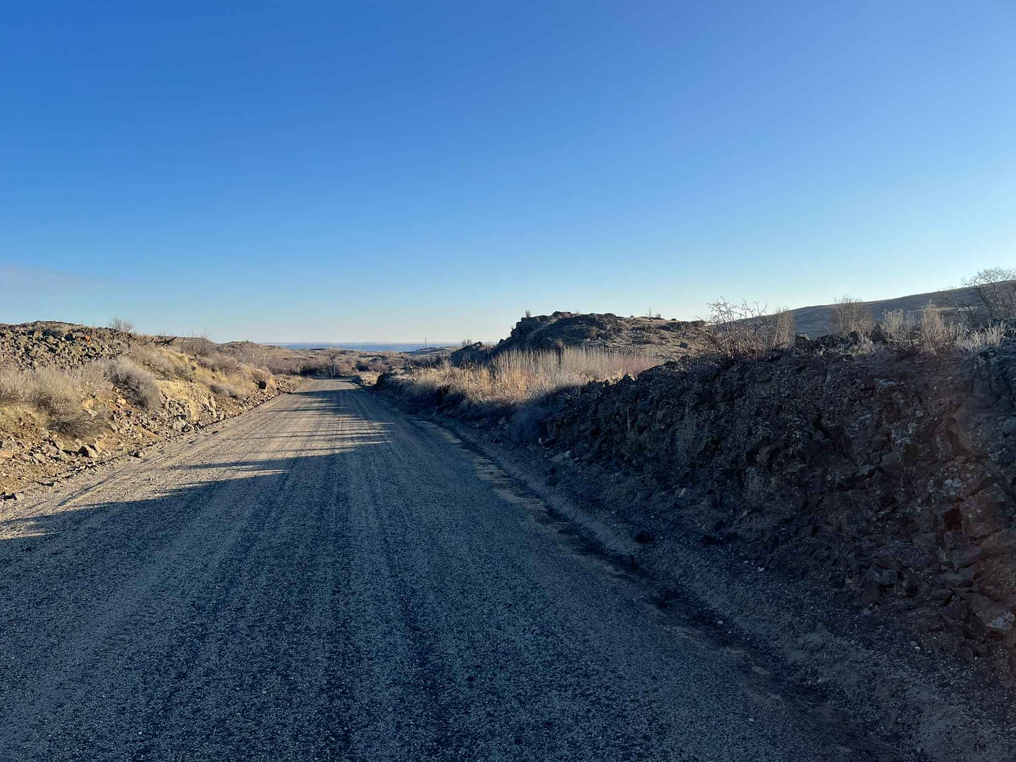
Barker Canyon Road
Total Miles
6.0
Technical Rating
Best Time
Spring, Summer, Fall, Winter
Trail Type
Full-Width Road
Accessible By
Trail Overview
Barker Canyon Road is a 6-mile point-to-point route beginning at its junction with Washington Route 174 and descending through Barker Canyon to Banks Lake. The first 5.5 miles of the road traverse private property. Please remain on the designated route and respect all posted signage. The trail ends at a large gravel parking area featuring a boat ramp and a vault toilet. A Washington State Discover Pass is required for access to Barker Canyon Road. The road surface is wide and smooth with occasional steep grades and washboarding. Short segments of the road are cut into the canyon wall as a shelf road. Barker Canyon Road is accessible year-round.
Photos of Barker Canyon Road
Difficulty
Barker Canyon Road is a wide gravel road for its entire length, safe for most vehicles. The only potentially difficult features are some short, steep sections, washerboarding, and shelf sections. Trail difficulty may increase with rain and snow. Keep an eye out for deer, coyotes, pronghorn antelopes, and Northern-Pacific rattlesnakes (venomous).
Barker Canyon Road can be accessed by the following ride types:
- High-Clearance 4x4
- SUV
- SxS (60")
- ATV (50")
- Dirt Bike
Barker Canyon Road Map
Popular Trails
Finney-Cumberland Road
Poch Ridge Trail
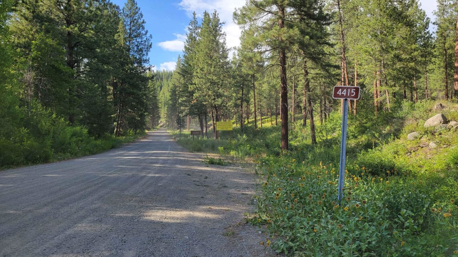
FR 4415 - Little Bridge Creek
Olympic National Forest Service Road 30
The onX Offroad Difference
onX Offroad combines trail photos, descriptions, difficulty ratings, width restrictions, seasonality, and more in a user-friendly interface. Available on all devices, with offline access and full compatibility with CarPlay and Android Auto. Discover what you’re missing today!