5600 to 5605
Total Miles
4.3
Technical Rating
Best Time
Spring, Summer, Fall
Trail Type
Full-Width Road
Accessible By
Trail Overview
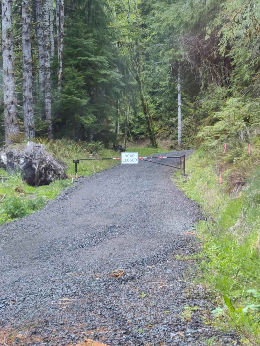
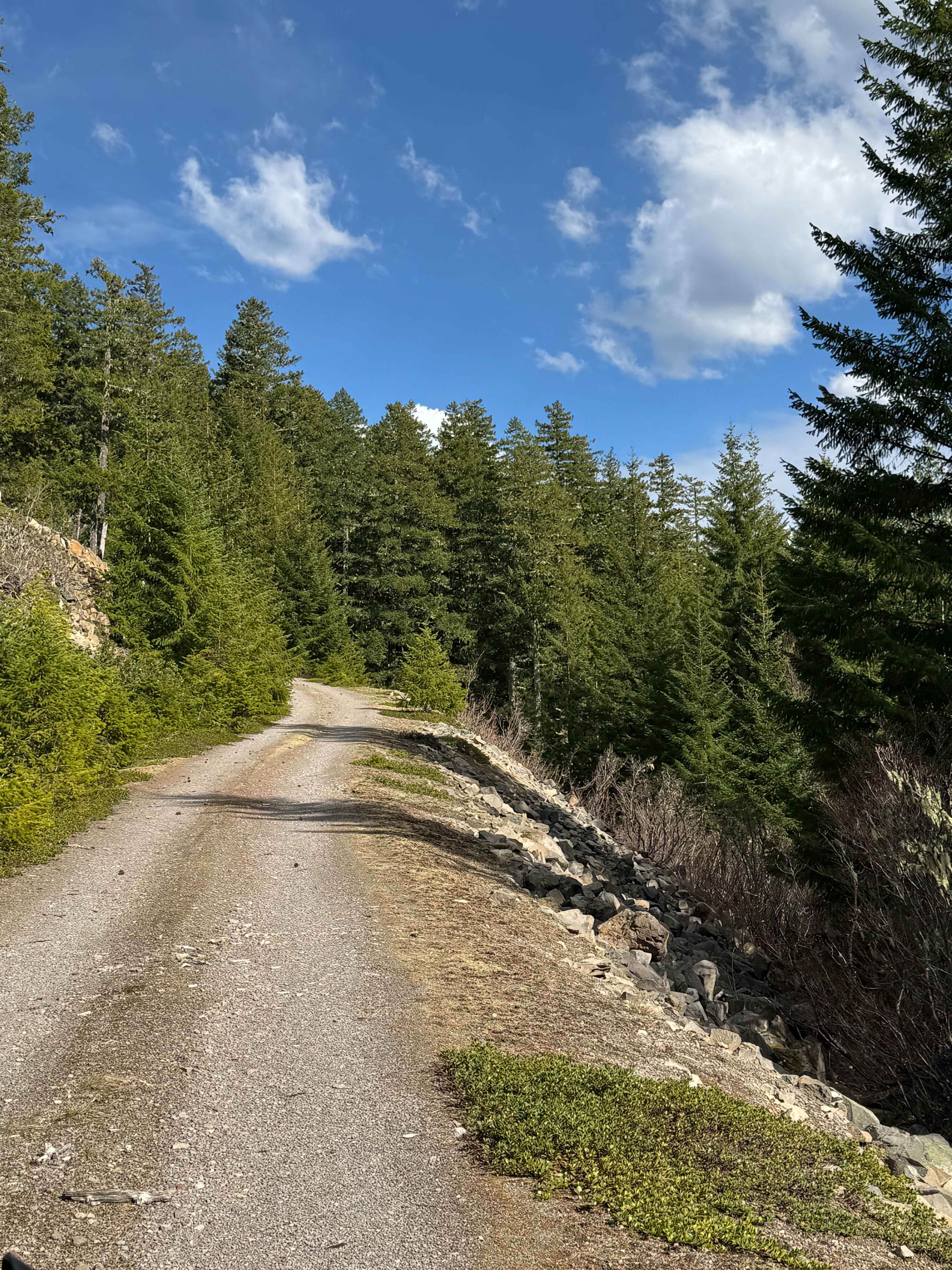
This trail runs north and south off of 4250, in the public land operated by the Washington State Department of Natural Resources, and meanders through clear-cut areas and dense forest. It is primarily a grated road, but has some steeper inclines and declines, up to 12 degrees. You can use this trail to get from 4250 to the South Fork of the Toutle River but requires a short hike from the south end of the trail to get to the river.
Photos of 5600 to 5605


Difficulty
This is an easy-going grated road but has steeper sections to be aware of.
Status Reports
5600 to 5605 can be accessed by the following ride types:
- High-Clearance 4x4
- SUV
5600 to 5605 Map
Popular Trails
Sitkum Soleduck

Moonlight Canyon

Mainline Easy
Cort Road- FS 1276
The onX Offroad Difference
onX Offroad combines trail photos, descriptions, difficulty ratings, width restrictions, seasonality, and more in a user-friendly interface. Available on all devices, with offline access and full compatibility with CarPlay and Android Auto. Discover what you’re missing today!