St. Mary's
Total Miles
1.5
Technical Rating
Best Time
Spring, Summer, Fall, Winter
Trail Type
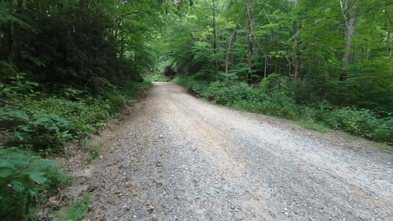
Full-Width Road
Accessible By
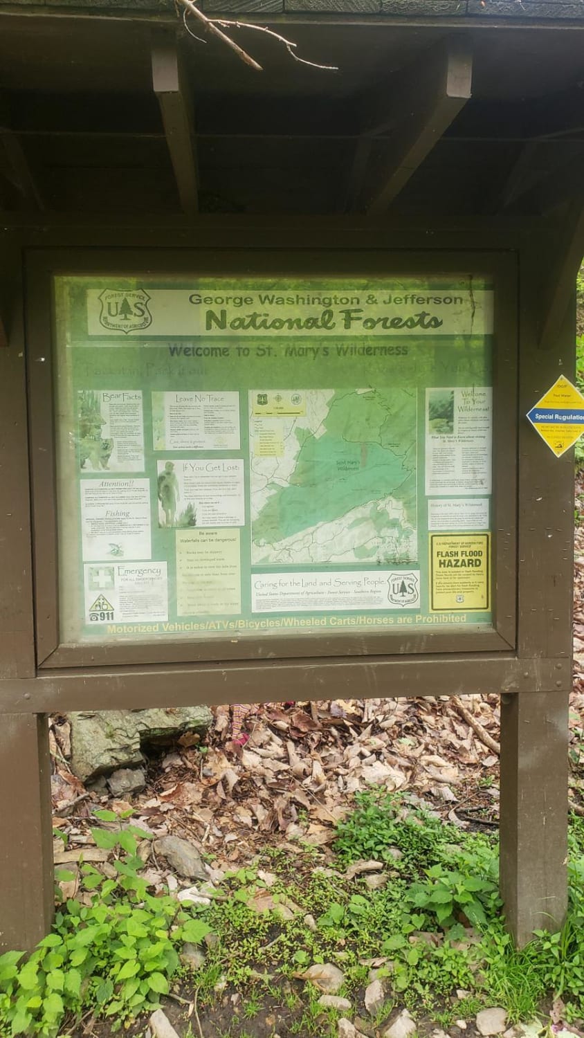
Trail Overview
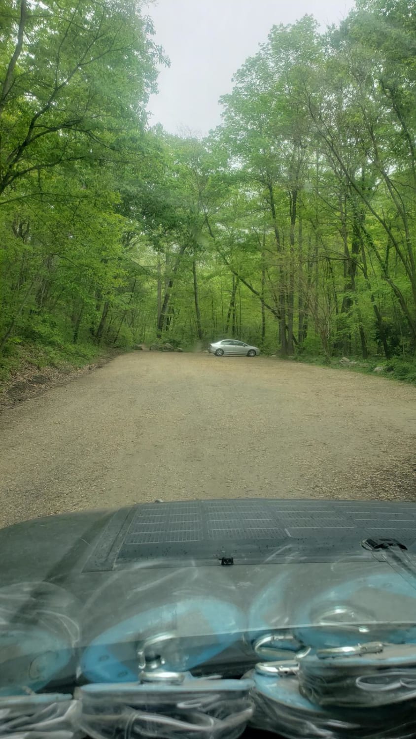
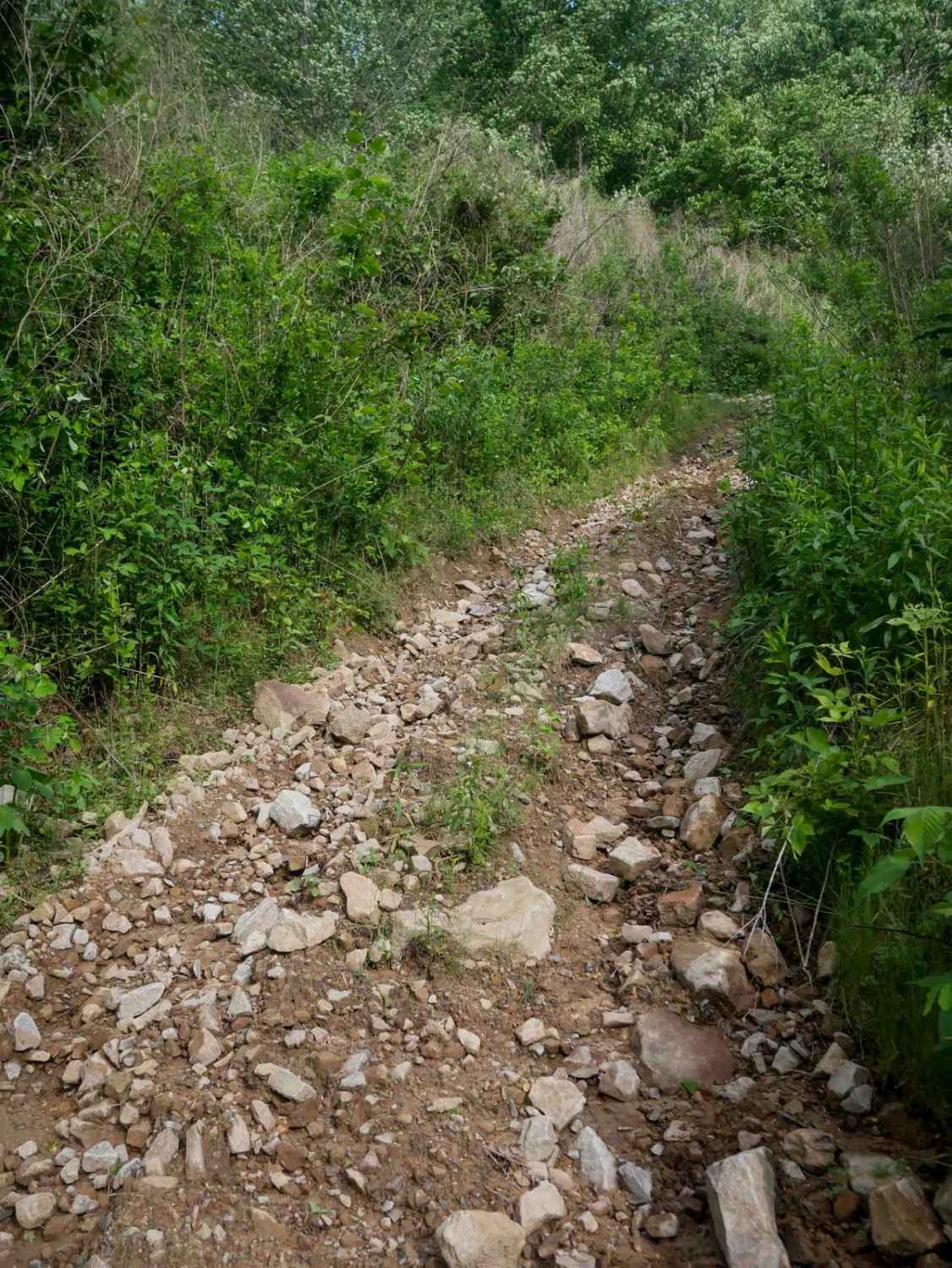
St. Mary's Road is a trail leading to the parking area for the St. Mary's Wilderness area. It is a short gravel forest road with little to no cell service and a large trailhead parking lot at the end. One vehicle-accessible campsite is located just before the parking lot along the creek, and another walk-in site is near the main parking lot. The falls are a short hike from the parking area.
Photos of St. Mary's
Difficulty
This is a maintained gravel forest road.
History
St. Mary's Wilderness area was mined, and some equipment and structures are still there to explore.
Status Reports
St. Mary's can be accessed by the following ride types:
- High-Clearance 4x4
- SUV
St. Mary's Map
Popular Trails
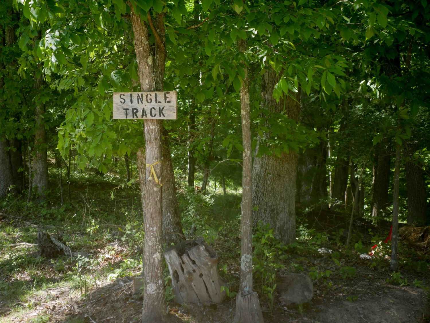
Single Track 1

The onX Offroad Difference
onX Offroad combines trail photos, descriptions, difficulty ratings, width restrictions, seasonality, and more in a user-friendly interface. Available on all devices, with offline access and full compatibility with CarPlay and Android Auto. Discover what you’re missing today!