Shaws Fork
Total Miles
5.4
Technical Rating
Best Time
Summer, Fall
Trail Type
Full-Width Road
Accessible By
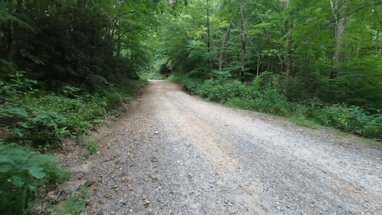
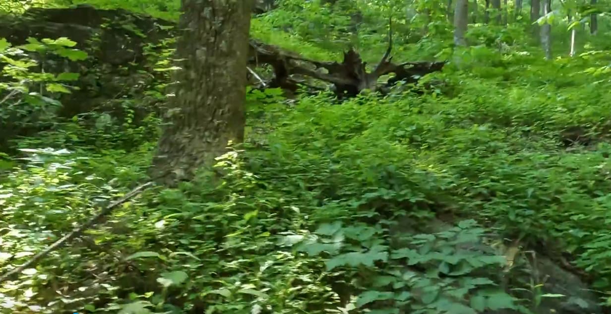
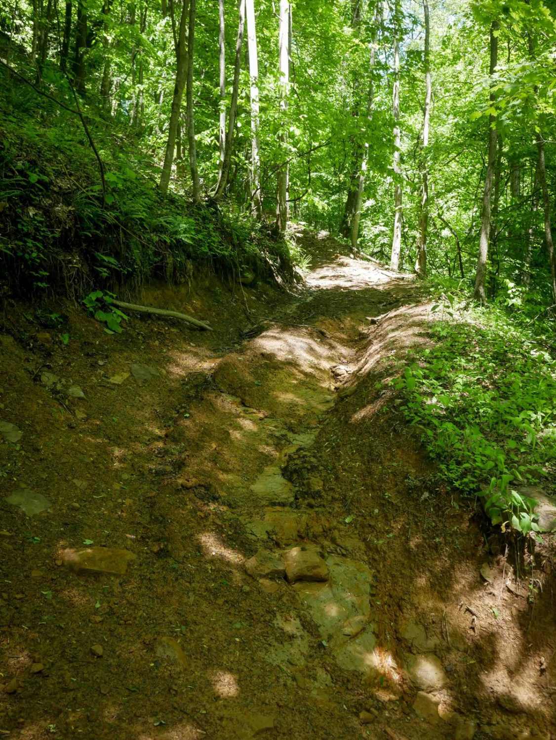
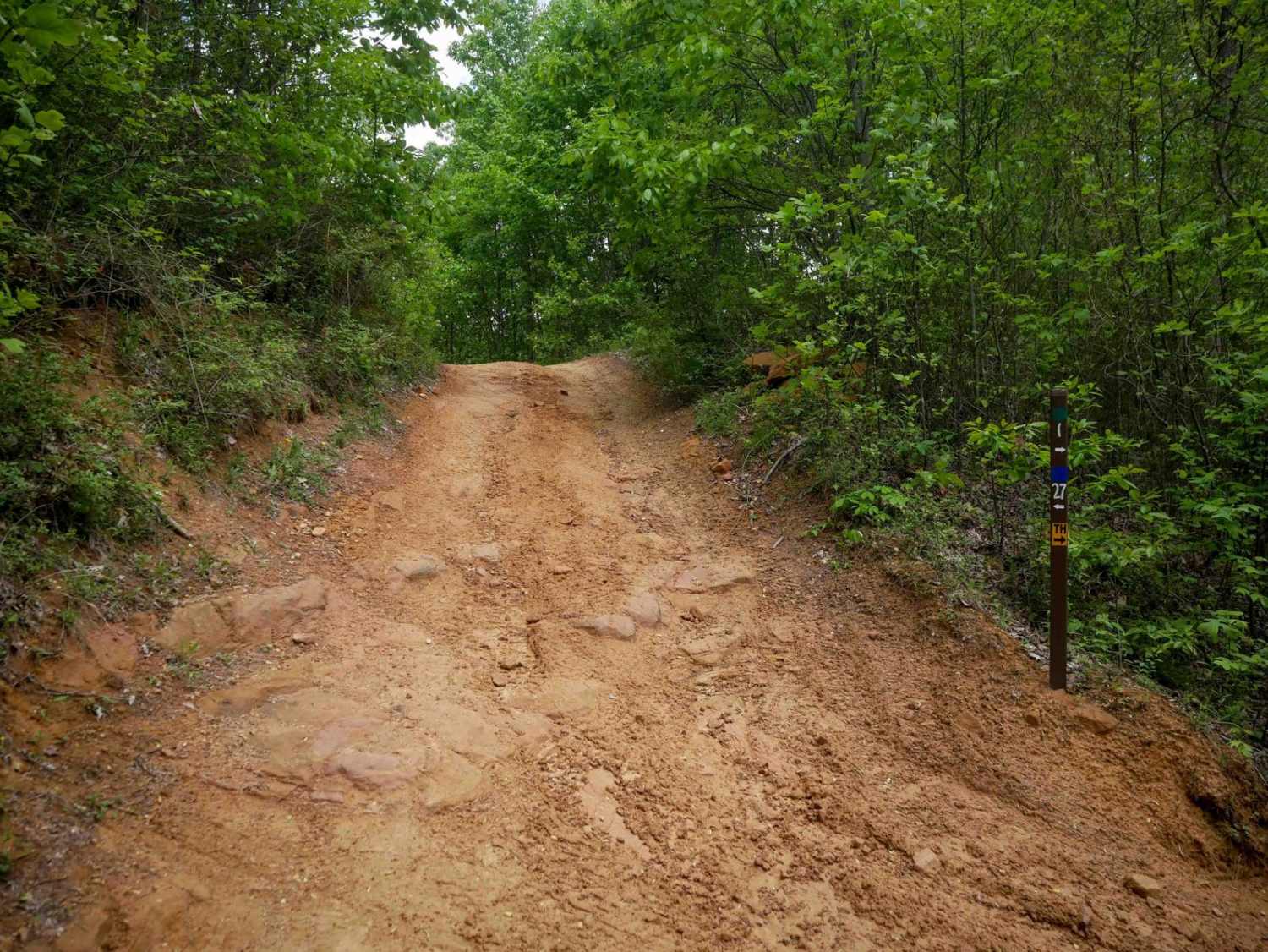
Trail Overview
Shaws Fork is an in-and-out trail located in the George Washington National Forest near the popular Flagpole Knob Trail. The trail primarily consists of a gravel road with many switchbacks. The trail begins at County Road 32, near FR 95/Reddish Knob Trail. The trail proceeds southwesterly, along FR 64, and eventually meets up with the Sinclair Hollow hiking trail.
Photos of Shaws Fork
Difficulty
Shaws Fork is a fairly basic trail that most should be able to complete in 2WD during normal weather conditions.
Shaws Fork can be accessed by the following ride types:
- High-Clearance 4x4
- SUV
Shaws Fork Map
Popular Trails


Government Road - FS 43
The onX Offroad Difference
onX Offroad combines trail photos, descriptions, difficulty ratings, width restrictions, seasonality, and more in a user-friendly interface. Available on all devices, with offline access and full compatibility with CarPlay and Android Auto. Discover what you’re missing today!