Pine Mountain
Total Miles
4.0
Technical Rating
Best Time
Fall
Trail Type
Full-Width Road
Accessible By
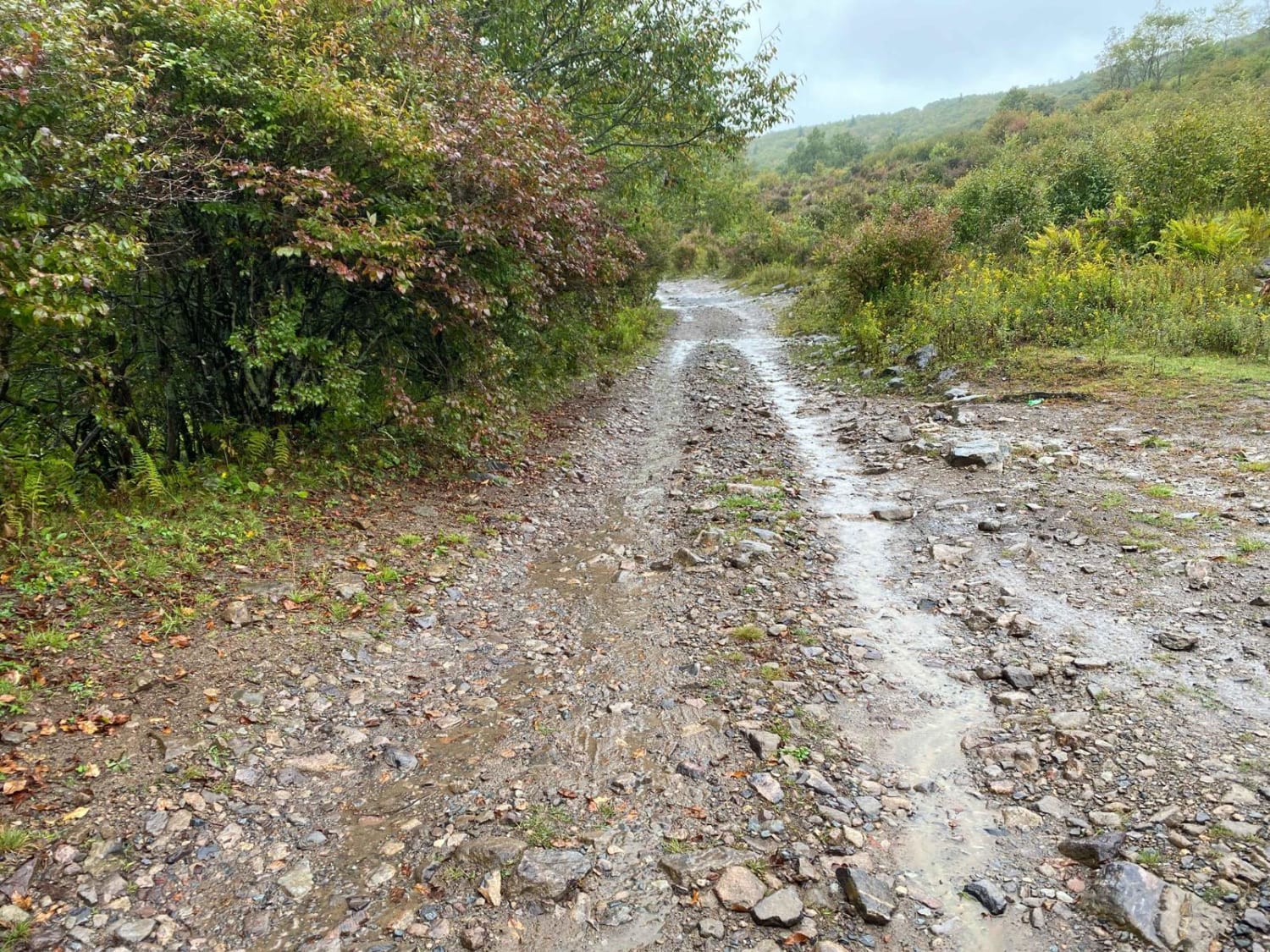
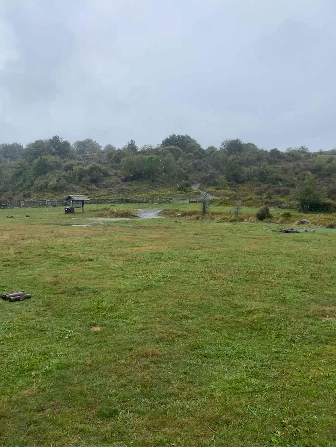
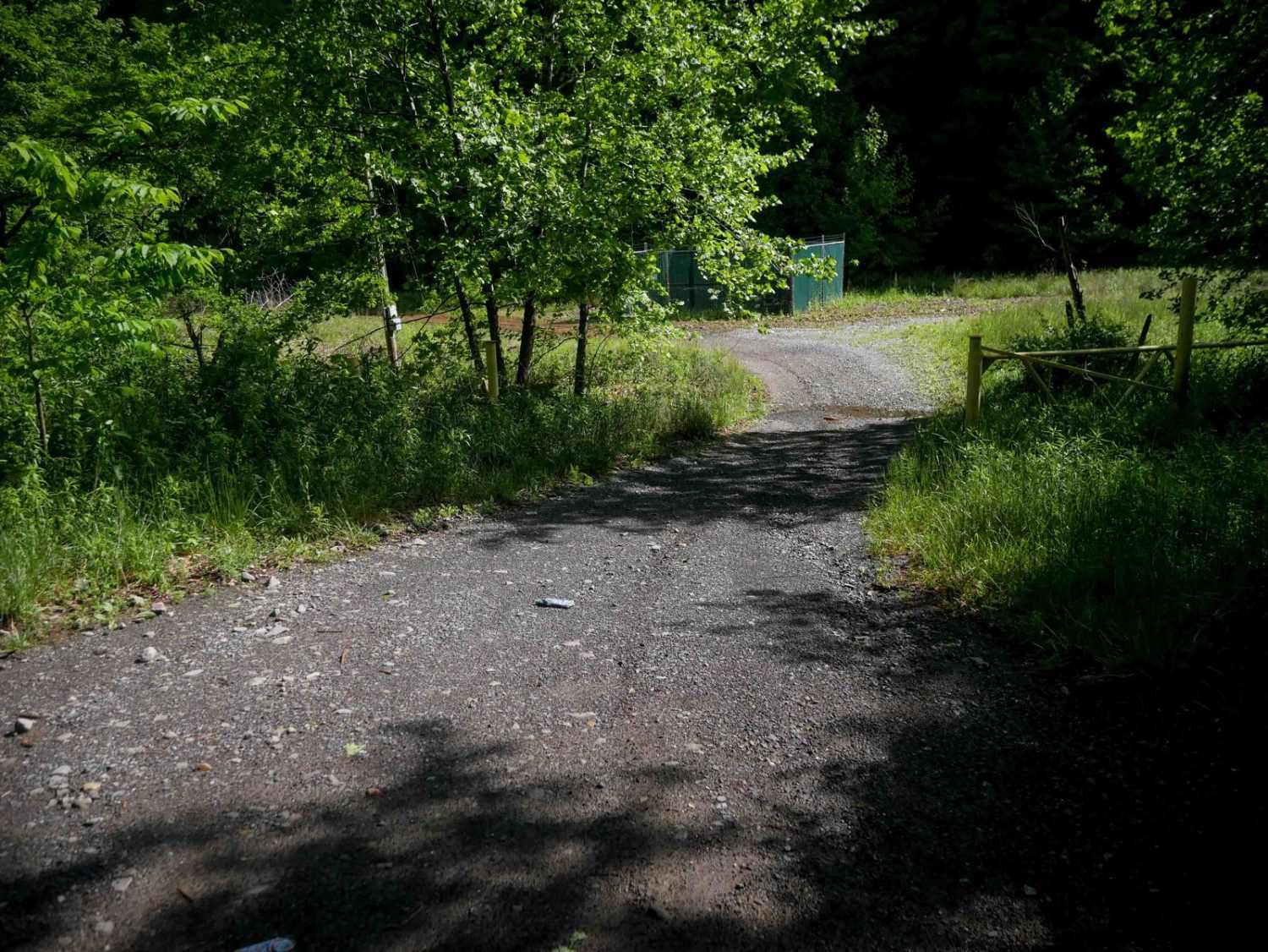
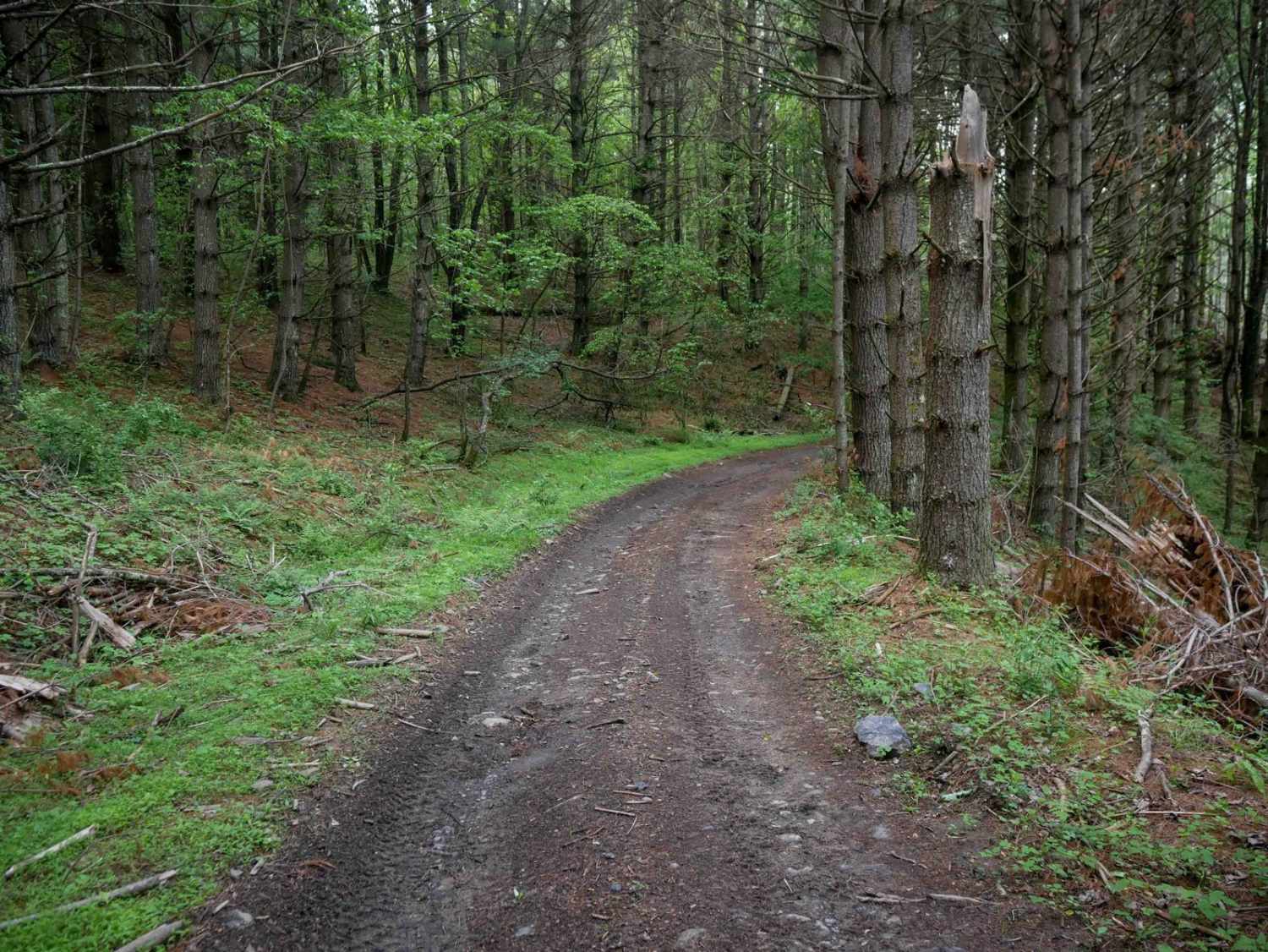
Trail Overview
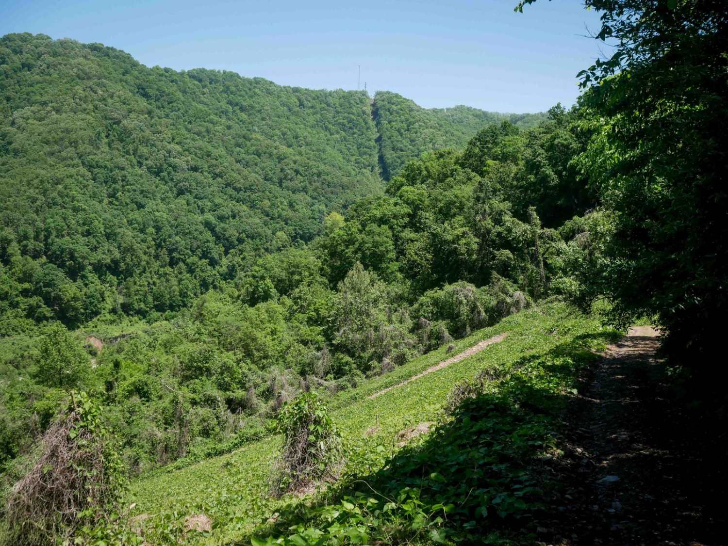
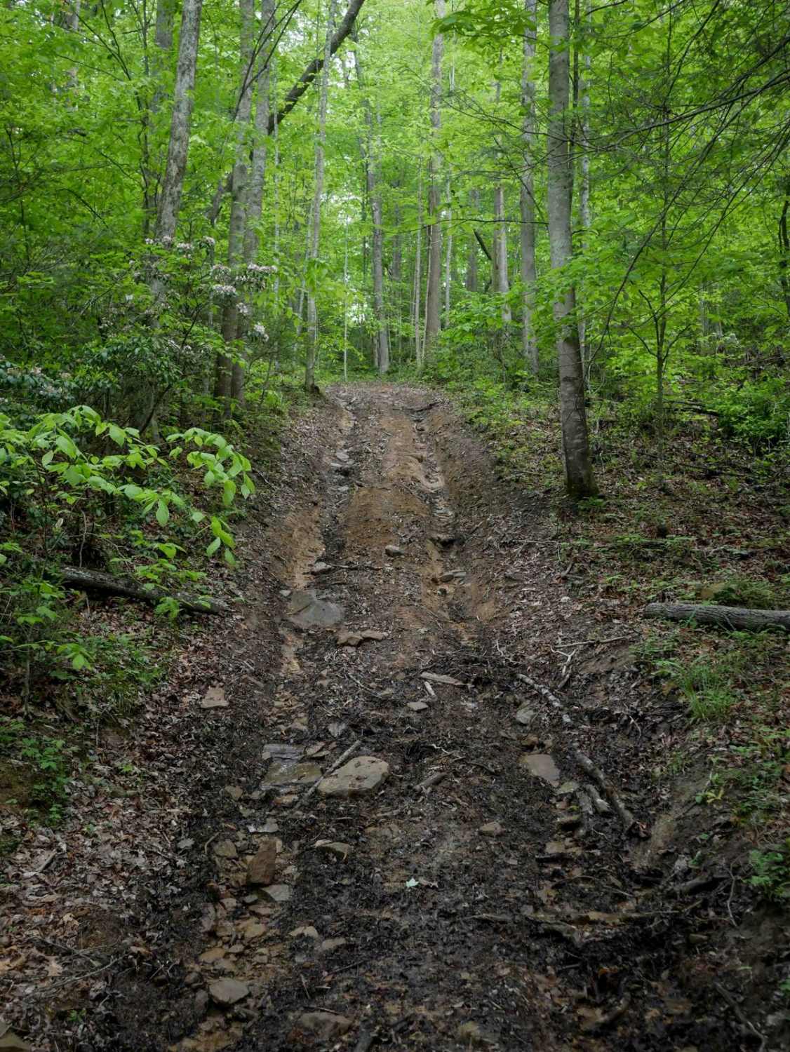
Locally known as The Scales, Pine Mountain Road is a gravel and dirt road that connects to the Scales Group Camp. The camping area is on the border of Grayson Highlands State Park and the Mt. Rogers Recreation Area. The route includes a few steep switchbacks, some rock areas, and a few muddy potholes, but nothing a stock vehicle with decent clearance can't handle. The group camp at the top can be rather popular on the weekends, but it's large enough you can usually find a spot to park your rig. On the way up, there is one trailside camping spot (pictured), but it would be tight getting a vehicle off the trail there. For the majority of the route, it's one vehicle wide, but a few spots provide opportunities to pass. Cell service is spotty or nonexistent along the route.
Photos of Pine Mountain
Difficulty
As long as you navigate around a few of the larger rocks, a stock vehicle will be fine. A couple of the switchbacks are steep and sharp turns, so at a minimum AWD would be nice.
Status Reports
Pine Mountain can be accessed by the following ride types:
- SUV
Pine Mountain Map
Popular Trails
CC1 (Part 2)
The onX Offroad Difference
onX Offroad combines trail photos, descriptions, difficulty ratings, width restrictions, seasonality, and more in a user-friendly interface. Available on all devices, with offline access and full compatibility with CarPlay and Android Auto. Discover what you’re missing today!