Petites Gap
Total Miles
4.0
Technical Rating
Best Time
Fall, Summer, Spring
Trail Type
Full-Width Road
Accessible By
Trail Overview
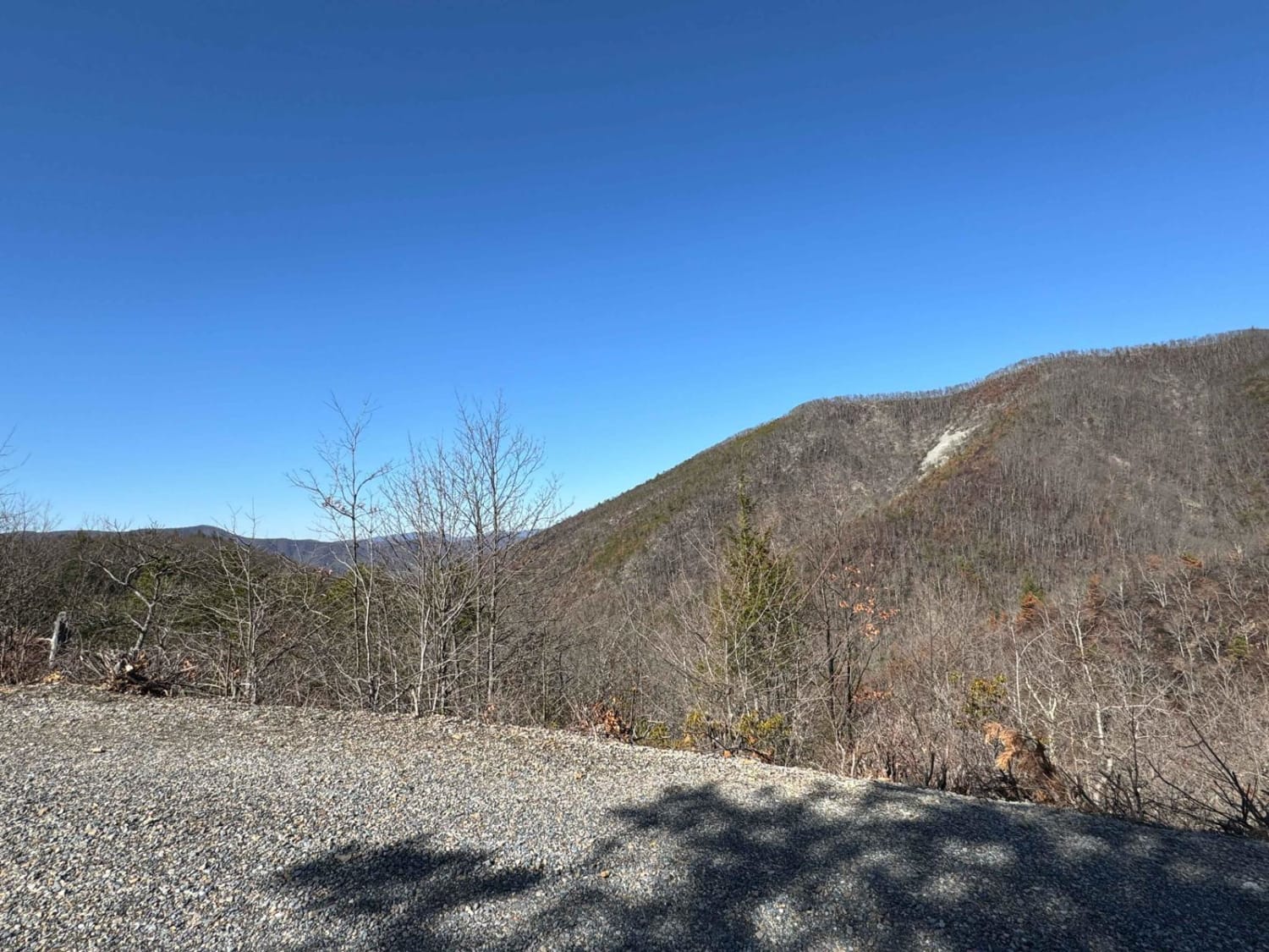
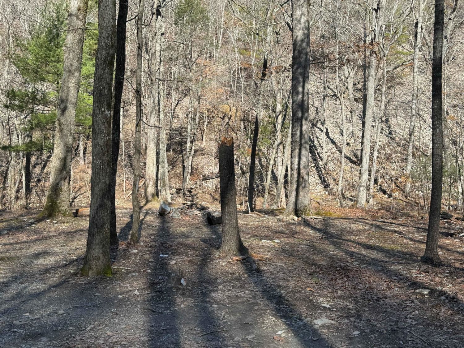
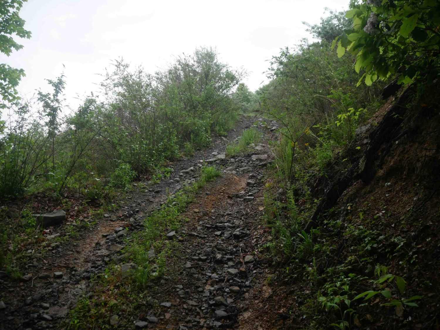
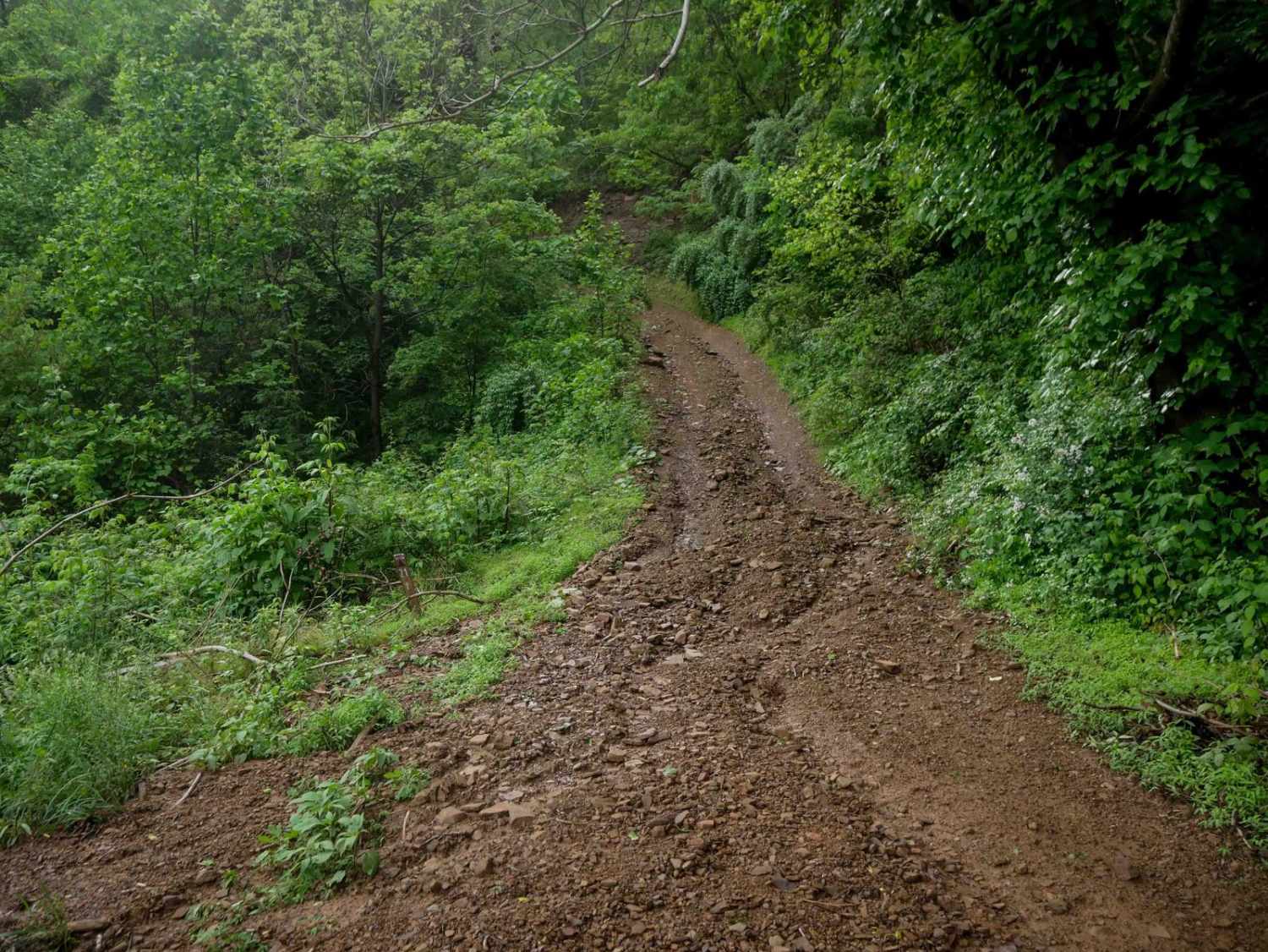
Petites Gap descends the northern slope of the Blue Ridge Mountains from the parkway. After descending a few switchbacks, it parallels a fork of Elk Creek until leaving the National Forest. There are a couple of campsites along the way. Some are large enough for a vehicle, or possibly two. At least two sites have parking but require you to walk into the area with the firepit. If you're visiting in the summer, check out the creek for a couple of decent-sized swimming holes near the bottom. This area was affected by the Matt's Creek Fire of 2023.
Photos of Petites Gap
Difficulty
This is a well-maintained and often-traveled forest road.
Status Reports
Petites Gap can be accessed by the following ride types:
- SUV
Petites Gap Map
Popular Trails


Briery Branch Trail - FS 924
The onX Offroad Difference
onX Offroad combines trail photos, descriptions, difficulty ratings, width restrictions, seasonality, and more in a user-friendly interface. Available on all devices, with offline access and full compatibility with CarPlay and Android Auto. Discover what you’re missing today!