OP 18
Total Miles
1.9
Technical Rating
Best Time
Spring, Fall, Summer, Winter
Trail Type
60" Trail
Accessible By
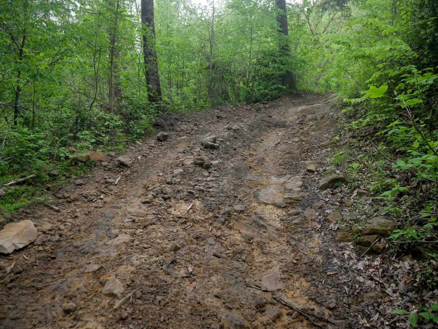
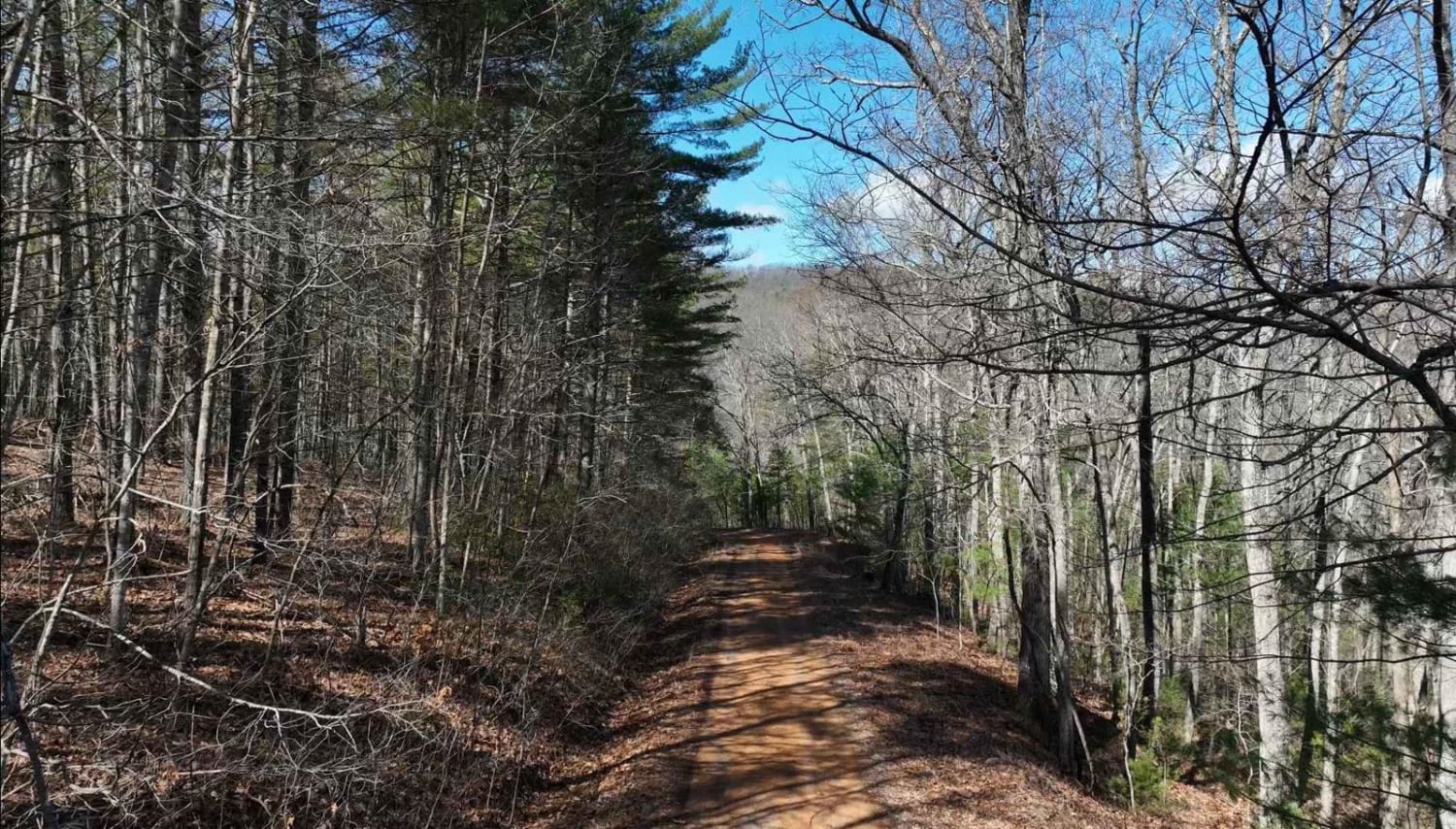
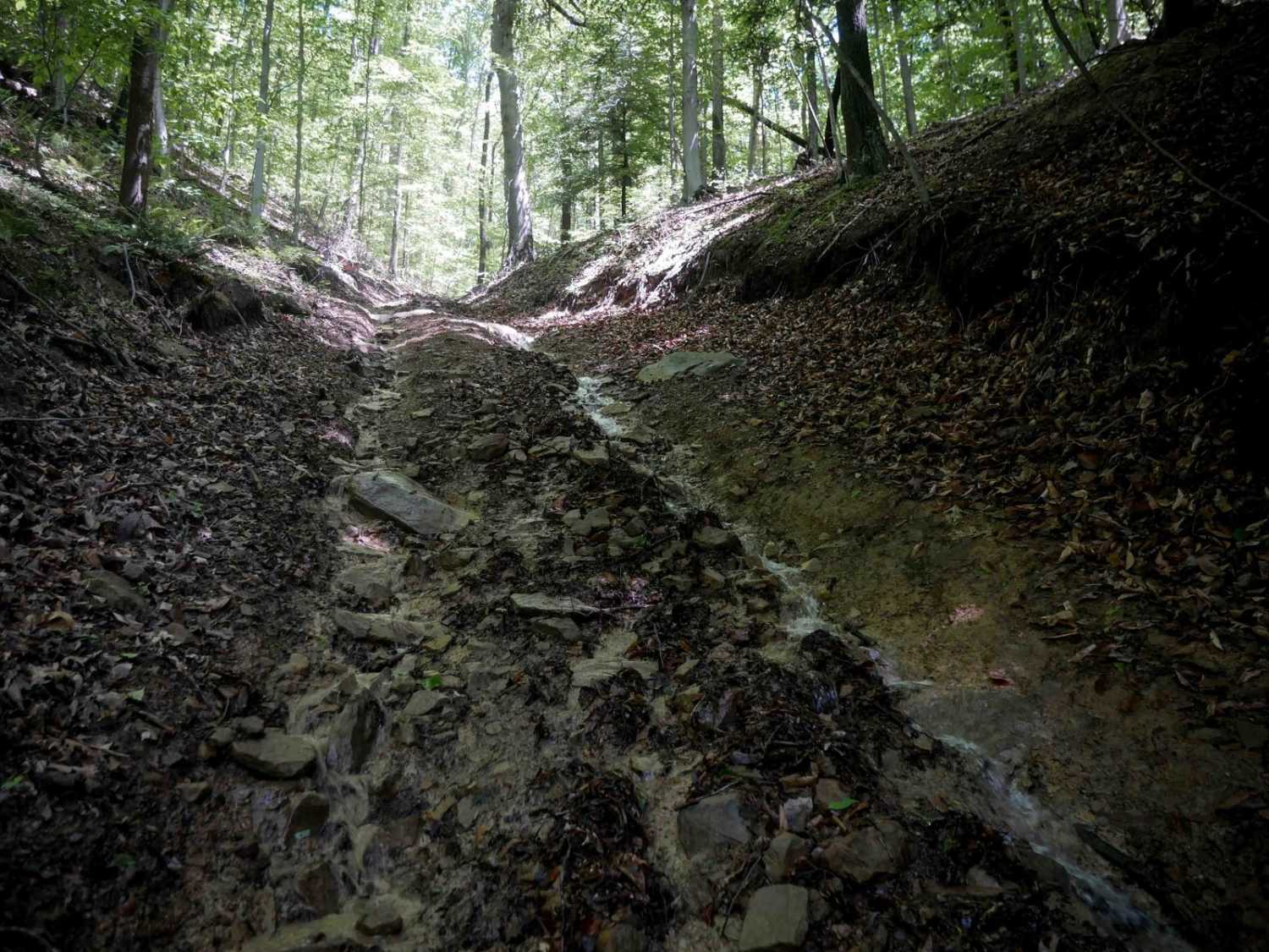
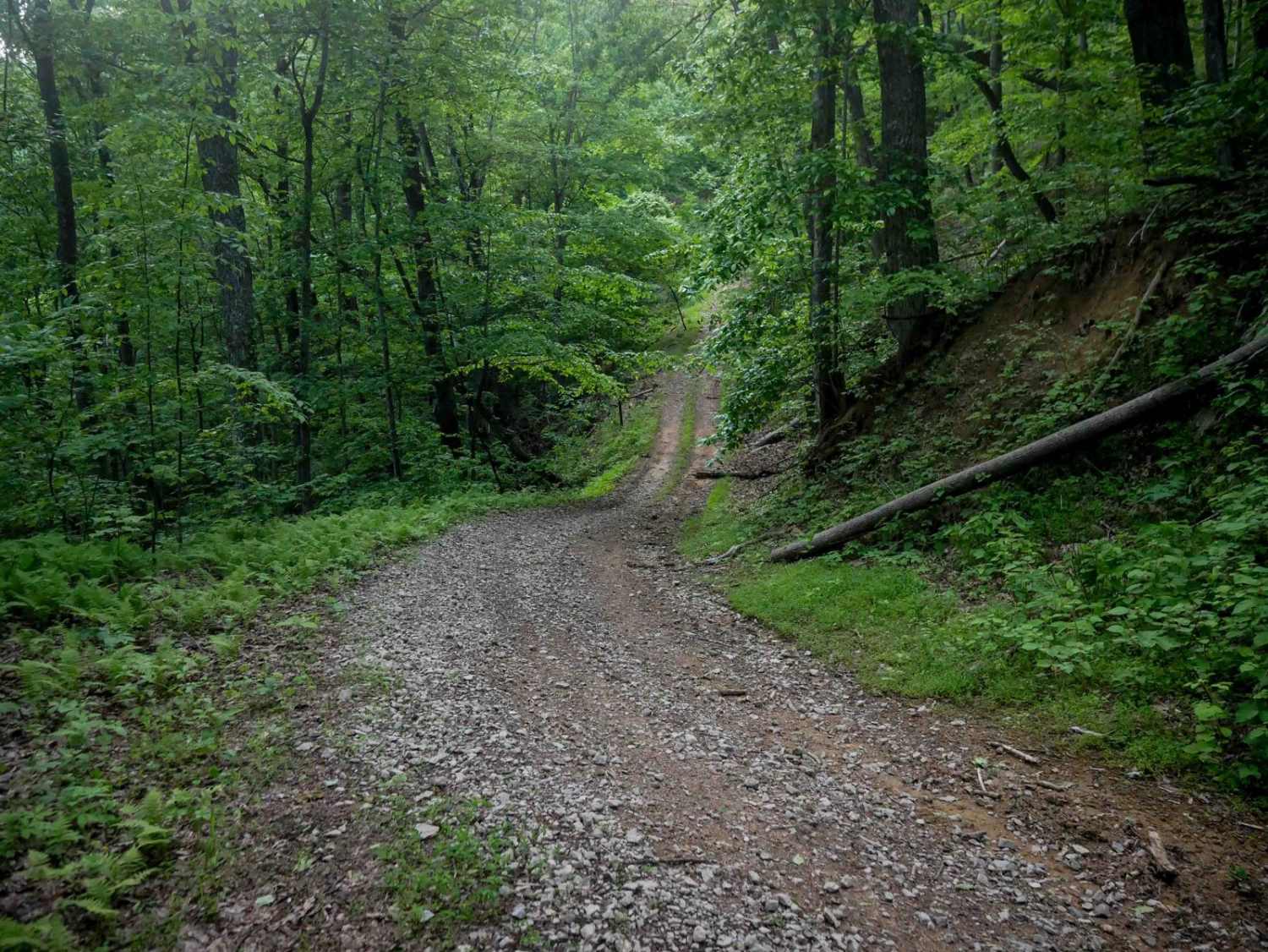
Trail Overview
OP 18 is a 2-mile route that runs from OP 14 deeper into the trail system, serving as a connector to several easy trails. It drops down to a dense, lush forest floor, before climbing to 2,800 feet elevation on the north end on an easy path through the hilltops through pitch pines and poplar trees. Expect easy smooth sections, sections with minor embedded rock, a few tight switchbacks, and semi-steep grades. Despite these features, the trail remains easy overall and is well-suited to all skill levels.
Photos of OP 18

Difficulty
This is an easy route with no major obstacles, ideal for all skill levels.
Status Reports
OP 18 can be accessed by the following ride types:
- SxS (60")
- ATV (50")
- Dirt Bike
OP 18 Map
Popular Trails
Clinch Mountain Fire Tower
The onX Offroad Difference
onX Offroad combines trail photos, descriptions, difficulty ratings, width restrictions, seasonality, and more in a user-friendly interface. Available on all devices, with offline access and full compatibility with CarPlay and Android Auto. Discover what you’re missing today!