J80
Total Miles
0.6
Technical Rating
Best Time
Fall, Spring, Summer, Winter
Trail Type
High-Clearance 4x4 Trail
Accessible By
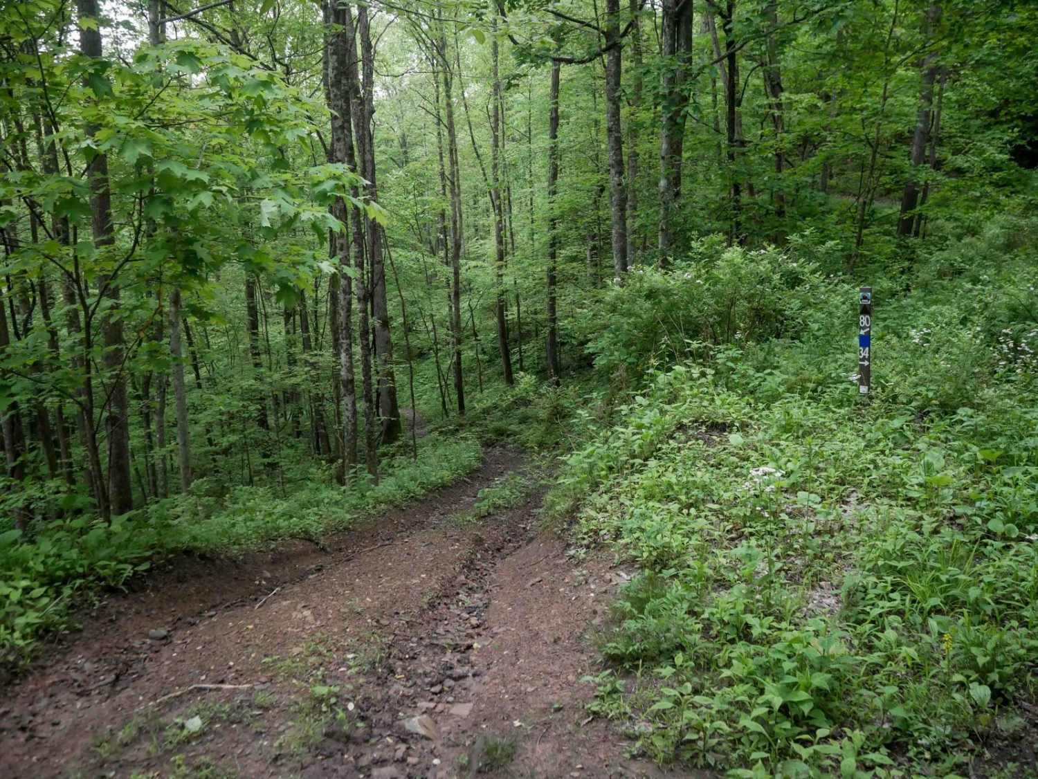
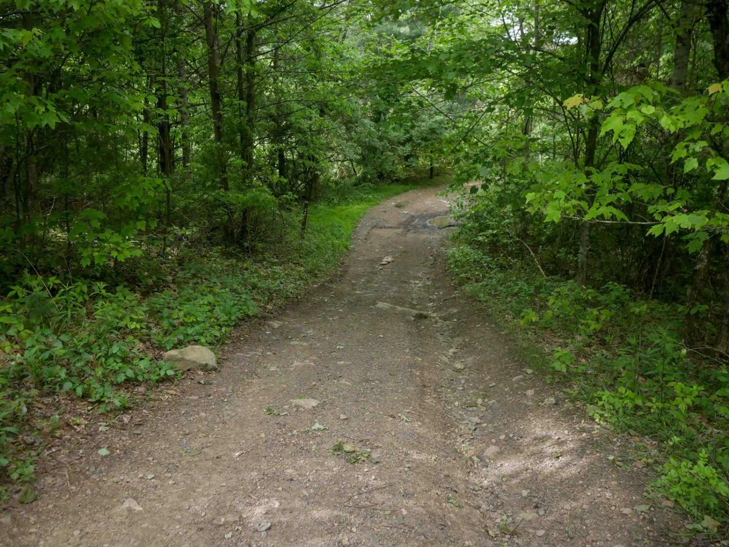
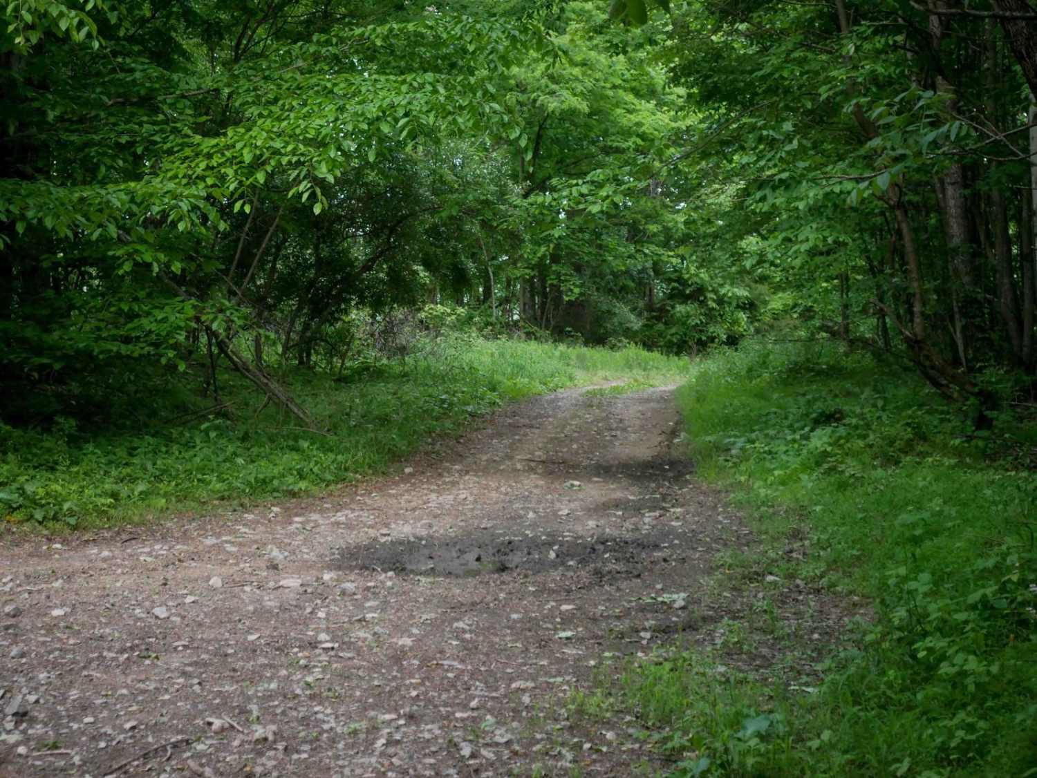
Trail Overview
J80 is a moderately easy, 0.6-mile trail characterized by a rugged, narrow shelf path cut into a hillside within dense woods. The trail parallels Mudlick Creek and features stick and leaf debris, downed branches, mud puddles, and some loose rock sections. Tight corners and limited width on the shelf present additional challenges for drivers.
Photos of J80

Difficulty
While the trail surface is easy, and there are no big obstacles, this is a moderate trail due to a really narrow width along a shelf that could be a challenging factor for wider vehicles. This is considered Most Difficult by Spearhead's rating system.
Status Reports
J80 can be accessed by the following ride types:
- High-Clearance 4x4
- SxS (60")
- ATV (50")
- Dirt Bike
J80 Map
Popular Trails


The onX Offroad Difference
onX Offroad combines trail photos, descriptions, difficulty ratings, width restrictions, seasonality, and more in a user-friendly interface. Available on all devices, with offline access and full compatibility with CarPlay and Android Auto. Discover what you’re missing today!