J7
Total Miles
2.2
Technical Rating
Best Time
Fall, Spring, Summer, Winter
Trail Type
High-Clearance 4x4 Trail
Accessible By
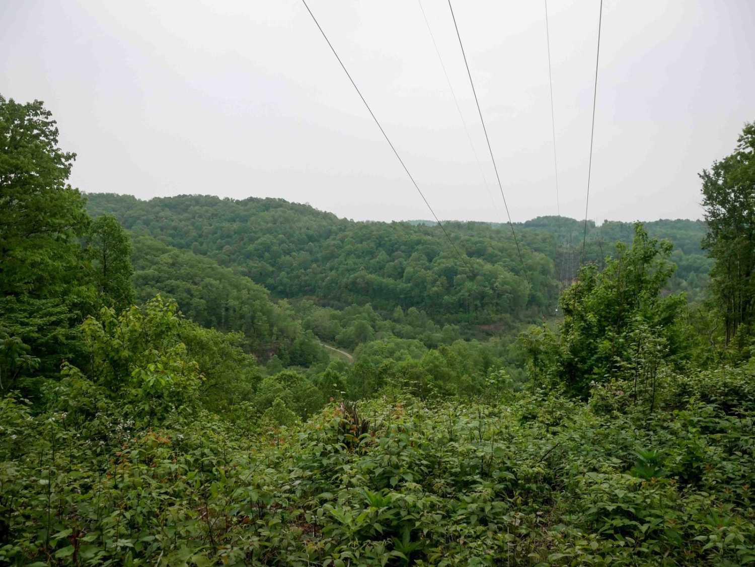
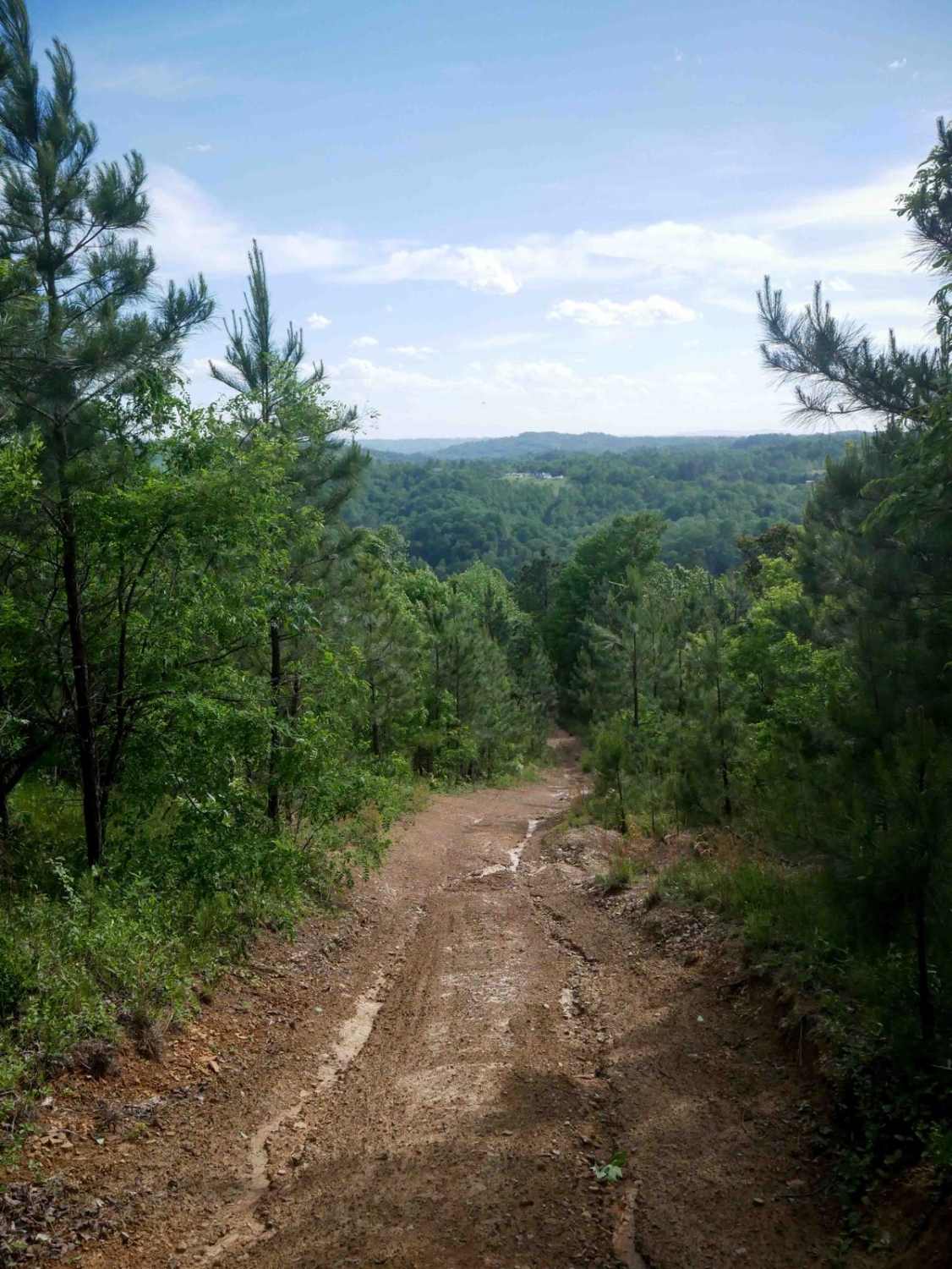
Trail Overview
J7 is an easy, wide gravel and dirt route that curves south to north through the Jawbone trail system. It travels under the powerlines with open skies above, offering gradual elevation changes as it rolls over small hills. The trail surface is mostly smooth with shallow ruts and minimal rock, making it well-suited for beginners. A short spur near the south end leads to a scenic overlook beneath the powerlines. Watch for occasional mud and ruts, but expect an overall mellow, non-technical ride.
Photos of J7

Difficulty
This is an easy route with no obstacles, great for beginners.
Status Reports
J7 can be accessed by the following ride types:
- High-Clearance 4x4
- SxS (60")
- ATV (50")
- Dirt Bike
J7 Map
Popular Trails


Peters Mill Run
The onX Offroad Difference
onX Offroad combines trail photos, descriptions, difficulty ratings, width restrictions, seasonality, and more in a user-friendly interface. Available on all devices, with offline access and full compatibility with CarPlay and Android Auto. Discover what you’re missing today!