2 trails found in Utah
Which "whiskers draw" are you looking for?
We found 2 off-road trails in Utah matching your search. Pick the one you're looking for below.
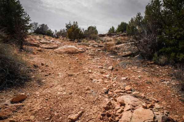
North Fork Whiskers Draw
This 3.6-mile route continues south from the graded road Whisker Draw South until it meets up with County Road 240. It starts at the intersection with Whisker Draw South at the point where it becomes narrow and off-camber, which is very different from the wide graded road. It's narrow between tall ...
Learn more about North Fork Whiskers Draw
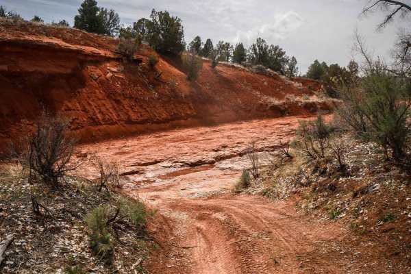
Whiskers Draw
This 3.3-mile trail goes west from South Elks Road, connecting to another Jeep trail that makes a loop back to South Elks Road. It goes between pinyon pine and sagebrush with big ruts running alongside the trail. It has lots of big dips and G-outs as it crosses ravines running perpendicular through ...
Learn more about Whiskers Draw