Water Tower Overlook
Total Miles
0.6
Technical Rating
Best Time
Spring, Summer, Fall, Winter
Trail Type
Full-Width Road
Accessible By
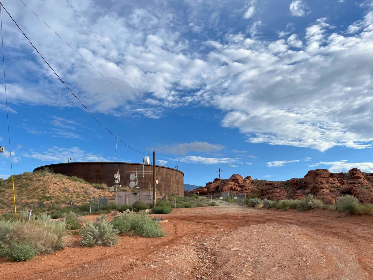
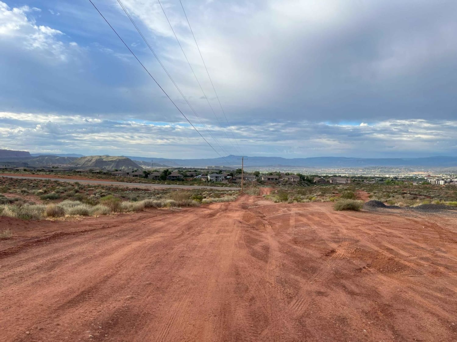
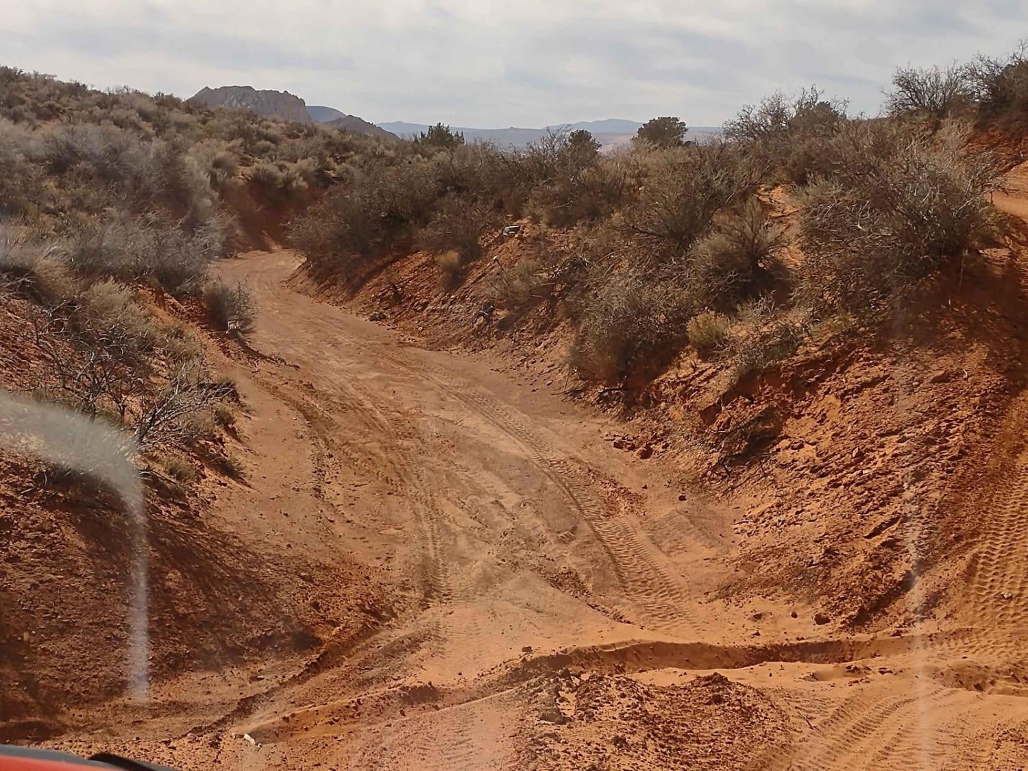
Trail Overview
This is an easy trail right out of the city. 4WD is not required, but it may be useful to climb some sand hills. This trail leads to mountain biking and hiking areas in the Turtle Reserve.
Photos of Water Tower Overlook
Difficulty
The trail is a little rocky, but easy to navigate if you have a lower vehicle.
Water Tower Overlook can be accessed by the following ride types:
- High-Clearance 4x4
- SUV
- SxS (60")
- ATV (50")
- Dirt Bike
Water Tower Overlook Map
Popular Trails

Frisco Peak Road

East Hogup Road

Backdoor to Babylon Wash
The onX Offroad Difference
onX Offroad combines trail photos, descriptions, difficulty ratings, width restrictions, seasonality, and more in a user-friendly interface. Available on all devices, with offline access and full compatibility with CarPlay and Android Auto. Discover what you’re missing today!