Uinta Loop 2
Total Miles
1.5
Technical Rating
Best Time
Fall, Summer
Trail Type
60" Trail
Accessible By
Trail Overview
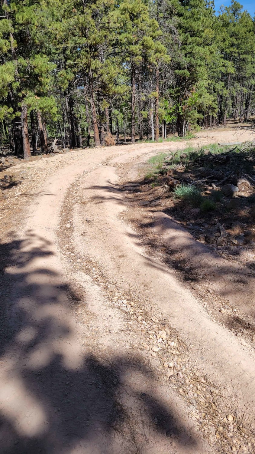
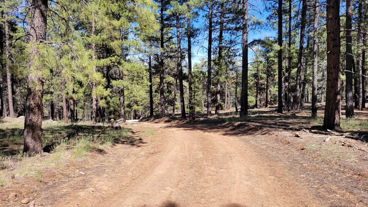
This is a short but more challenging trail. According to the Markagunt OHV System Map, this ranks as a blue (advanced) trail. Open to SXS or smaller machines. There are some deep erosion spots (ruts) and large rocky sections throughout the trail, as well as a short but fairly steep hill towards the (West) end of the trail. If running the trail from East to West, you'll ascend the hill. Trail #45 of the Markagunt OHV System.
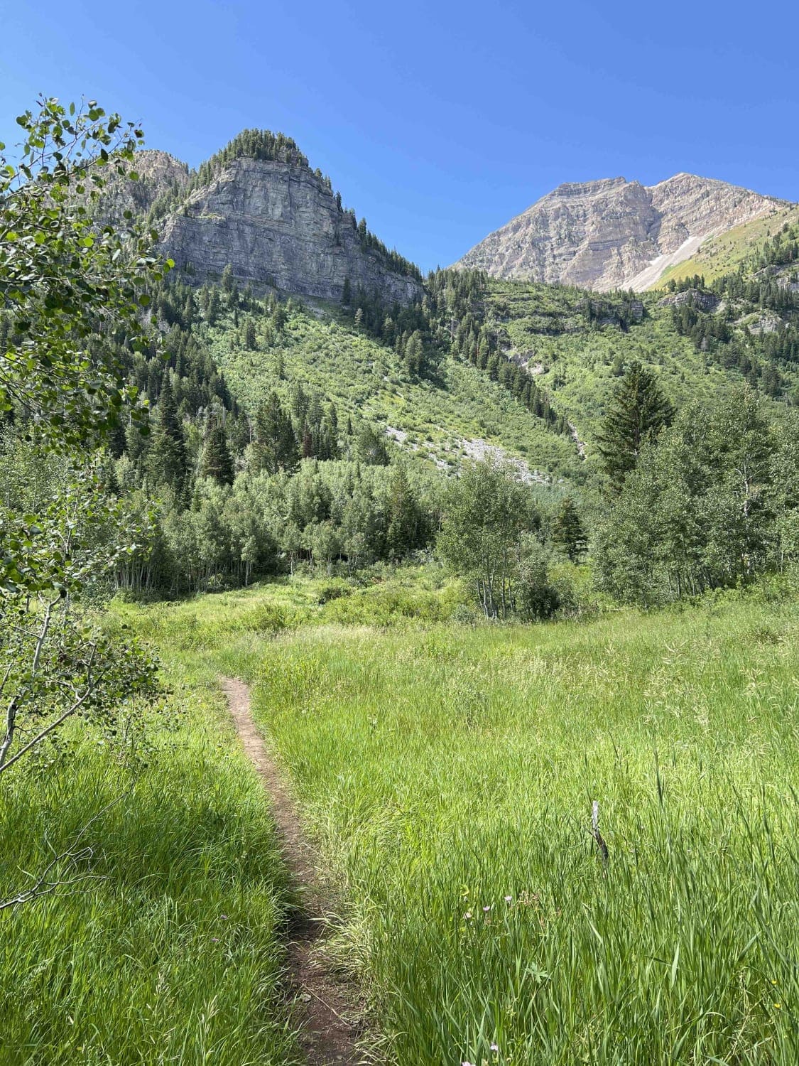
Photos of Uinta Loop 2
Difficulty
There are some deep erosion spots (ruts) and large rocky sections throughout the trail, as well as a short but fairly steep hill towards the (West) end of the trail.
Status Reports
Uinta Loop 2 can be accessed by the following ride types:
- SxS (60")
- ATV (50")
- Dirt Bike
Uinta Loop 2 Map
Popular Trails
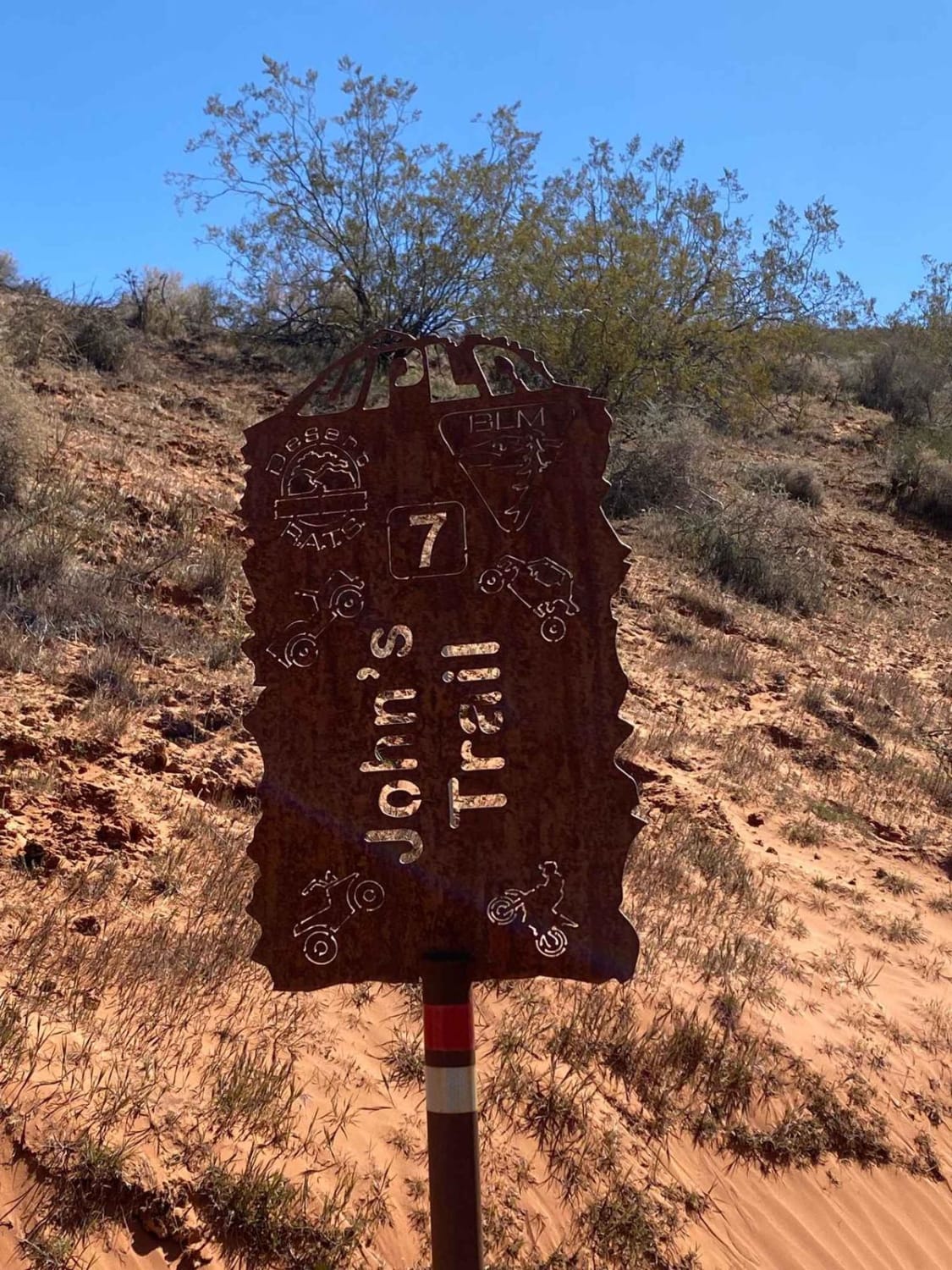
John's Trail
BLM730-Kane County 4080
Timpooneke to Chris' Flat (2151)
Spiral Jetty Lookout
The onX Offroad Difference
onX Offroad combines trail photos, descriptions, difficulty ratings, width restrictions, seasonality, and more in a user-friendly interface. Available on all devices, with offline access and full compatibility with CarPlay and Android Auto. Discover what you’re missing today!