The Thumb
Total Miles
0.8
Technical Rating
Best Time
Spring, Winter, Fall
Trail Type
Single Track
Accessible By
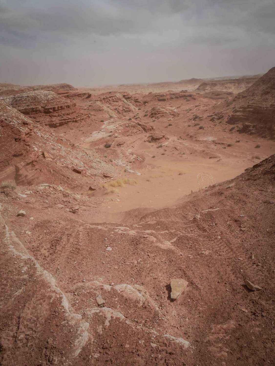
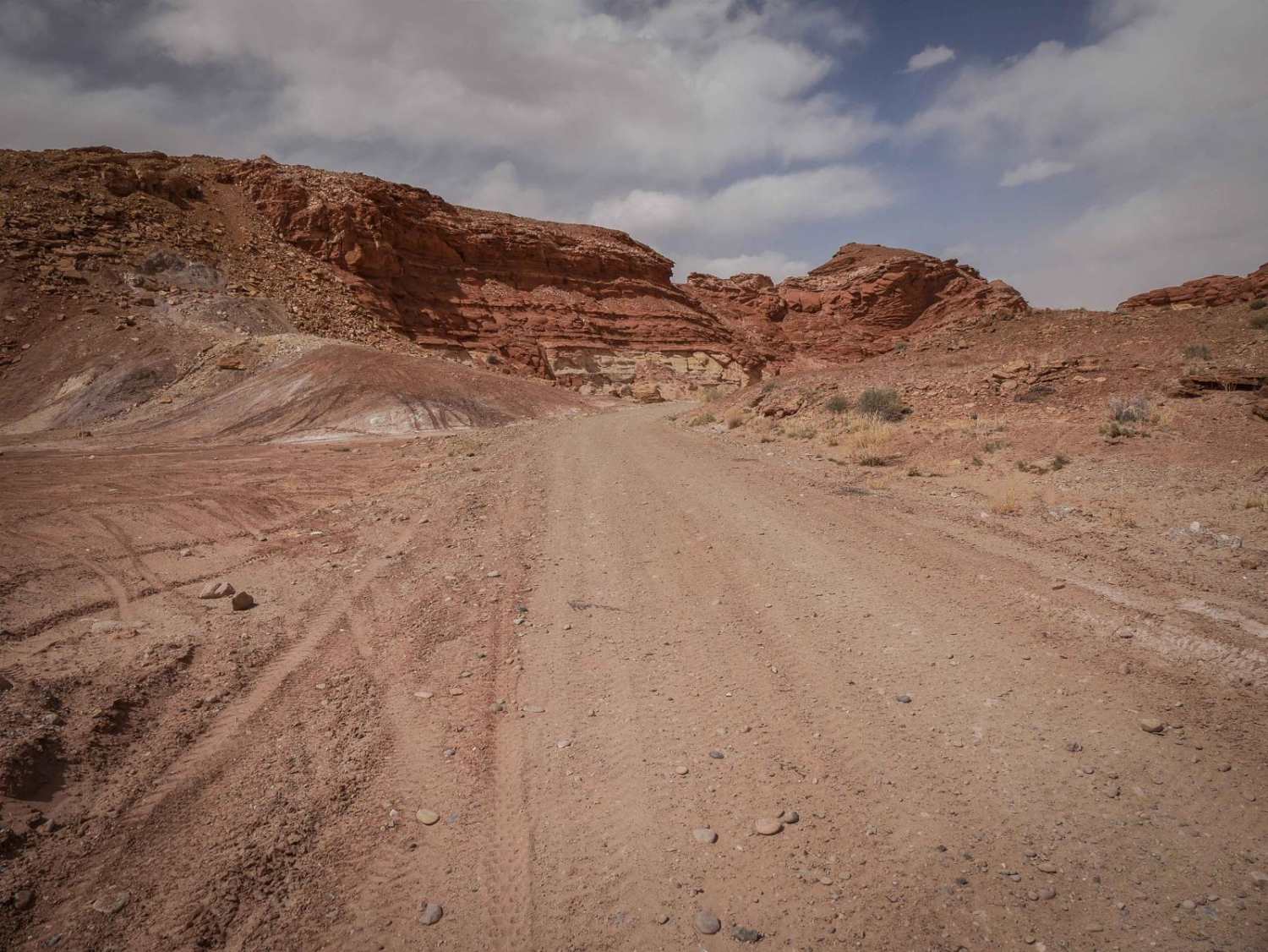
Trail Overview
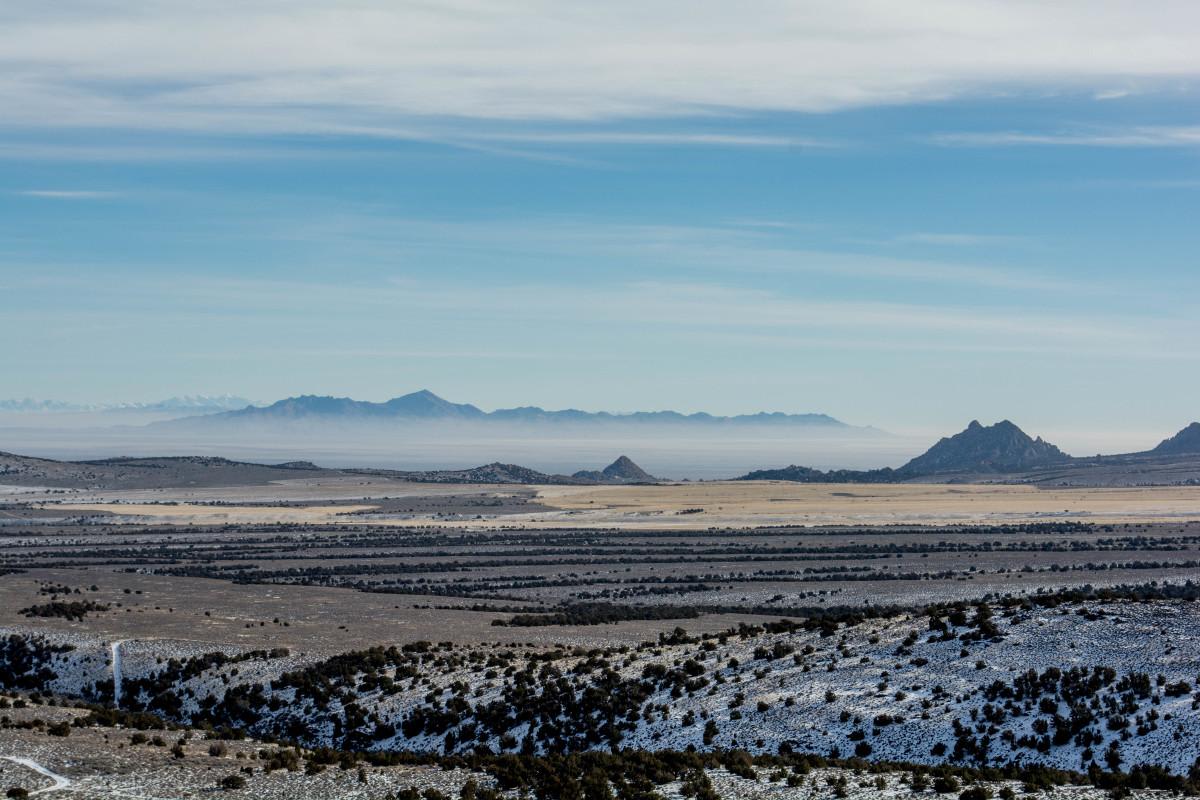
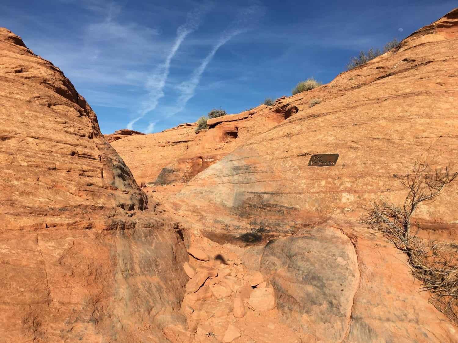
This is a wide dirt trail with embedded rock slab and loose rocks. It goes through a red desert terrain with big sandstone mesas in the distance, going up and over small hills and through washes between red dirt bluffs. There are small ledges at the crest of the hills to get up or down, and one really big wash crossing. The ledges are only a foot tall, but sometimes the hills have steeper spots. It goes past big sandstone mesas and towers and a huge camping area at the end of Road D2973.
Photos of The Thumb
Difficulty
This trail is fairly easy for dirt bikes for all of it, with just one spot with a foot-tall ledge at the crest of a steep hill.
Status Reports
The Thumb can be accessed by the following ride types:
- Dirt Bike
The Thumb Map
Popular Trails
Sheepherder's Park (FS# 41080)
Whites Flat FS 30152
Devil's Playground and Dodge Truck Mines
The onX Offroad Difference
onX Offroad combines trail photos, descriptions, difficulty ratings, width restrictions, seasonality, and more in a user-friendly interface. Available on all devices, with offline access and full compatibility with CarPlay and Android Auto. Discover what you’re missing today!