Sheep Creek Connector ATV Trail
Total Miles
6.0
Technical Rating
Best Time
Fall, Summer, Spring
Trail Type
50" Trail
Accessible By
Trail Overview
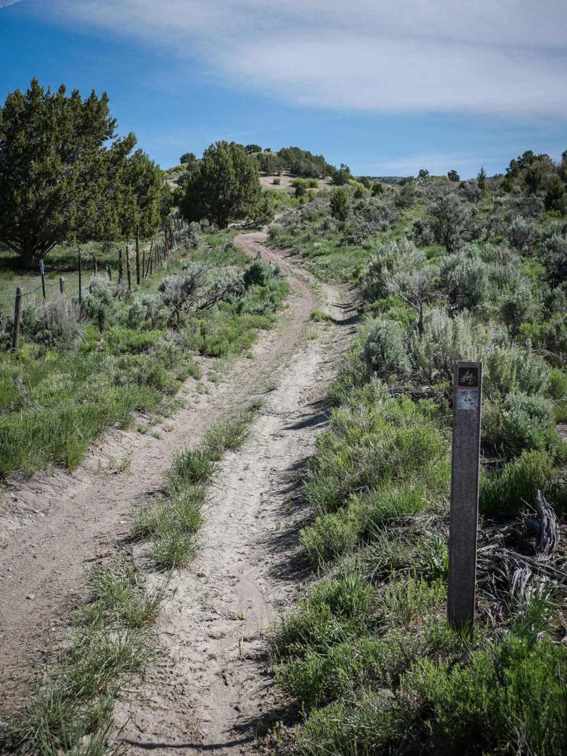
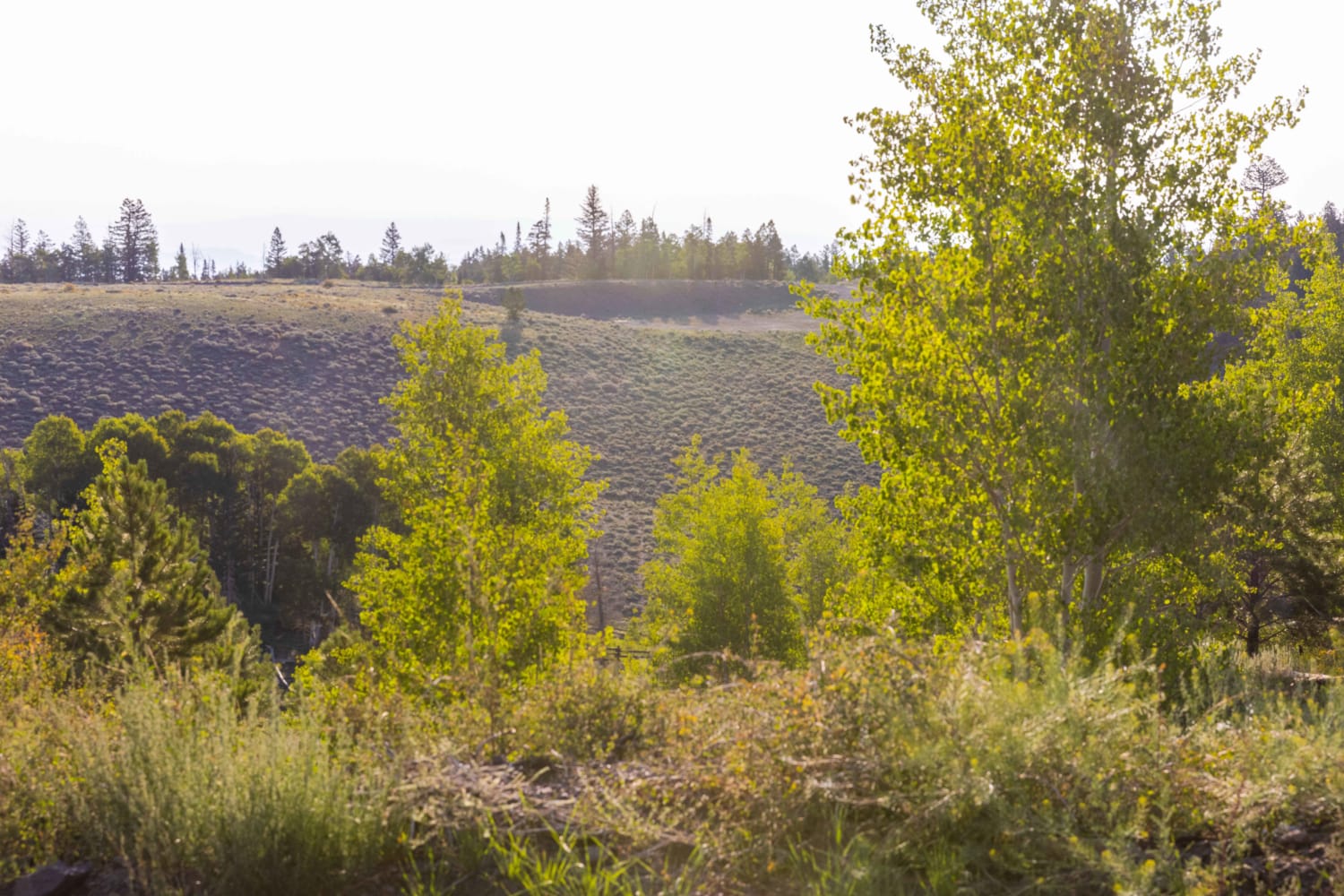
Sheep Creek Connector Trail is a 6-mile-long ATV trail in the Uinta National Forest southeast of Provo, Utah. It's a wide and easy two-track the whole way with only a few harder sections because they are steep. The south end starts at the fenced camping/staging area off of Sheep Creek-Rays Valley Road at the gate, which you need to close behind you. It goes through grassy valleys and hills on a mix of soft and hard-packed dirt that is mostly smooth with only a few rockier sections. It goes through the hills with lots of tight turns between bushes and shelfy sections along the hillsides. It goes across big grassy fields and can be a bit rutted in sections, and a bit overgrown with grass in the early season. It tees up with a dirt road a couple of times, then departs from the road, and is pretty easy to follow the whole way. If riding in the Monks Hollow OHV area, this will likely be the first trail you'll take out of the staging area, and it accesses lots of other dirt bike and ATV trails through these rolling green mountains. This trail opens June 1st and stays below 8,000 feet of elevation, so it will likely be clear of any snow by the time it opens for the season. The trail closes for the season on September 30.
Photos of Sheep Creek Connector ATV Trail
Difficulty
This is an easy ATV trail for the whole 6 miles with only a few harder sections that are steep. There are no notable obstacles.
Status Reports
Sheep Creek Connector ATV Trail can be accessed by the following ride types:
- ATV (50")
- Dirt Bike
Sheep Creek Connector ATV Trail Map
Popular Trails
Navajo Drive
Papa Smurf
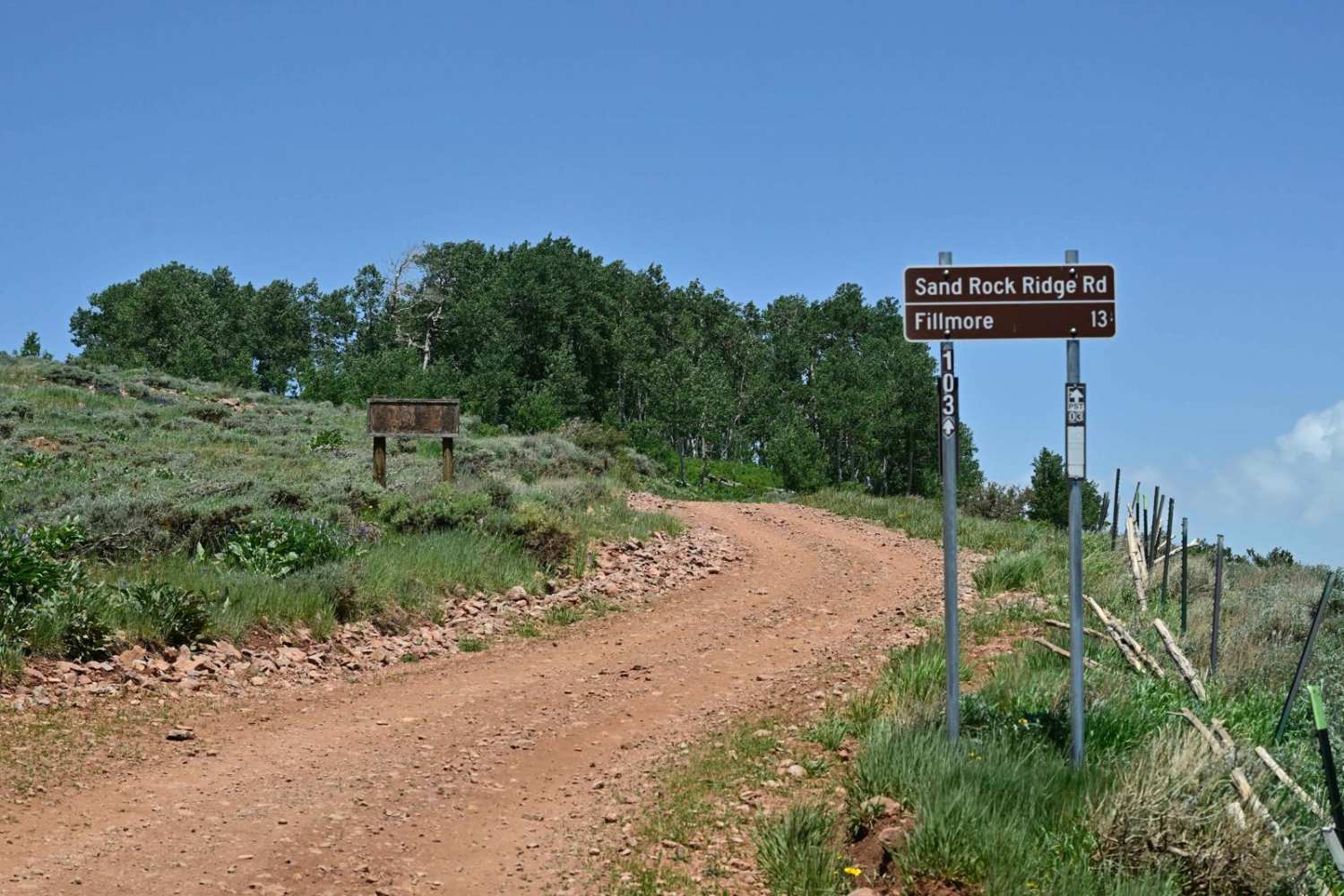
Sand Rock Ridge Road/PST 03B
The onX Offroad Difference
onX Offroad combines trail photos, descriptions, difficulty ratings, width restrictions, seasonality, and more in a user-friendly interface. Available on all devices, with offline access and full compatibility with CarPlay and Android Auto. Discover what you’re missing today!

