Rifle Range Road
Total Miles
4.3
Technical Rating
Best Time
Spring, Summer, Fall, Winter
Trail Type
Full-Width Road
Accessible By
Trail Overview
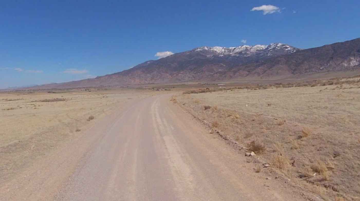
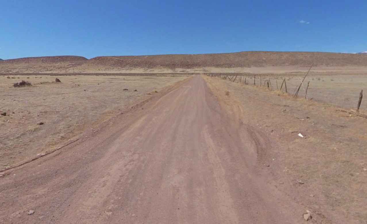
Rifle Range Road is a 6.2-mile point-to-point trail rated 2 of 10 located in Sevier County. This road is also known as 1025d Poverty Flat Road. This east/west road provides the southern cross-connect between the communities of Monroe and Joseph, crossing both Bureau of Land Management and Utah State Trust lands. This graded trail consists of hard pack dirt through barren rolling terrain. Long Valley is the low-lying area between two sections of the Fishlake National Forest. The Sevier River and canal are located west of the trailhead before reaching SR 89 and Interstate 70. With altitudes above 6000 feet, this area has the potential to see increased precipitation in winter months and can contribute to muddy and slippery road conditions. Cell phone service was generally good along the entire length of the road. Fuel is available in both Joseph and Monroe. Full services are available in Richfield.
Photos of Rifle Range Road
Difficulty
County dirt road with infrequent or light maintenance after rain or snow, high clearance light-duty 4WD may be required.
Status Reports
Rifle Range Road can be accessed by the following ride types:
- High-Clearance 4x4
- SUV
- SxS (60")
- ATV (50")
- Dirt Bike
Rifle Range Road Map
Popular Trails

Cedar Mountain West

Lambert Many Rds 1 (FR 80919)
The onX Offroad Difference
onX Offroad combines trail photos, descriptions, difficulty ratings, width restrictions, seasonality, and more in a user-friendly interface. Available on all devices, with offline access and full compatibility with CarPlay and Android Auto. Discover what you’re missing today!