Mytoge
Total Miles
11.6
Technical Rating
Best Time
Spring, Summer, Fall
Trail Type
Full-Width Road
Accessible By
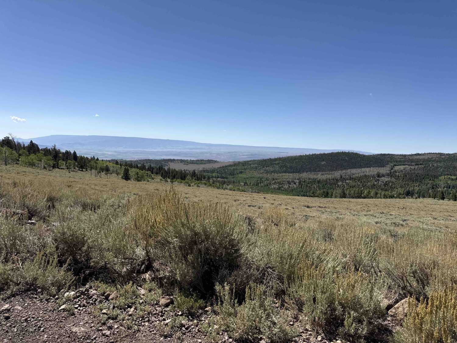
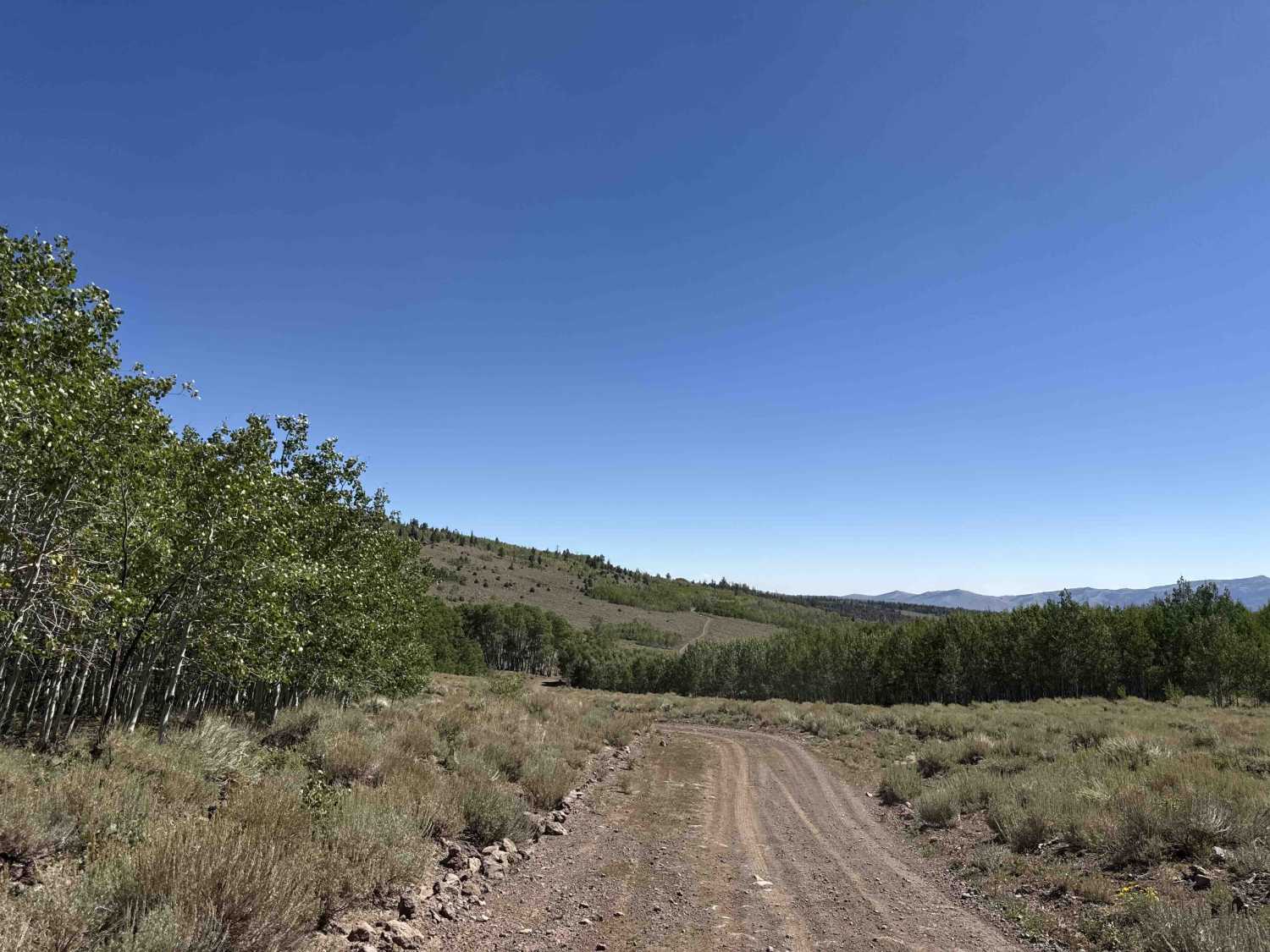
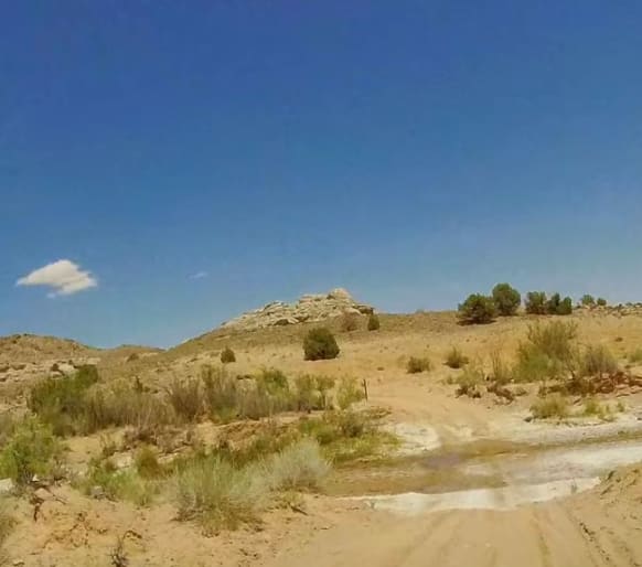
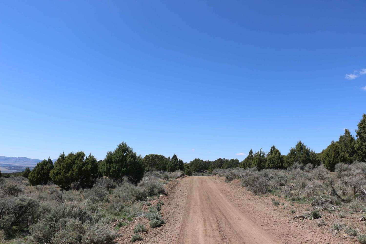
Trail Overview
This trail offers easy terrain with mostly gravel and dirt roads and opens into wide, expansive areas with numerous small side routes to explore. It provides scenic views of the surrounding peaks, Fish Lake, and the valley. Camping spots are plentiful along the route, though some areas can become crowded. The trail connects to main roads on both ends, providing access to Fish Lake and Pando Forest on the west side, or to Mill Meadow Reservoir by heading south on the main road at the west end.
Photos of Mytoge
Difficulty
This trail consists mostly of unmaintained dirt roads with generally easygoing terrain. Mild rough patches may be present, but overall conditions remain manageable for most vehicles.
Status Reports
Mytoge can be accessed by the following ride types:
- High-Clearance 4x4
- SUV
- SxS (60")
- ATV (50")
- Dirt Bike
Mytoge Map
Popular Trails
Hartnett/Cathedral Connector

Devil's Notch - FS 70090
Diamond Divide
Hot Spring Road-Beaver County 40
The onX Offroad Difference
onX Offroad combines trail photos, descriptions, difficulty ratings, width restrictions, seasonality, and more in a user-friendly interface. Available on all devices, with offline access and full compatibility with CarPlay and Android Auto. Discover what you’re missing today!