Markagaunt Plateau
Total Miles
12.7
Technical Rating
Best Time
Spring, Summer, Fall
Trail Type
Full-Width Road
Accessible By
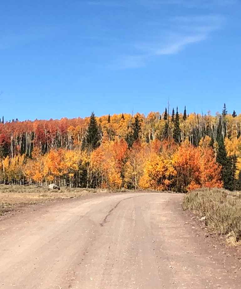
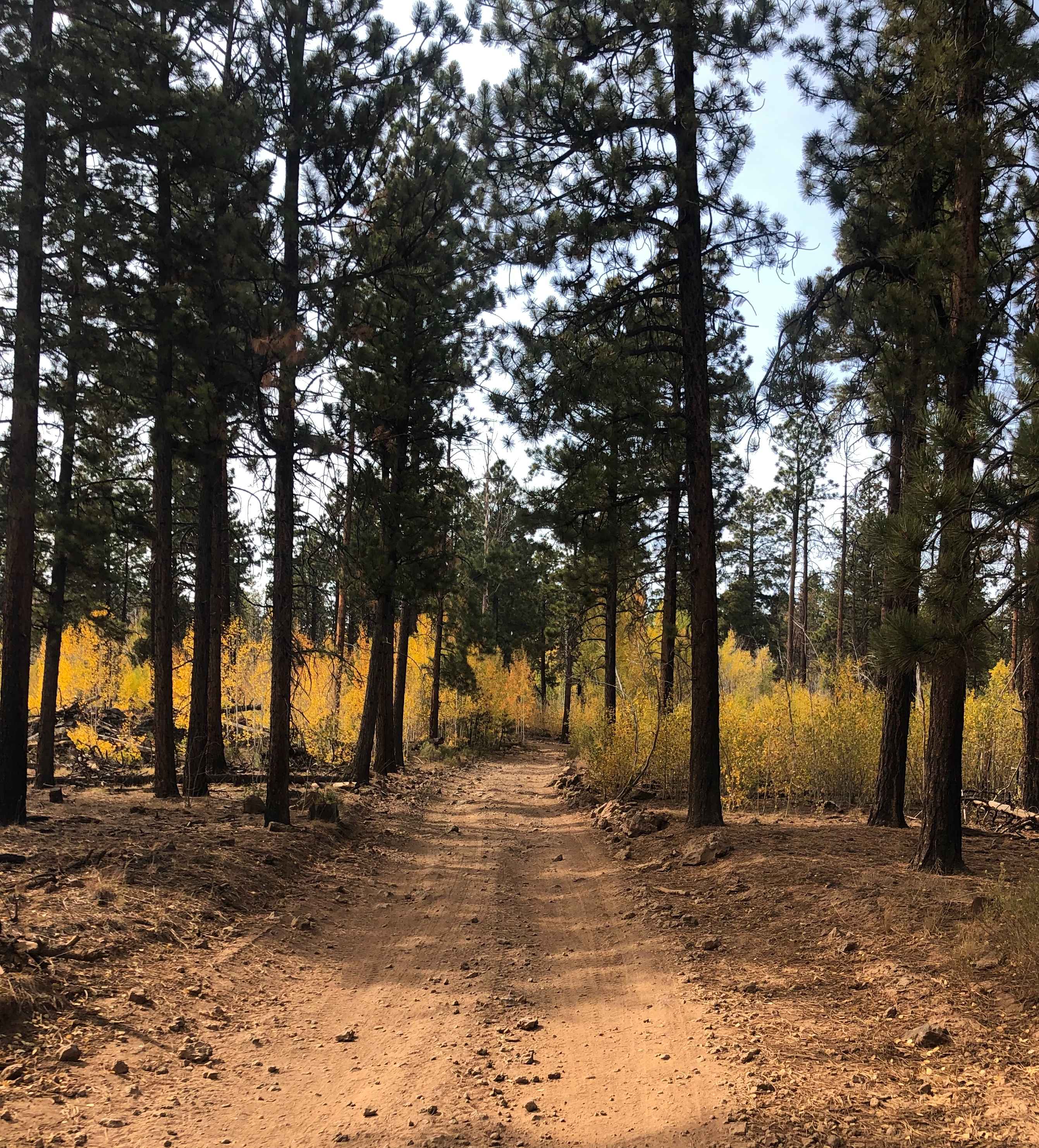
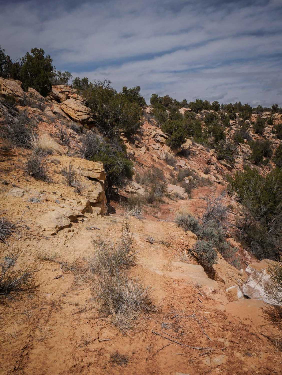
Trail Overview
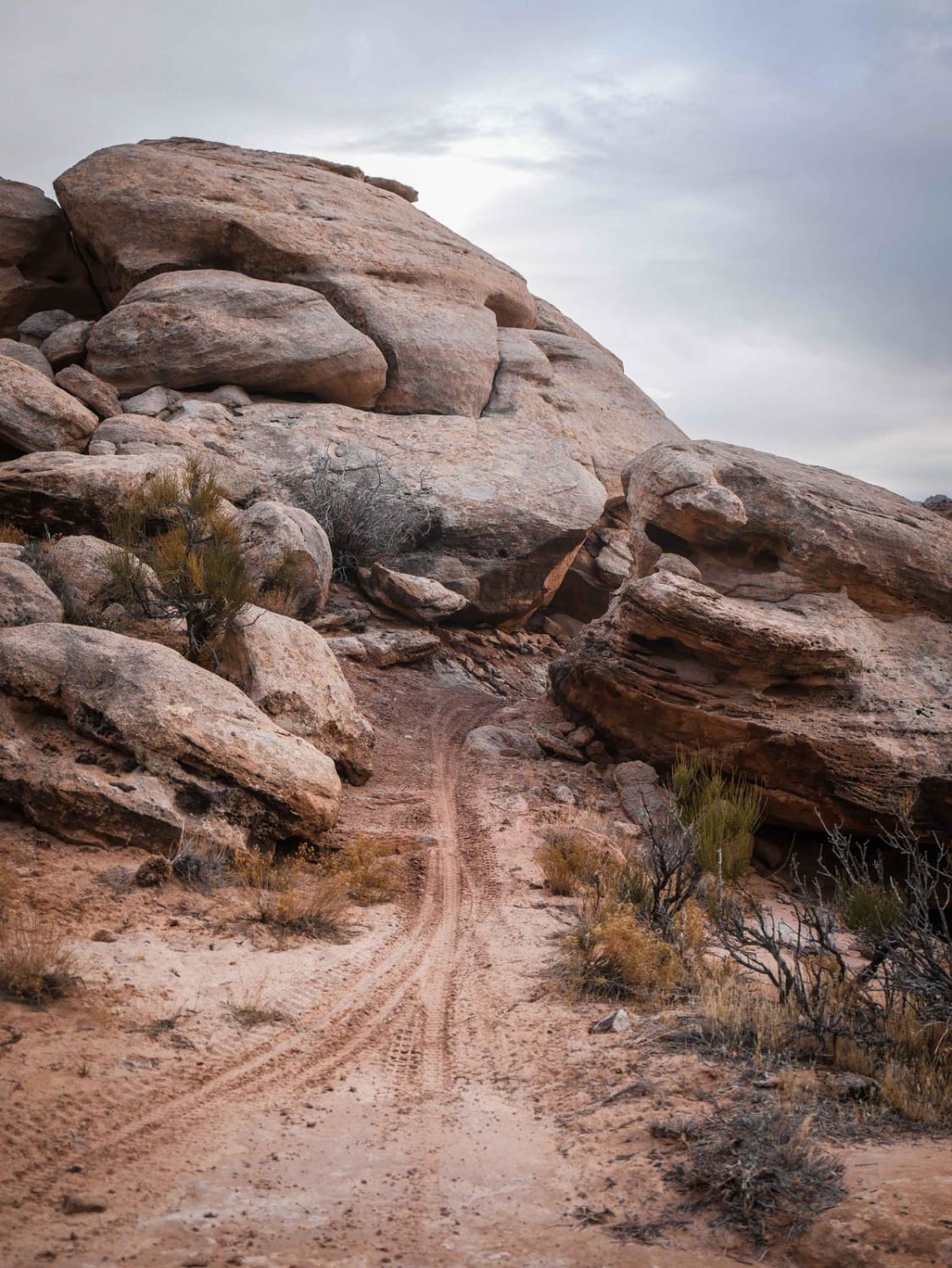
The trail goes between Duck Creek and connects to Red Desert, which connects shortly after to Highway 143. From the trail, numerous other trails are accessible and can go between Garfield County and Iron County. These trails are part of the Forrest Service trail system that is around the Duck Creek Area. There is a short section of this trail that goes over a lava rock bed, but it doesn't have ledges or any real obstacles to navigate.
Photos of Markagaunt Plateau
Difficulty
This trail is mostly on an even surface without any obstacles.
Status Reports
Markagaunt Plateau can be accessed by the following ride types:
- High-Clearance 4x4
- SUV
- SxS (60")
- ATV (50")
- Dirt Bike
Markagaunt Plateau Map
Popular Trails

Wedge Overlook Loop 1
West Mountain Route
The onX Offroad Difference
onX Offroad combines trail photos, descriptions, difficulty ratings, width restrictions, seasonality, and more in a user-friendly interface. Available on all devices, with offline access and full compatibility with CarPlay and Android Auto. Discover what you’re missing today!