Limestone Ridge/FR10257
Total Miles
3.1
Technical Rating
Best Time
Spring, Summer, Fall
Trail Type
Full-Width Road
Accessible By
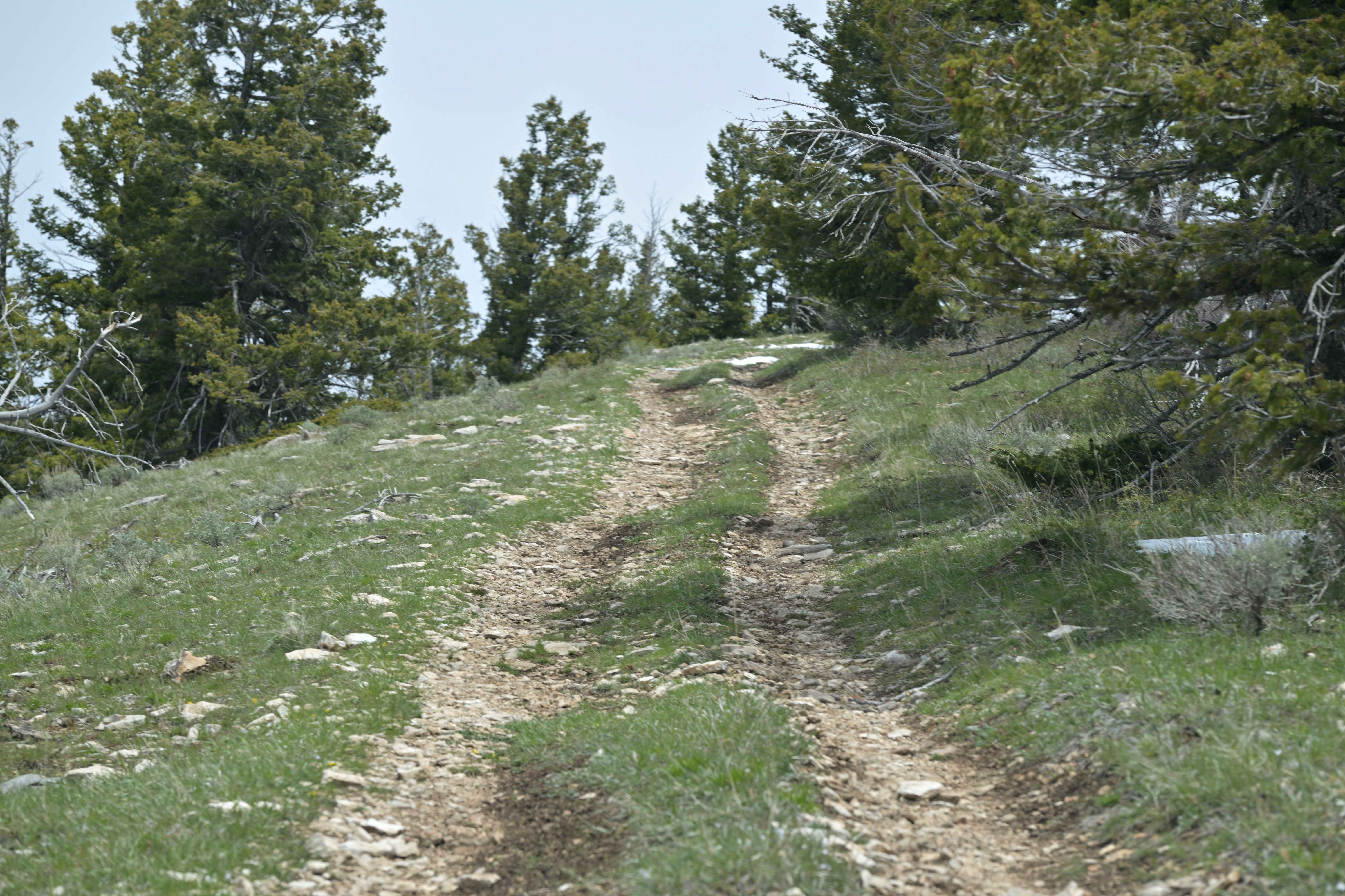
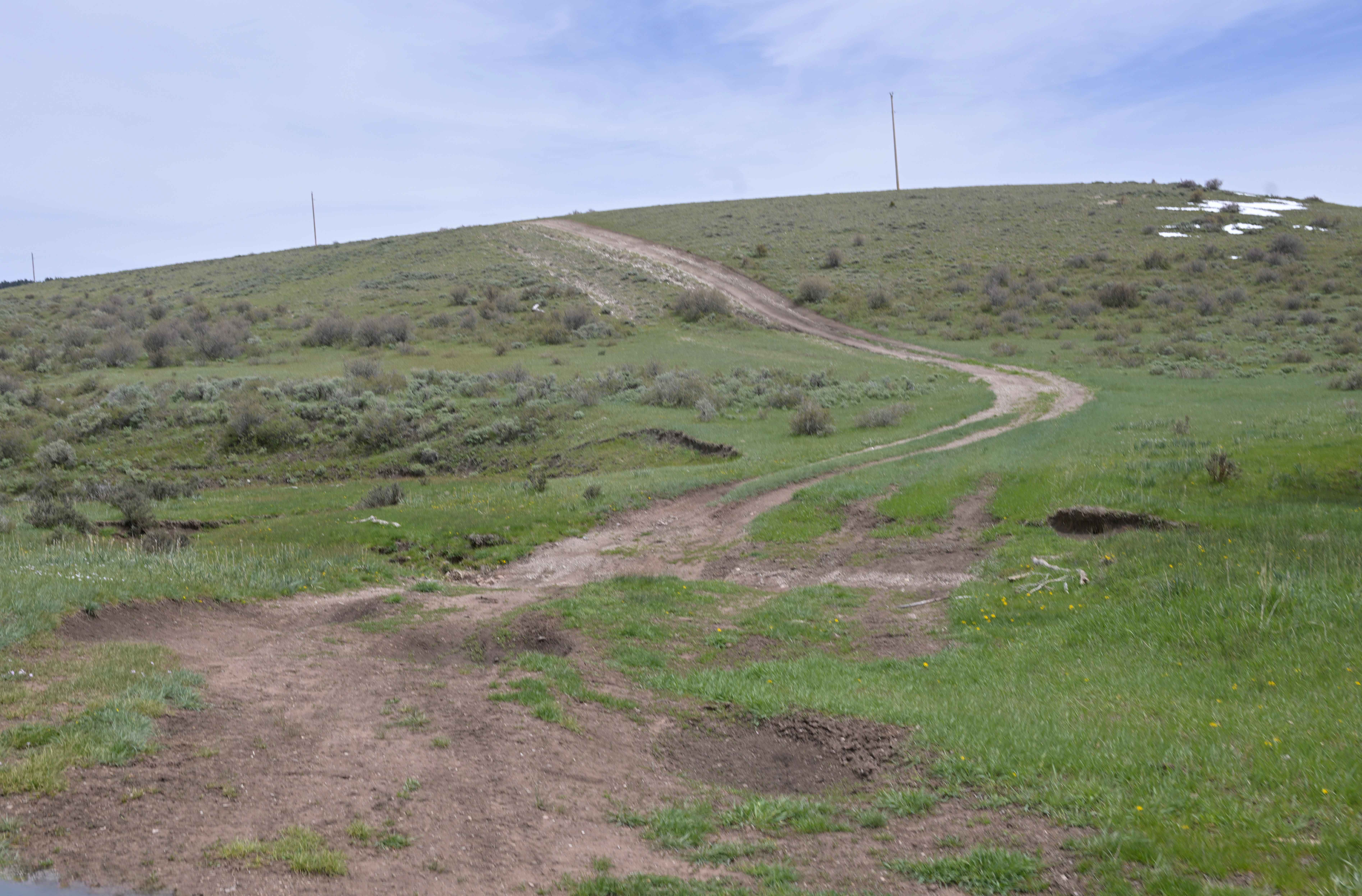
Trail Overview
Limestone Ridge/FR10257 is an easy out-and-back trail rated 2/10 in the Ashley National Forest. It starts as a wide two-track path but gradually narrows and becomes rockier as it heads north. The final stretch winds through tightly spaced trees, demanding precise navigation for full-sized vehicles. Following the contours of Limestone Ridge, the route features small challenges like a loose rocky shelf and some deeply rutted hill climbs. It ends at its highest point, offering stunning views of the surrounding valley.
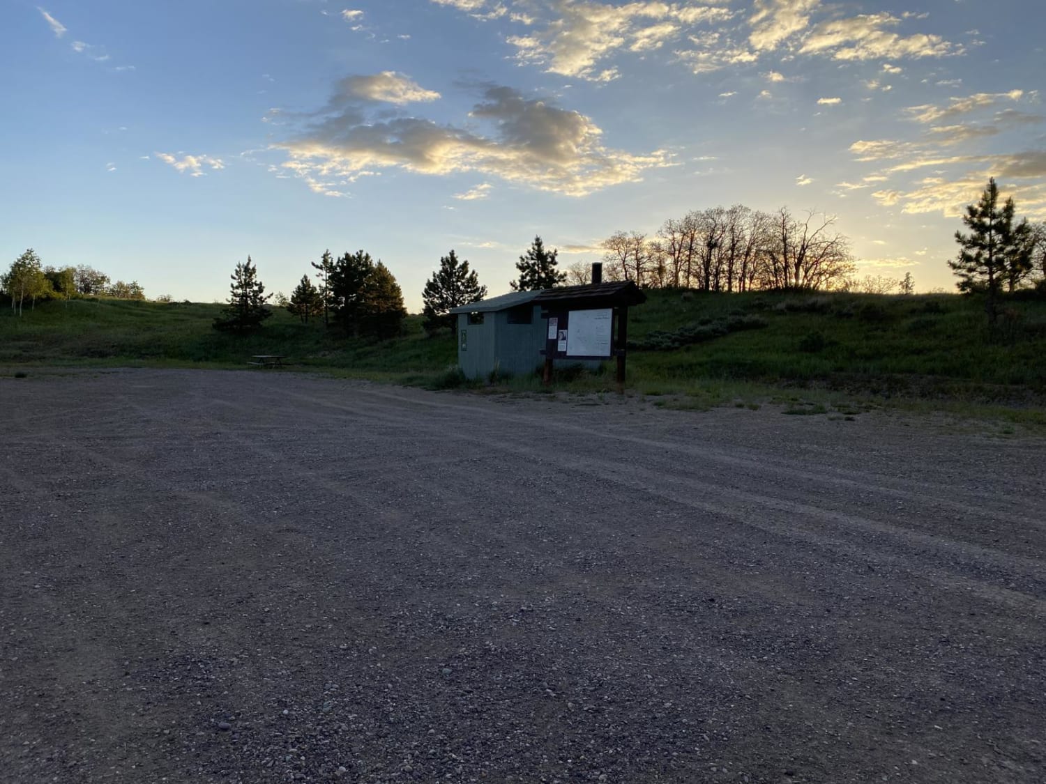
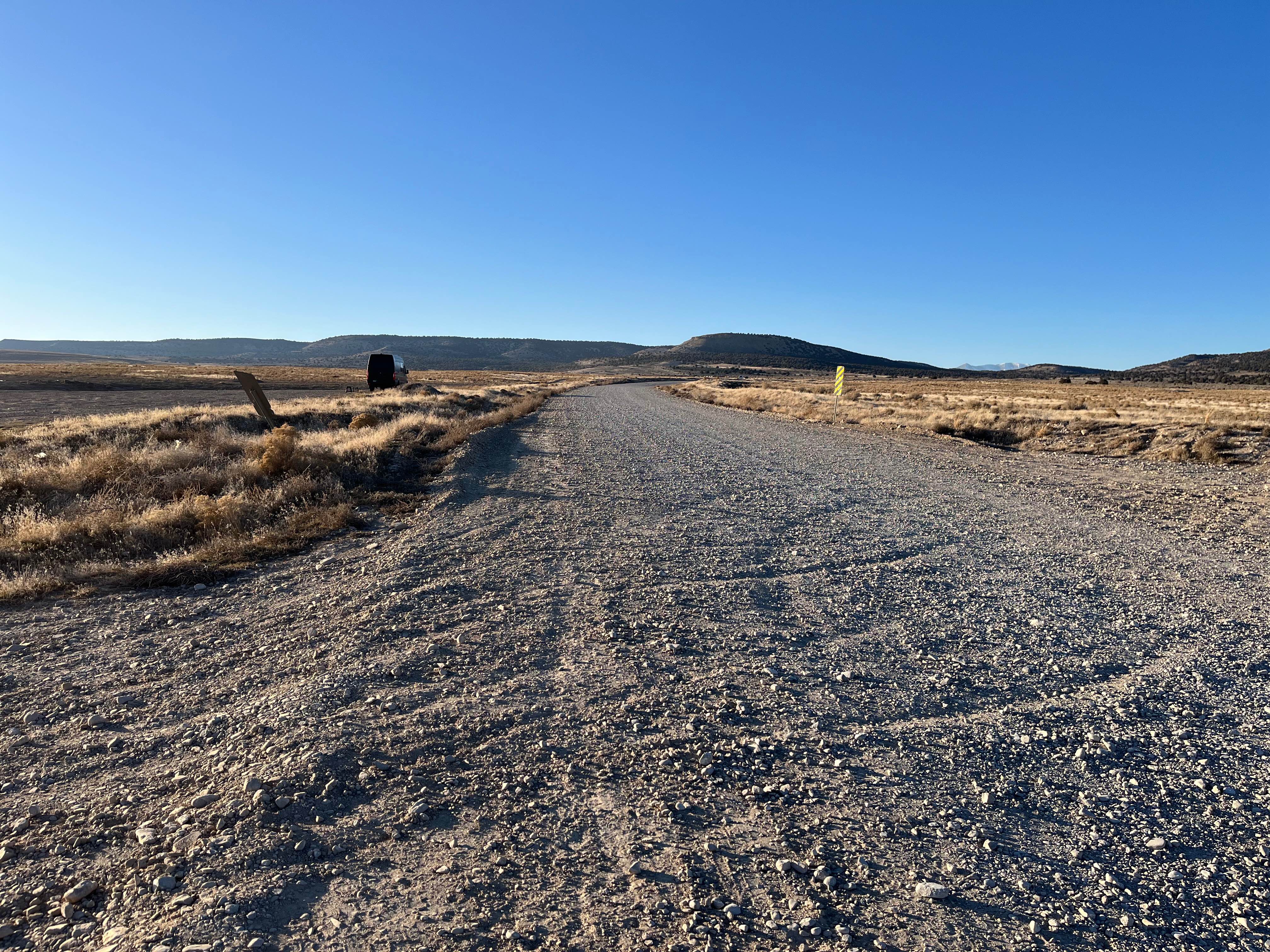
Photos of Limestone Ridge/FR10257
Difficulty
Rated 2 due to obstacles including loose rocky sections, ruts, and technical sections.
Status Reports
Limestone Ridge/FR10257 can be accessed by the following ride types:
- High-Clearance 4x4
- SUV
- SxS (60")
- ATV (50")
- Dirt Bike
Limestone Ridge/FR10257 Map
Popular Trails

Oak Ridge Road
Soldier Pass Road

The Pickle
The onX Offroad Difference
onX Offroad combines trail photos, descriptions, difficulty ratings, width restrictions, seasonality, and more in a user-friendly interface. Available on all devices, with offline access and full compatibility with CarPlay and Android Auto. Discover what you’re missing today!