Dip Gulch Road
Total Miles
1.4
Technical Rating
Best Time
Fall, Summer
Trail Type
High-Clearance 4x4 Trail
Accessible By
Trail Overview
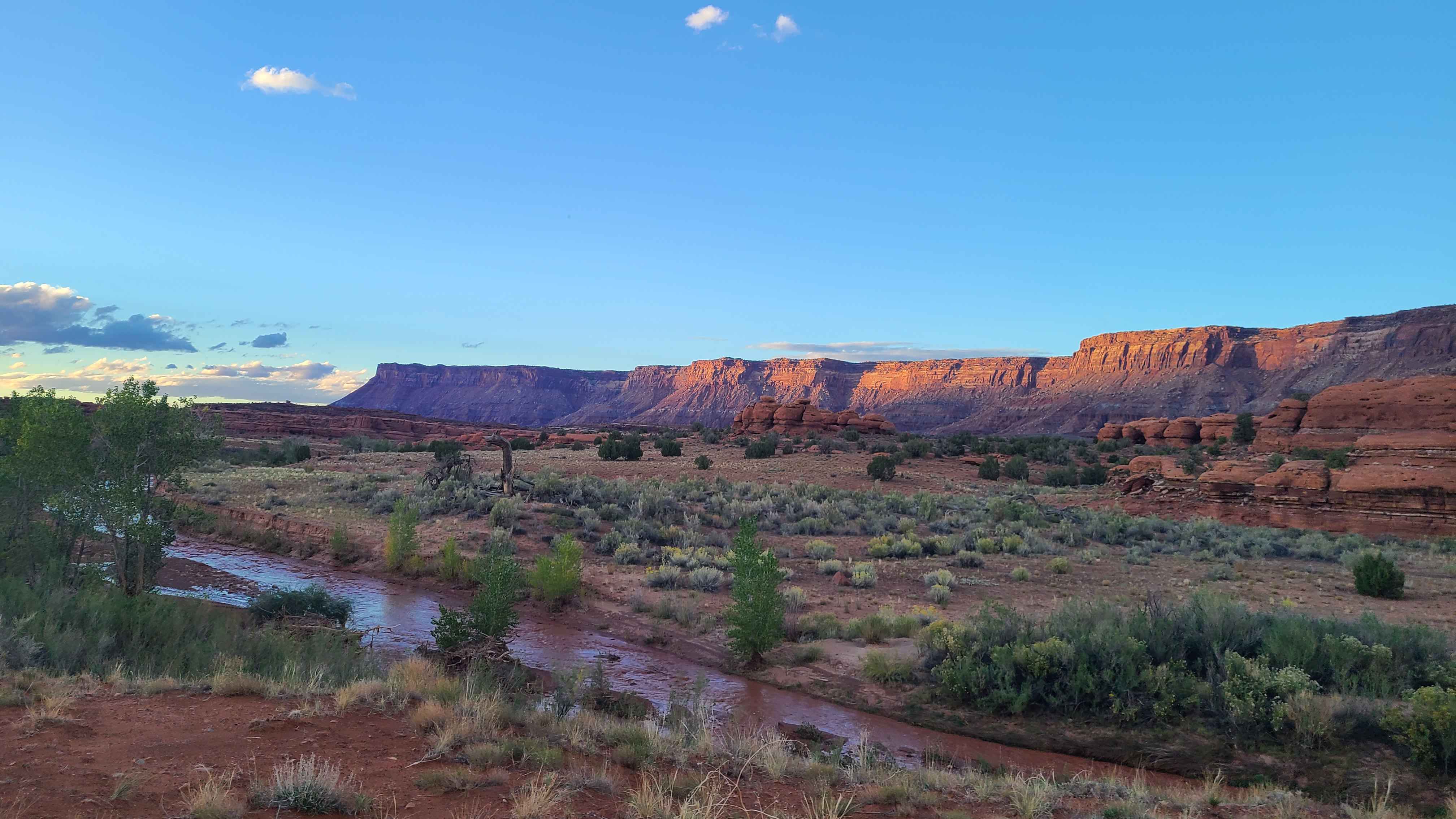
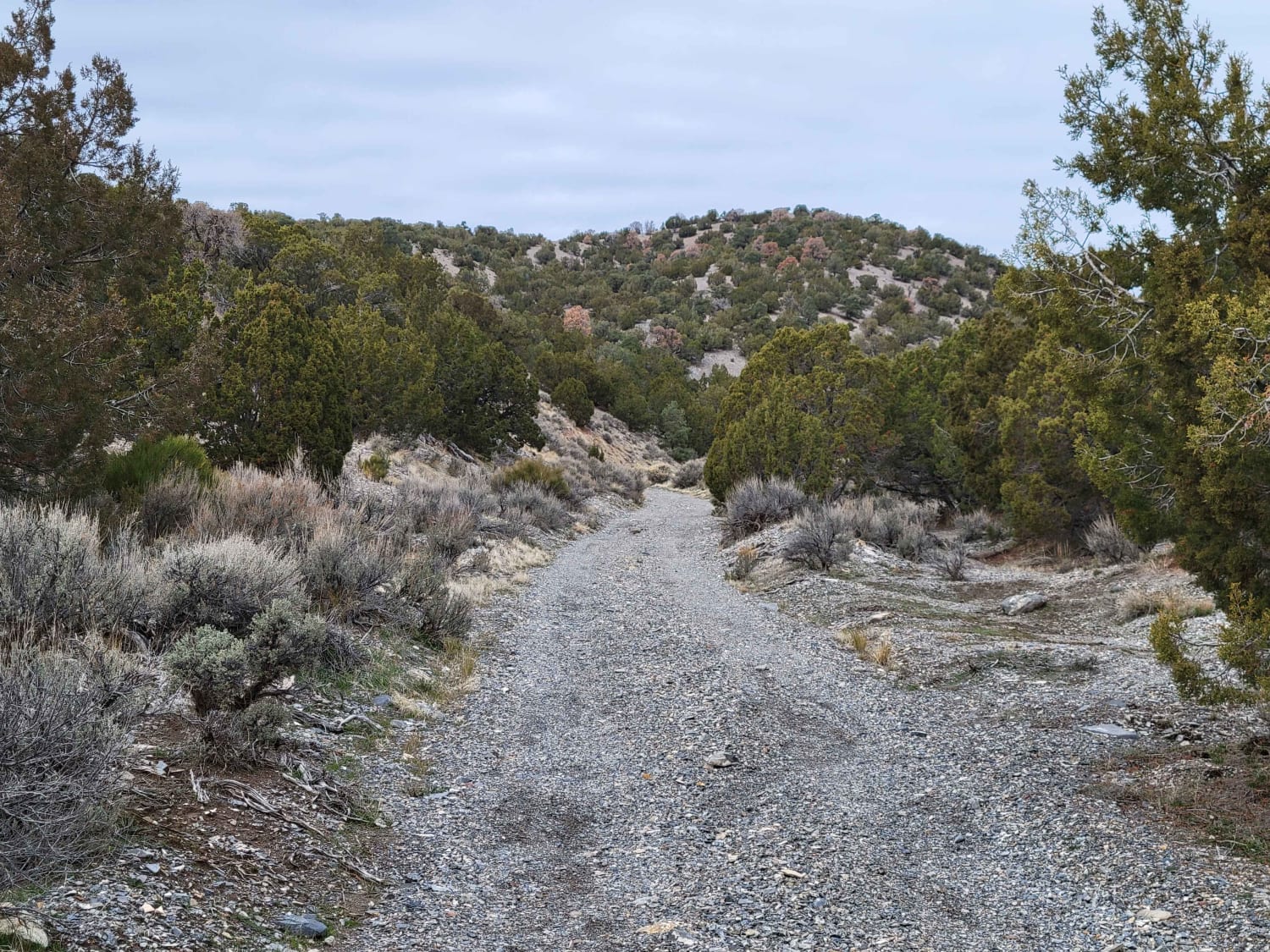
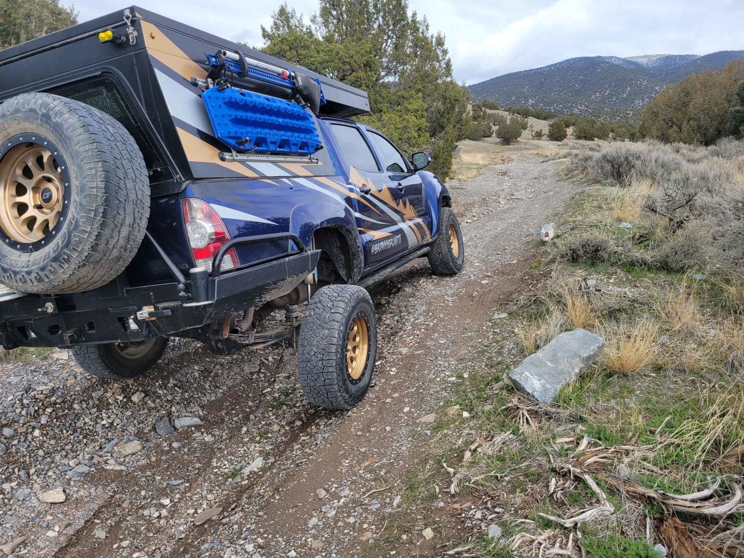
This trail starts out as easy and unassuming but quickly offers some challenges. Water erosion has created some deep gouges on the trail, making for off-camber sections. The further up trail you travel, the more narrow and less tracked it becomes. If you take a vehicle up there, expect to have vegetation brush the rig (scratches). Smaller machines are recommended the higher up you travel. The views down the canyon that overlook the Tooele Valley are beautiful. Scattered primitive campsites exist at the bottom/start of the trail.
Photos of Dip Gulch Road
Difficulty
This trail starts out as easy and unassuming, but quickly offers some challenge. Water erosion has created some deep gouges on the trail, making for off-camber sections. The further up trail you travel, the more narrow and less tracked it becomes. If you take a vehicle up there, expect to have vegetation brush the rig (scratches). Smaller machines are recommended the higher up you travel. The views down canyon that overlook the Tooele Valley are beautiful. Scattered primitive campsites exist at the bottom/start of the trail.
History
A distant memory of the Old West, Mercur became one of Utah's first mining districts in 1893. At one point, the town was home to well over 5,000 people. However, in 1902 a fire ravaged the town and it never recovered. By 1913, the last mine closed.
Status Reports
Dip Gulch Road can be accessed by the following ride types:
- High-Clearance 4x4
- SxS (60")
- ATV (50")
- Dirt Bike
Dip Gulch Road Map
Popular Trails

Parker Mountain 1-21

Slow Elk Wash Road-TC02850

Ripple Valley Road 2.0

Hamburgler - BLM D1453/D1455
The onX Offroad Difference
onX Offroad combines trail photos, descriptions, difficulty ratings, width restrictions, seasonality, and more in a user-friendly interface. Available on all devices, with offline access and full compatibility with CarPlay and Android Auto. Discover what you’re missing today!

