6 Bit Springs Road
Total Miles
1.9
Technical Rating
Best Time
Summer, Fall
Trail Type
Full-Width Road
Accessible By
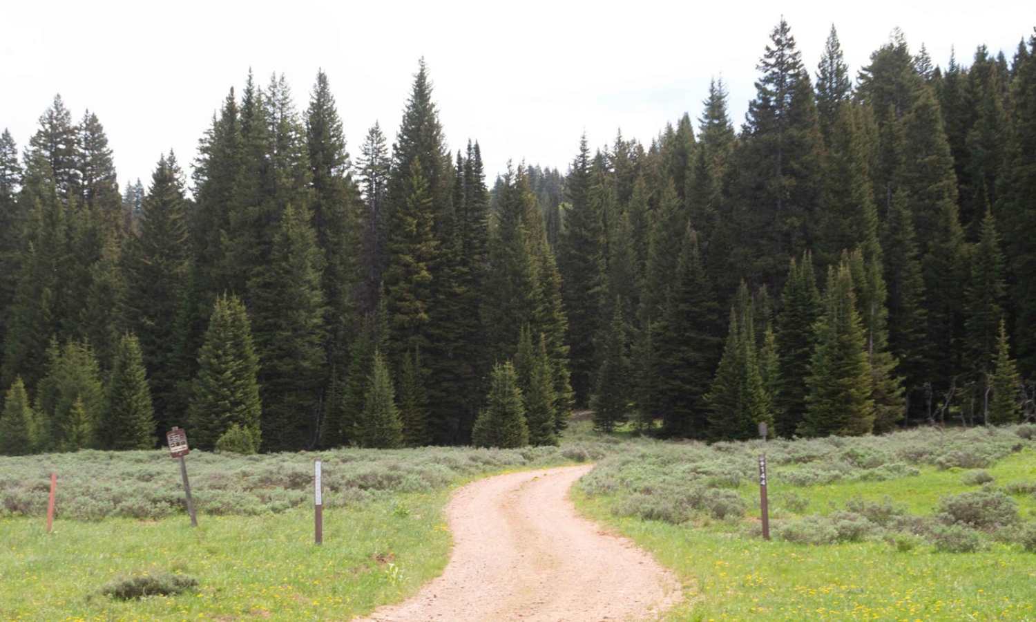
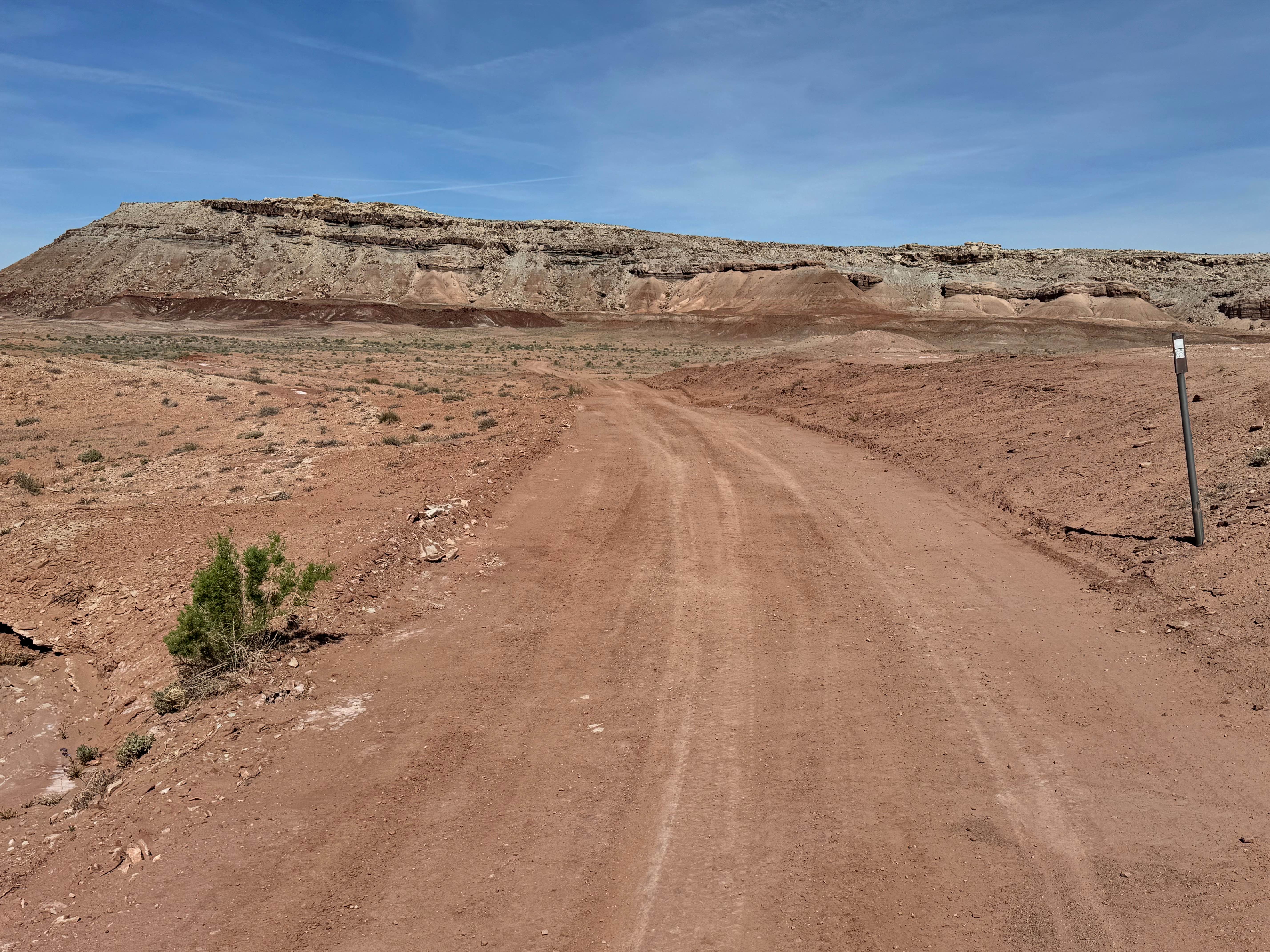
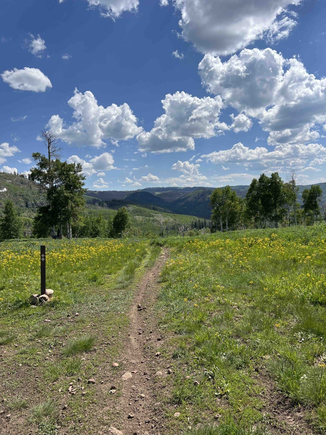
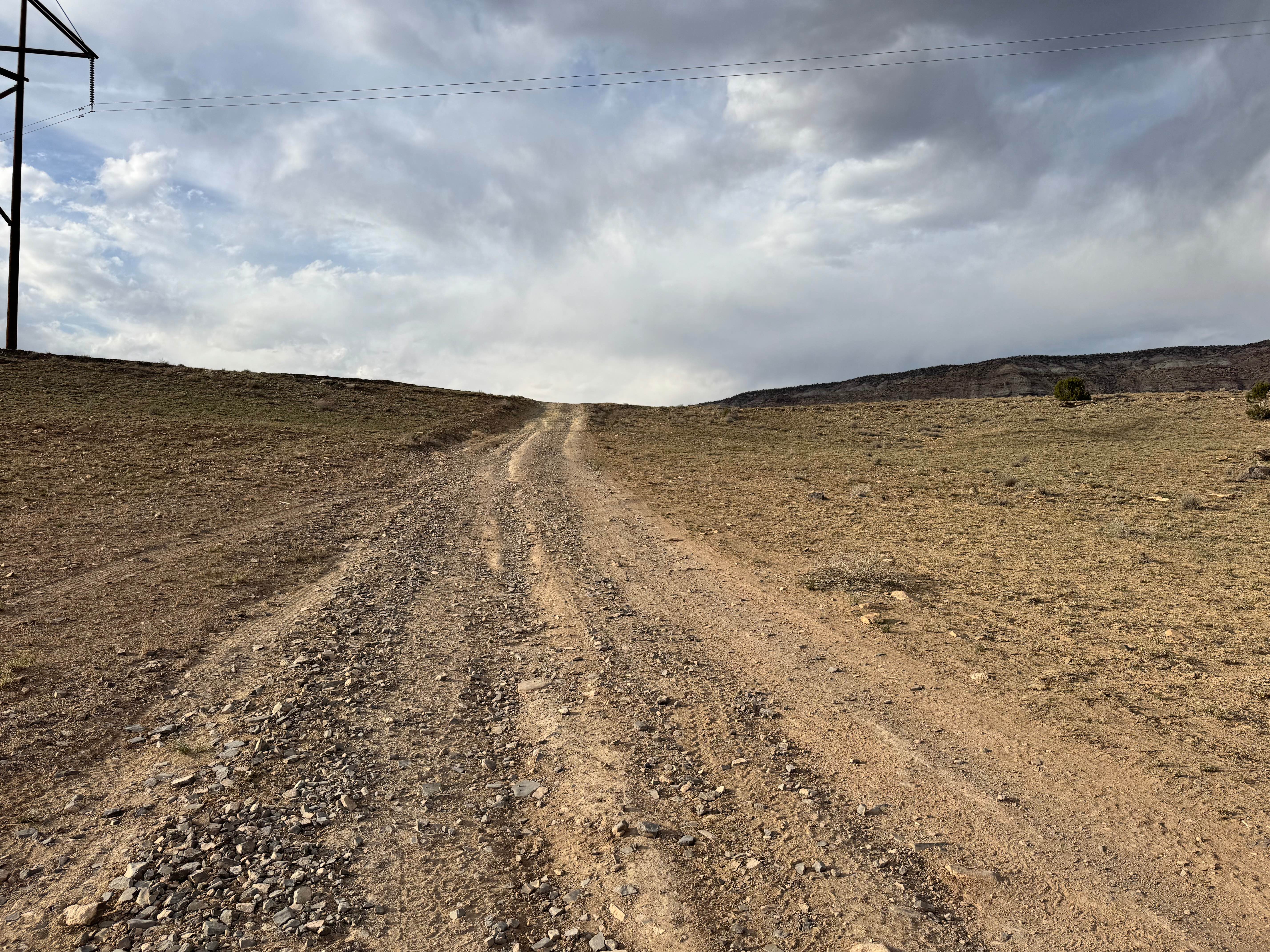
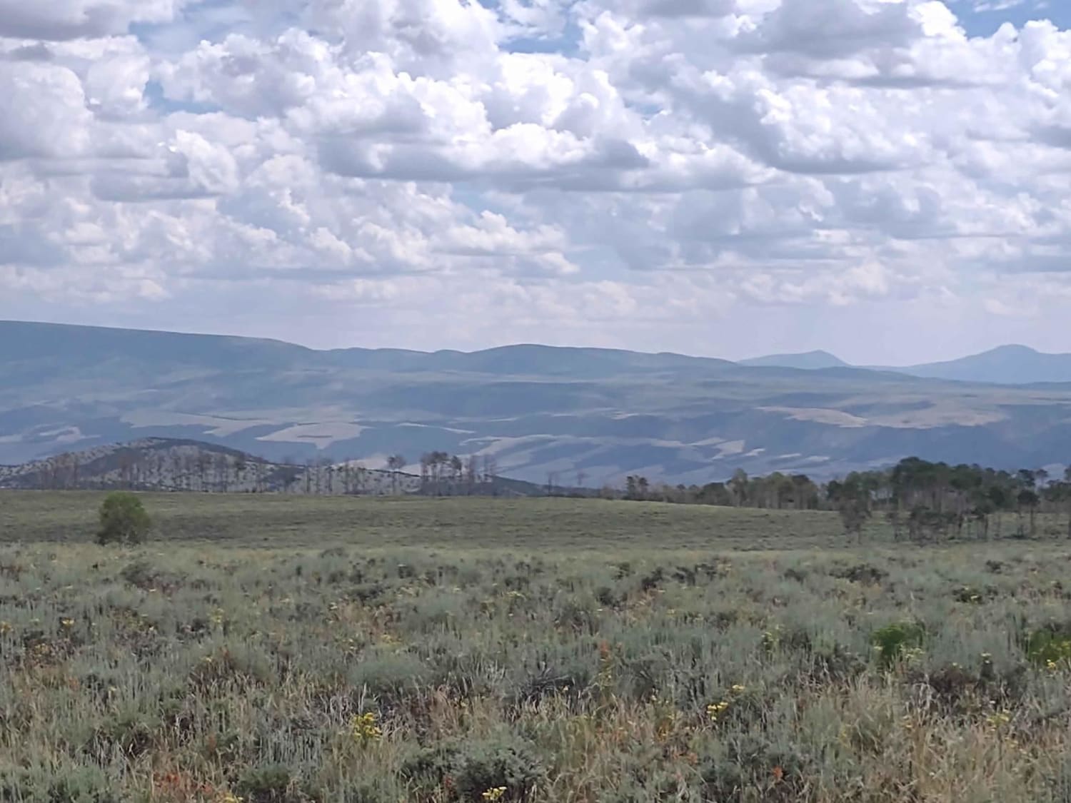
Trail Overview
This is a short 2 mile trail that branches off of Curtis Creek Road and goes to the trailhead for the hike to 6 Bit Springs. The trail is wide enough for one vehicle and has some shallow ruts but is a little overgrown once you pass the turn for Running Water Springs Road. This trail dead ends at a gate marking the road past it as admin only where there is enough room to turn around or pull off to park and hike to 6 bit springs. This trail is open year-round but is inaccessible during the winter and spring due to snow and may be impassable due to rain. There is one spot about 1.8 miles into the trail where there is a fork in the road, be sure to stay right at the fork going down and left going back up, the other road dead ends and isn't a forest service road.
Photos of 6 Bit Springs Road

Difficulty
No major obstacles but it is a skinny road with few places to pass and some small ruts
Status Reports
6 Bit Springs Road can be accessed by the following ride types:
- High-Clearance 4x4
- SUV
- SxS (60")
- ATV (50")
- Dirt Bike
6 Bit Springs Road Map
Popular Trails
Salt Wash Trail
Willow Hollow Ridge
Little Hole Cutoff
Box Creek Spur (FS 42456, 41232, 41223)
The onX Offroad Difference
onX Offroad combines trail photos, descriptions, difficulty ratings, width restrictions, seasonality, and more in a user-friendly interface. Available on all devices, with offline access and full compatibility with CarPlay and Android Auto. Discover what you’re missing today!