510
Total Miles
2.1
Technical Rating
Best Time
Spring, Summer, Fall, Winter
Trail Type
Single Track
Accessible By
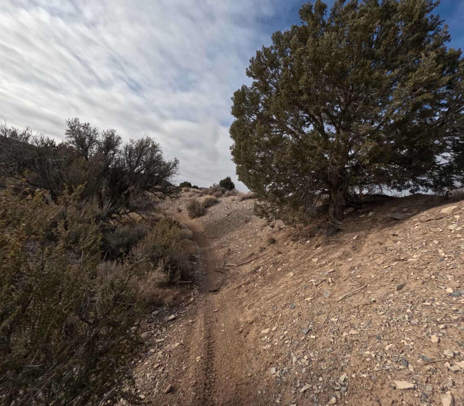
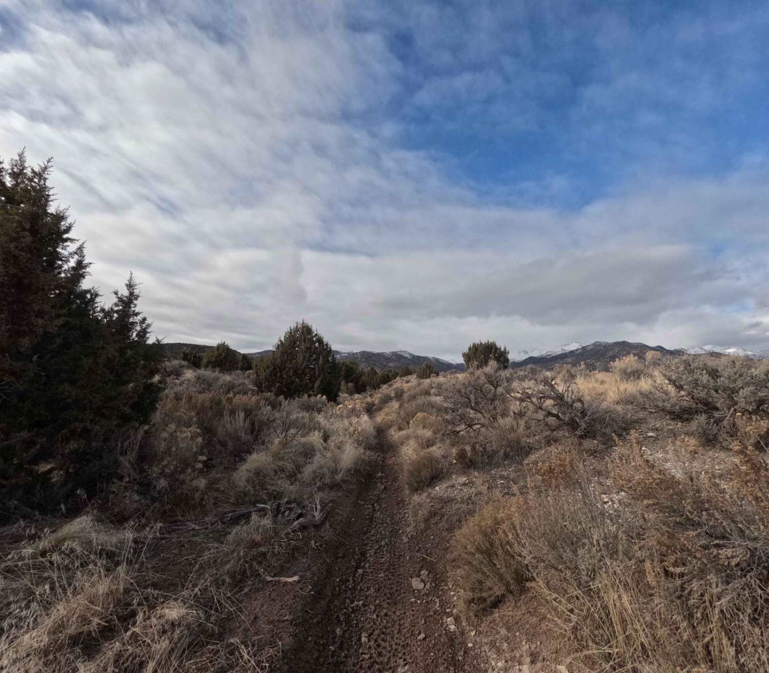
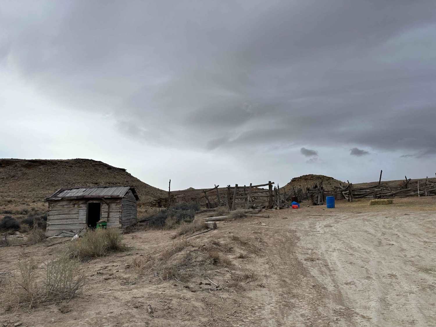
Trail Overview
The 510 trail begins at the intersection of 506 and 509. It's 2.3 miles long and travels North before heading East and ending at a dirt access road off of Manning Canyon Road. The trail starts in a valley that quickly becomes a tighter ravine. The ground surface begins as dirt but changes to loose golf and baseball-sized rocks as you gain ~500 ft of elevation. About halfway through, the trail is slightly overgrown with downed trees and branches. After this, it opens to flowy sage brush riding and ends in a small drainage ditch.
Photos of 510
Difficulty
Rocky ground and a right trail increase the rating on this slightly.
Status Reports
510 can be accessed by the following ride types:
- Dirt Bike
510 Map
Popular Trails
Washington Lake Trail
Green River to Smith's Cabin

Ripple Valley Road 2.0
The onX Offroad Difference
onX Offroad combines trail photos, descriptions, difficulty ratings, width restrictions, seasonality, and more in a user-friendly interface. Available on all devices, with offline access and full compatibility with CarPlay and Android Auto. Discover what you’re missing today!