V-33 Wright's Way
Total Miles
0.2
Technical Rating
Best Time
Spring, Summer, Fall, Winter
Trail Type
Full-Width Road
Accessible By
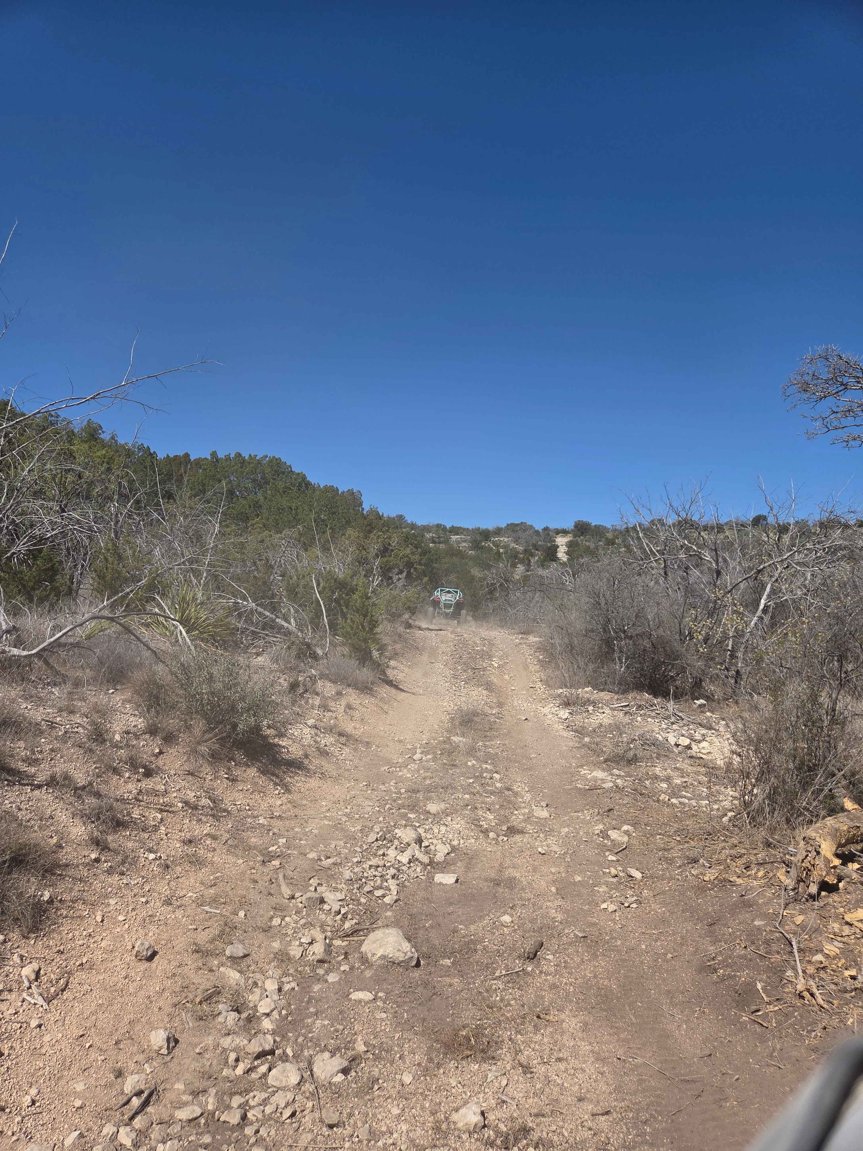
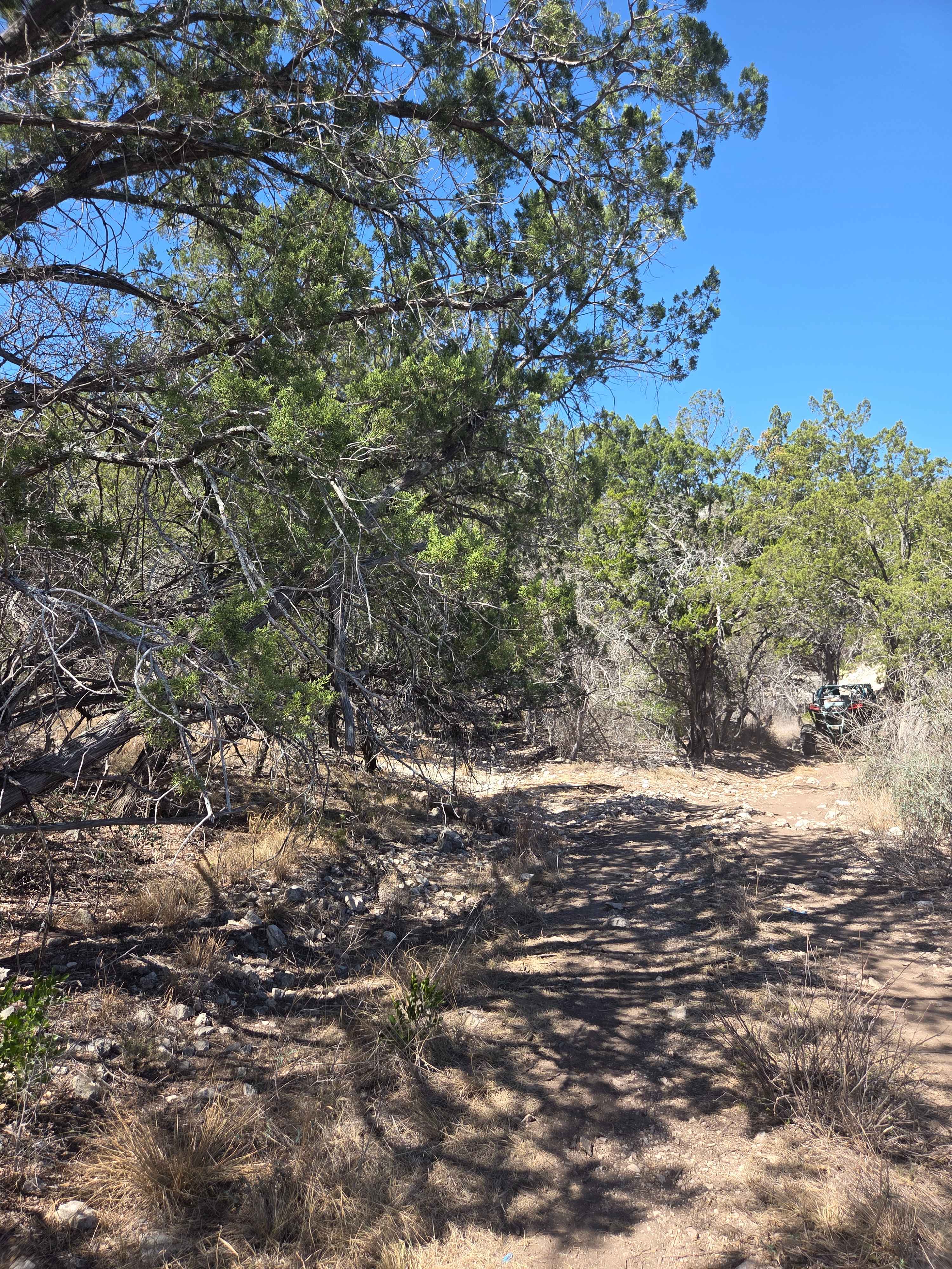
Trail Overview
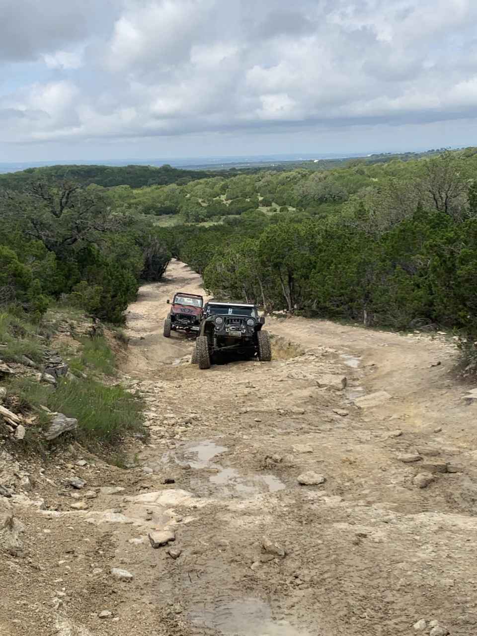
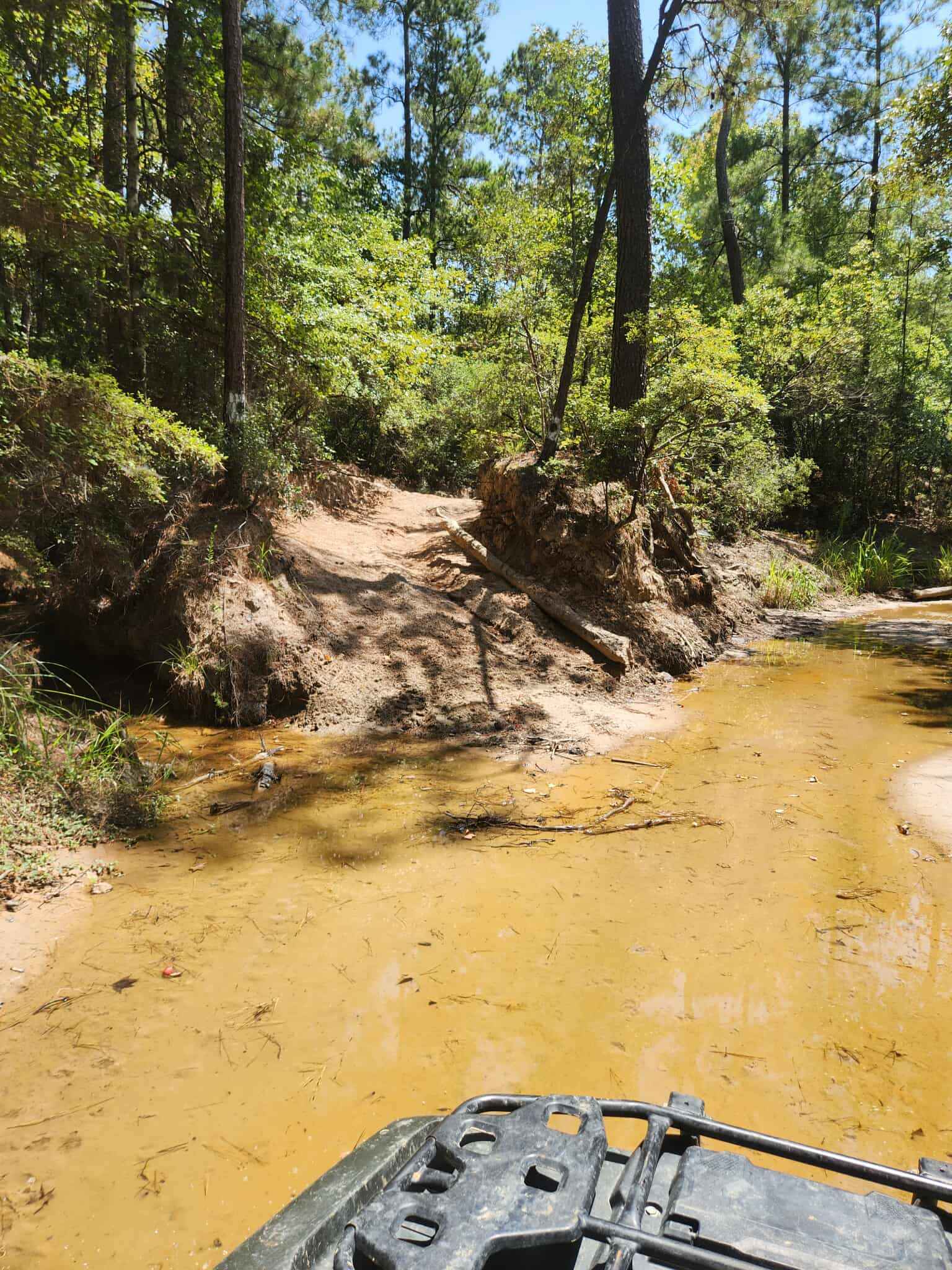
V-33 Wright's Way is primarily used as a bypass line, as it is one of the easier trails compared to the surrounding routes. The trail is relatively short and begins as a dirt road before gradually transitioning into a brief section through the trees. As you continue, you will encounter a moderately steep hill climb that leads into a series of stair-stepped ledges, some reaching up to approximately 3 feet in height. The climb is covered in loose rock that can shift under your vehicle, creating a higher risk of losing traction. When riding in a group, this line should be taken 1 at a time, with all other drivers staging at the bottom of the hill climb. Watch out for loose rocks tumbling down to the start of the hill climb.
Photos of V-33 Wright's Way
Difficulty
Steep elevation gain, loose rocks, and frequent stair-stepped ledges define this trail. Ledges vary in height, with the tallest reaching about 3 feet. Maintaining momentum through the initial climb and the 1st set of ledges is critical due to reduced traction on loose surfaces. Once past the 1st set of stair steps, the loose rock thins out, making the trail easier to drive on past that section.
Status Reports
V-33 Wright's Way can be accessed by the following ride types:
- High-Clearance 4x4
- SUV
- SxS (60")
- ATV (50")
- Dirt Bike
V-33 Wright's Way Map
Popular Trails
Old Bryant Station Bridge Road
Spring Fed Creek

Huckleberry
The onX Offroad Difference
onX Offroad combines trail photos, descriptions, difficulty ratings, width restrictions, seasonality, and more in a user-friendly interface. Available on all devices, with offline access and full compatibility with CarPlay and Android Auto. Discover what you’re missing today!