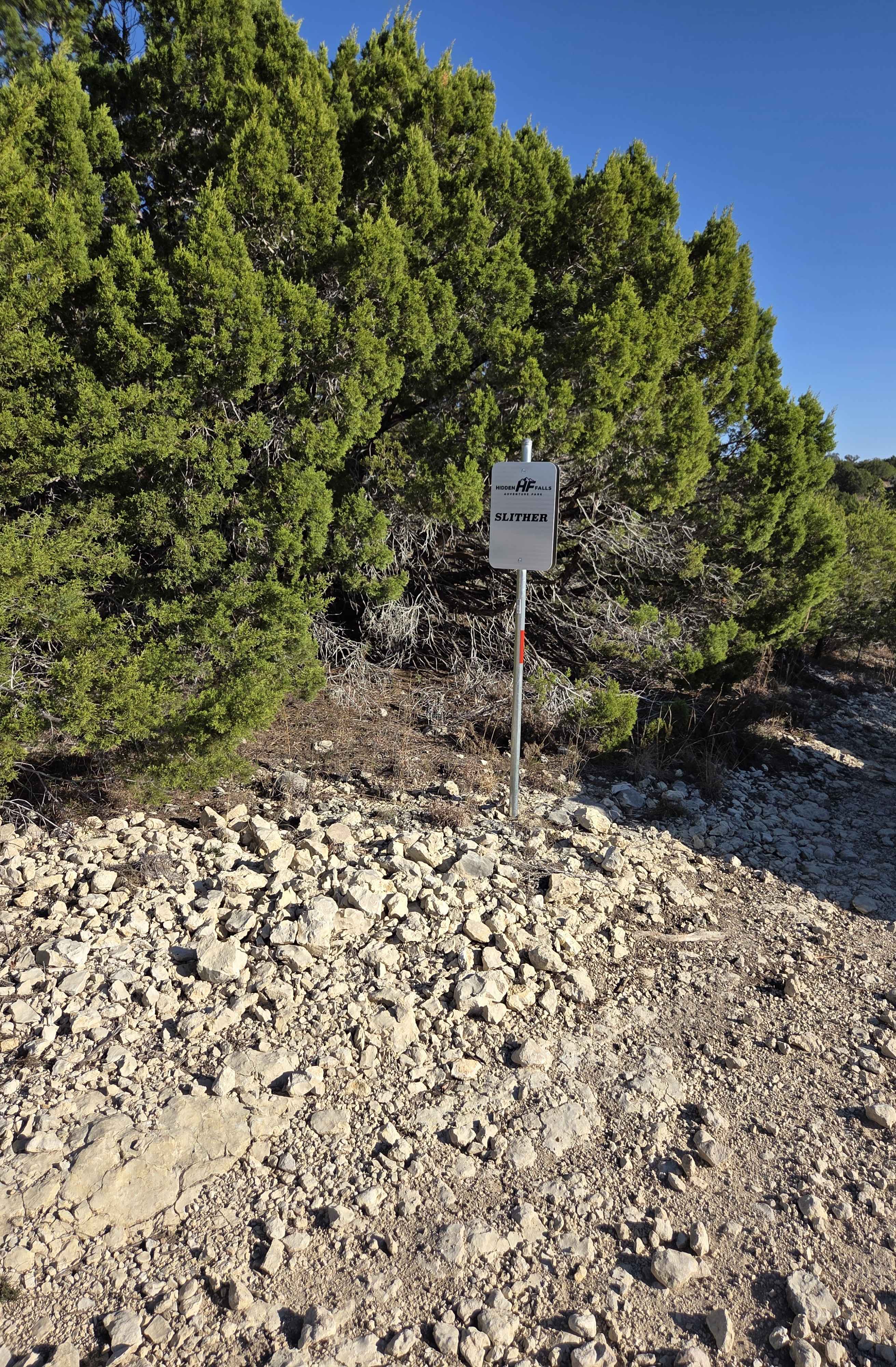
Slither
Total Miles
0.1
Technical Rating
Best Time
Spring, Summer, Fall, Winter
Trail Type
Full-Width Road
Accessible By
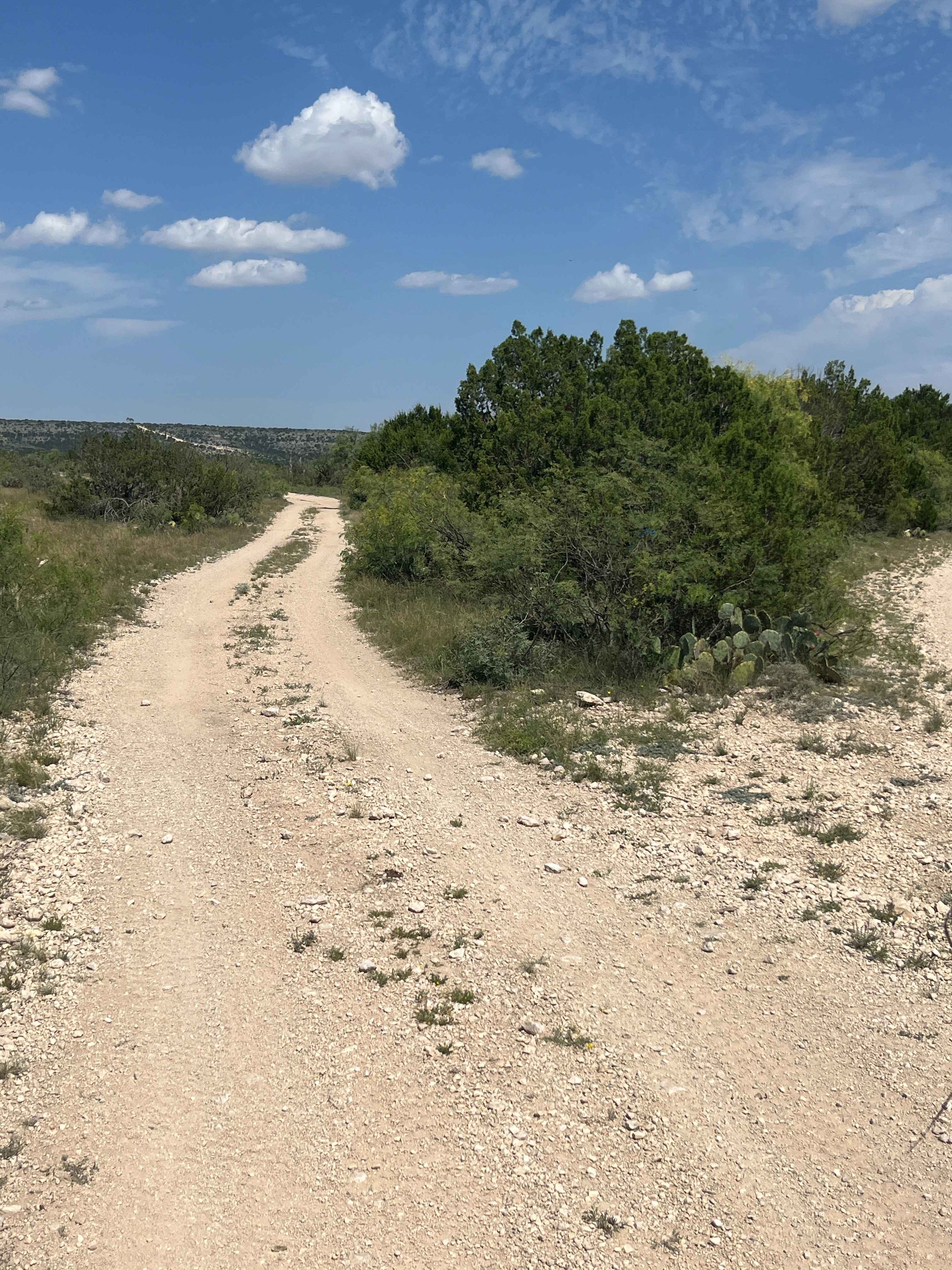
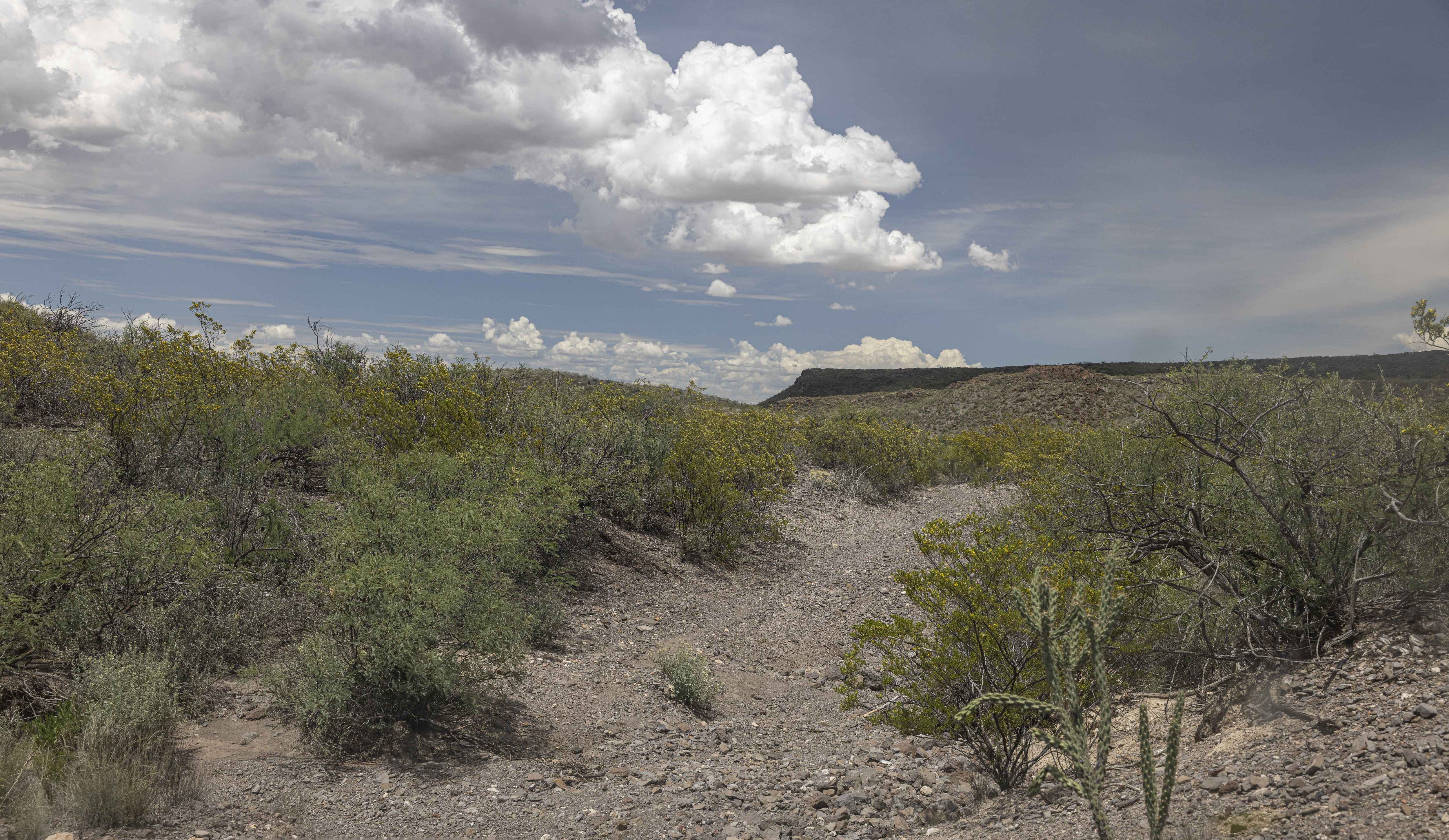
Trail Overview
Slither is a Y-shaped trail that connects Turkey Creek to Park Road 2. Drivers should expect tight, technical turns through dense trees, multiple rock ledge obstacles, and one significant washout along the route. Rock ledges throughout the trail typically range from two to three feet tall and may involve either elevation gain or loss, depending on the direction of travel. Trail entrances begin as hard-packed dirt before gradually transitioning into more challenging terrain. While no designated bypasses are available, the trail offers multiple line choices in several sections, with some routes presenting greater difficulty than others. Pinstriping and potential tree contact are likely.
Photos of Slither

Difficulty
This trail is technical and demanding, featuring tight tree-lined turns, multiple 2 to 3-foot-tall rock ledges, and 1 significant washout. Elevation changes add difficulty in both directions. Careful line selection is required, as bypasses are not available and vehicle damage is possible.
Slither can be accessed by the following ride types:
- High-Clearance 4x4
- SUV
- SxS (60")
- ATV (50")
- Dirt Bike
Slither Map
Popular Trails
Ridgeline Trail - V35

BBRSP Cerro Prietto Windmill Road
Bluebonnet Gang
The onX Offroad Difference
onX Offroad combines trail photos, descriptions, difficulty ratings, width restrictions, seasonality, and more in a user-friendly interface. Available on all devices, with offline access and full compatibility with CarPlay and Android Auto. Discover what you’re missing today!