Mud to Sand Hills
Total Miles
0.8
Technical Rating
Best Time
Spring, Summer, Fall, Winter
Trail Type
Full-Width Road
Accessible By
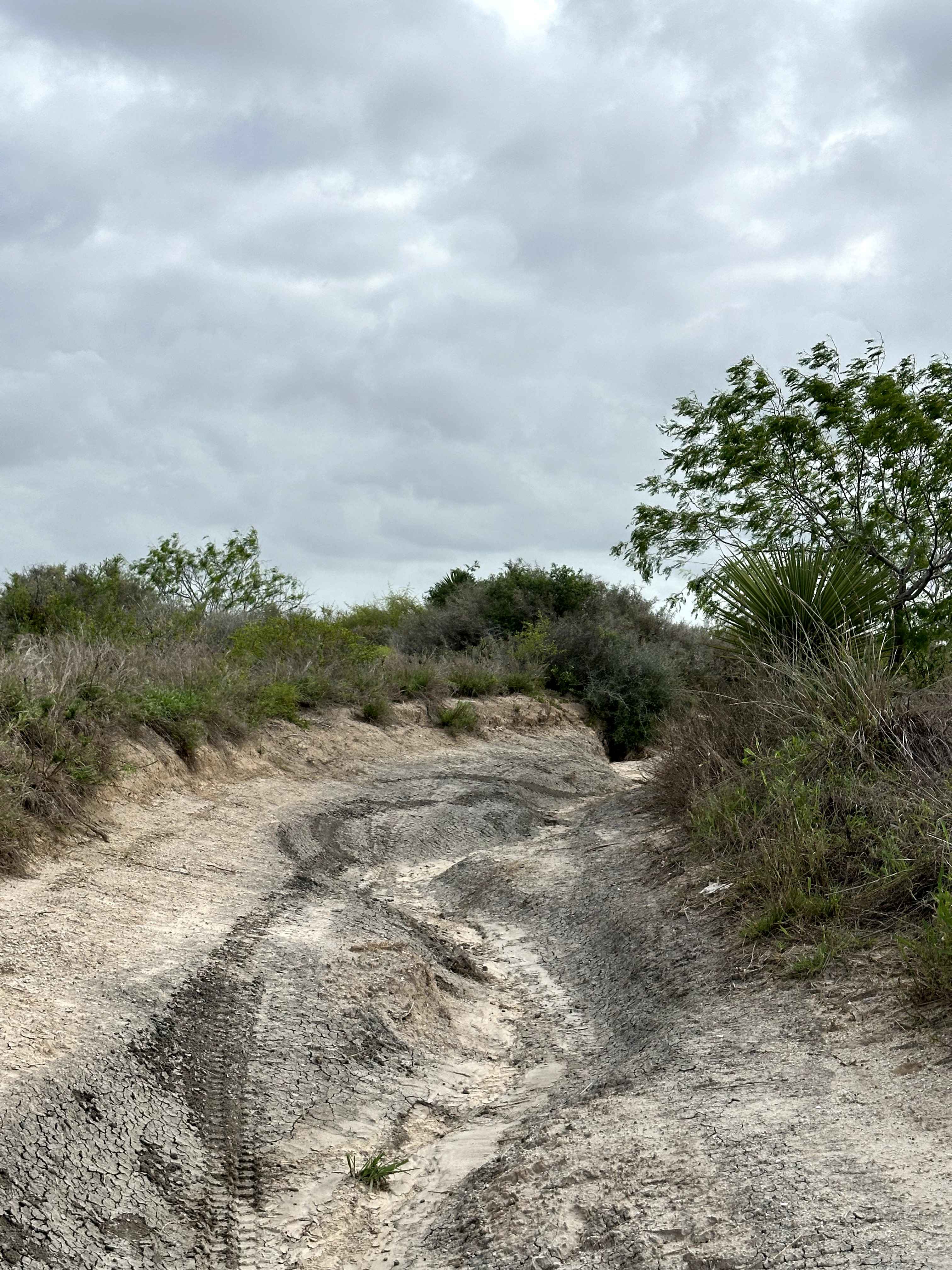
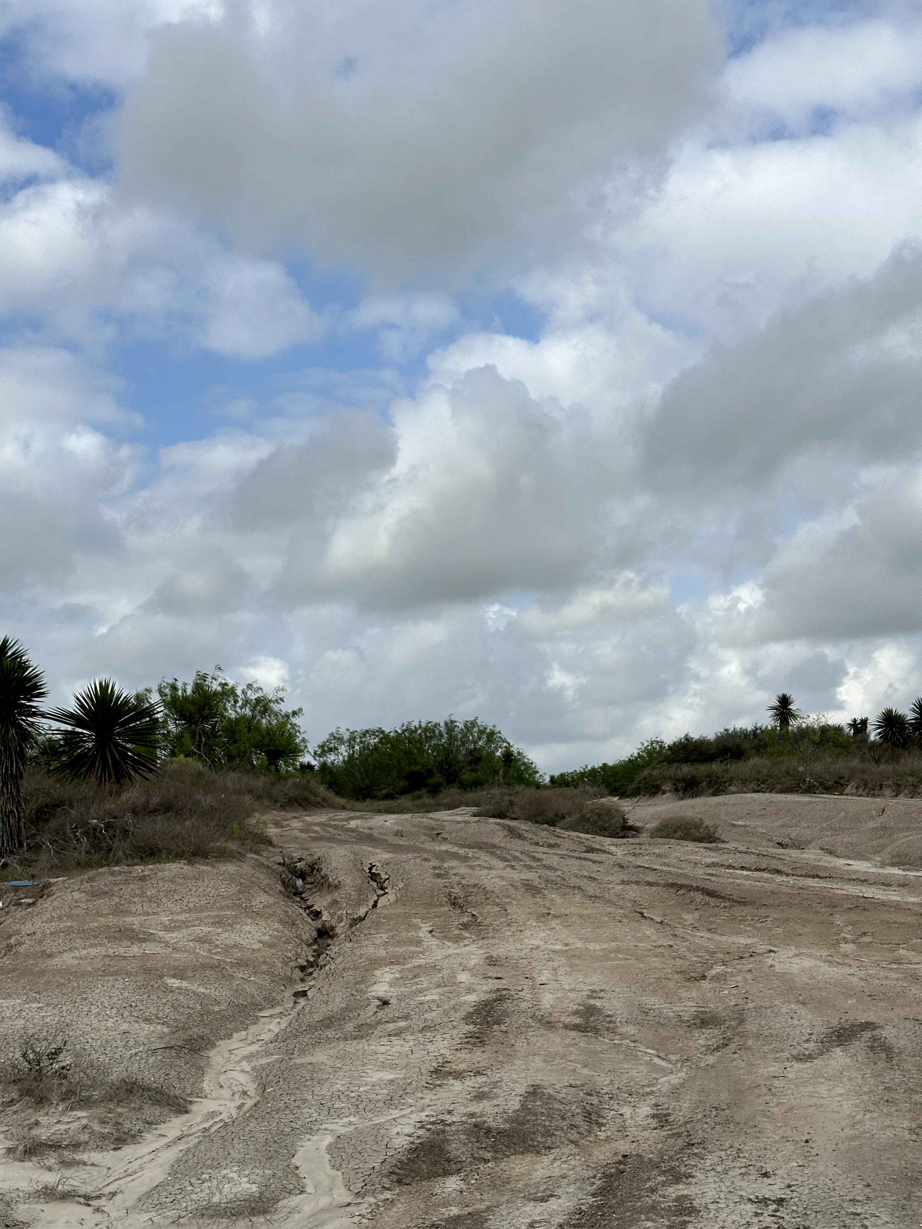
Trail Overview
Mud to Sand Hills is a coastal trail off Highway 48 that starts in tight, brushy terrain with sections of dense vegetation and cacti. The route follows a dirt path with stretches of heavy clay mud before opening up into a more exposed area with small sand hills. As the trail progresses, it transitions from enclosed brush to a more open landscape near the ship channel, offering a change in scenery along the way.
Photos of Mud to Sand Hills
Difficulty
On this trail, you'll find a dirt surface mixed with heavy clay mud that can become very slick and difficult to drive, especially after rain. The route includes tight brush, small ruts, and an off-camber section that can affect stability. Muddy areas can hold water and significantly reduce traction, requiring proper tire placement and momentum. The combination of mud, uneven terrain, and tighter sections requires a 4x4 and adequate ground clearance. Overall, this trail is moderate and can become more difficult in wet conditions.
Status Reports
Mud to Sand Hills can be accessed by the following ride types:
- High-Clearance 4x4
- SUV
- SxS (60")
- ATV (50")
- Dirt Bike
Mud to Sand Hills Map
Popular Trails
Bosque 1035
L and B Turnpike


Hippie Hollow
The onX Offroad Difference
onX Offroad combines trail photos, descriptions, difficulty ratings, width restrictions, seasonality, and more in a user-friendly interface. Available on all devices, with offline access and full compatibility with CarPlay and Android Auto. Discover what you’re missing today!