Magnolia - FS 219
Total Miles
3.8
Technical Rating
Best Time
Spring, Summer, Fall, Winter
Trail Type
Full-Width Road
Accessible By
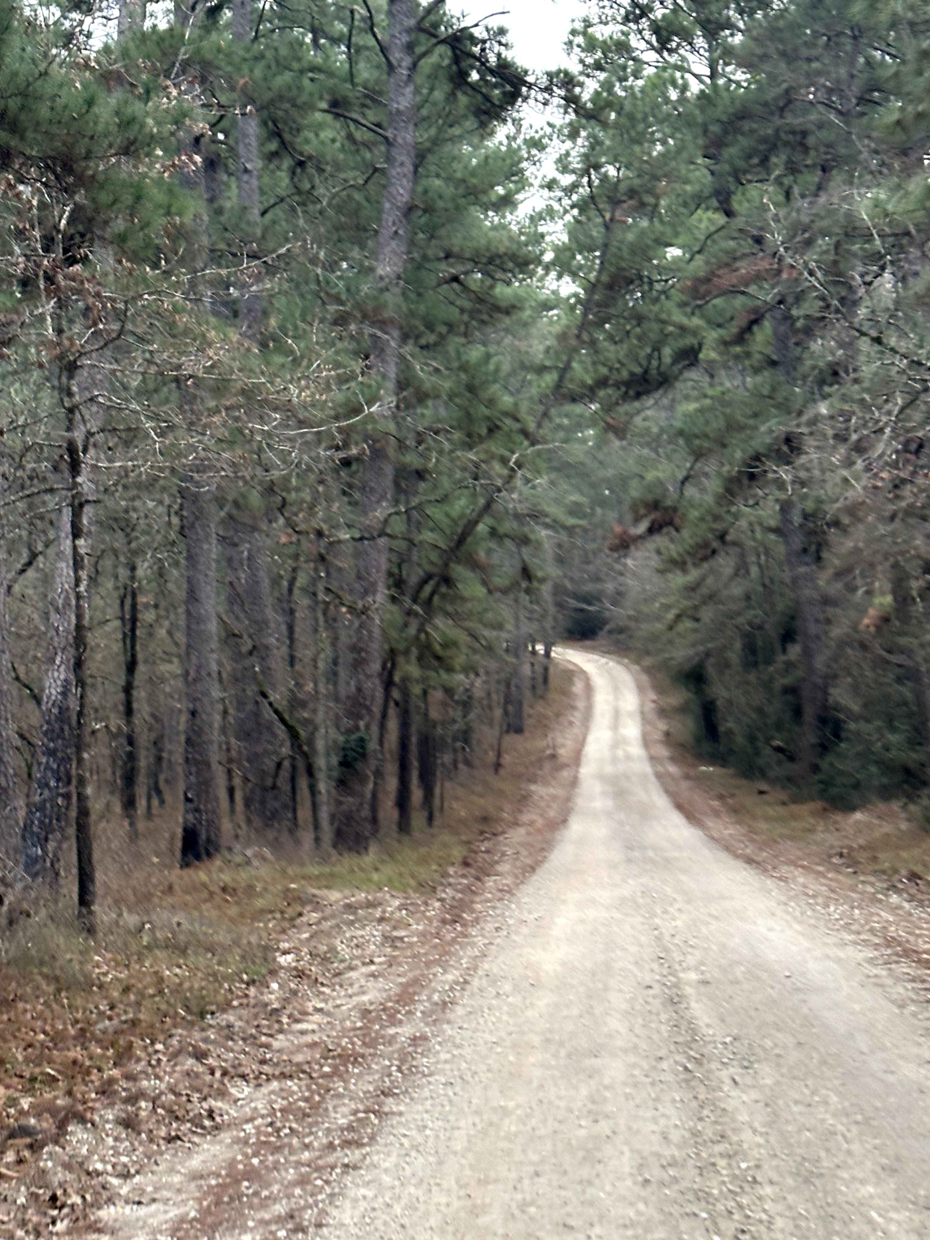
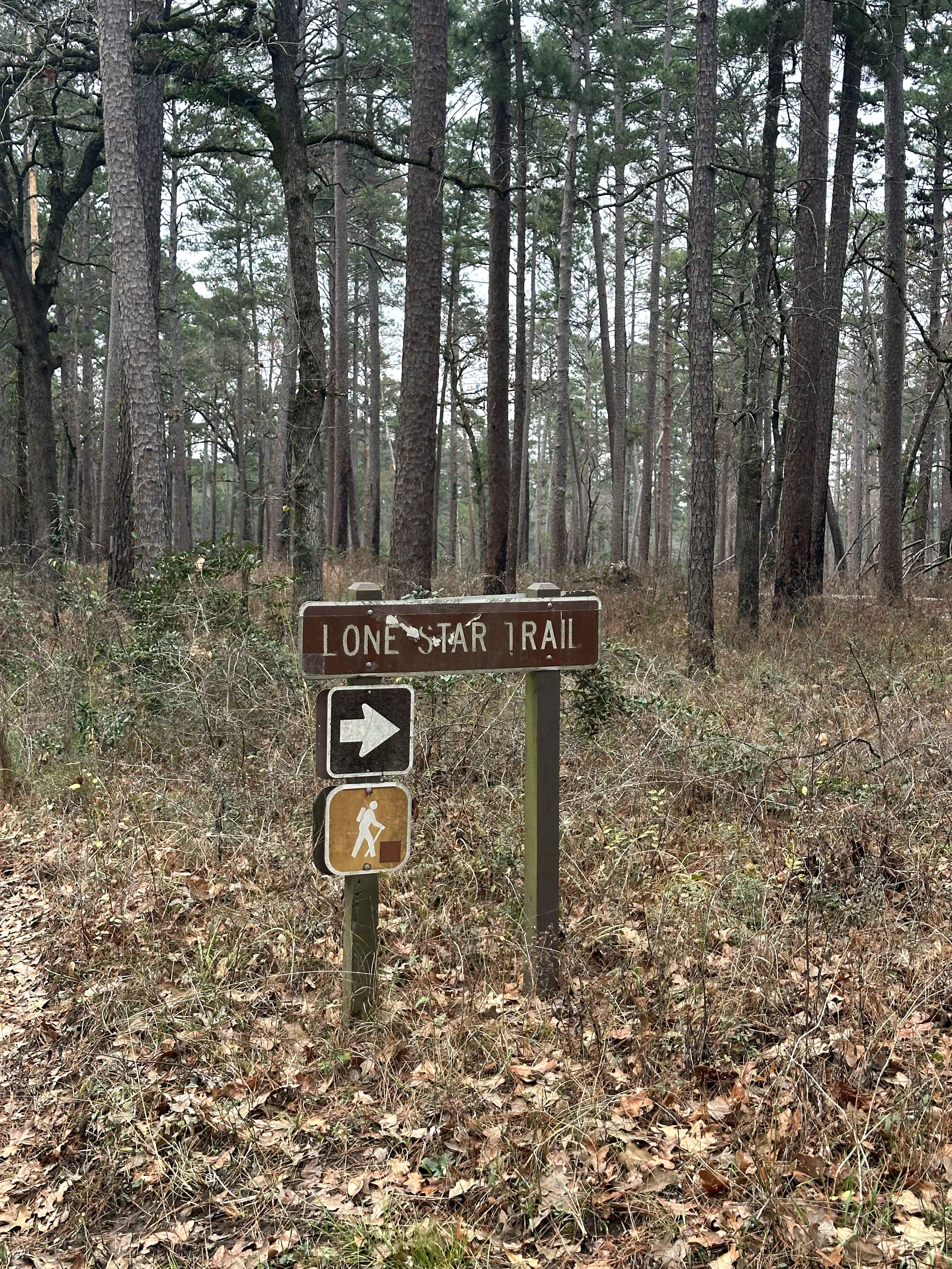
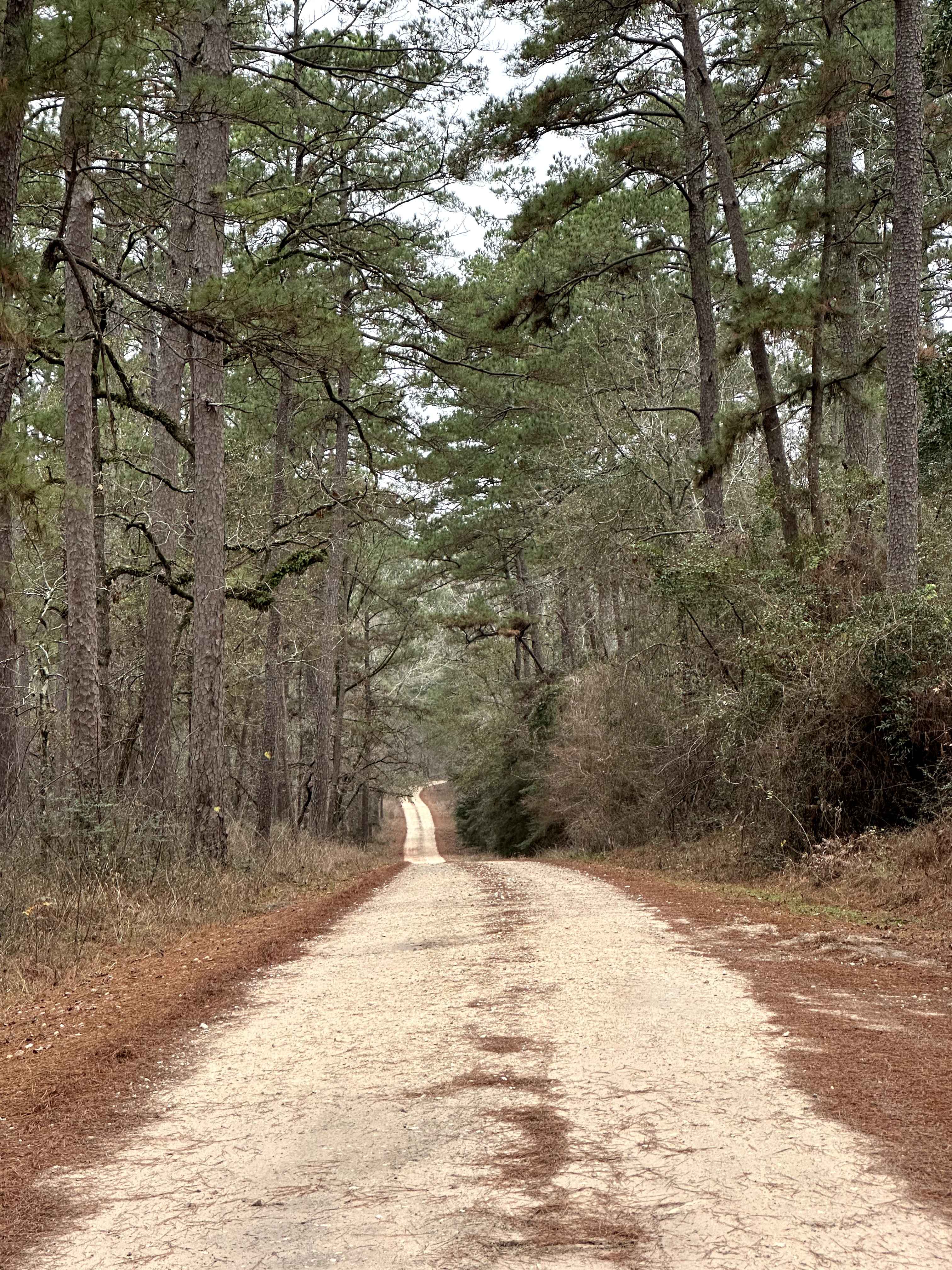
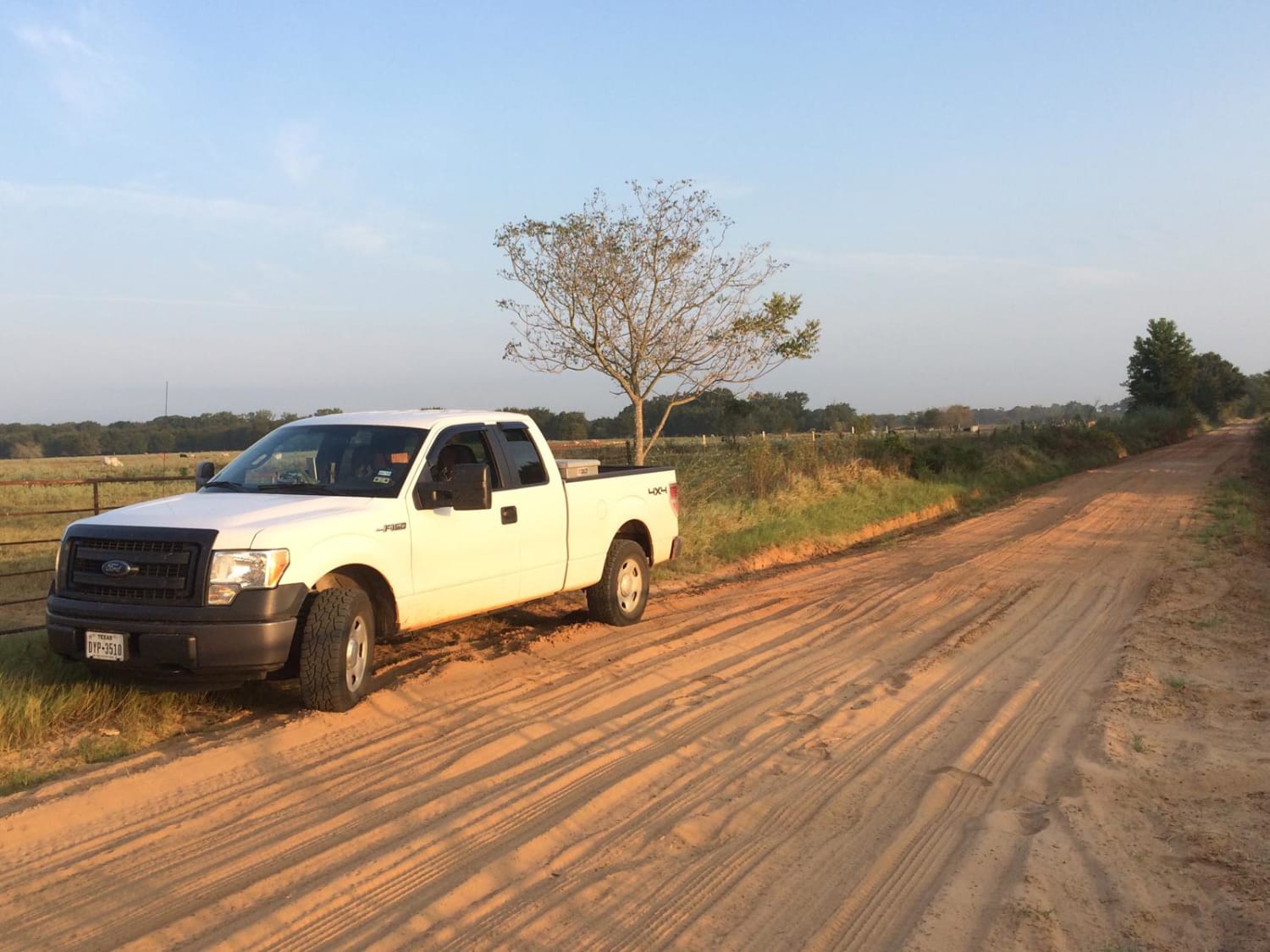
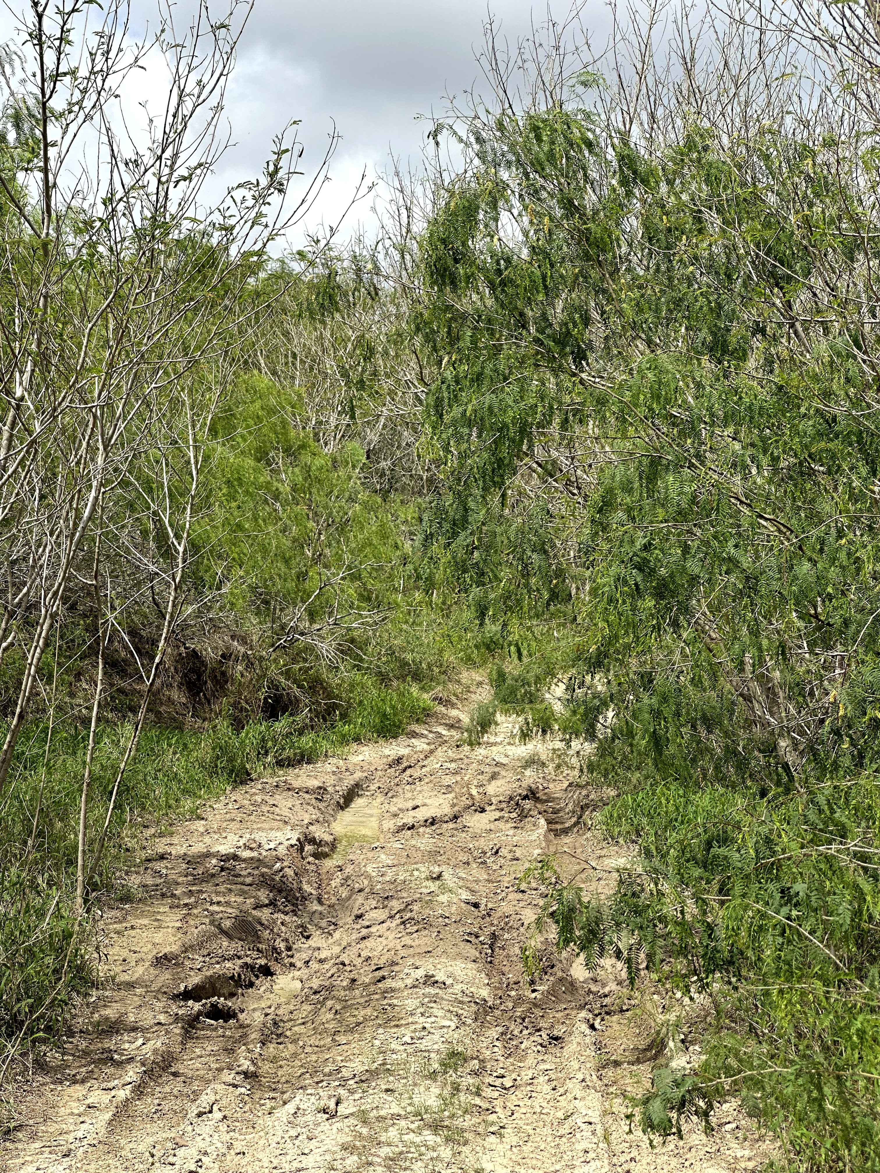
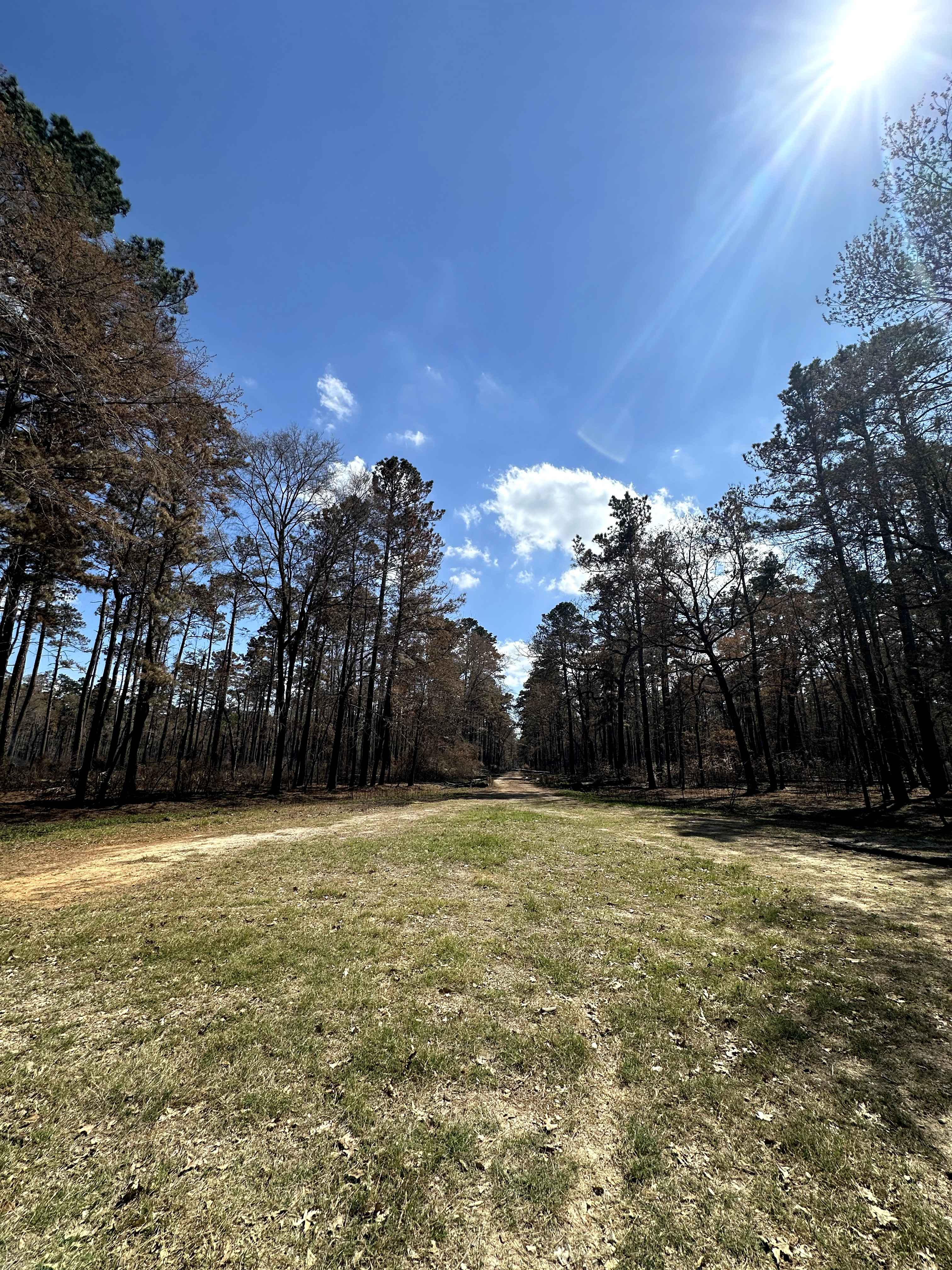
Trail Overview
Magnolia (FS 219) begins near Lone Star Hiking Trailhead #1 parking access and travels through a mixed wooded section of Sam Houston National Forest. At the start of the route, the road runs alongside private property boundaries, requiring drivers and campers to be mindful of posted signs and property lines. The surface is primarily dirt with intermittent gravel and mild surface irregularities shaped by regular forest use. Several existing clearings can be found along the road, offering opportunities for primitive dispersed camping where permitted. In dry conditions, most high-clearance vehicles can navigate the route without issue, though traction may vary after rain. Expect shared use near the trailhead area, limited cell service, and no services along the road.
Photos of Magnolia - FS 219
Difficulty
This route is rated Easy due to its generally smooth dirt surface and gradual terrain. It is typically passable for most high-clearance vehicles in dry conditions. Increased activity near the trailhead and adjacent private property may require reduced speeds, but no technical driving skills are required under normal conditions.
Status Reports
Magnolia - FS 219 can be accessed by the following ride types:
- High-Clearance 4x4
- SUV
Magnolia - FS 219 Map
Popular Trails
Lynch - FS 209A
Texas Traverse (Leg 4)
Mosquito Track
Knox - FS 516
The onX Offroad Difference
onX Offroad combines trail photos, descriptions, difficulty ratings, width restrictions, seasonality, and more in a user-friendly interface. Available on all devices, with offline access and full compatibility with CarPlay and Android Auto. Discover what you’re missing today!