Javelin Road Connection
Total Miles
0.9
Technical Rating
Best Time
Spring, Summer, Fall, Winter
Trail Type
Full-Width Road
Accessible By
Trail Overview
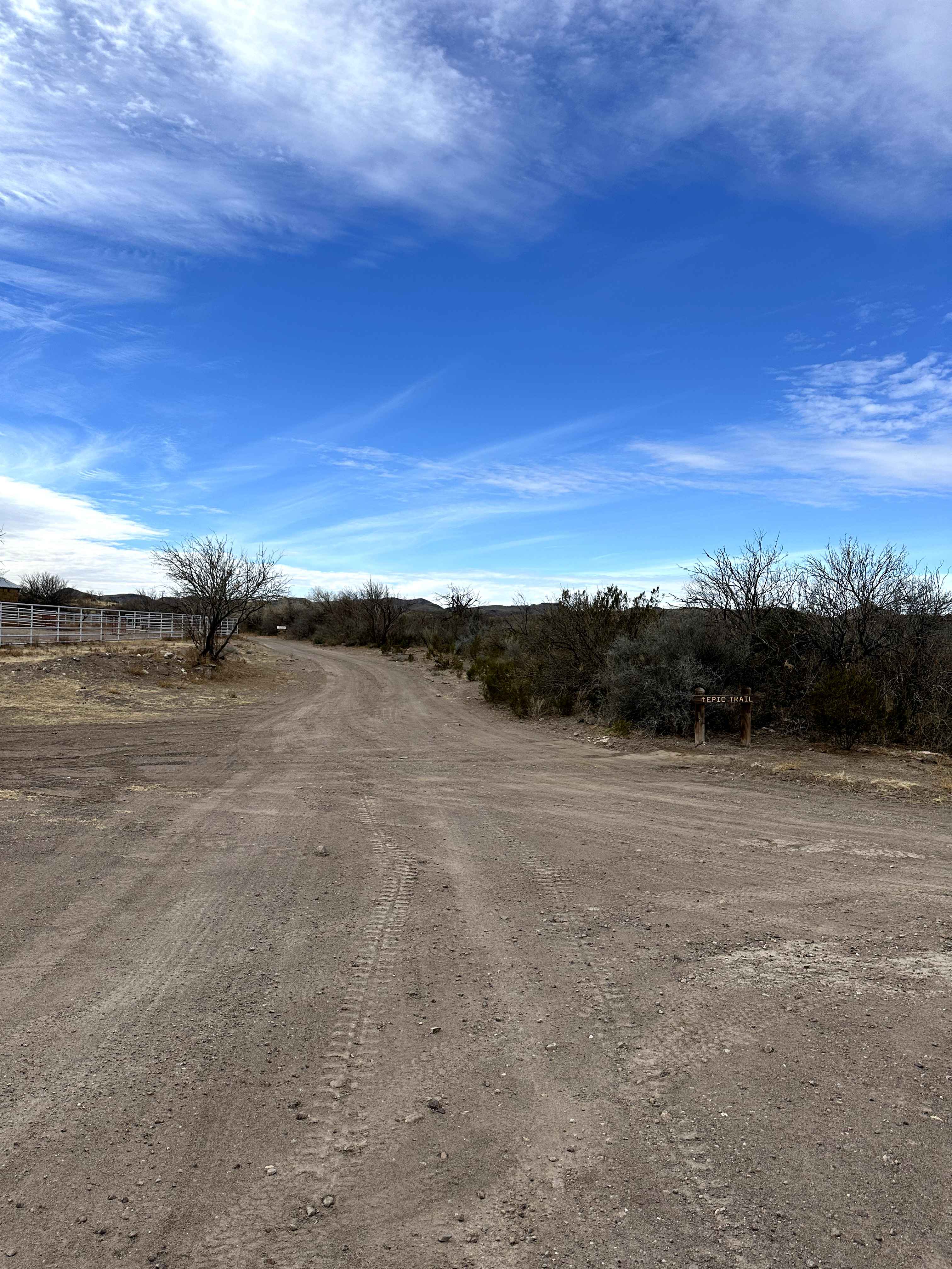
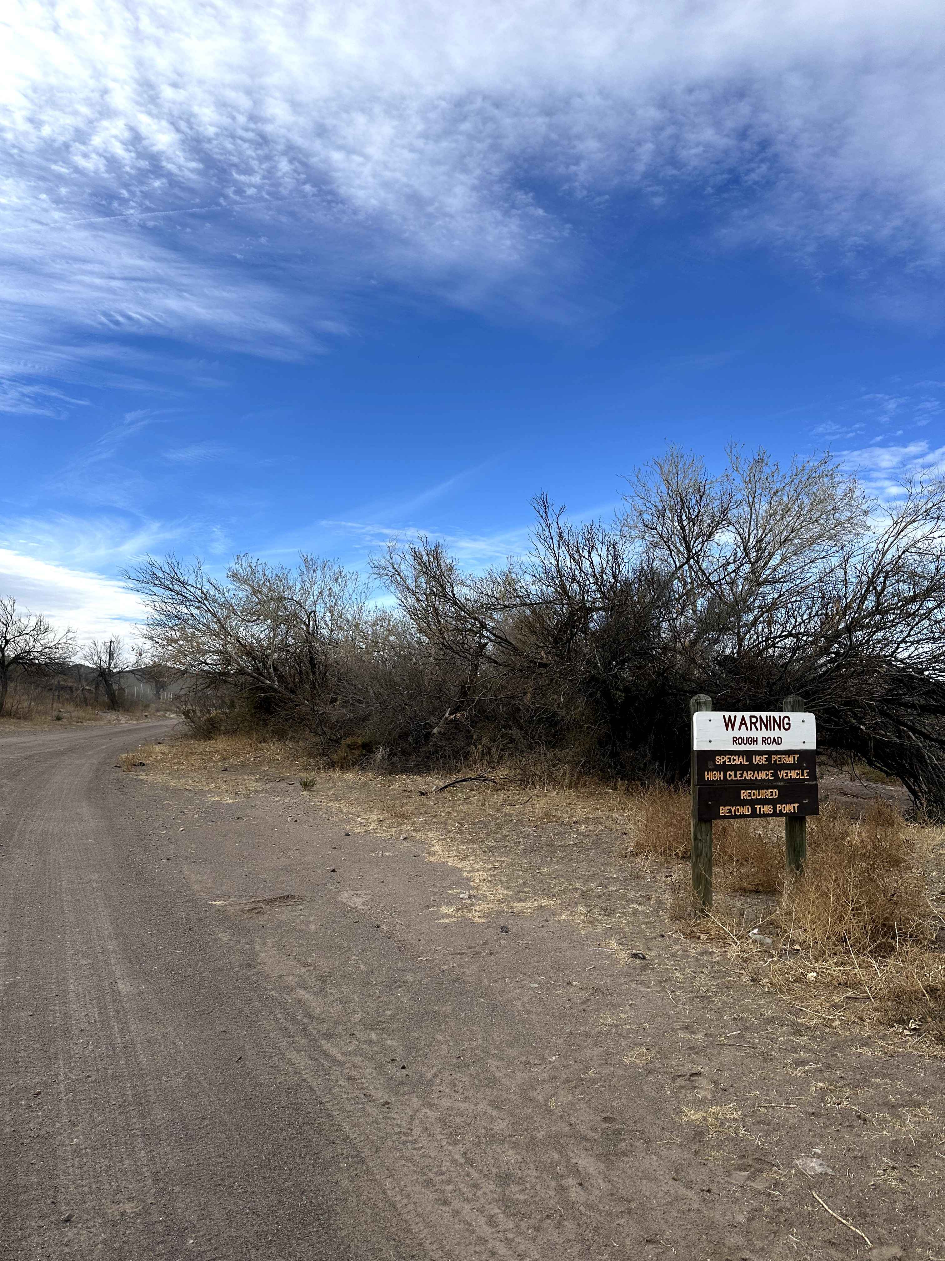
Javelin Road is a narrow, rutted desert route located within Big Bend Ranch State Park. The road surface consists of uneven dirt with erosion ruts and loose sections, and dense desert vegetation lines much of the corridor. Expect tight clearances in places and potential pinstriping from overgrown brush. The route runs north-south, with the northern end connecting to Main Park Road near the Sauceda Ranger Station. Along the way, the connection to Javelin Road passes the Horsetrap Spring Trail, which is designated for non-motorized use only.
Photos of Javelin Road Connection
Difficulty
This route is manageable for most high-clearance SUVs and trucks in dry conditions. While 4WD is not typically required, it may be beneficial after rain. Drivers should be prepared for narrow sections and uneven terrain, but no major obstacles are present.
Status Reports
Javelin Road Connection can be accessed by the following ride types:
- High-Clearance 4x4
- SUV
Javelin Road Connection Map
Popular Trails

Smuggler's Strait
Green Horn
The onX Offroad Difference
onX Offroad combines trail photos, descriptions, difficulty ratings, width restrictions, seasonality, and more in a user-friendly interface. Available on all devices, with offline access and full compatibility with CarPlay and Android Auto. Discover what you’re missing today!