FS 208A
Total Miles
1.0
Technical Rating
Best Time
Spring, Summer, Fall, Winter
Trail Type
Full-Width Road
Accessible By
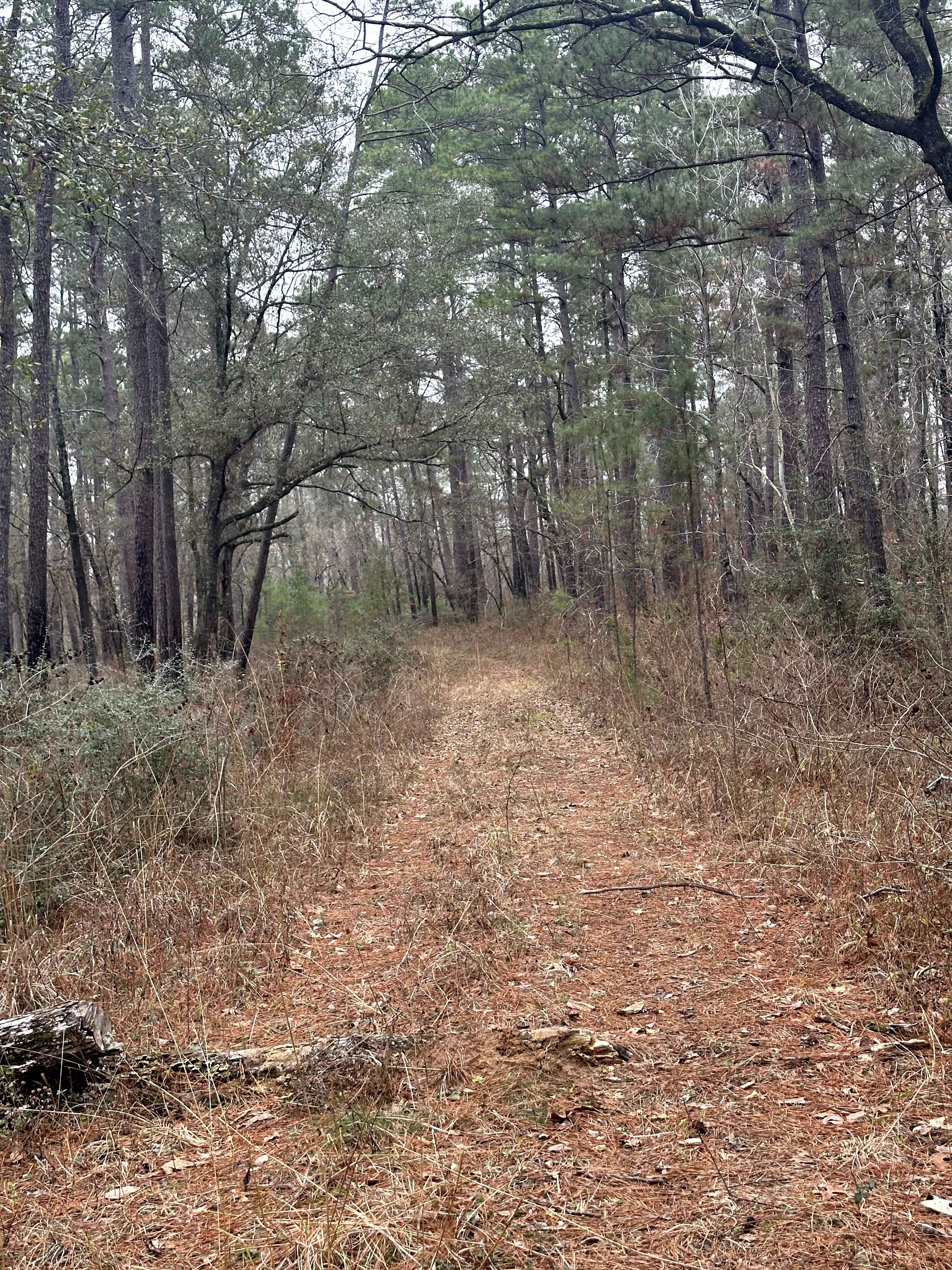
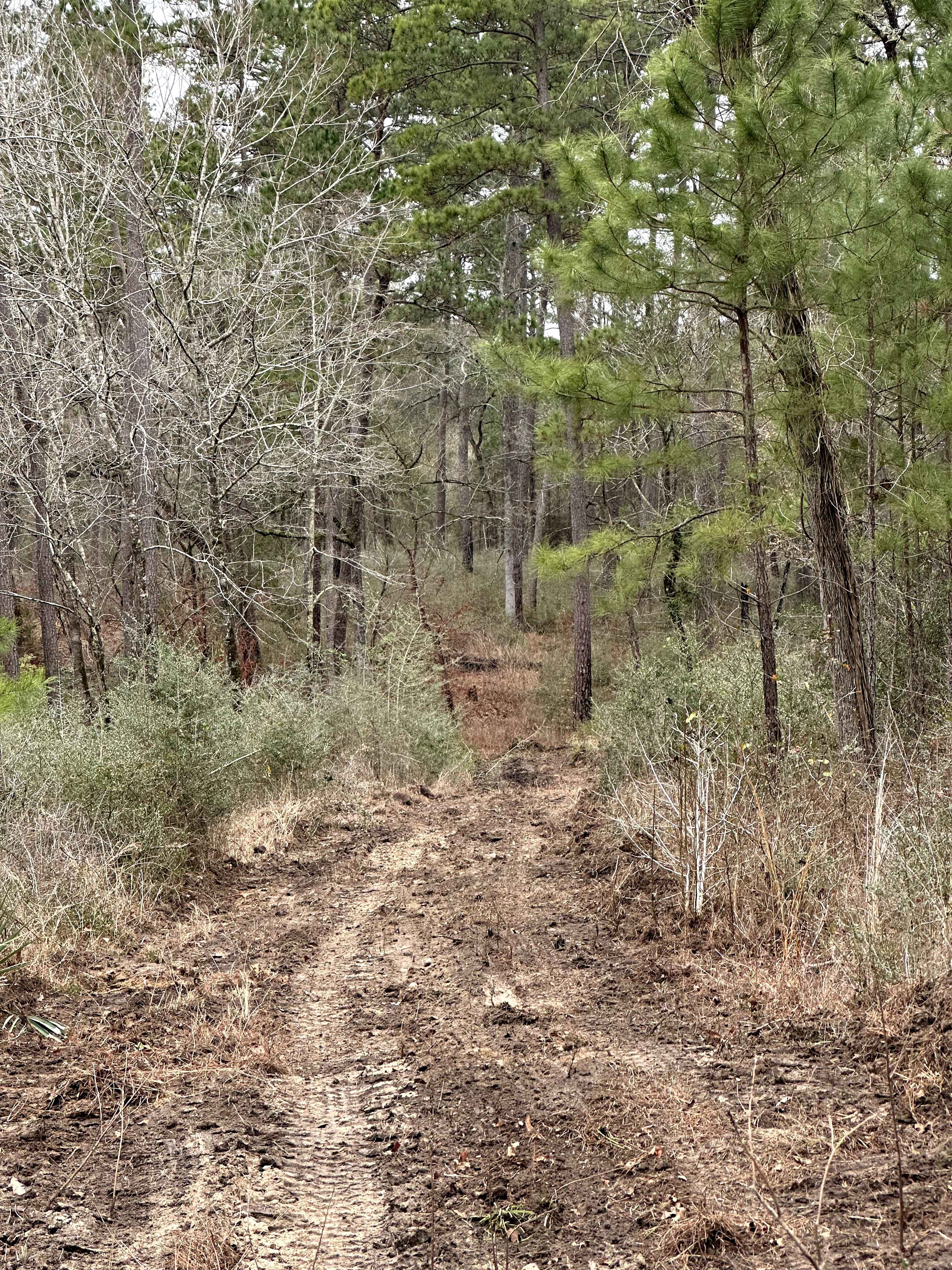
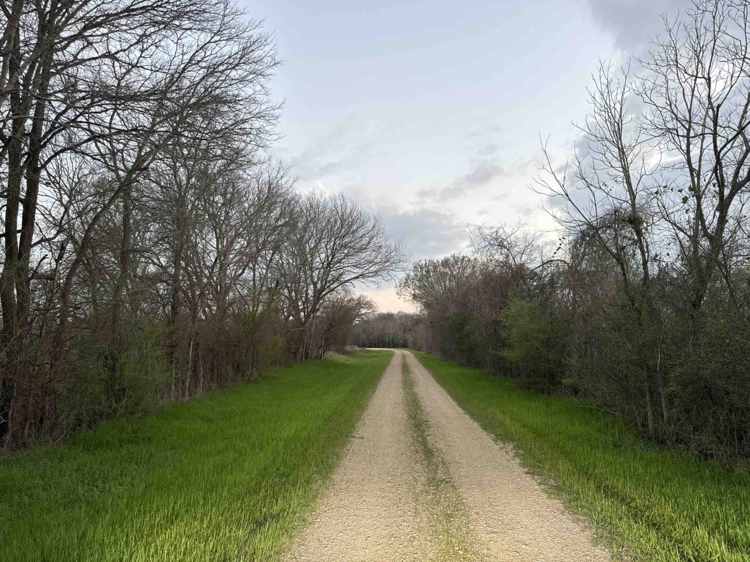
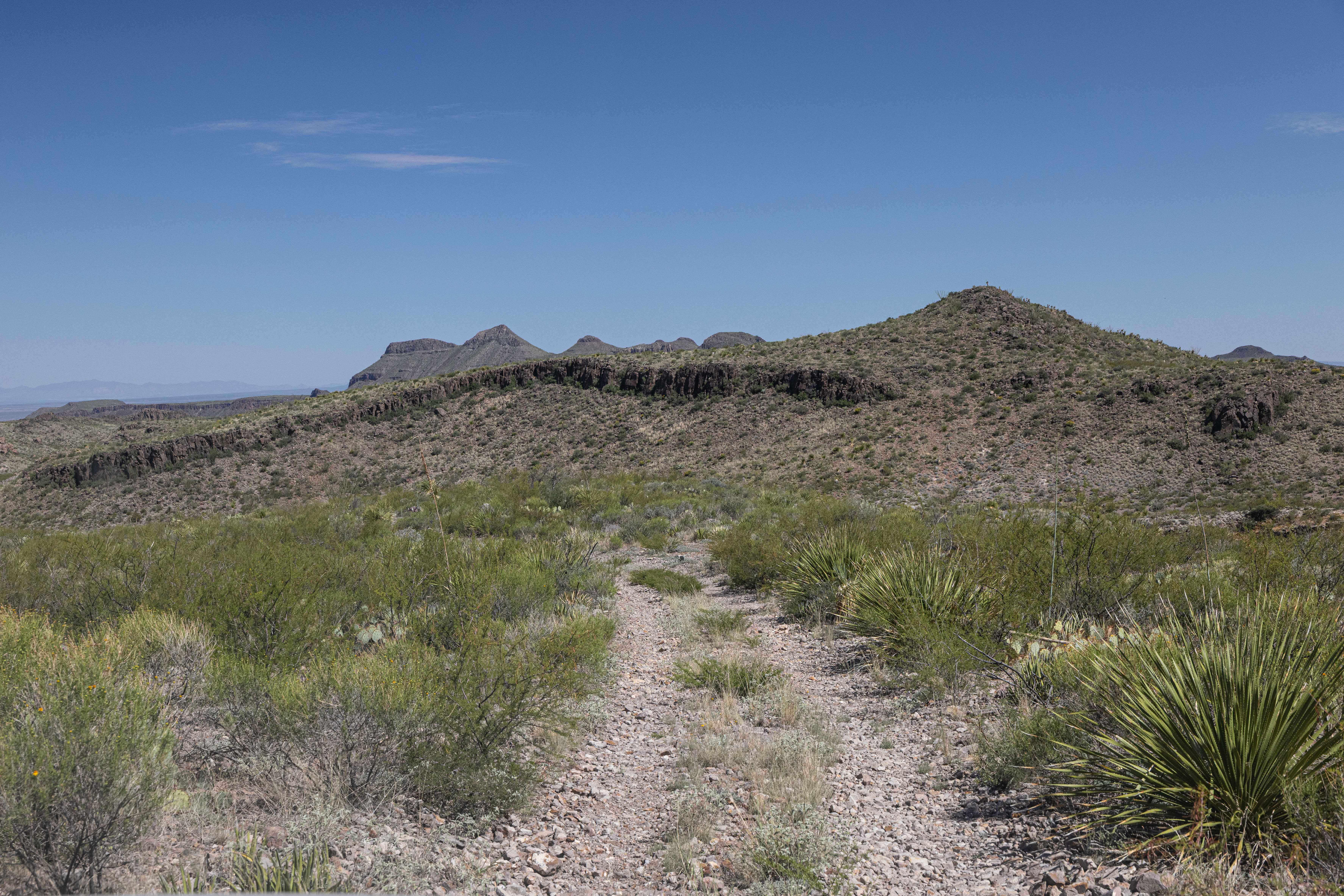
Trail Overview
FS 208A begins at an intersection with the 820 multi-use trail and quickly narrows as it continues into a dense section of Sam Houston National Forest. This forest service track is primarily dirt and is characterized by tight corridors, frequent ruts, and uneven surfaces, making it more suited for low-speed access than general travel. A fork in the route splits the road, requiring attention to navigation once past the initial section. A few small clearings are present along the track, though they are limited and not well-established for camping. High-clearance vehicles are recommended; careful tire placement may be necessary in rutted areas, and cell service is limited. Expect shared use near the trail intersection and no services along the route.
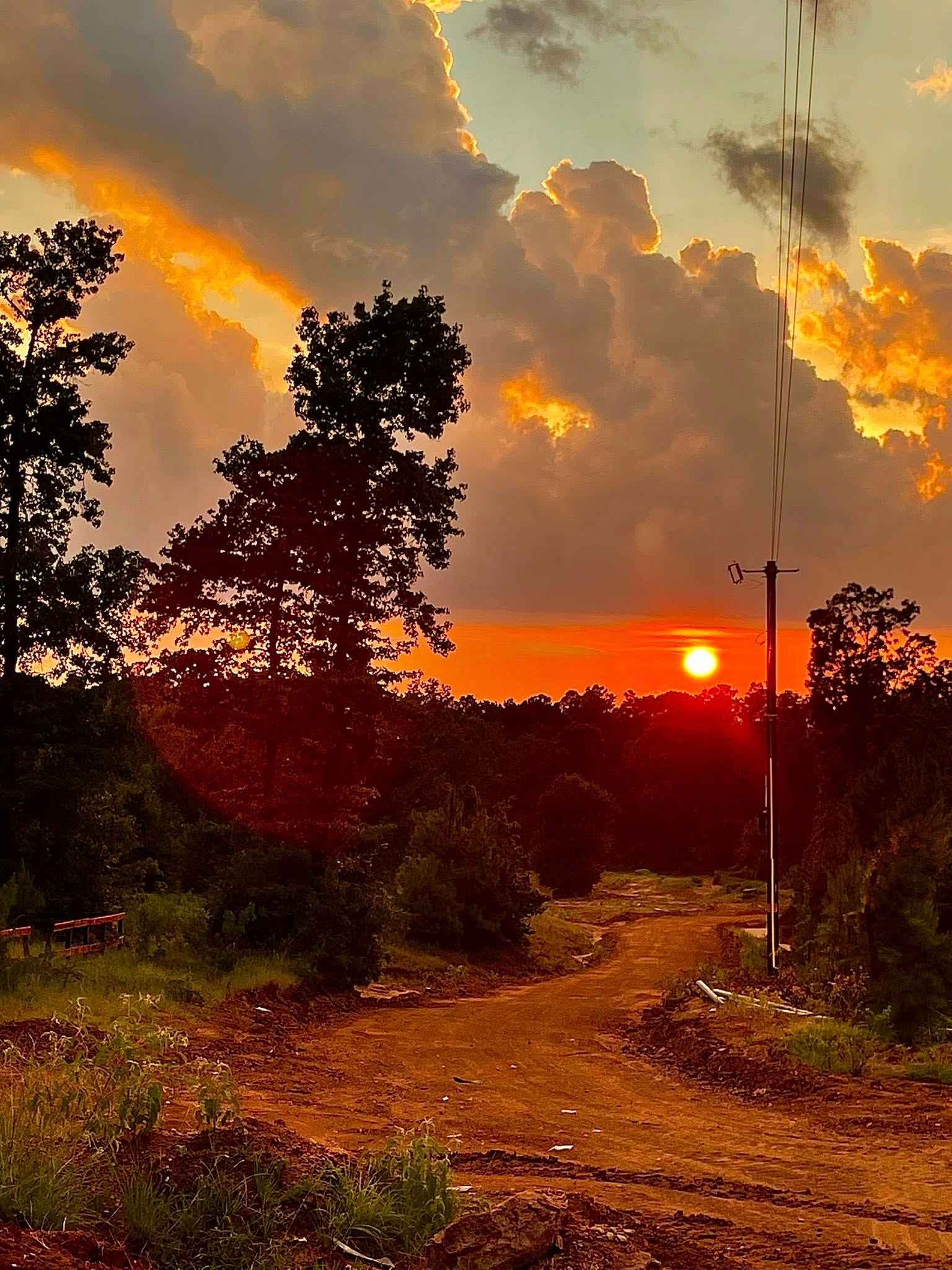
Photos of FS 208A
Difficulty
This route is rated Easy-Moderate due to its narrow width, rutted surface, and limited room for passing. While no technical obstacles are present, careful driving and tire placement may be required in uneven sections. The road is generally manageable for high-clearance vehicles in dry conditions, but difficulty can increase slightly after rain.
Status Reports
FS 208A can be accessed by the following ride types:
- High-Clearance 4x4
- SUV
FS 208A Map
Popular Trails

Lockhart to Luling via Backroads
North-West Main Trail
BBRSP - Oso Loop
The onX Offroad Difference
onX Offroad combines trail photos, descriptions, difficulty ratings, width restrictions, seasonality, and more in a user-friendly interface. Available on all devices, with offline access and full compatibility with CarPlay and Android Auto. Discover what you’re missing today!