Wolf Creek Road
Total Miles
6.1
Technical Rating
Best Time
Spring, Summer, Fall
Trail Type
Full-Width Road
Accessible By
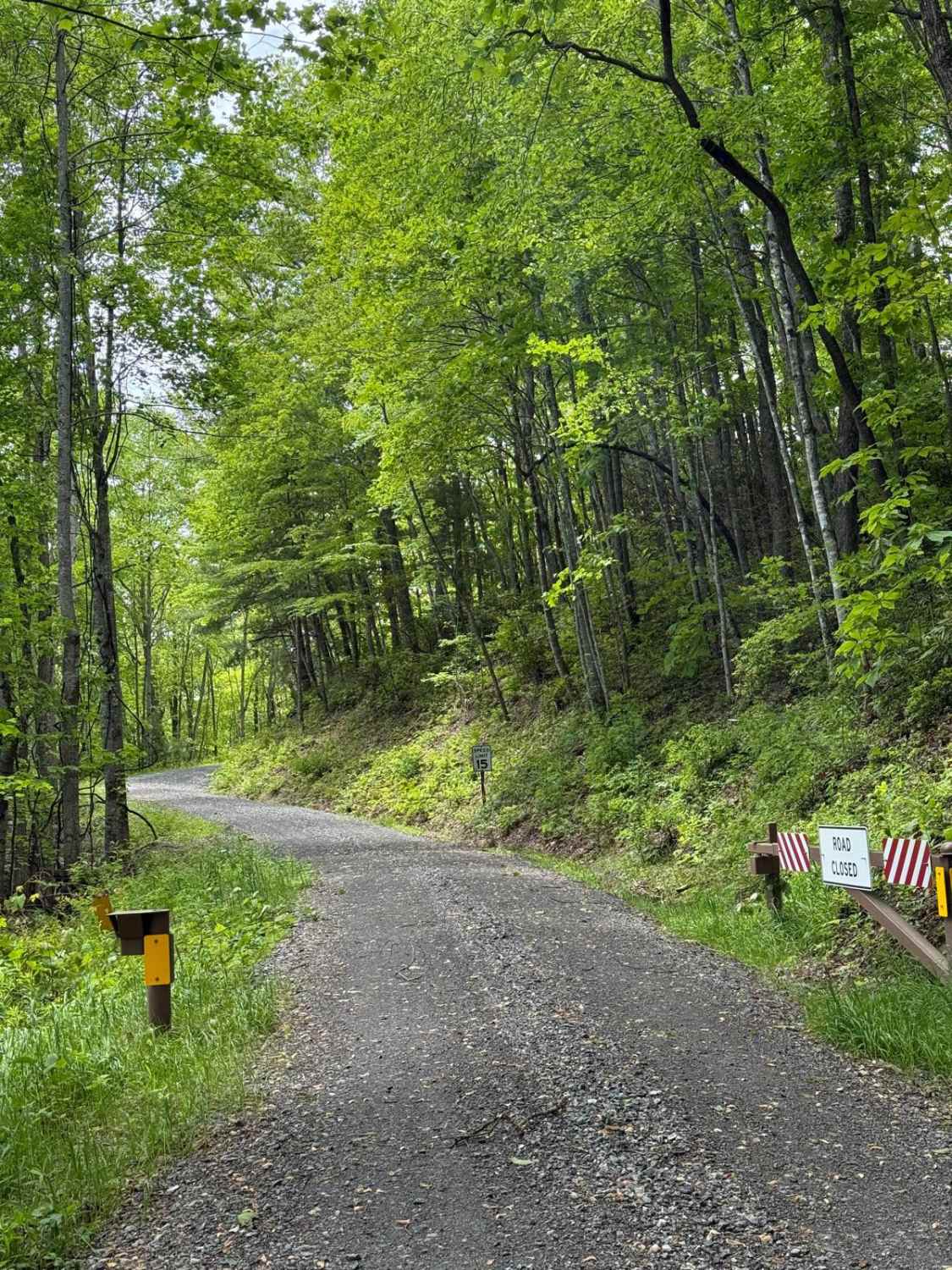
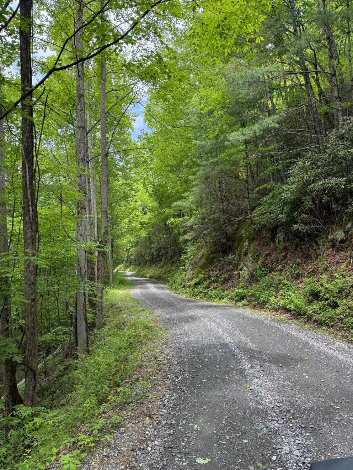
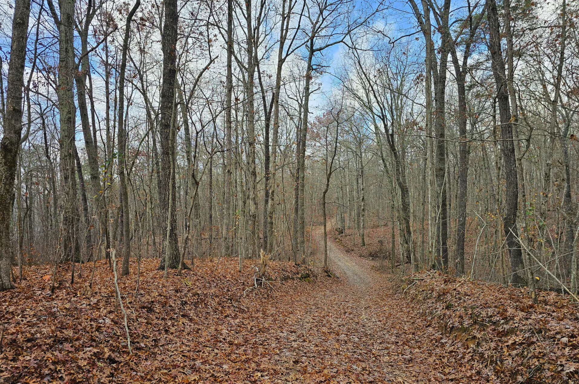
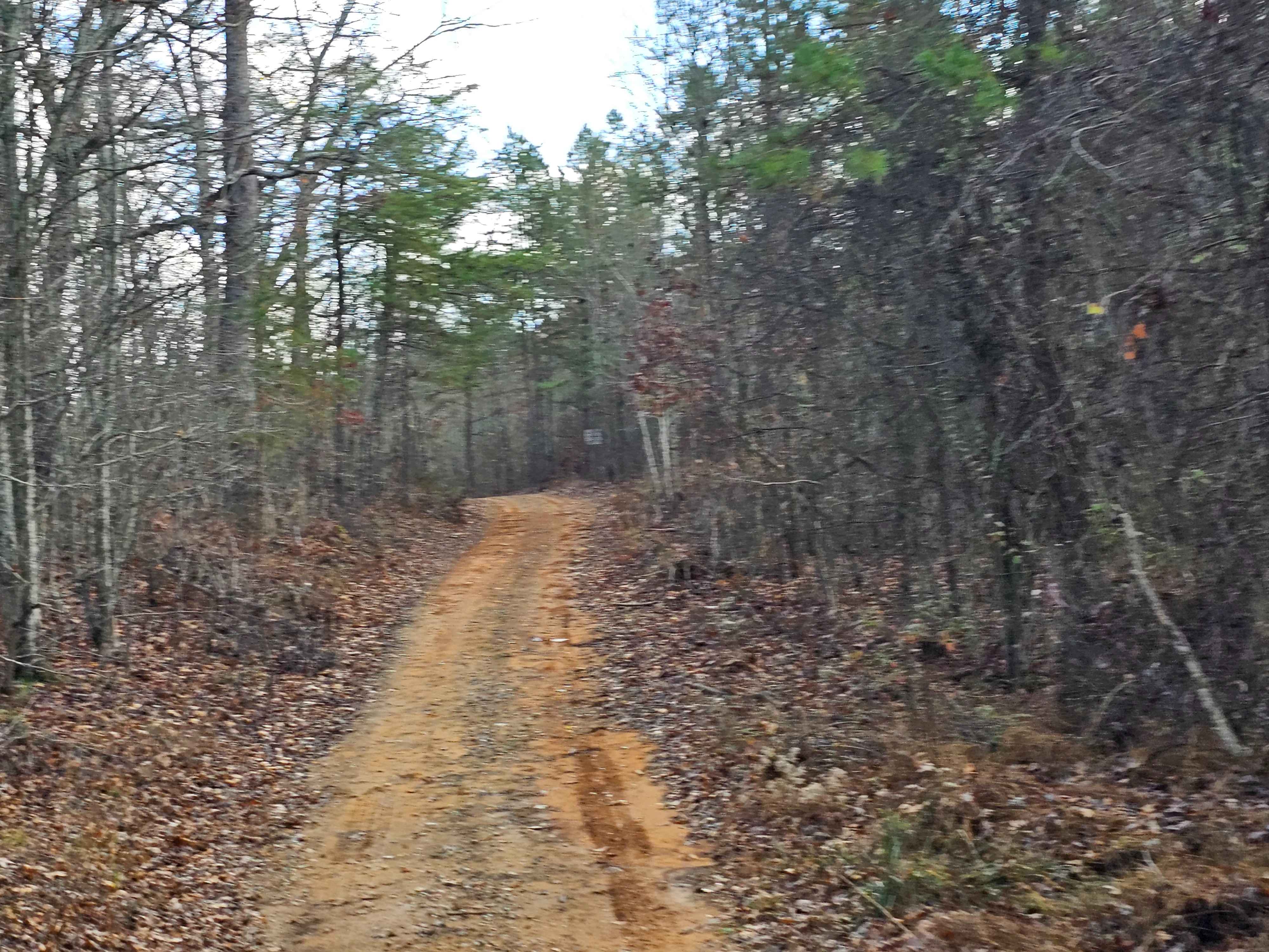
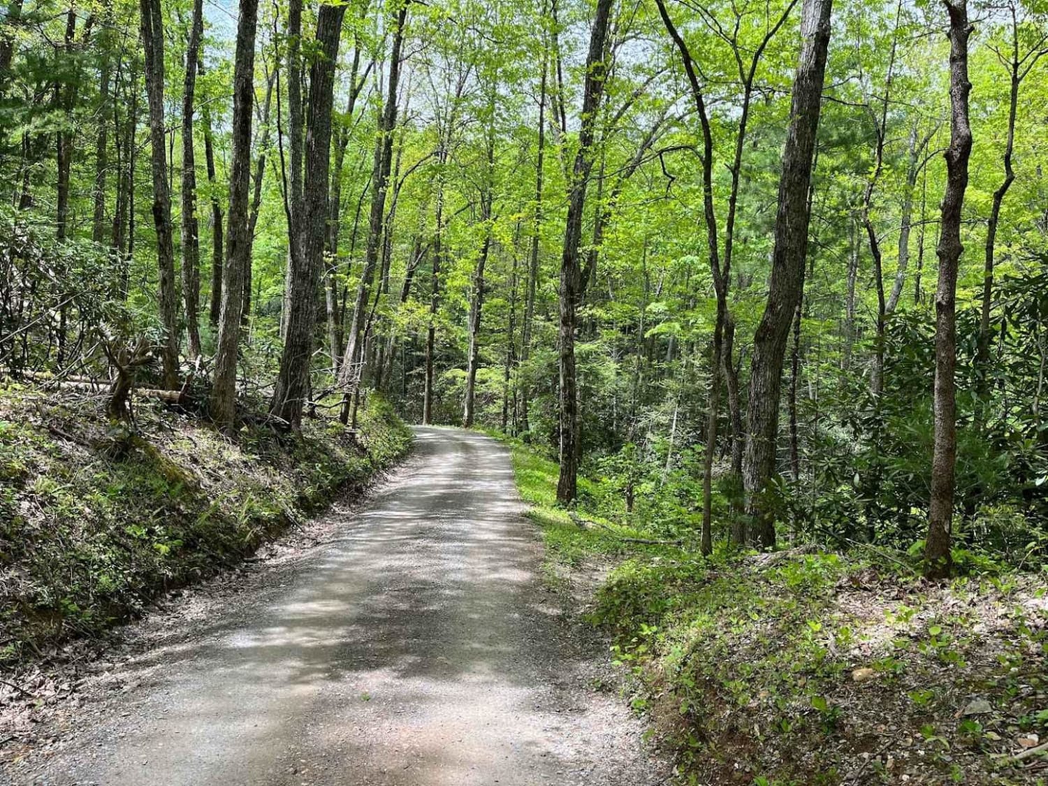
Trail Overview
Wolf Creek Road is a 6.1-mile gravel road kept in good shape by the Cherokee National Forest. It's mostly one lane, but there are plenty of wide spots to pass. You can access it from Round Mountain Road to the south or Upper Shut-In Road from the north on the North Carolina side. The road climbs through the Bald Mountains, a rugged stretch of the Appalachians, with several scenic pull-offs perfect for soaking in the views. There are a few dispersed campsites tucked into the trees, and you'll pass trail access points like the Brush Creek Trail and the Round Mountain Trail, both offering solid options for hiking deeper into the backcountry. About halfway through, you'll pass through what remains of Wasp, TN, a forgotten ghost town now being slowly swallowed by the forest. Near Wasp, you'll find the trailhead to Wolf Creek Falls. The road is suitable for most street-legal vehicles, but higher clearance is a good idea during or after wet weather. It's a peaceful route with light traffic, ideal for a slow roll through one of Tennessee's more hidden corners.
Photos of Wolf Creek Road
Difficulty
This is a very well taken care road most of the time. Other than some washboarding, the road is suitable for even a passenger car to traverse.
Status Reports
Wolf Creek Road can be accessed by the following ride types:
- High-Clearance 4x4
- SUV
- SxS (60")
- ATV (50")
- Dirt Bike
Wolf Creek Road Map
Popular Trails
East Brow Road

Jones Creek Road
Parson Branch Road
The onX Offroad Difference
onX Offroad combines trail photos, descriptions, difficulty ratings, width restrictions, seasonality, and more in a user-friendly interface. Available on all devices, with offline access and full compatibility with CarPlay and Android Auto. Discover what you’re missing today!