Patterson Cemetery Road
Total Miles
0.5
Technical Rating
Best Time
Spring, Summer, Fall, Winter
Trail Type
Full-Width Road
Accessible By
Trail Overview
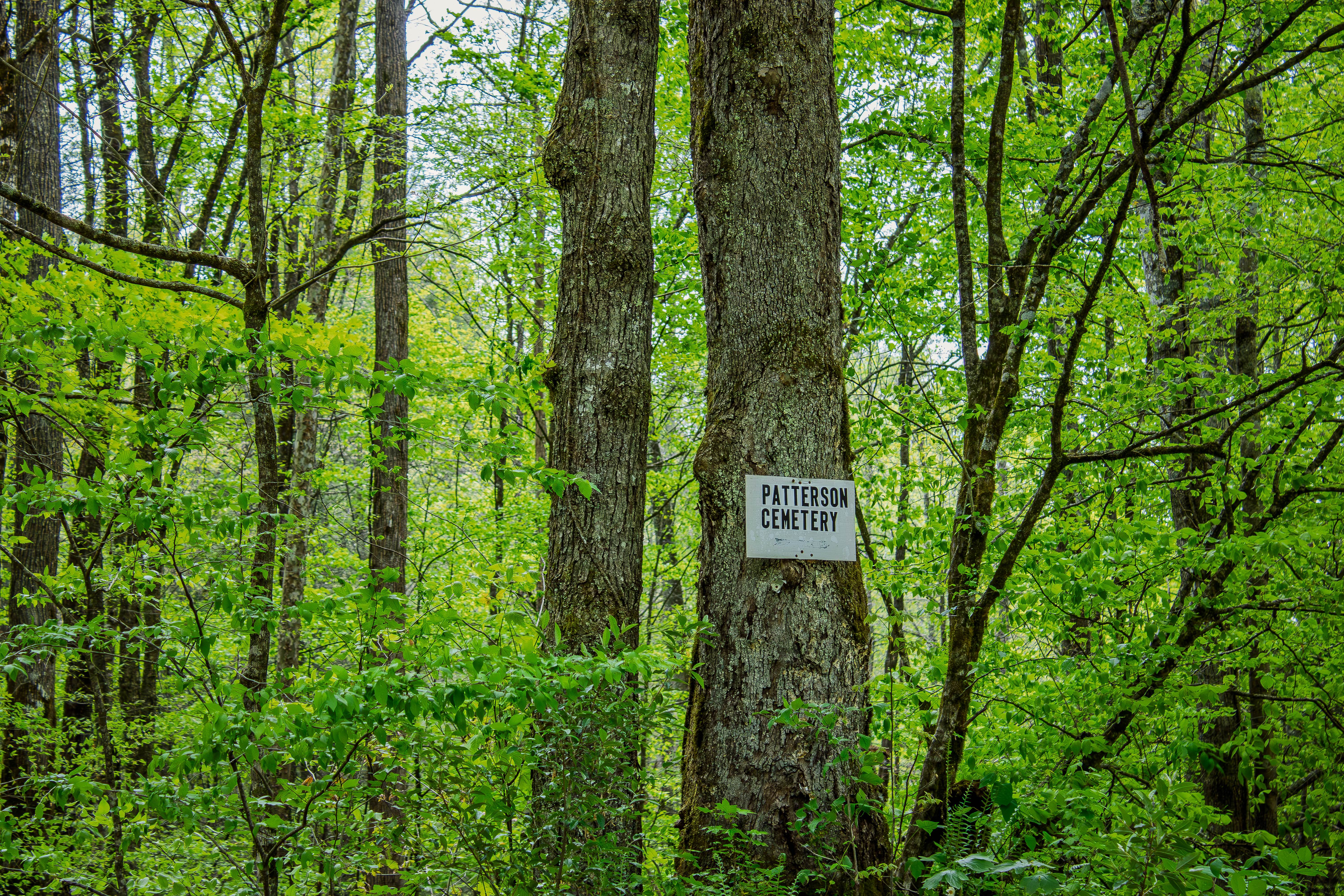
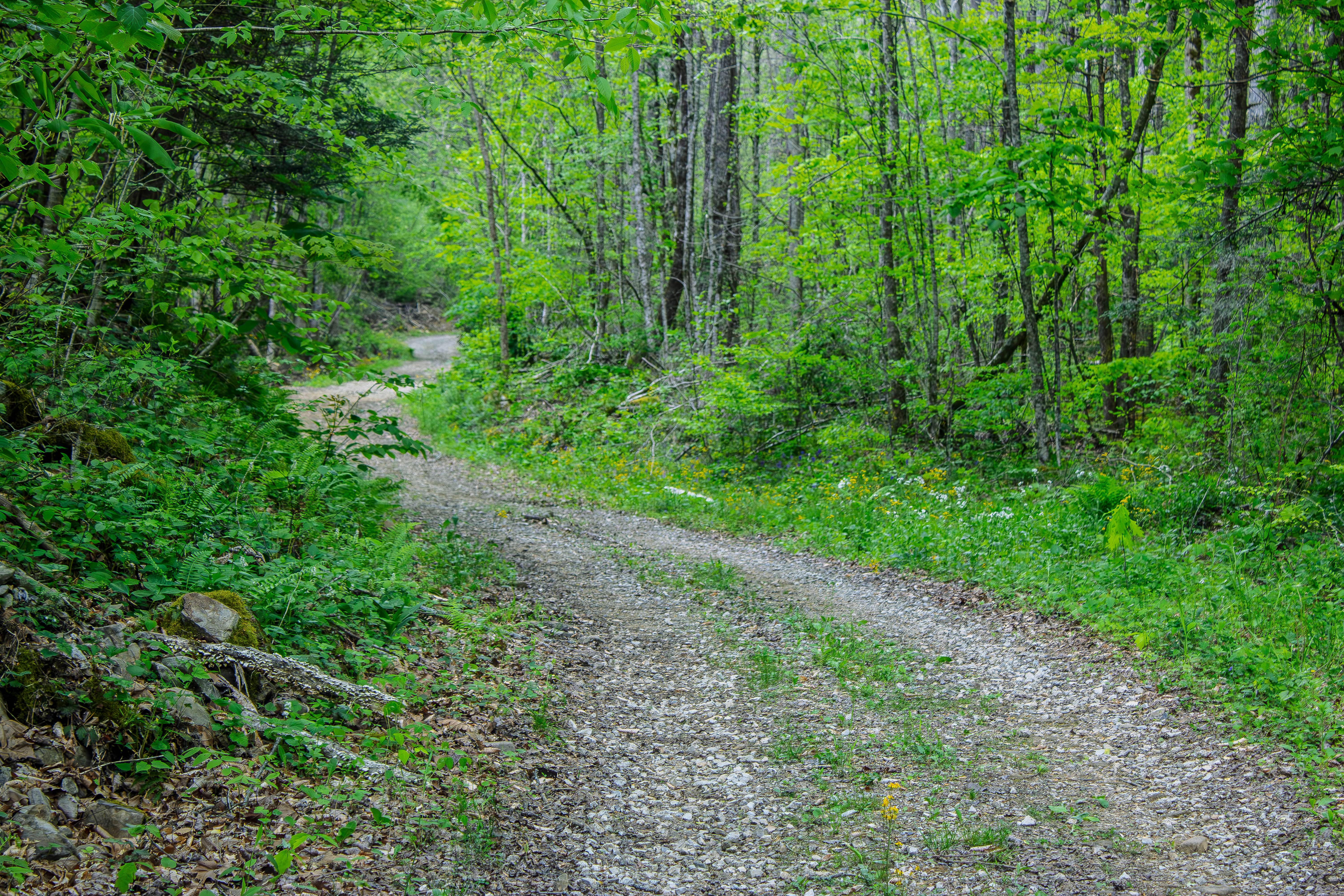
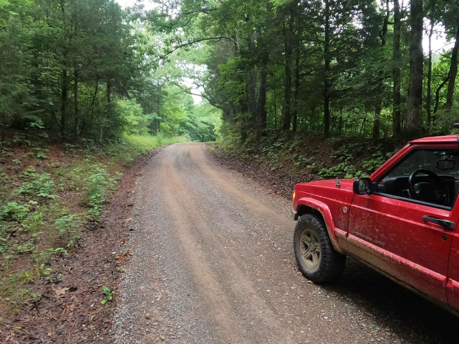
Patterson Cemetery Road is a two-way gravel road that leads to the old Patterson Cemetery. The road is semi-maintained and offers an easy, scenic drive with no major obstacles to worry about. Most high-clearance vehicles should have no trouble completing this route in dry conditions, though drivers should still watch for loose gravel, minor washboarding, and changing road conditions after heavy rain. One of the highlights along the road is a large culvert with a small waterfall and stream nearby. This area makes a good stop for photos or a short break before continuing toward the cemetery. The route ends near Patterson Cemetery, where several headstones date back to the 1800s, giving the trail a quiet historic feel. Please be respectful when visiting the cemetery area and avoid driving or parking on any gravesites or sensitive ground.
Photos of Patterson Cemetery Road
Difficulty
This trail earns an easy rating because it is primarily a gravel road with no major obstacles, deep ruts, ledges, or technical sections. The road is semi-maintained and should be manageable for most 4WD and many high-clearance 2WD vehicles in normal conditions. Rain may create slick areas or minor washouts, but the trail does not require advanced driving skills.
History
Patterson Cemetery, also known as Emily Patterson Cemetery, is a small historic cemetery near Highway 116 in the Fork Mountain and Devonia area of Anderson County, Tennessee. This area was once part of the New River coal-mining region, with nearby communities, churches, rail lines, and coal operations tied to the history of the Cumberland Mountains. The cemetery is a quiet historic stop along the route and is known locally for its older grave markers, including several cross-shaped concrete markers. Visitors should treat the cemetery with respect, avoid disturbing headstones or gravesites, and stay on established roads and parking areas.
Status Reports
Patterson Cemetery Road can be accessed by the following ride types:
- High-Clearance 4x4
- SUV
- SxS (60")
- ATV (50")
- Dirt Bike
Patterson Cemetery Road Map
Popular Trails
Campground Connector
Bear Creek Road FSR 229

Sneed Hollow Road

Little Pond Mountain
The onX Offroad Difference
onX Offroad combines trail photos, descriptions, difficulty ratings, width restrictions, seasonality, and more in a user-friendly interface. Available on all devices, with offline access and full compatibility with CarPlay and Android Auto. Discover what you’re missing today!