26
Total Miles
2.1
Technical Rating
Best Time
Spring, Fall, Summer, Winter
Trail Type
60" Trail
Accessible By
Trail Overview
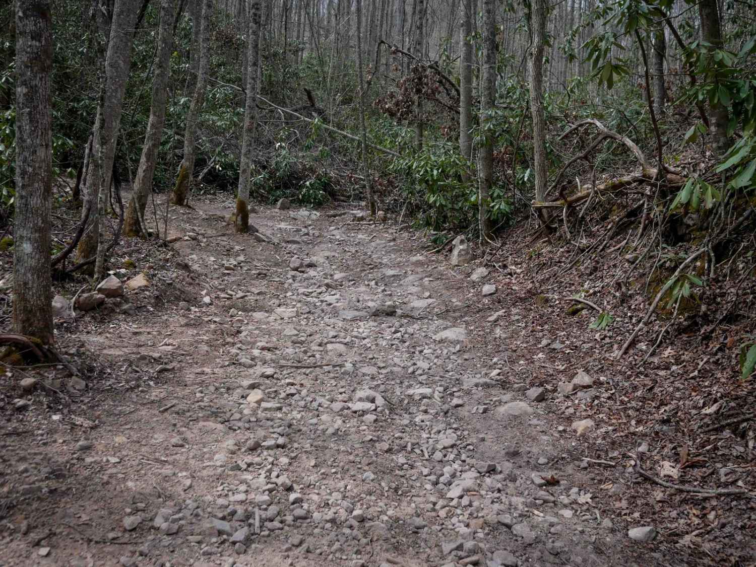
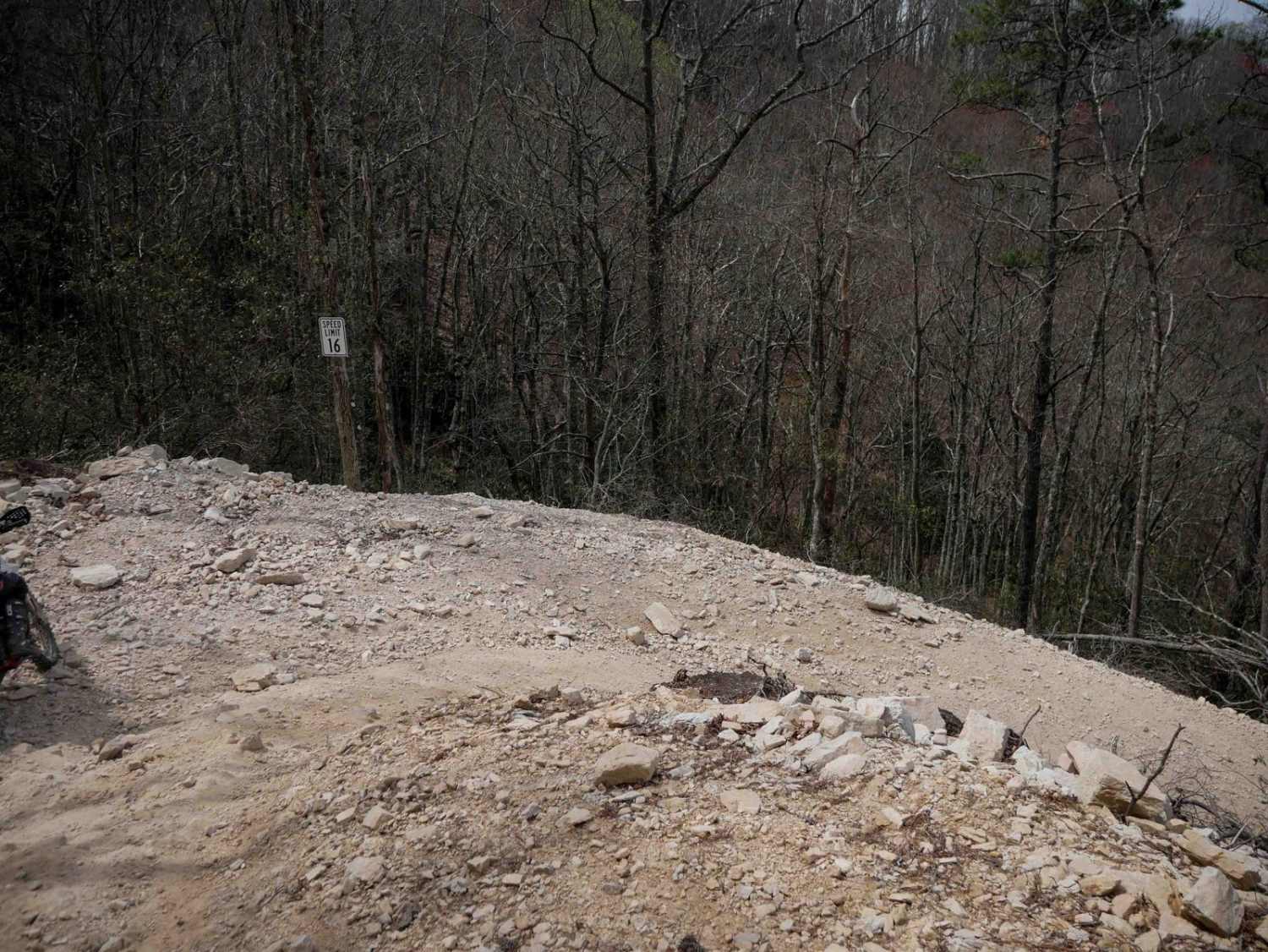
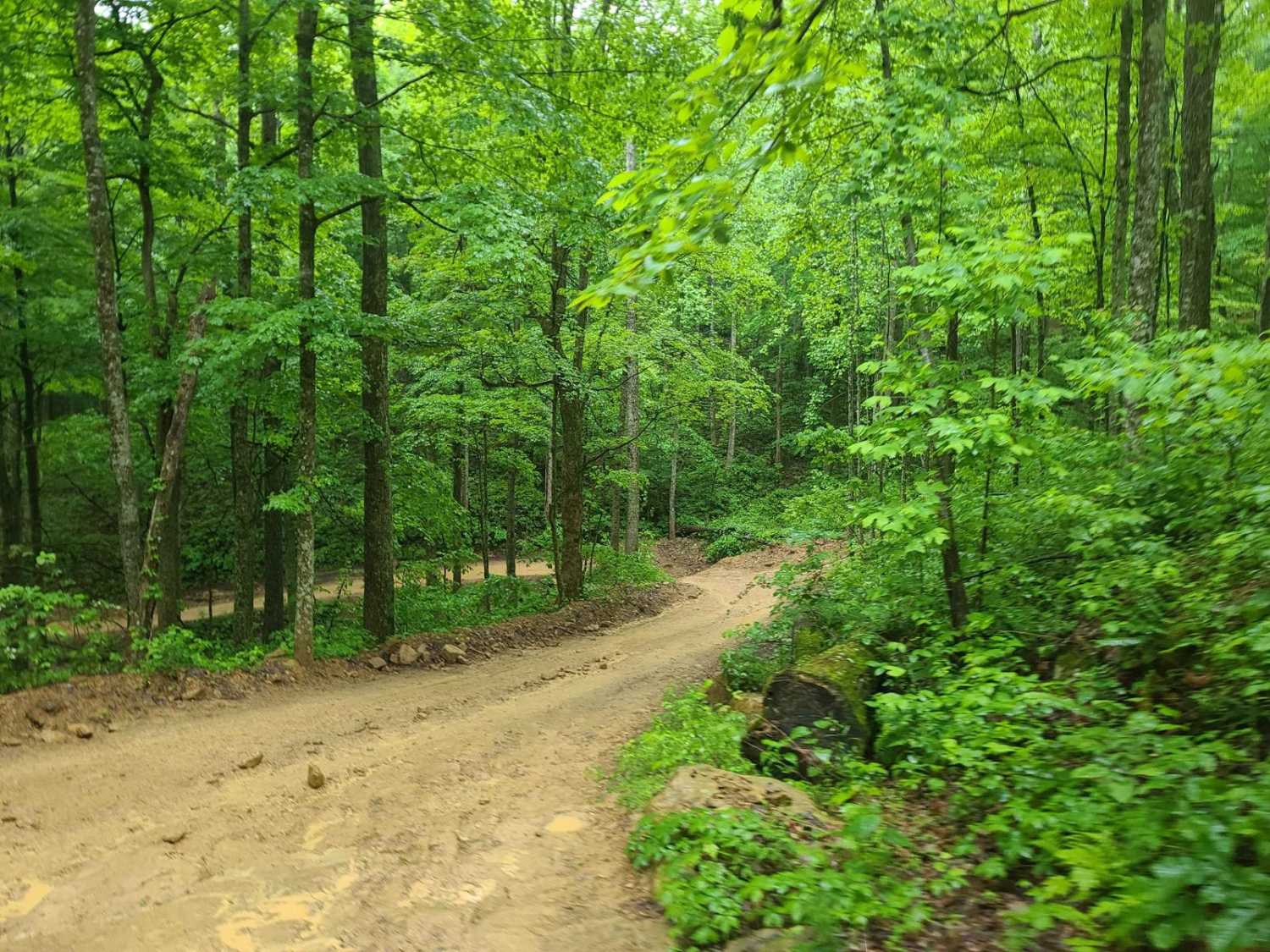
Trail 26 is a more challenging 2.2-mile descent from south to north, dropping nearly 1,000 feet in elevation through lush forest lined with rhododendron and tall, slender trees. The trail begins moderately but quickly transitions into a steep and rocky downhill, full of large, loose, football-sized rocks that demand careful control and braking, especially for dirt bikes. The path winds gradually down the mountainside, with uneven corners, loose dirt, and passing several intersections and one sizable bedrock outcropping that can easily be ridden over or around. Traction is key in steeper sections, making it a more technical ride. The trail levels out and smooths out near the bottom, ending before a gate and at a sharp left turn onto Trail 526. This trail must be ridden as an out-and-back, so be prepared to go back up what you go down.
Photos of 26

Difficulty
This is an intermediate SXS trail due to the very steep nature of the trail and sections full of loose rocks.
Status Reports
26 can be accessed by the following ride types:
- SxS (60")
- ATV (50")
- Dirt Bike
26 Map
Popular Trails
Ride Royal Blue Trail - Trail 27

Little Pond Mountain

Tooley Branch Road
The onX Offroad Difference
onX Offroad combines trail photos, descriptions, difficulty ratings, width restrictions, seasonality, and more in a user-friendly interface. Available on all devices, with offline access and full compatibility with CarPlay and Android Auto. Discover what you’re missing today!