Williams Draw - FS 691
Total Miles
7.8
Technical Rating
Best Time
Spring, Fall, Summer
Trail Type
Full-Width Road
Accessible By
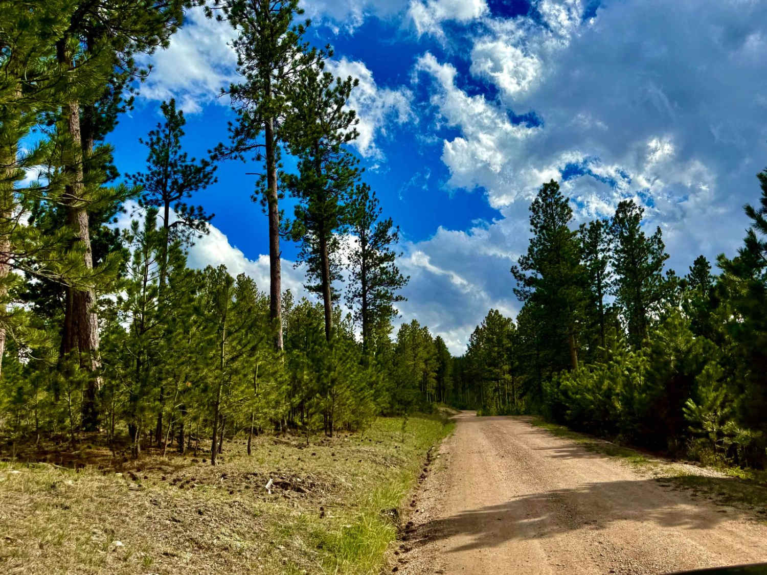
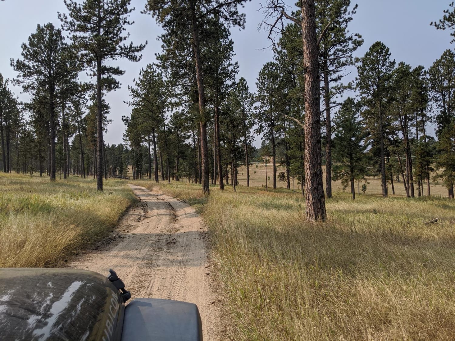
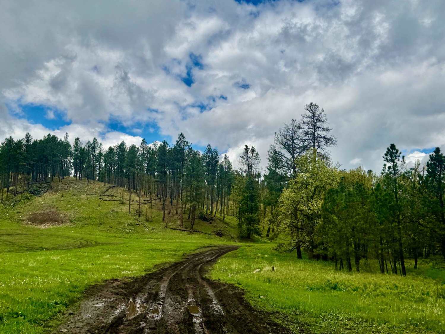
Trail Overview
Williams Draw Road (FS 691) is a scenic secondary forest route located in the Black Hills National Forest, west of Hill City. Branching off Deerfield Road (CR 308), it offers a quiet, tree-lined drive through dense pine forest and rolling terrain. The road is classified as a U.S. Forest Service Secondary Route, meaning it is maintained for high-clearance vehicles and may feature loose dirt, exposed rock, and occasional standing water. At approximately 0.9 miles in, FS 691 intersects with Forest Service Trail #6071, a designated motorized trail that requires a permit for use. This makes Williams Draw Road a useful connector for riders seeking access to the broader trail network. While there are limited camping opportunities directly along the road, its proximity to other forest routes and trailheads makes it a convenient access point for backcountry exploration. Travel is best suited for high-clearance vehicles, especially in wet conditions. Pack in, pack out, leave no trace, and tread lightly.
Photos of Williams Draw - FS 691

Difficulty
This is an easy-going gravel road with blind corners.
Status Reports
Williams Draw - FS 691 can be accessed by the following ride types:
- High-Clearance 4x4
- SUV
- SxS (60")
- ATV (50")
- Dirt Bike
Williams Draw - FS 691 Map
Popular Trails
Custer Mountain Cutoff
Johnson Gulch - FS 674.1A

Whitetail Peak South

The onX Offroad Difference
onX Offroad combines trail photos, descriptions, difficulty ratings, width restrictions, seasonality, and more in a user-friendly interface. Available on all devices, with offline access and full compatibility with CarPlay and Android Auto. Discover what you’re missing today!