FS 456.1F
Total Miles
2.2
Technical Rating
Best Time
Spring, Summer, Fall
Trail Type
Full-Width Road
Accessible By
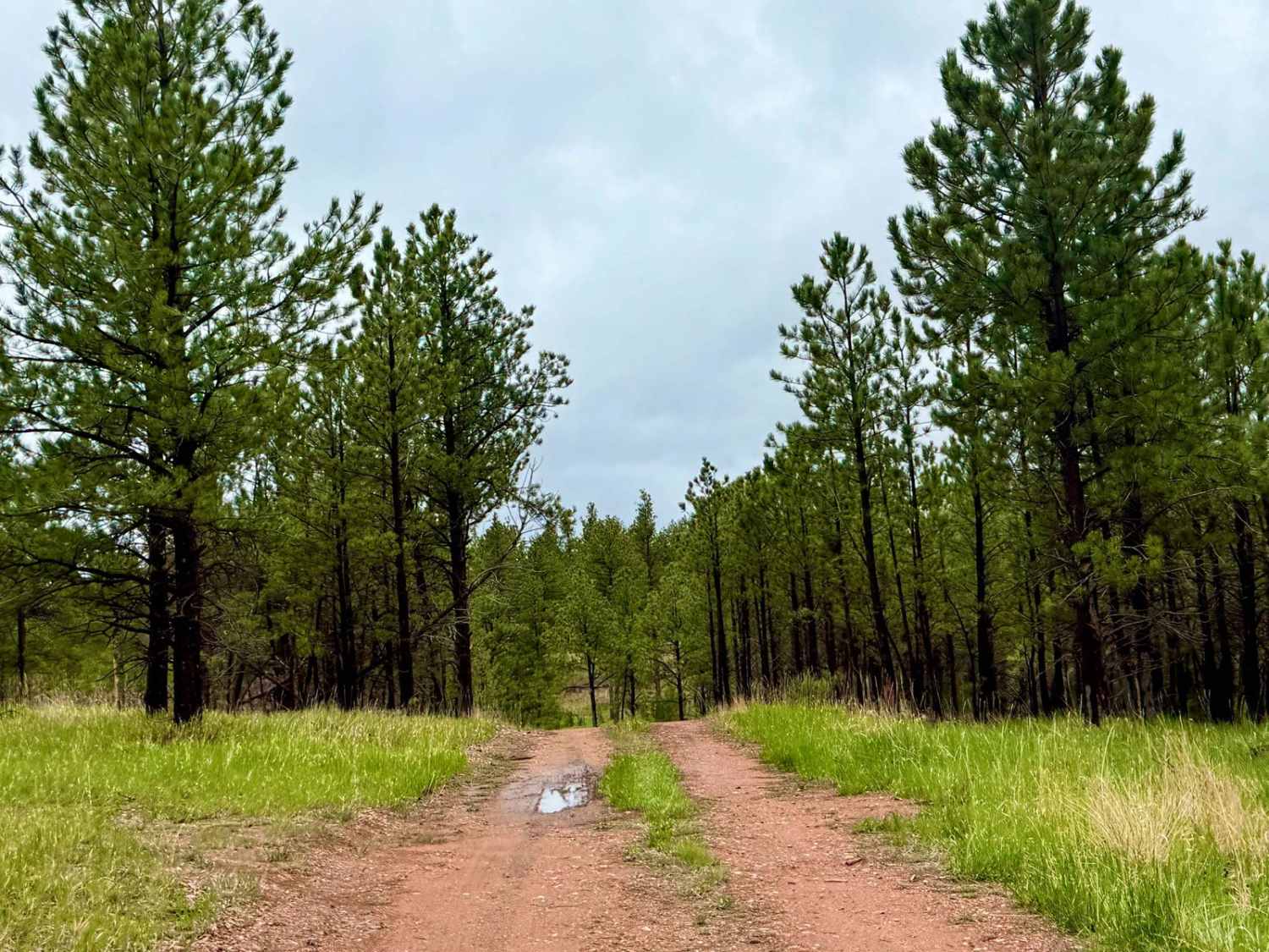
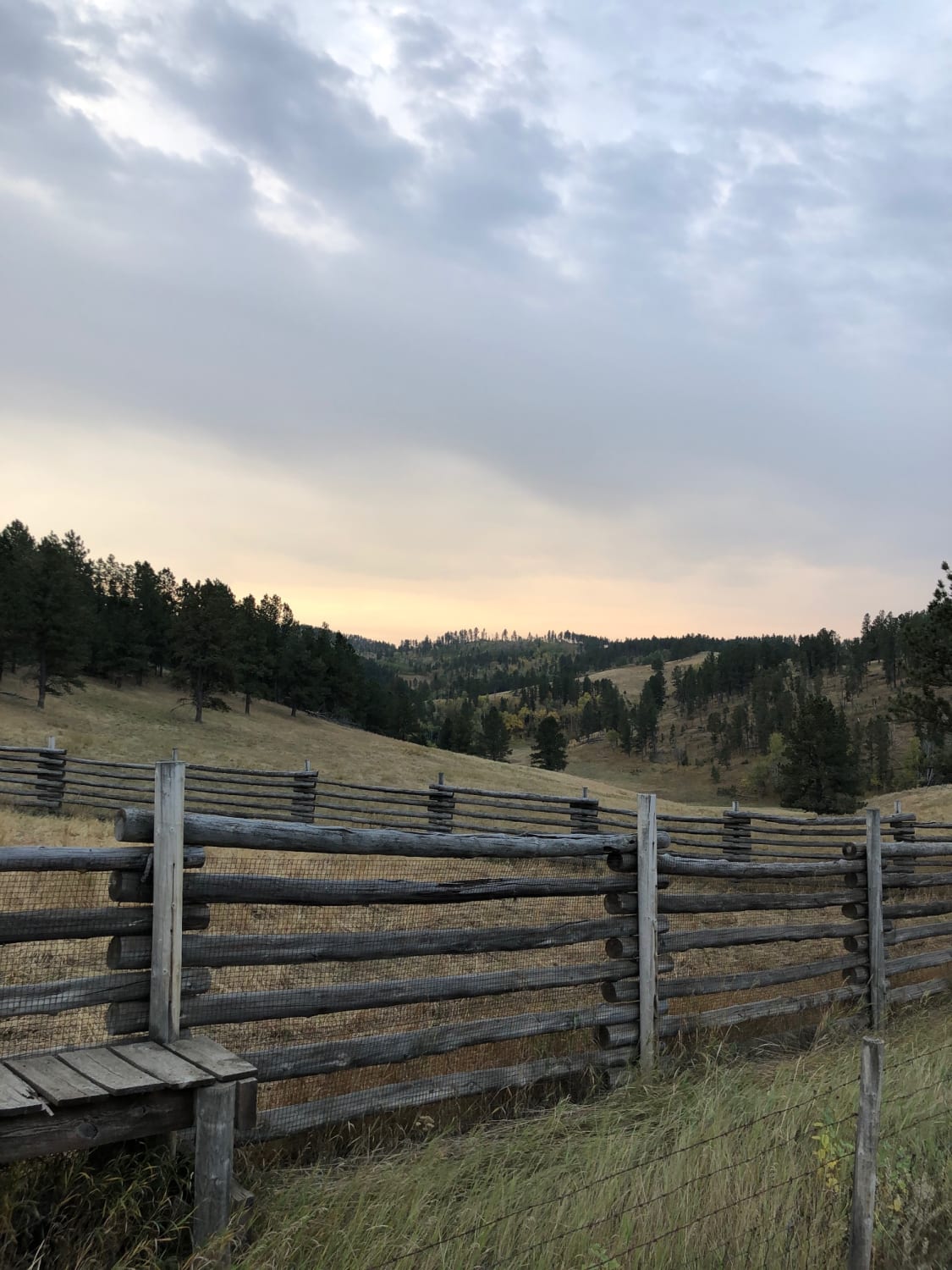
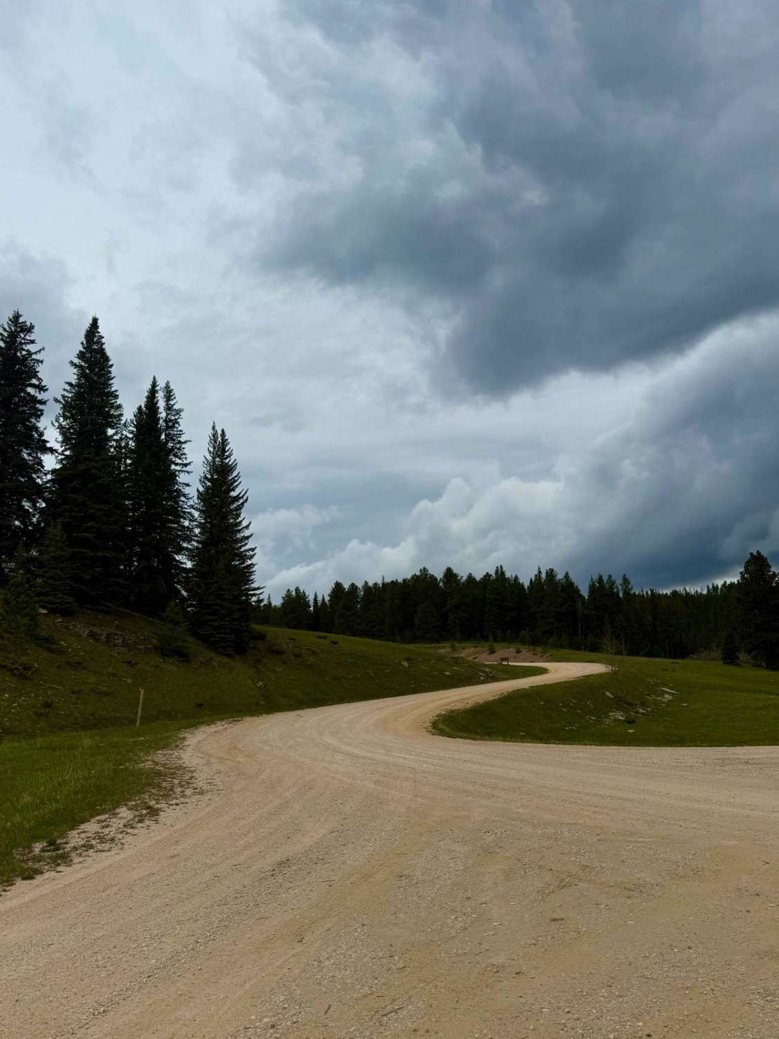
Trail Overview
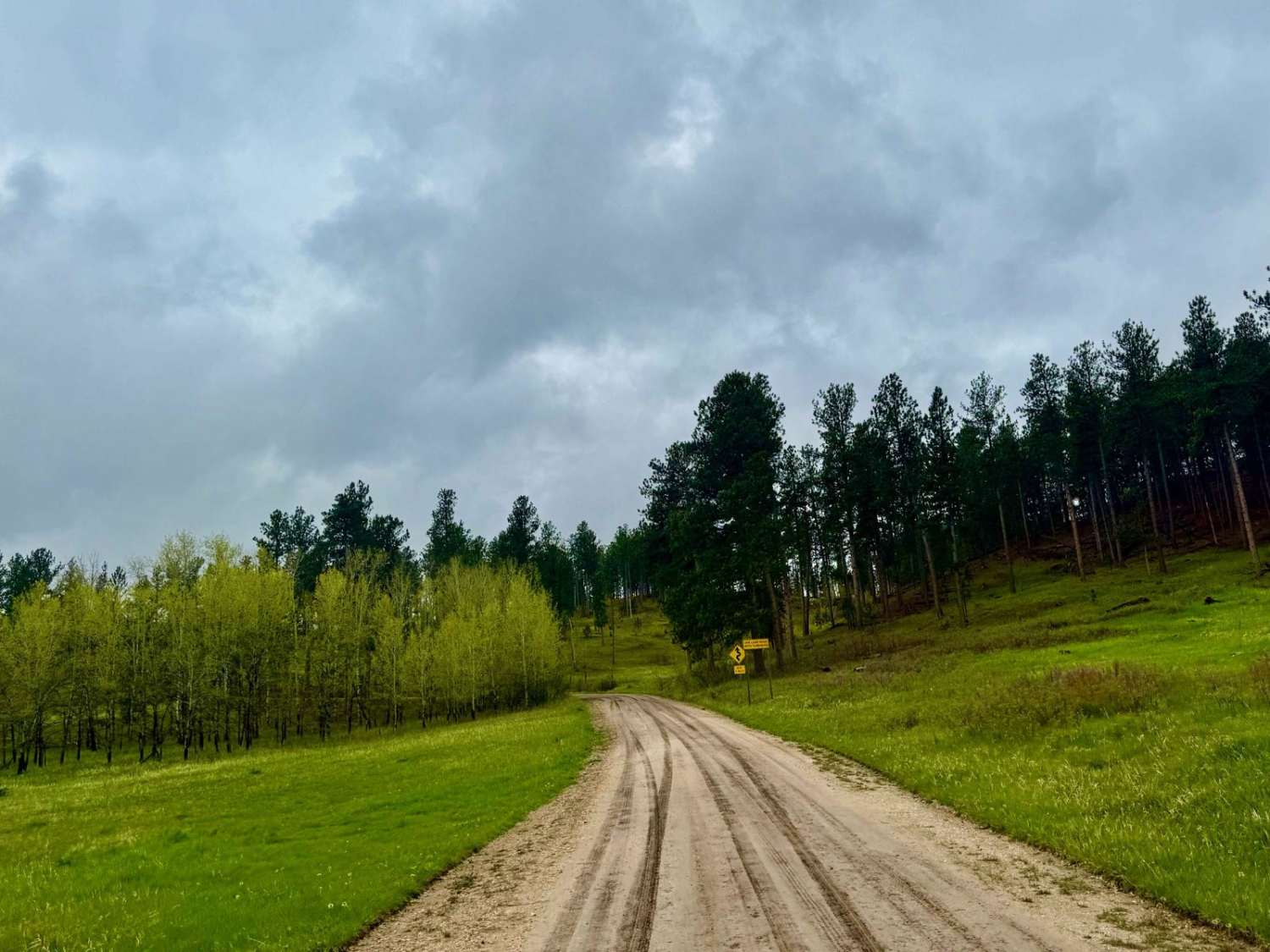
FS 456.1F is a rugged and scenic spur trail nestled within the Black Hills National Forest, offering a journey reminiscent of the Old West. This narrow, unmaintained route meanders through dense pine forests and open meadows, providing a tranquil escape for those seeking solitude. The trail features muddy sections and a few descents, making it suitable for high-clearance vehicles, especially in dry conditions. While designated camping spots are limited, the area offers access to nearby dispersed camping areas for those seeking a peaceful retreat.FS 456.1F is part of the extensive network of roads and trails within the Black Hills National Forest, which encompasses over 3,600 miles of open roads and more than 650 miles of designated trails for Off-Highway Vehicles (OHVs). This makes it an ideal starting point for exploring the diverse landscapes and recreational opportunities the forest has to offer. Pack in, pack out, leave no trace, and tread lightly.
Photos of FS 456.1F

Difficulty
This is an uneven, very slimy dirt and mud road.
Status Reports
FS 456.1F can be accessed by the following ride types:
- High-Clearance 4x4
- SUV
- SxS (60")
- ATV (50")
- Dirt Bike
FS 456.1F Map
Popular Trails
Medicine Mountain Road
West DeerField - FS 110
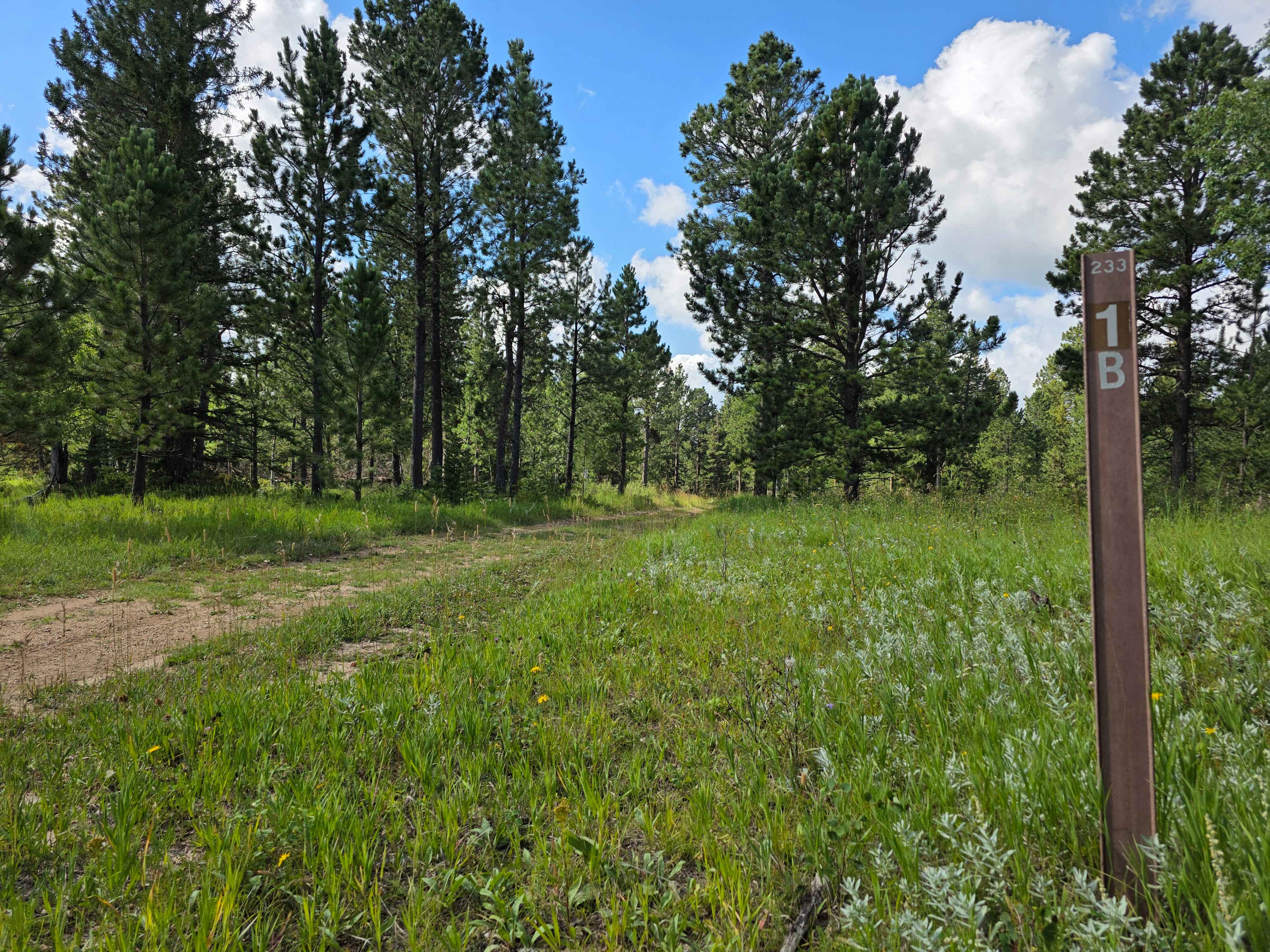
Rhoads Fork - FS 233.1B
The onX Offroad Difference
onX Offroad combines trail photos, descriptions, difficulty ratings, width restrictions, seasonality, and more in a user-friendly interface. Available on all devices, with offline access and full compatibility with CarPlay and Android Auto. Discover what you’re missing today!