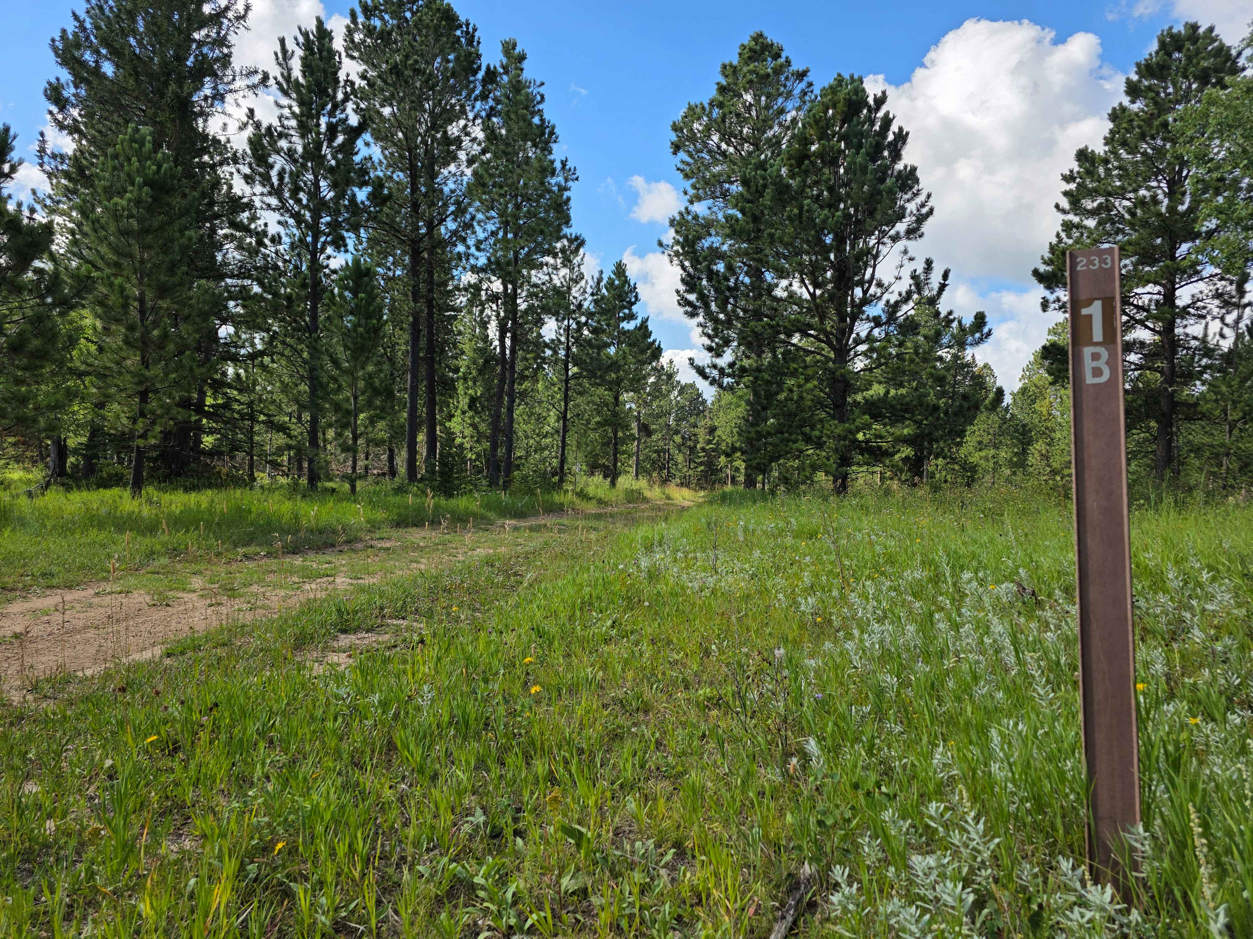
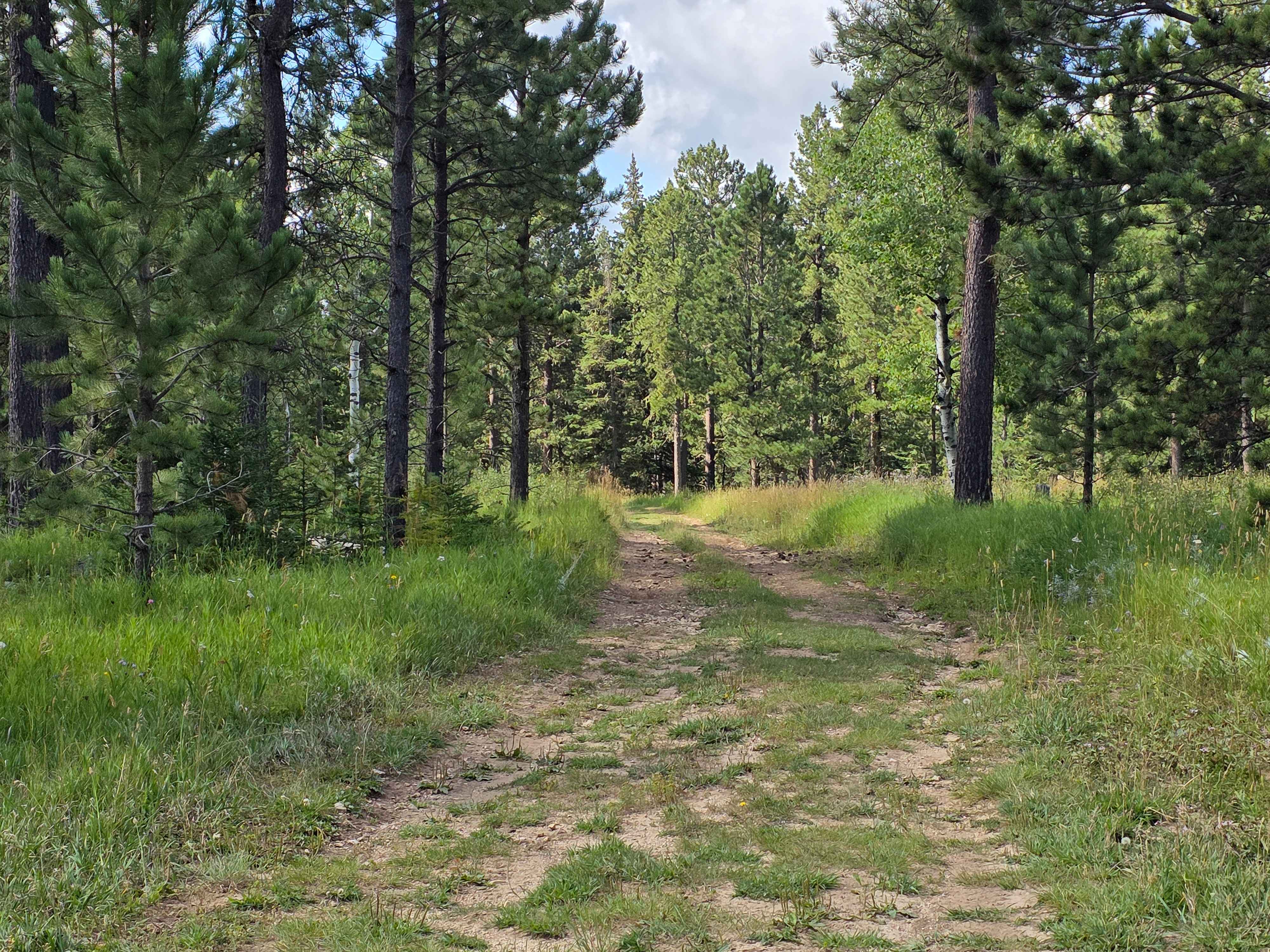
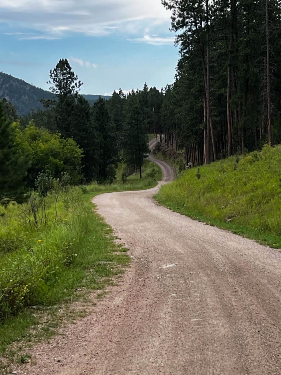
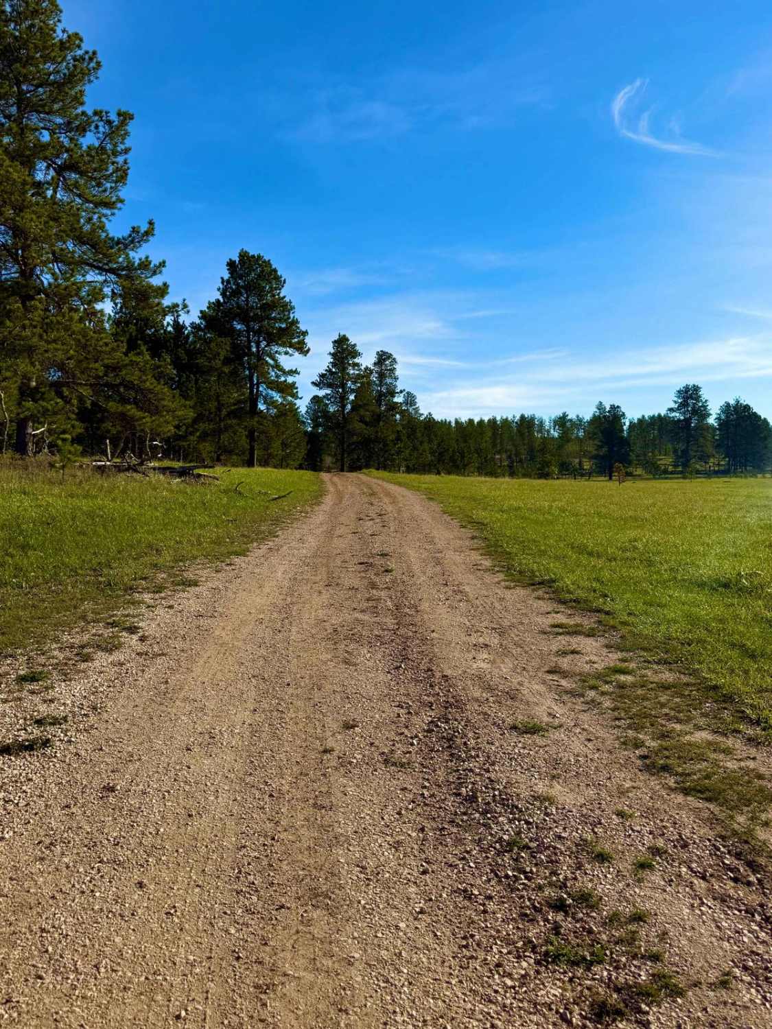
Rhoads Fork - FS 233.1B
Total Miles
1.9
Technical Rating
Best Time
Fall
Trail Type
Full-Width Road
Accessible By
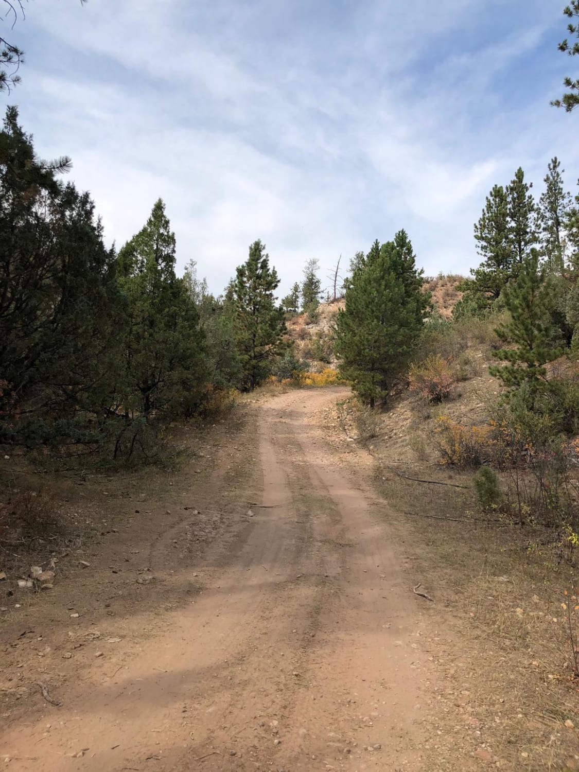
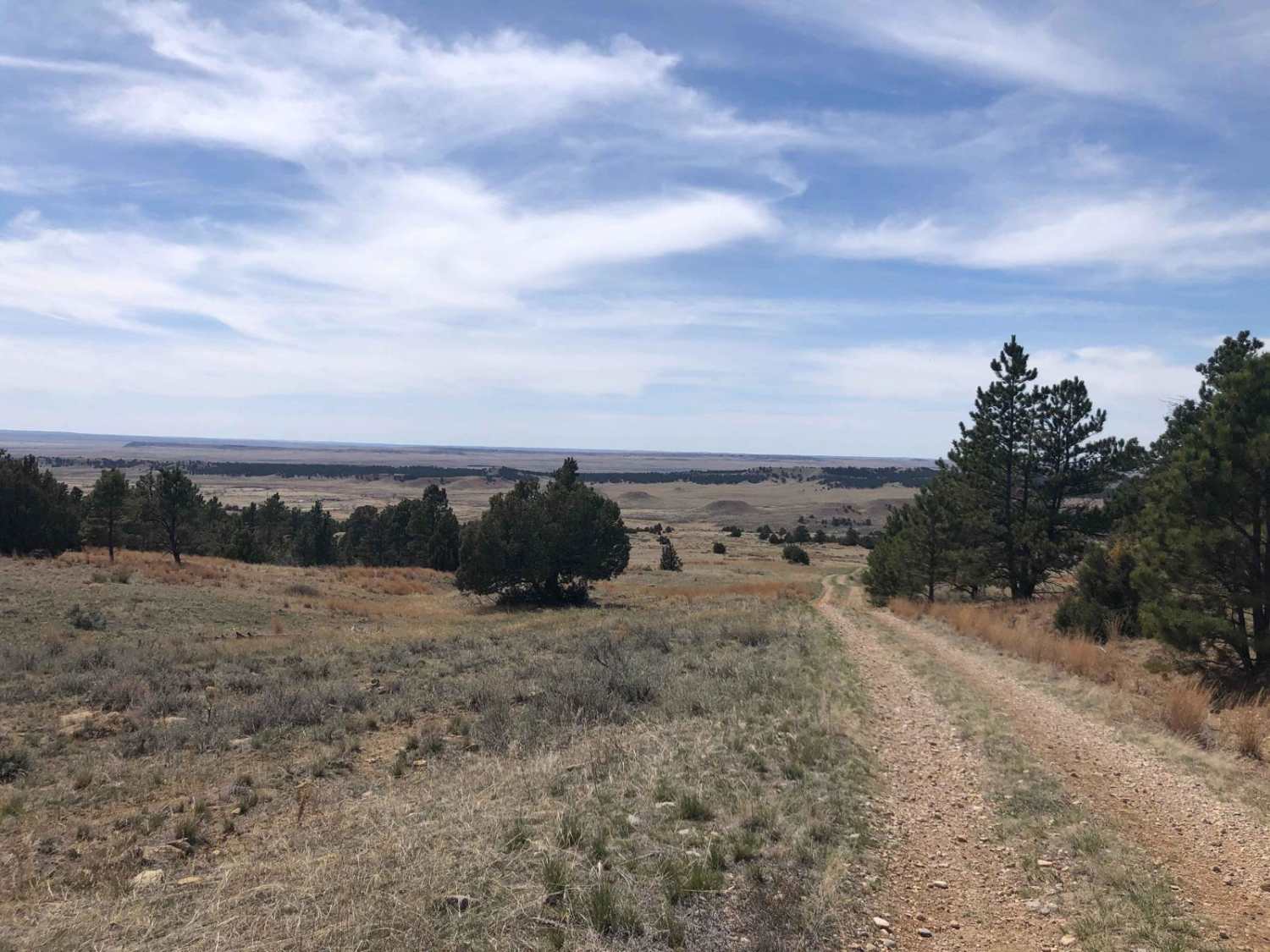
Trail Overview
Rhoads Fork is a Forest Service Road open to all, offering scenic views along an aspen-lined path before climbing a ridge to its designated endpoint at 44.073767, -103.904839. Although logging extends the road beyond this point, it is closed to motor vehicles. The trail provides wildflowers in season, dispersed camping spots, and excellent opportunities to enjoy fall colors. Visitors are reminded to pack out all trash, avoid muddy trails, go over obstacles instead of creating bypasses, and respect regulations prohibiting mud bogging and dispersed campfires. The Black Hills 4x4 community follows Tread Lightly! principles and encourages all users to do the same to help protect this area.
Photos of Rhoads Fork - FS 233.1B
Difficulty
This Forest Service Road is open to all and carries a very low difficulty rating. High-clearance vehicles are advised, but overall the route is easy and accessible.
Status Reports
Rhoads Fork - FS 233.1B can be accessed by the following ride types:
- High-Clearance 4x4
- SUV
- SxS (60")
- ATV (50")
- Dirt Bike
Rhoads Fork - FS 233.1B Map
Popular Trails
Below Pactola Dam
Slate Creek Rim Trail
Roby Canyon(FS 264)
The onX Offroad Difference
onX Offroad combines trail photos, descriptions, difficulty ratings, width restrictions, seasonality, and more in a user-friendly interface. Available on all devices, with offline access and full compatibility with CarPlay and Android Auto. Discover what you’re missing today!