Conata Basin Road
Total Miles
7.2
Technical Rating
Best Time
Spring, Summer, Fall
Trail Type
Full-Width Road
Accessible By
Trail Overview
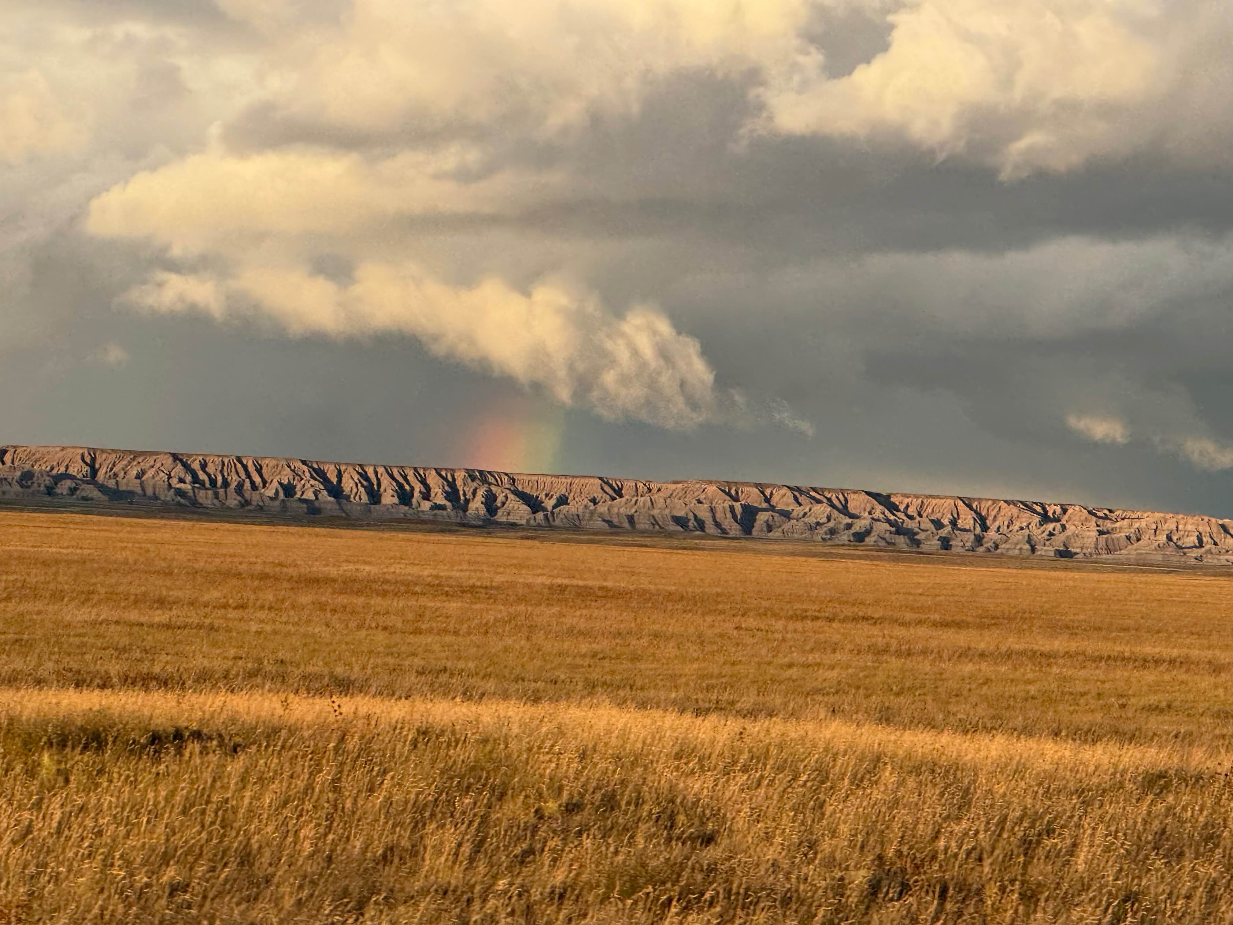
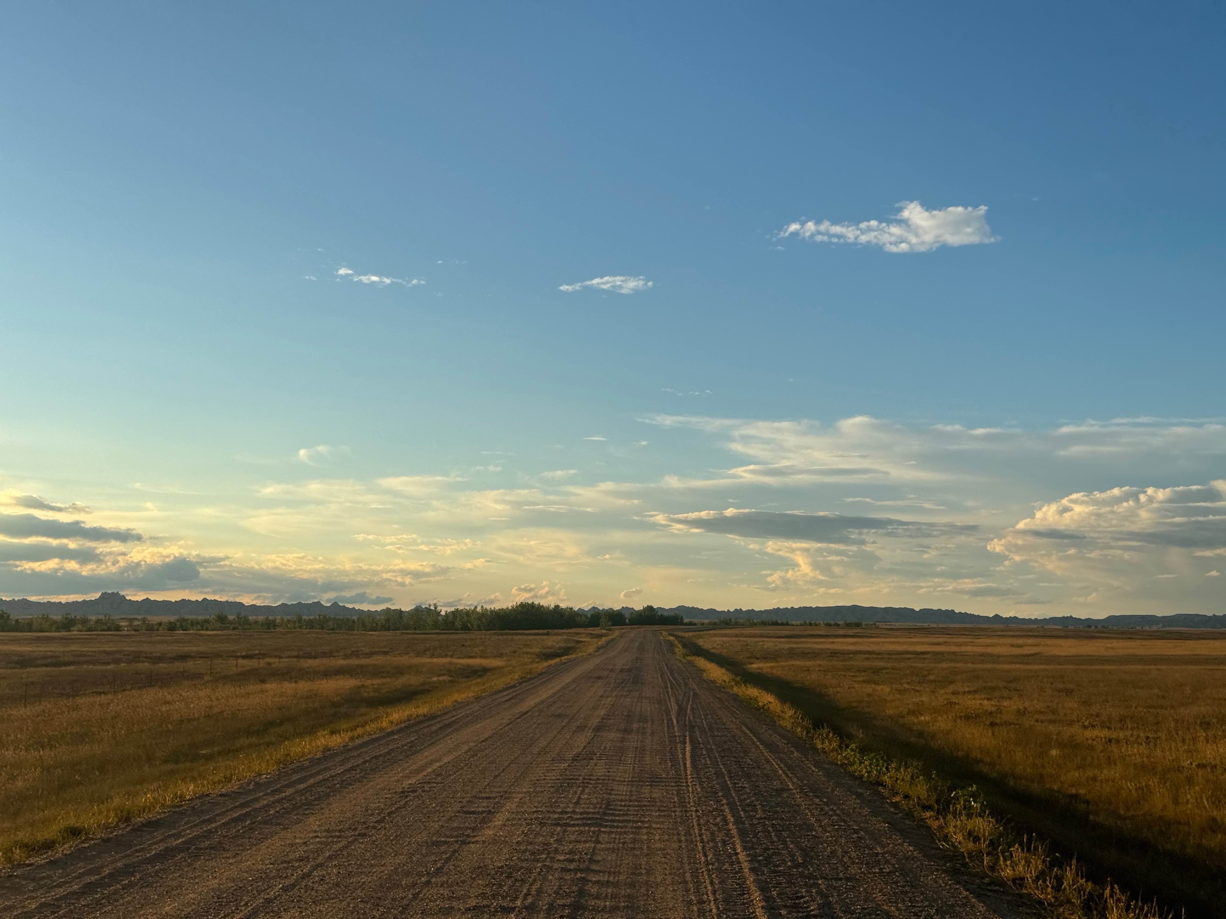
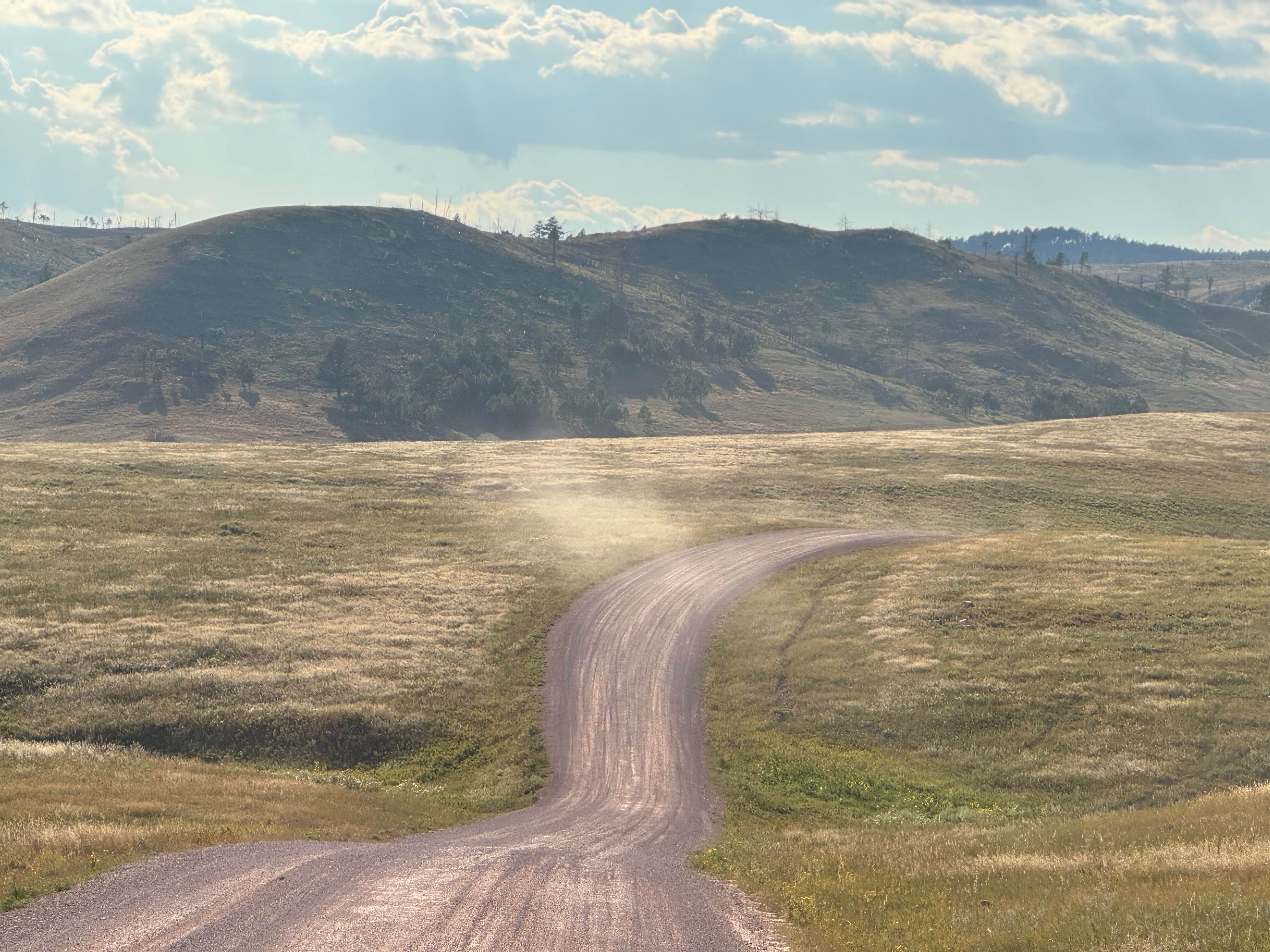
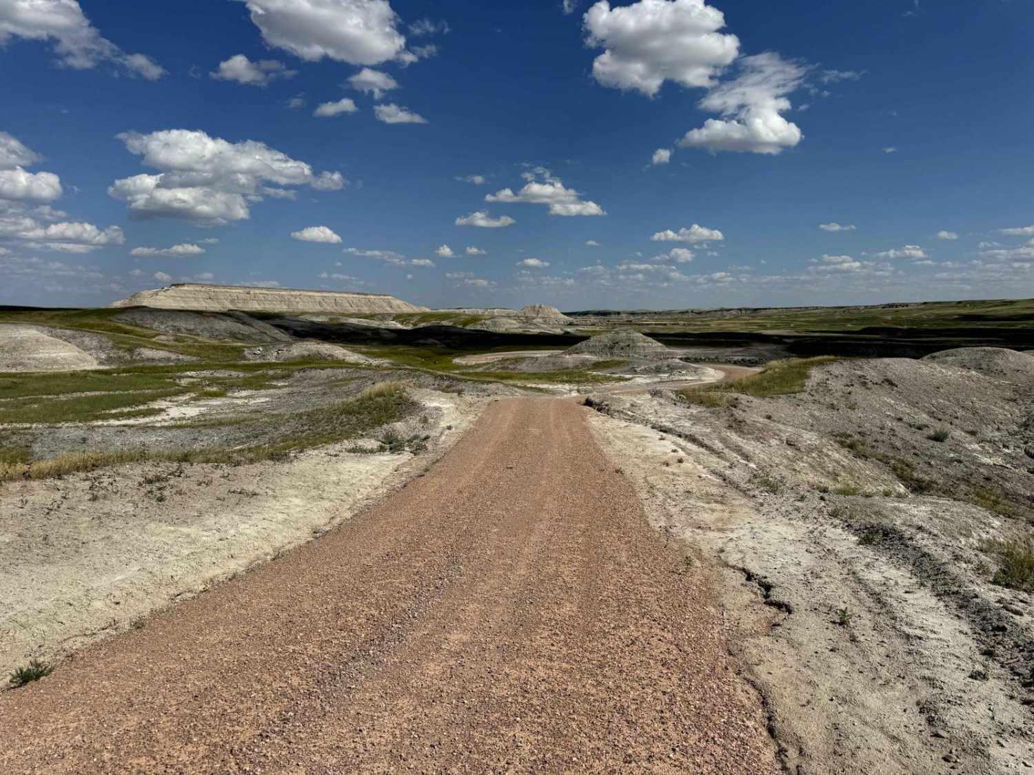
Conata Basin Road is a two-lane gravel route that winds through the stunning expanse of Buffalo Gap National Grassland, leading straight into the heart of Badlands National Park. Beginning off SD-44 to the south, this scenic drive carries you northward, offering panoramic views of the wide-open prairie on both sides and the rugged Badlands formations on the horizon. As you travel, you'll experience a transition from the rolling grasslands to the dramatic landscape of the Badlands. Near its northern end, the gravel road becomes paved as you officially enter the park (note that a National Park Passport will be needed). Along the way, you'll pass a small picnic area with a restroom perfect for a quiet stop to take in the views or enjoy a meal surrounded by nature. Eventually, Conata Basin Road connects with Badlands Loop Road (Scenic Drive), allowing for an easy continuation through some of the park's most iconic viewpoints and hiking trails.
Photos of Conata Basin Road
Difficulty
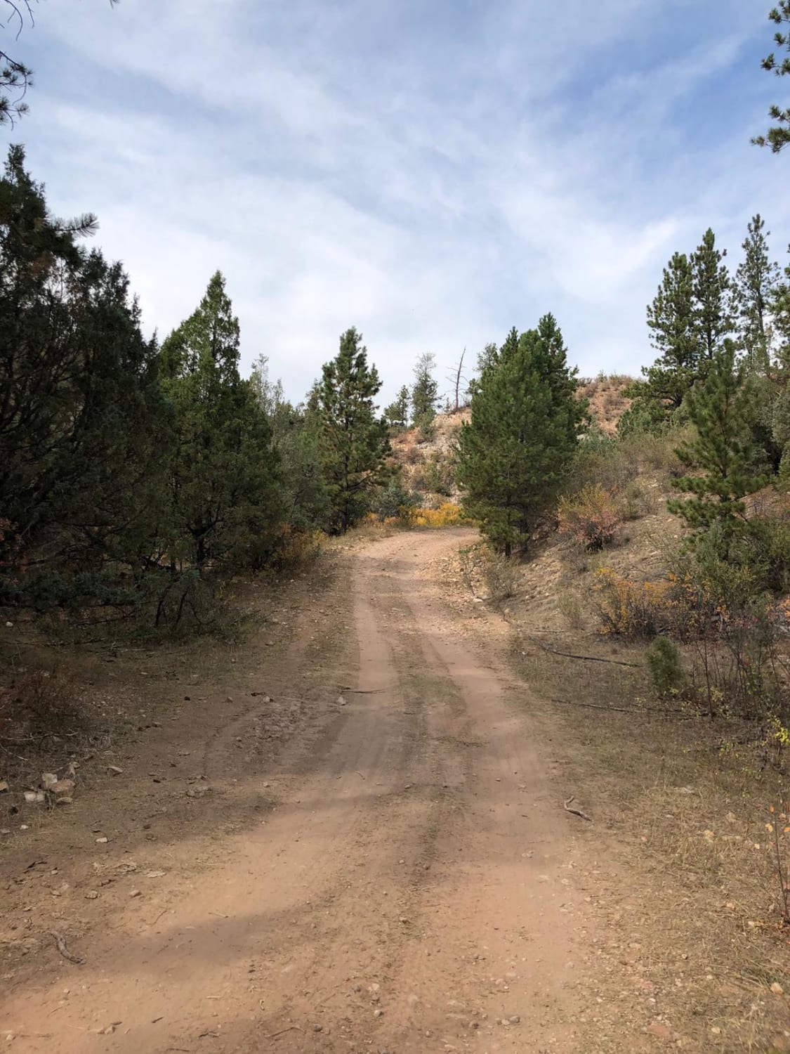
Easily traversed a two-lane gravel road without any difficult sections or obstacles.
Status Reports
Conata Basin Road can be accessed by the following ride types:
- High-Clearance 4x4
- SUV
- SxS (60")
- ATV (50")
- Dirt Bike
Conata Basin Road Map
Popular Trails
Oak Draw Road- CSP 3

Mount Coolidge Road
Roby Canyon(FS 264)
Buffalo Gap Natl Grassland South
The onX Offroad Difference
onX Offroad combines trail photos, descriptions, difficulty ratings, width restrictions, seasonality, and more in a user-friendly interface. Available on all devices, with offline access and full compatibility with CarPlay and Android Auto. Discover what you’re missing today!