SCAR Northeast Alternate
Total Miles
239.6
Technical Rating
Best Time
Spring, Summer, Fall, Winter
Trail Type
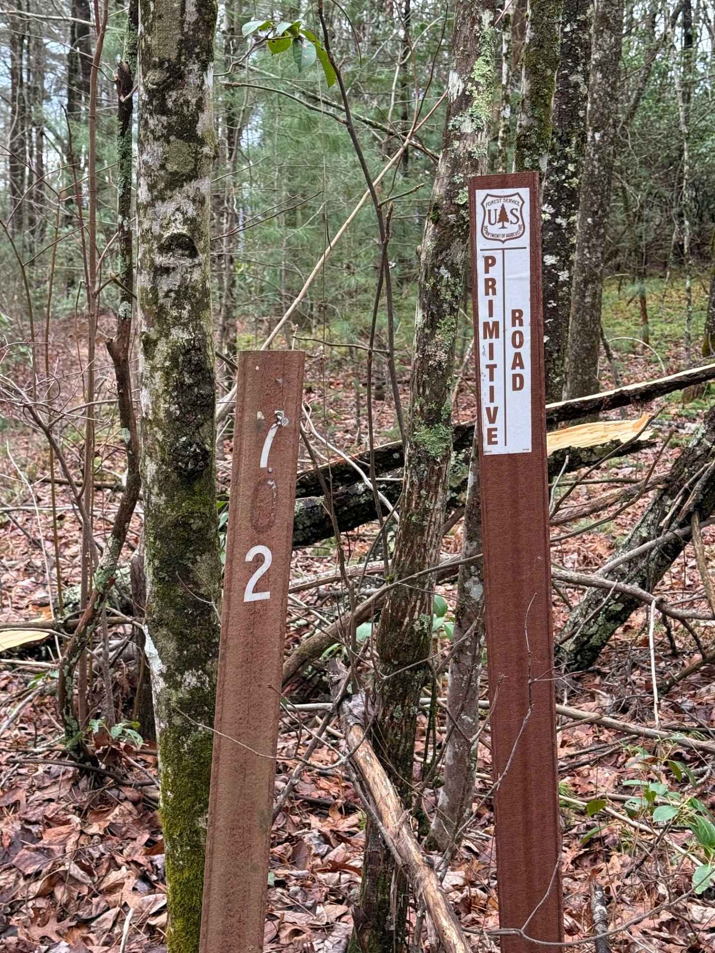
Full-Width Road
Accessible By
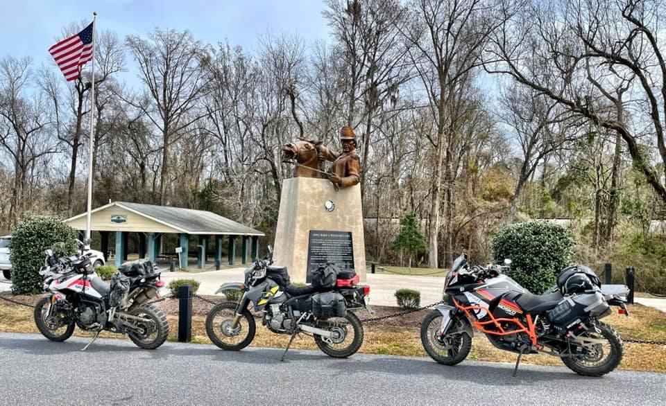
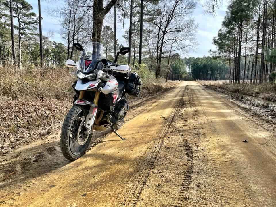
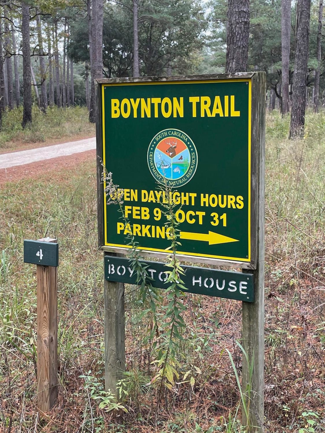
Trail Overview
Covering the northeast portion of the state, this significant addition transits Sandhills State Forest and the Carolina National Wildlife Refuge, providing an alternate route between Liberty Hill WMA and Francis Marion National Forest. Campsites marked along this route require reservations (see metadata in the individual POIs). Expect deep sand and large areas of standing water. Local conditions may often increase the difficulty of this section to a technical rating of 3 or higher. Please remember to tread lightly, especially in wet conditions. Approximately 60% off-pavement. About the SCAR:
Photos of SCAR Northeast Alternate
Difficulty
The route is not exceptionally technical, but dry conditions can leave the sandy roads loose, while wet conditions can leave the mud and clay roads slick and rutted.
Status Reports
SCAR Northeast Alternate can be accessed by the following ride types:
- High-Clearance 4x4
- SUV
SCAR Northeast Alternate Map
Popular Trails

Coordesville - FSR 130
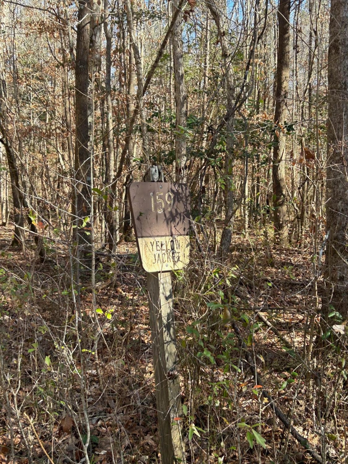
Yellow Jacket Road - FSR 159
Donnelly WMA PT.7
Bee Cove West
The onX Offroad Difference
onX Offroad combines trail photos, descriptions, difficulty ratings, width restrictions, seasonality, and more in a user-friendly interface. Available on all devices, with offline access and full compatibility with CarPlay and Android Auto. Discover what you’re missing today!